
Salt River and Wyoming Ranges
United States · Bridger-Teton Avalanche Center · part of Bridger-Teton Avalanche Center
Forecast issued 5 months ago · valid to May 31
Published by Bridger-Teton Avalanche Center
Archived · expired 4 months ago
Current forecast
Highlights
Watch for signs of unstable snow such as recent avalanches, cracking in the snow, and audible collapsing. Avoid traveling on or under similar slopes.
Forecast trend
AlpTlnBtl
Recent observations
All observations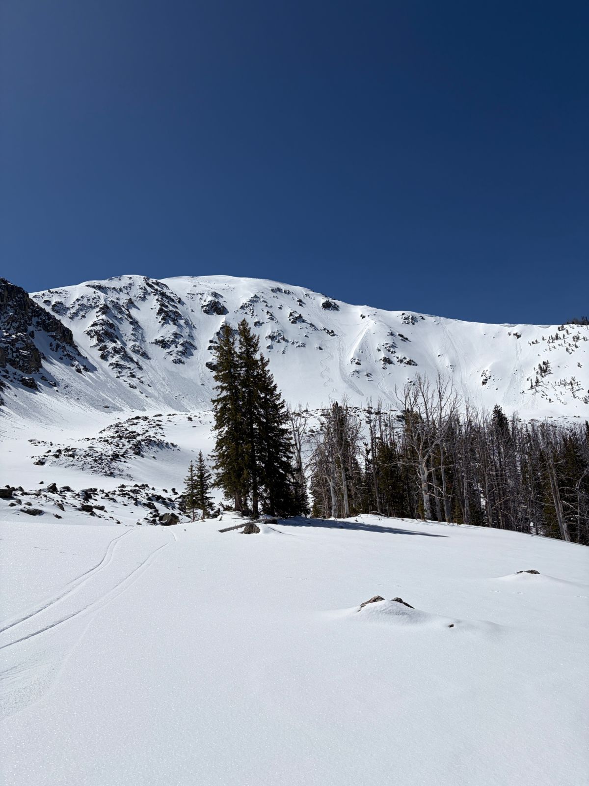
Jax peakQuick report
Quick report5 months agoHayden2
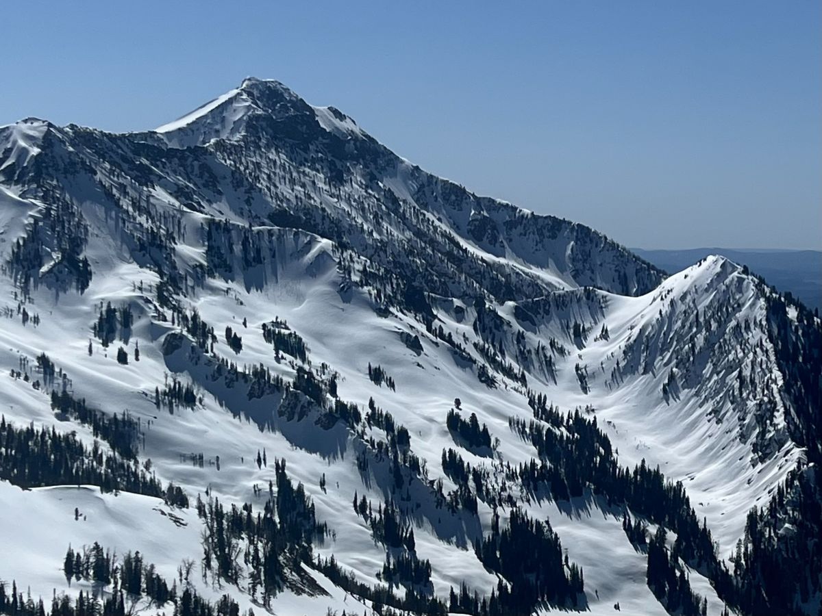
Cache PeakQuick report
Quick report5 months agoDrinkard1
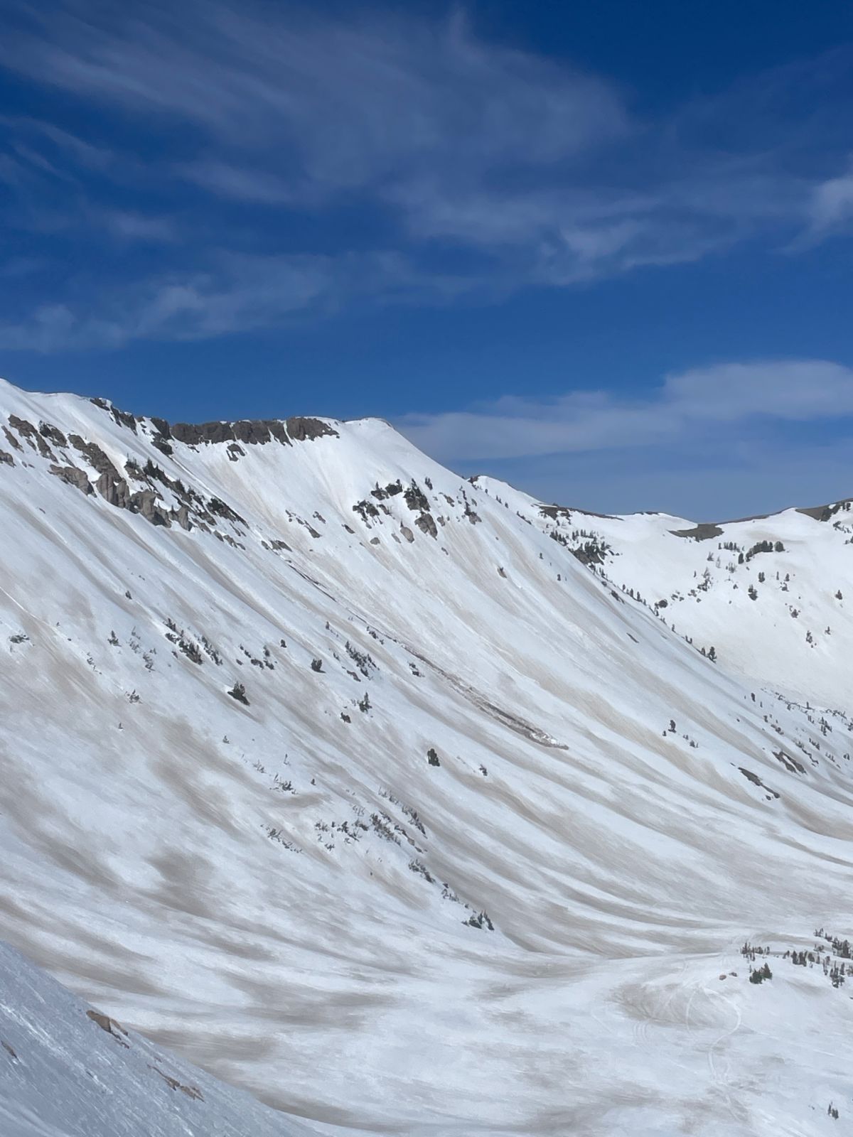
Smiths ForkAvalanche
Avalanche6 months agoKatz/Applegarth/Manship/Manship2
Crazy Mt, Northern Wyoming RangeAvalanche
Avalanche6 months agoAvalanche.org observer
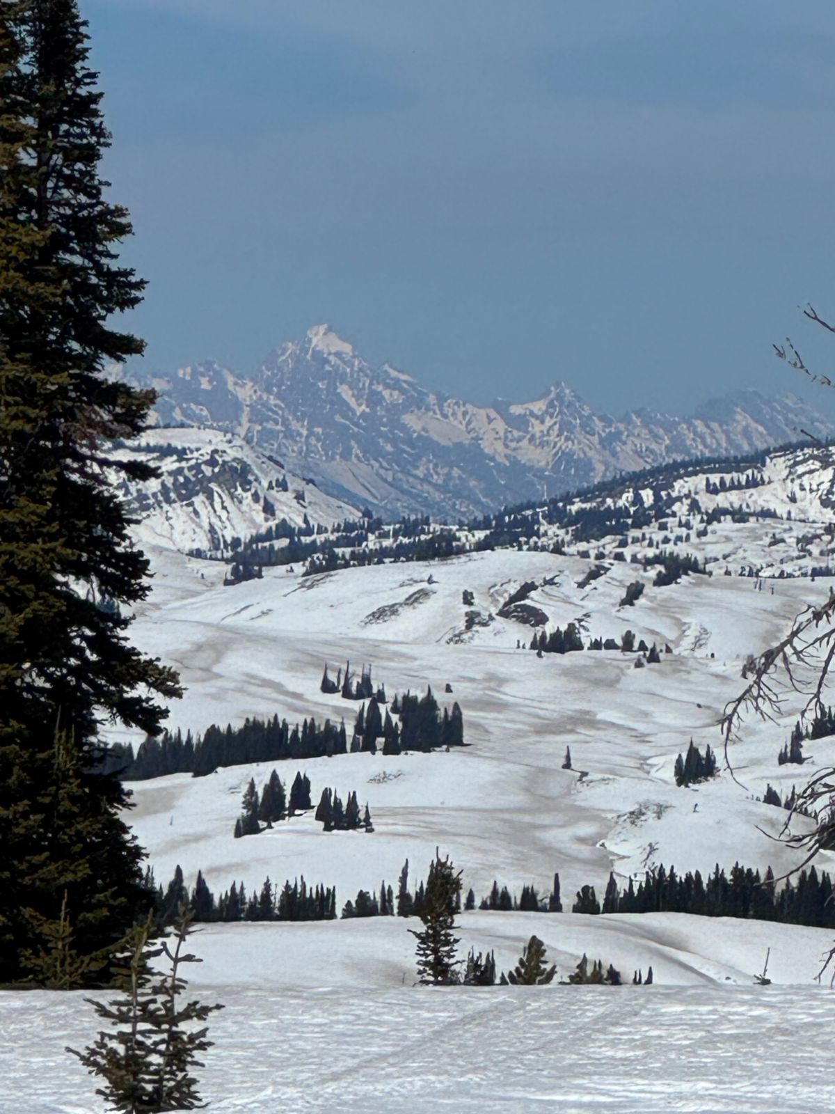
Blind Bull area in Wyoming Range Avalanche
Avalanche6 months agoAmy David8