Tongariro

New Zealand · New Zealand Avalanche Advisory · part of New Zealand

View on map

Avalanche danger

High Alpine · above 2,300 m
3 · Considerable
Alpine · 1,800 m–2,300 m
2 · Moderate
Sub Alpine · below 1,800 m
2 · Moderate

Forecast issued yesterday · valid to Aug 30

Published by New Zealand Avalanche Advisory

Current forecast

Out of date — this forecast expired 3 hours ago. You’re viewing past conditions, not the current bulletin.

Highlights

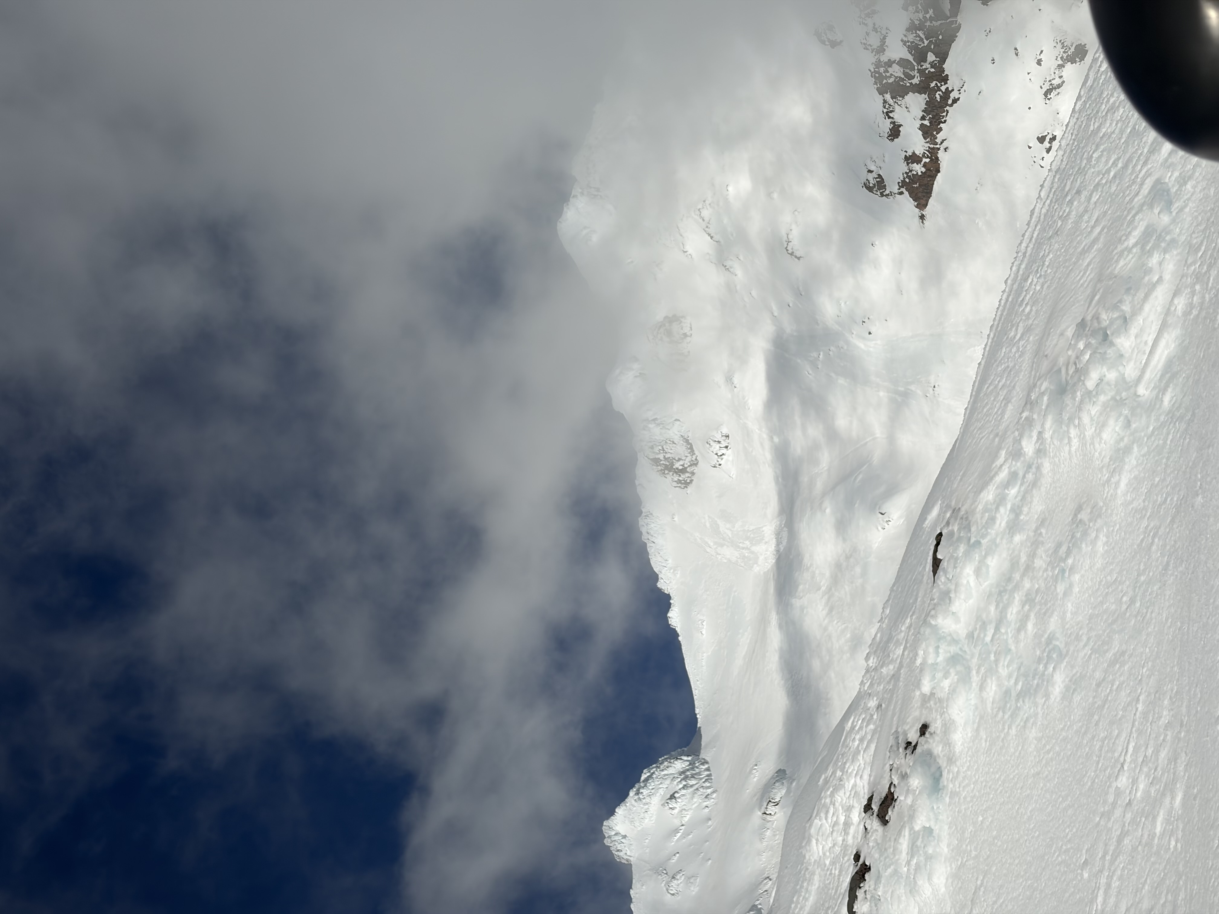
Wind slabs are likely as new snow begins to be transported at the higher elevations. At lower elevations, rain continues to weaken the surface snow, creating a loose wet avalanche hazard. Poor visibility and showers will make identifying hazards in the alpine backcountry difficult. Recommend delaying alpine travel until the conditions improve.

Avalanche problems

  • Wind Slabs

    • All elevations
    Likelihood
    Possible
    Size
    2

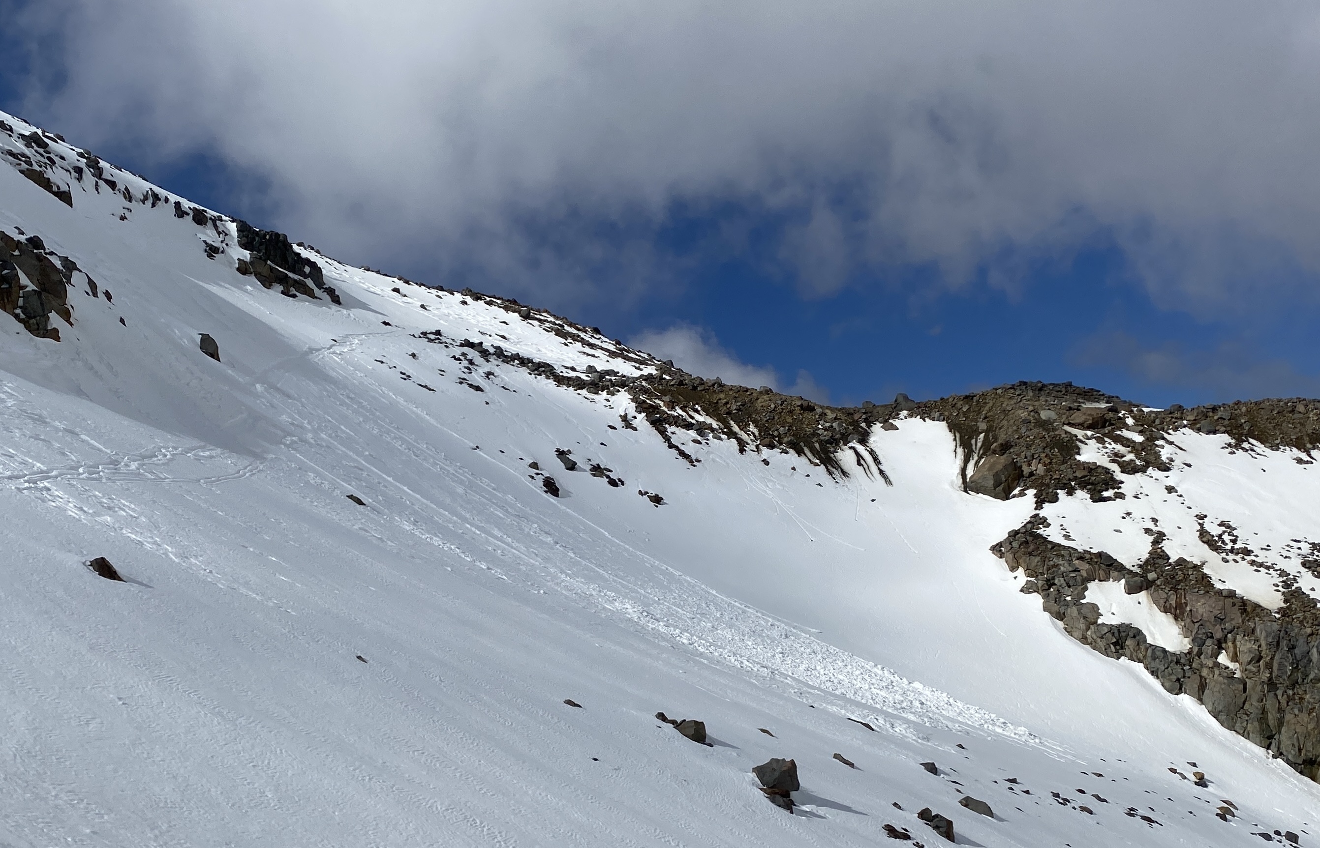
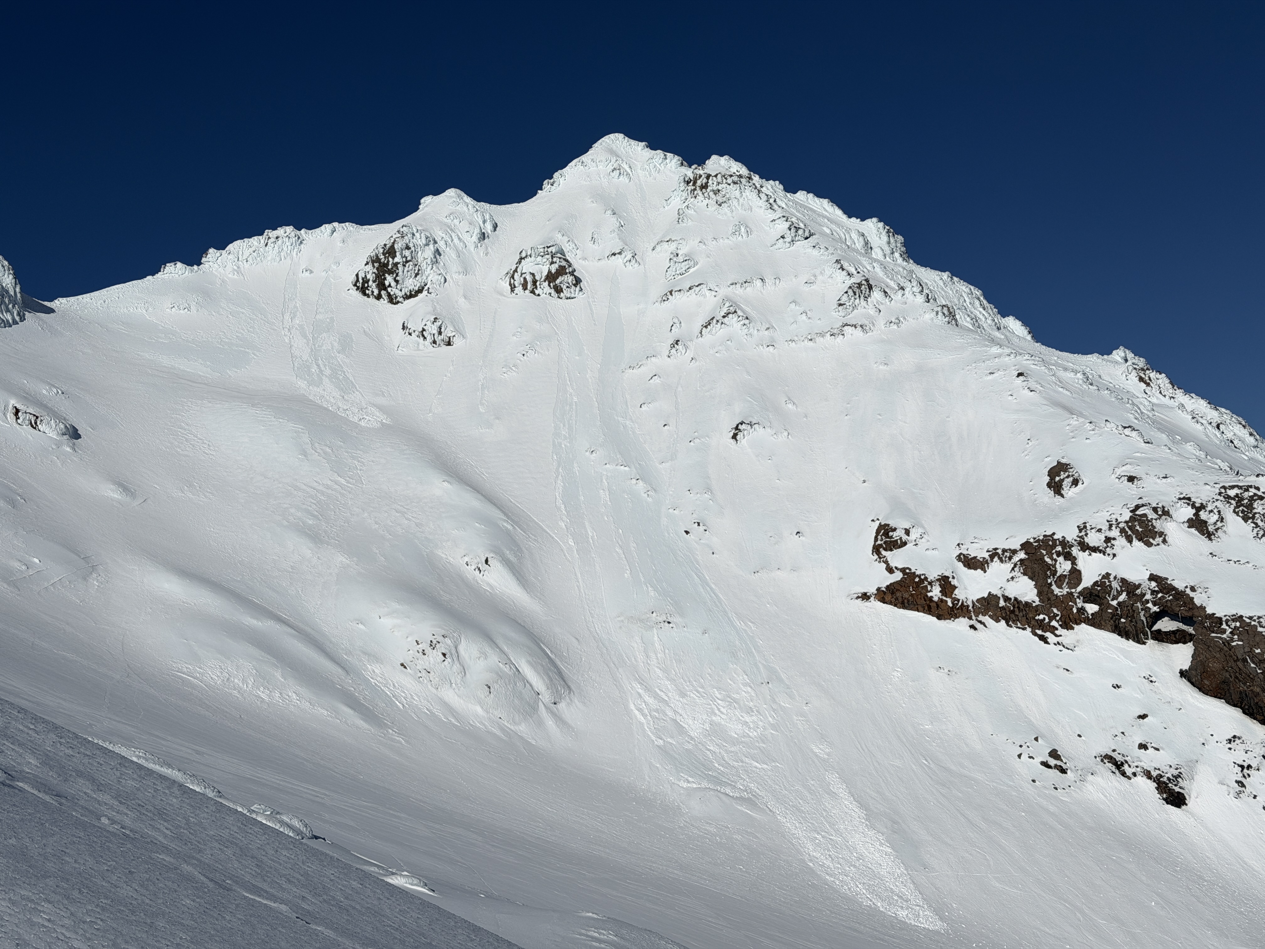
    Wind slabs will form on south and east aspects as new snow accumulates and is redistributed. Any loose material will be transported immediately, forming slabs. The locations of these deposits will be sheltering terrain features such as rocky outcrops near ridgelines, which act as catchments. This wind slab hazard may become reactive to light loads at the higher elevations. Triggering these wind slabs will be more likely on steep, extreme, unsupported slopes.

  • Loose Wet

    • All elevations
    Likelihood
    Possible
    Size
    1.5

    Loose wet avalanche activity will increase as snowpack saturation continues at the lower elevations. Rain will continue to weaken the surface snow, increasing the likelihood of triggering avalanches on steep slopes. This is affecting the snowpack, reducing surface structure. Watch for signs such as rollerball and pinwheel activity.

Recent Avalanche Activity

No natural or human-triggered avalanche activity has been reported or observed over the past 24 hours. Visibility and weather have been poor, limiting observations.

Current Snowpack Conditions

Rain has impacted the snowpack again overnight into Saturday the 29th of August. Over the past 24 hours, more than 30 mm of rain has been recorded at 2000 metres elevation. Saturation of the upper layers has continued, with snowpack erosion and depletion occurring at the lower elevations (below 2000 metres). This is influencing surface structure, with stability being reduced. The deeper supportive snowpack is currently consolidated, with buried crusts contributing to structural integrity. The existing surface crusts in the southwest are robust but are starting to break down with rain saturation. The threshold is rising and is now about 1900 metres in the northwestern areas. The threshold in the southwestern areas is at an elevation of about 1700 metres.

Mountain Weather

Sunday the 30th of August will have a few showers, more persistent in the afternoon and evening. The winds are mostly strong westerlies, with gales at times. The freezing level is 2400 metres, lowering to 2000 metres in the evening. A low moves slowly southeast across the upper North Island today while several fronts affect the South Island. The low moves away to the east of the North Island tomorrow morning, and a strong, unsettled west-to-southwest flow covers New Zealand.

Sliding Danger

The snowpack is currently wet with surface layers saturated by recent rain at the lower elevations. An overnight refreeze of the wet snowpack will result in slick and icy surface conditions. Numerous hazards, including exposed rocks and cliff bands, exist. It is recommended to carry an ice axe and crampons when venturing into the backcountry. Having strong alpine skills is essential for navigating over slick surfaces, as the consequences can be severe.

Forecast Confidence

Low

  • We are uncertain due to a limited number of field observations.
  • We are uncertain about forecast precipitation amounts.

New Zealand Avalanche Advisory (NZ Mountain Safety Council)

Forecast trend

AlpTlnBtl