
Quick report
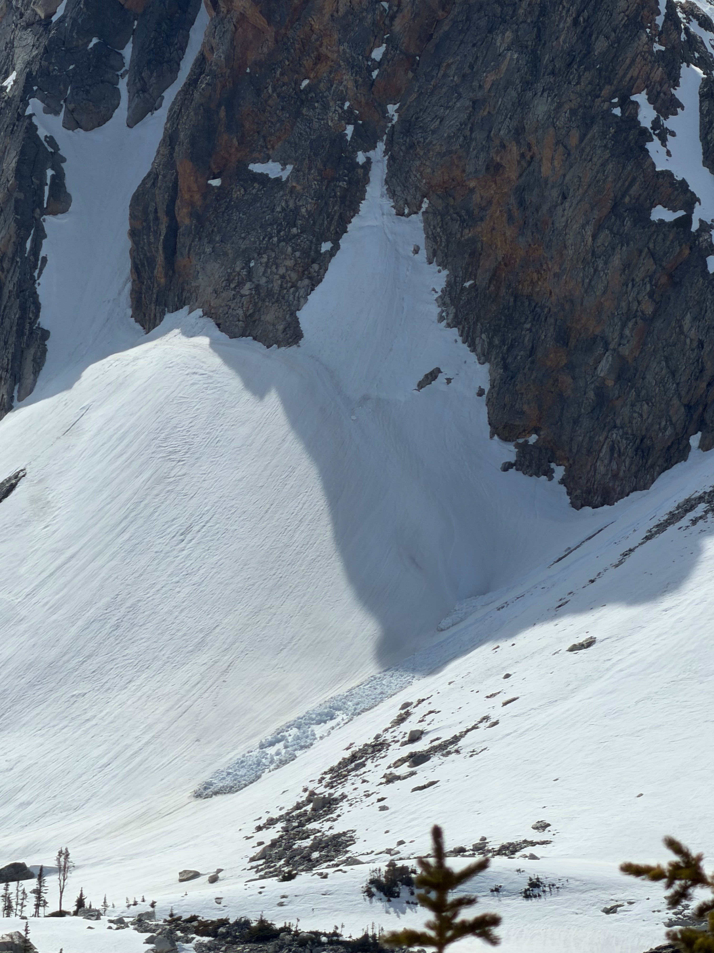
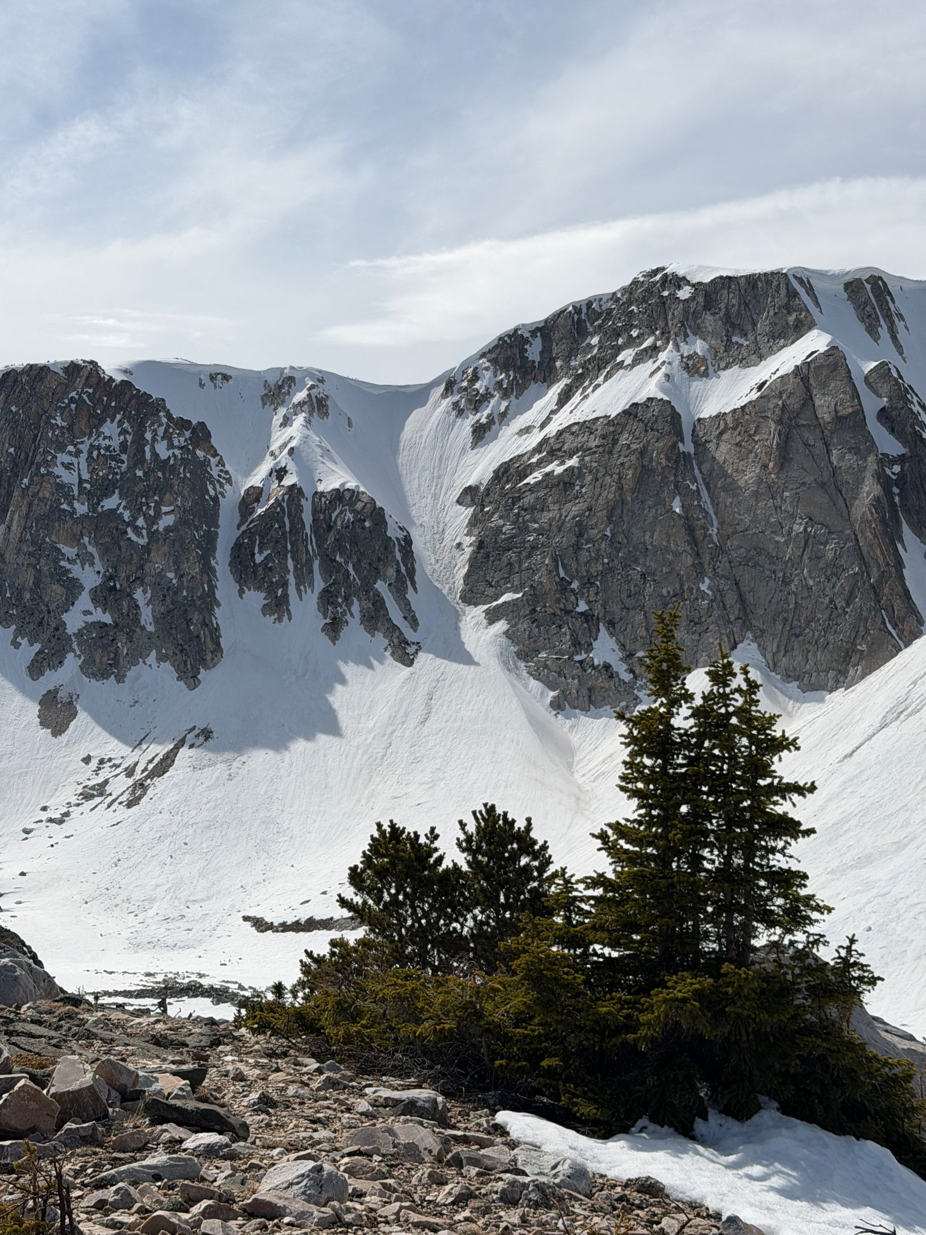
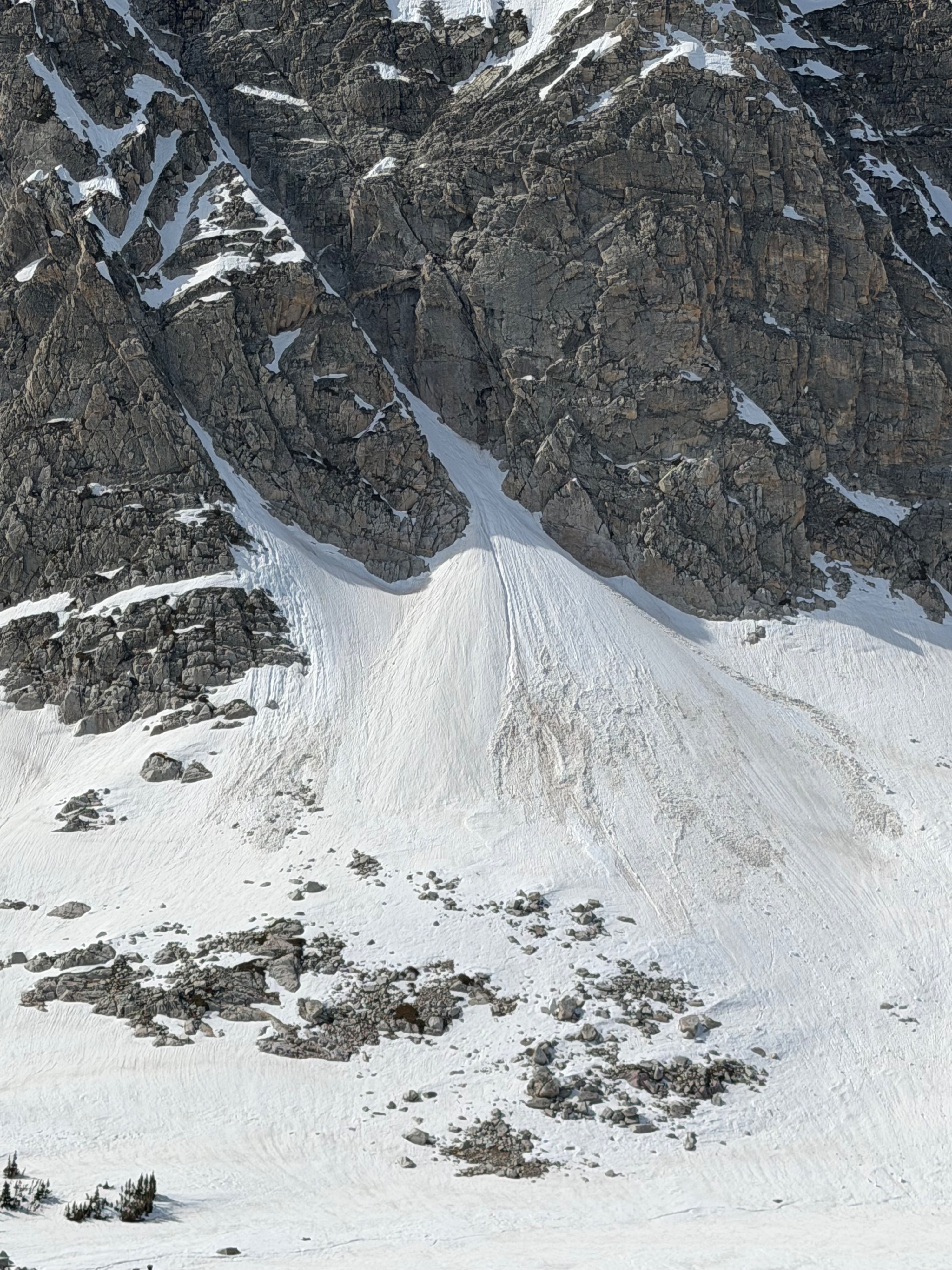
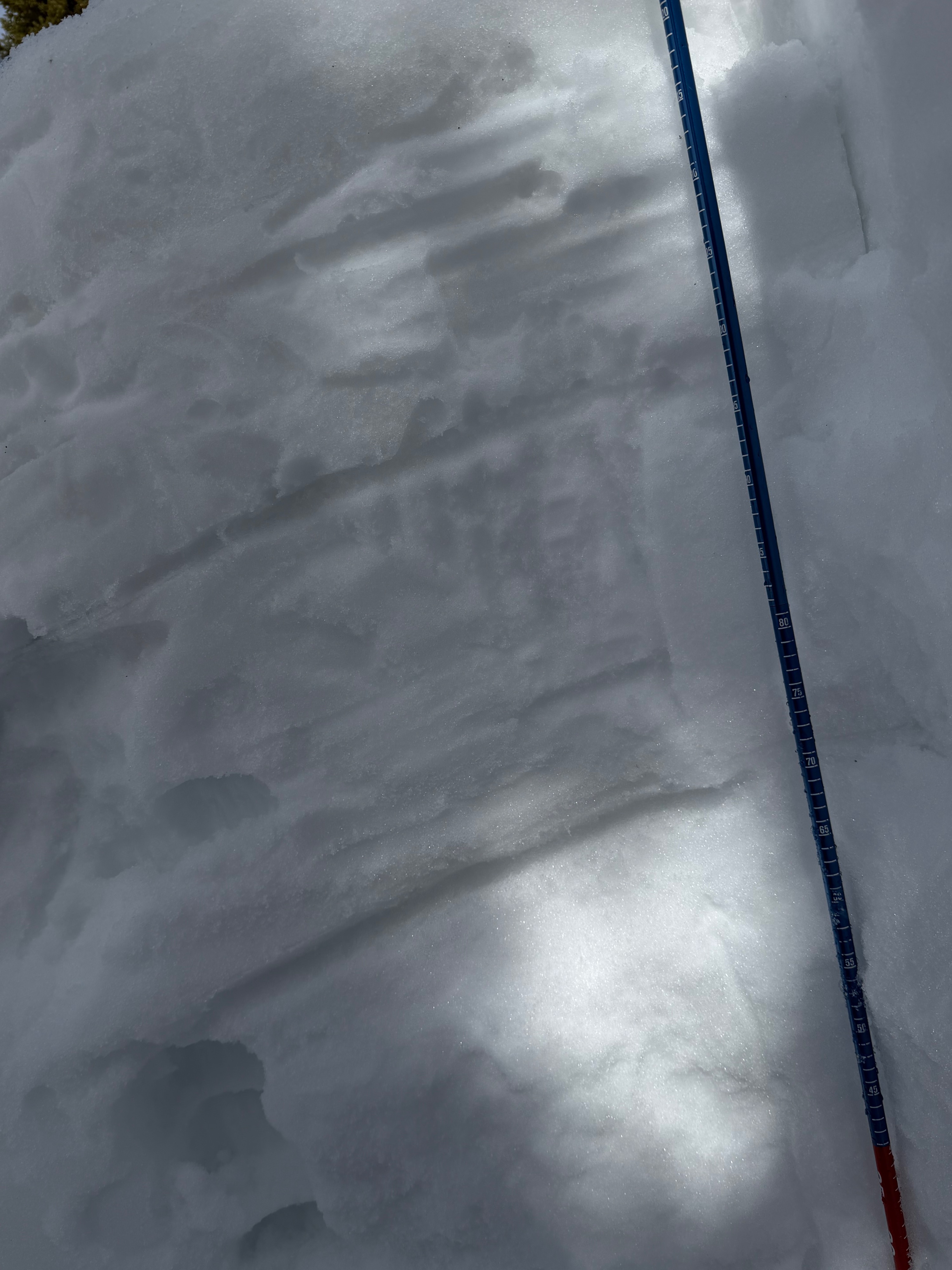
We observed late spring snowpack conditions. The snow is very punchy in areas and is saturated from top to bottom with moisture. This snowpack is quickly melting due to the abnormally high temperatures we’ve been experiencing the past few weeks. With that said, there are still areas with ice crusts buried down from the top third to halfway through the snowpack, where melt water can collect and add weight to the weak layers directly below these ice crusts. This can lead to wet loose avalanches problems and potentially bigger glide avalanches. Caution should be taken in sun exposed areas, on slopes greater than 30 degrees, for those that are enjoyed this “late season” snow. Roller balls on top of the snow and point releases are good indicators of wet loose avalanches.
Snowpack
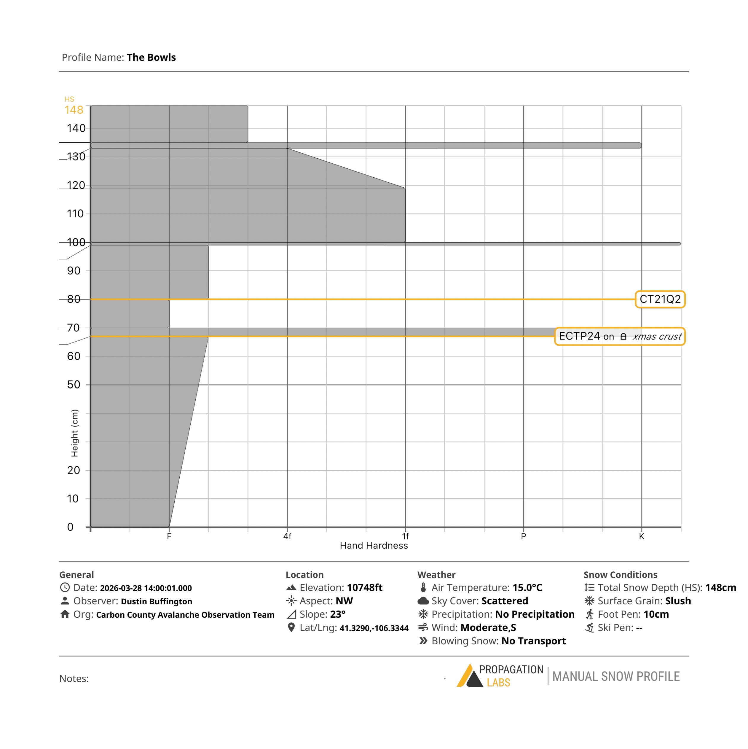
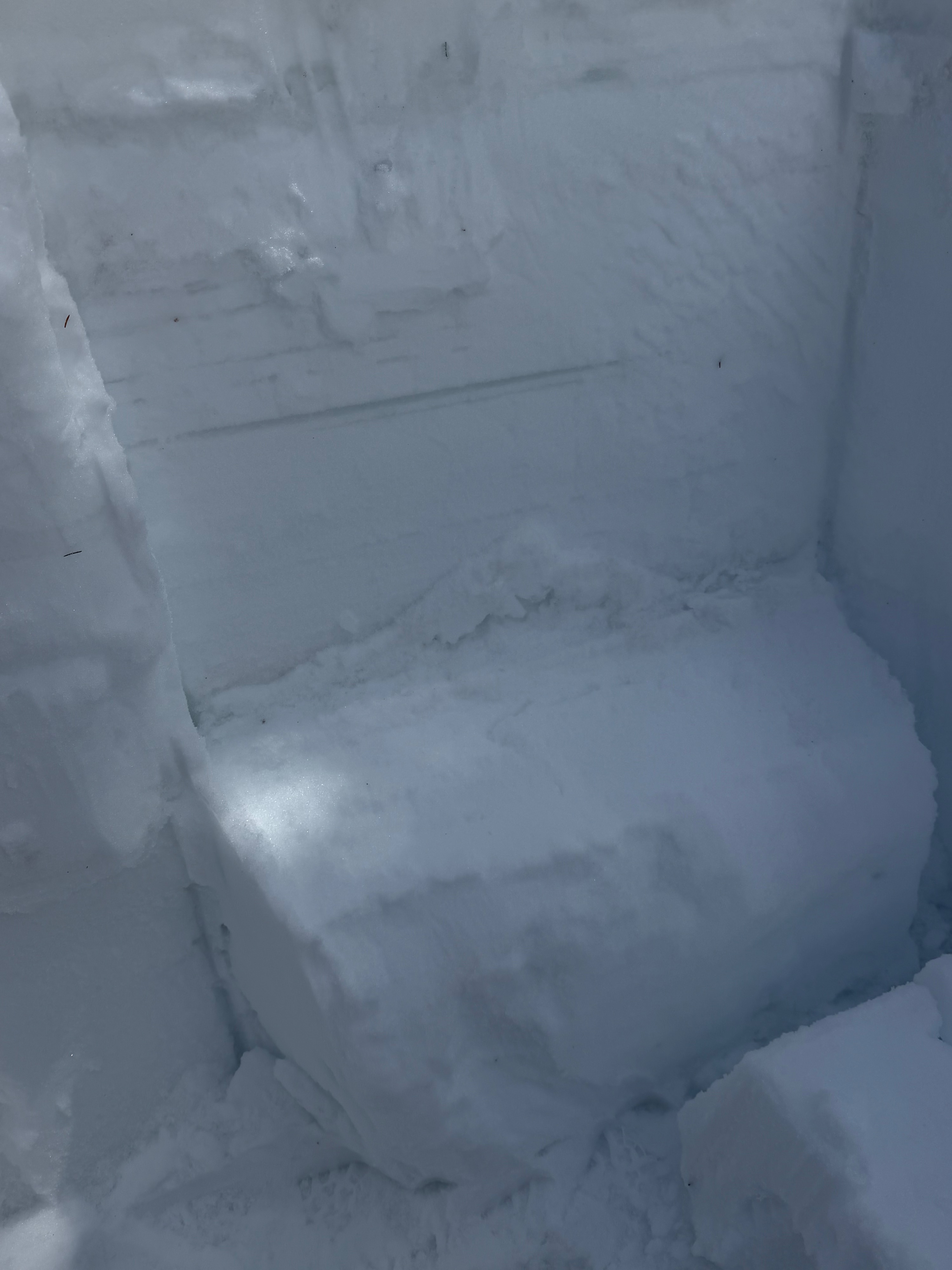
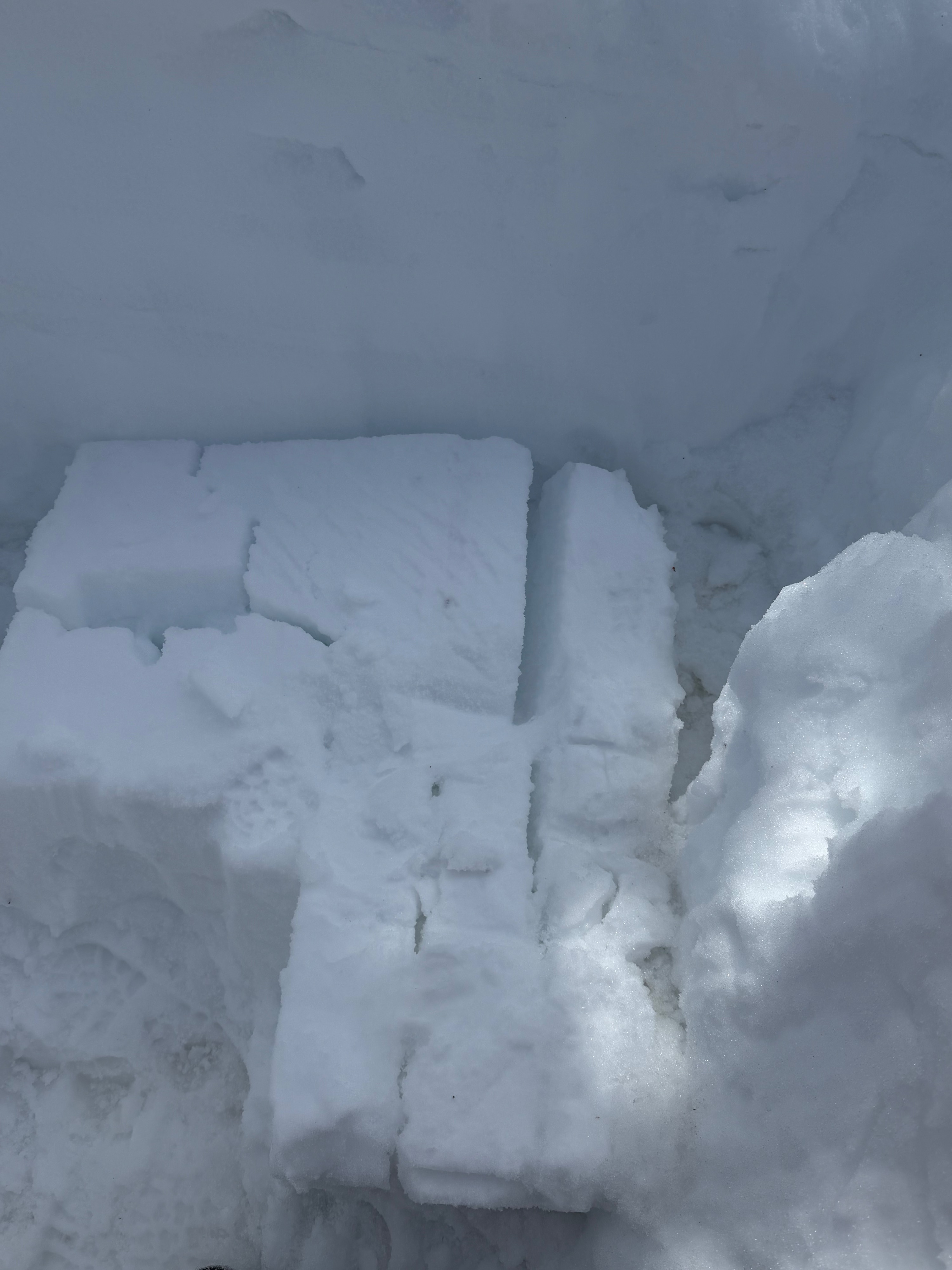
The snowpack in this area was 148cm deep with varying densities throughout. Harder heavy snow in the upper third and softer, weaker snow at the bottom third. Also a very wet snowpack. Our extended column test was stubborn but still got a reaction on the Christmas ice crust. ECTP24@67cm