
Quick report
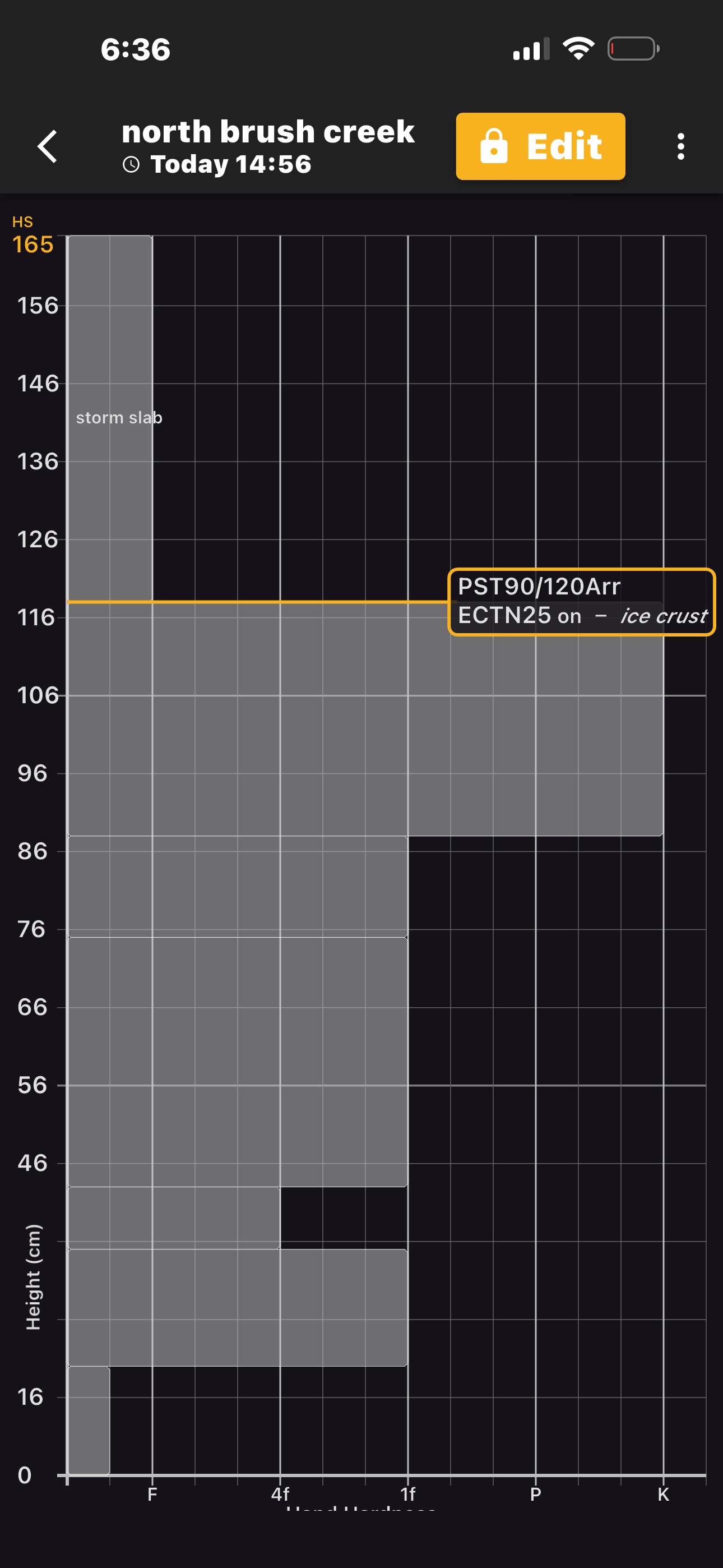
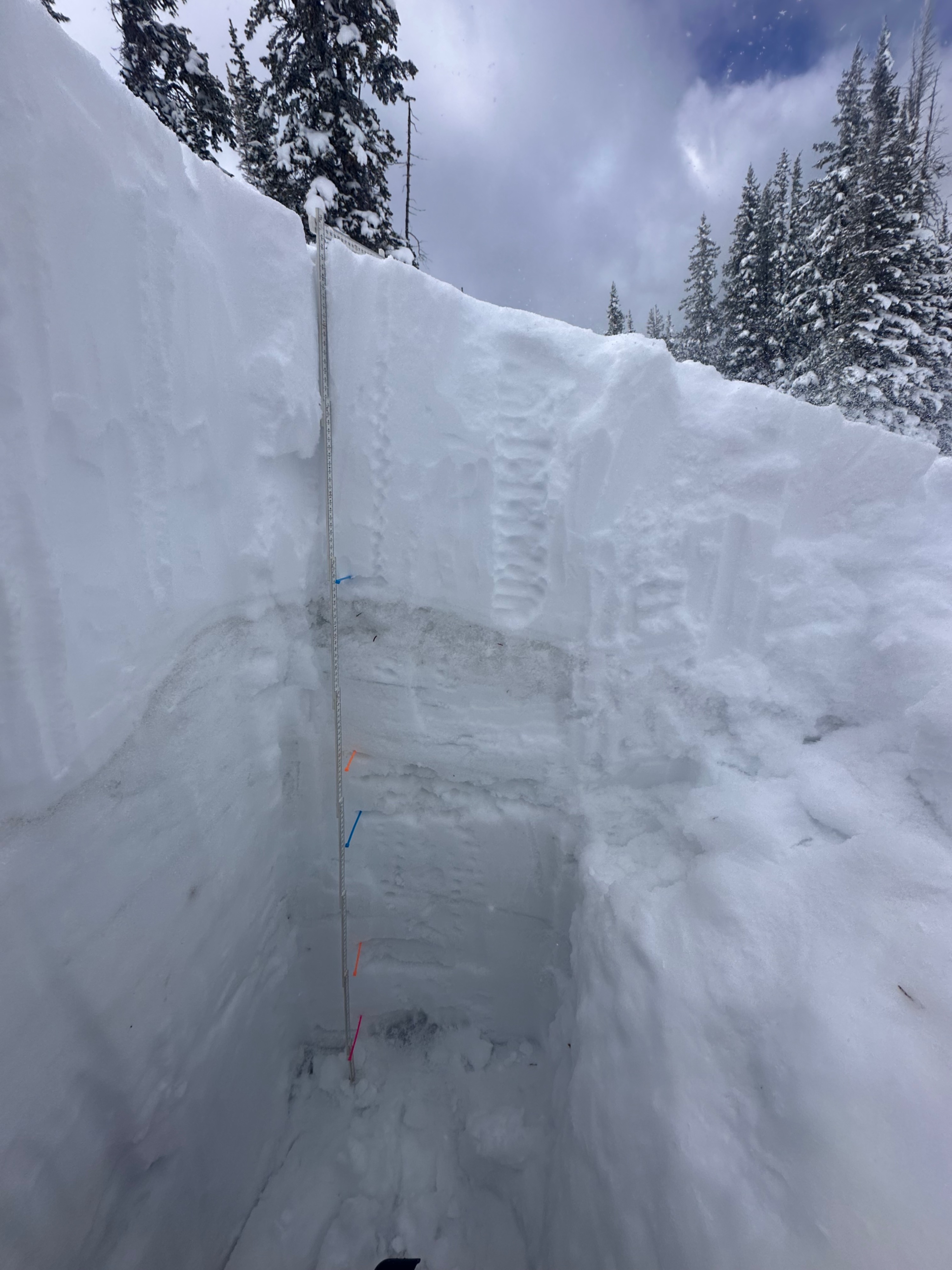
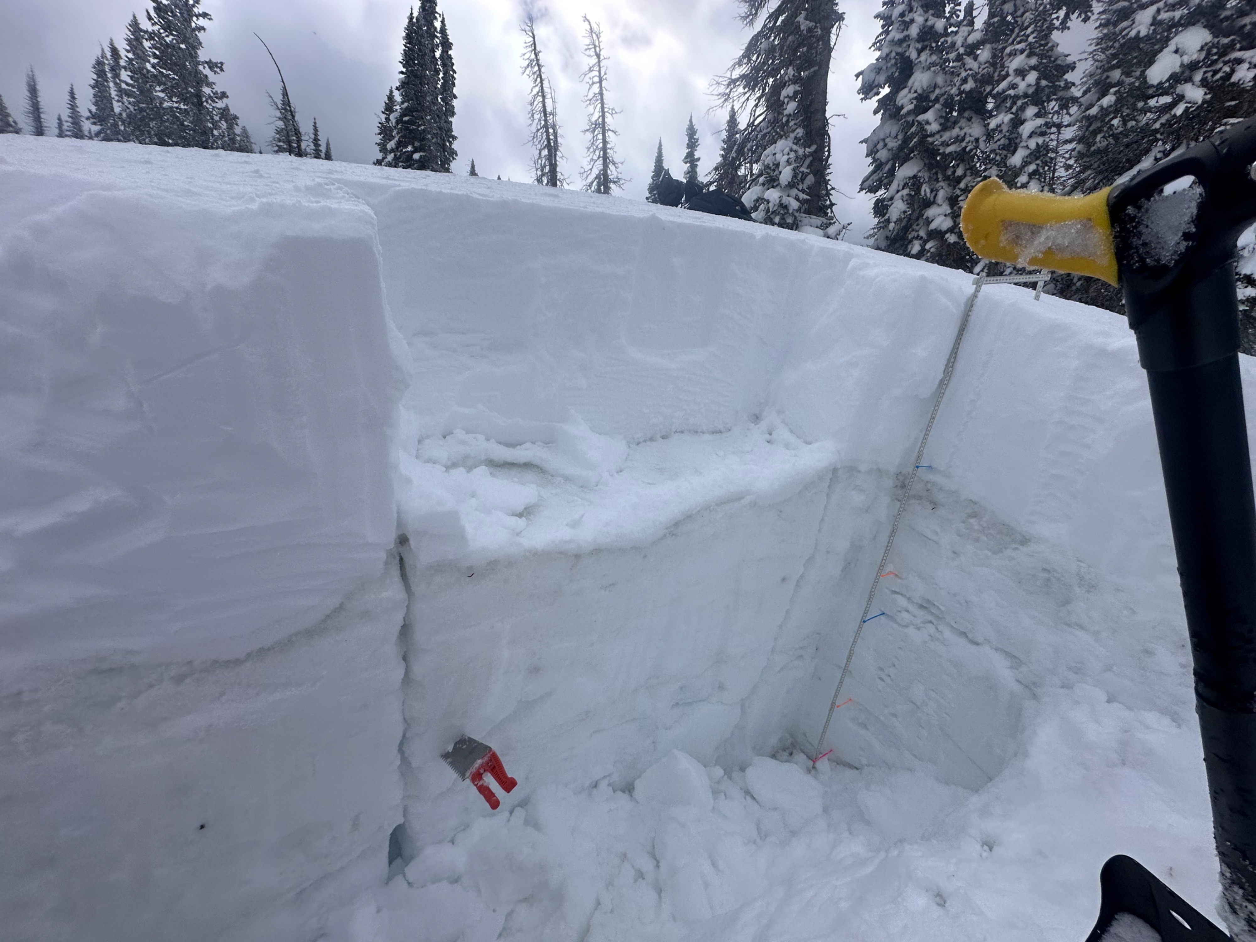
New recent snowfall of 18 to 20 inches fell on top of a very thick ice crust which formed from moisture traveling through the snow during our warm weather and freezing temperatures at night. Although stubborn reaction, there were some instability results from our test pit. Caution should be given to slopes 30° or steeper on all aspects as the ice crust underneath the new snow will continue to freeze and thaw in the coming weeks. Spring conditions will continue and as the temperature warms up, the storm slab problem may turn into wet, loose avalanche problems going forward from east through southwest aspects, where sun and temperatures increase through the spring cycle.
Weather
- Air Temp
- 32
- Cloud Cover
- overcast
- Wind Loading
- moderate
- Recent Snowfall
- 47
- Snow Avail For Transport
- small smounts
Snowpack
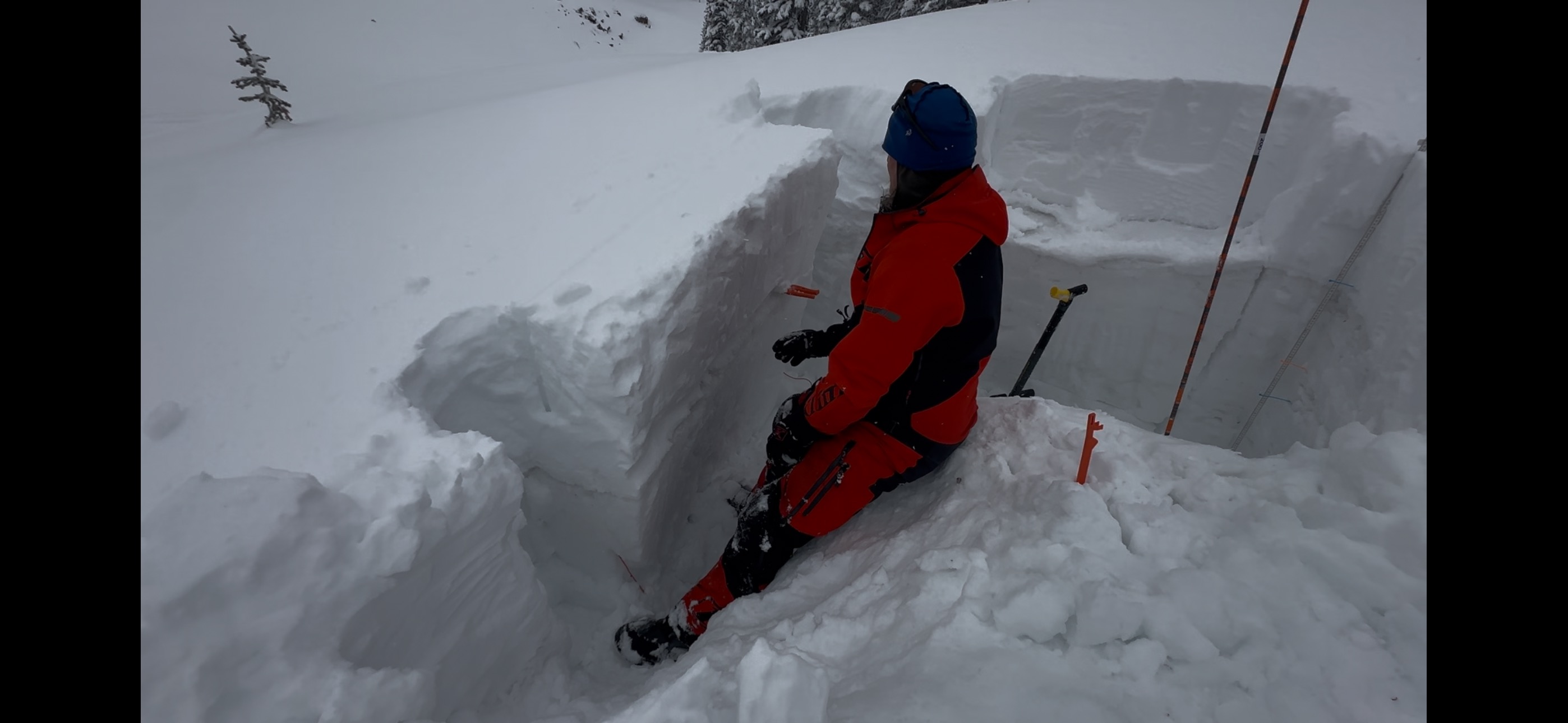
After our recent new snowstorm, we dug a pit on a north aspect around 10,384 feet near North Brush Creek just west of the Quealy warming hut. Snow depth was 165 cm with new storm total of approximately 18 to 20 inches and the slope angle was approximately 25°. Two tests were performed, including an extended column test (ECT) and a propagation saw test (PST) with the following results.: ECTN25 and PST 90/120 END @ 47cm. Both tests revealed some instability that occurred right above a 30 cm ice crust layer that has formed from the previous warm weather patterns and moisture traveling down through the snow pack.