
Quick report
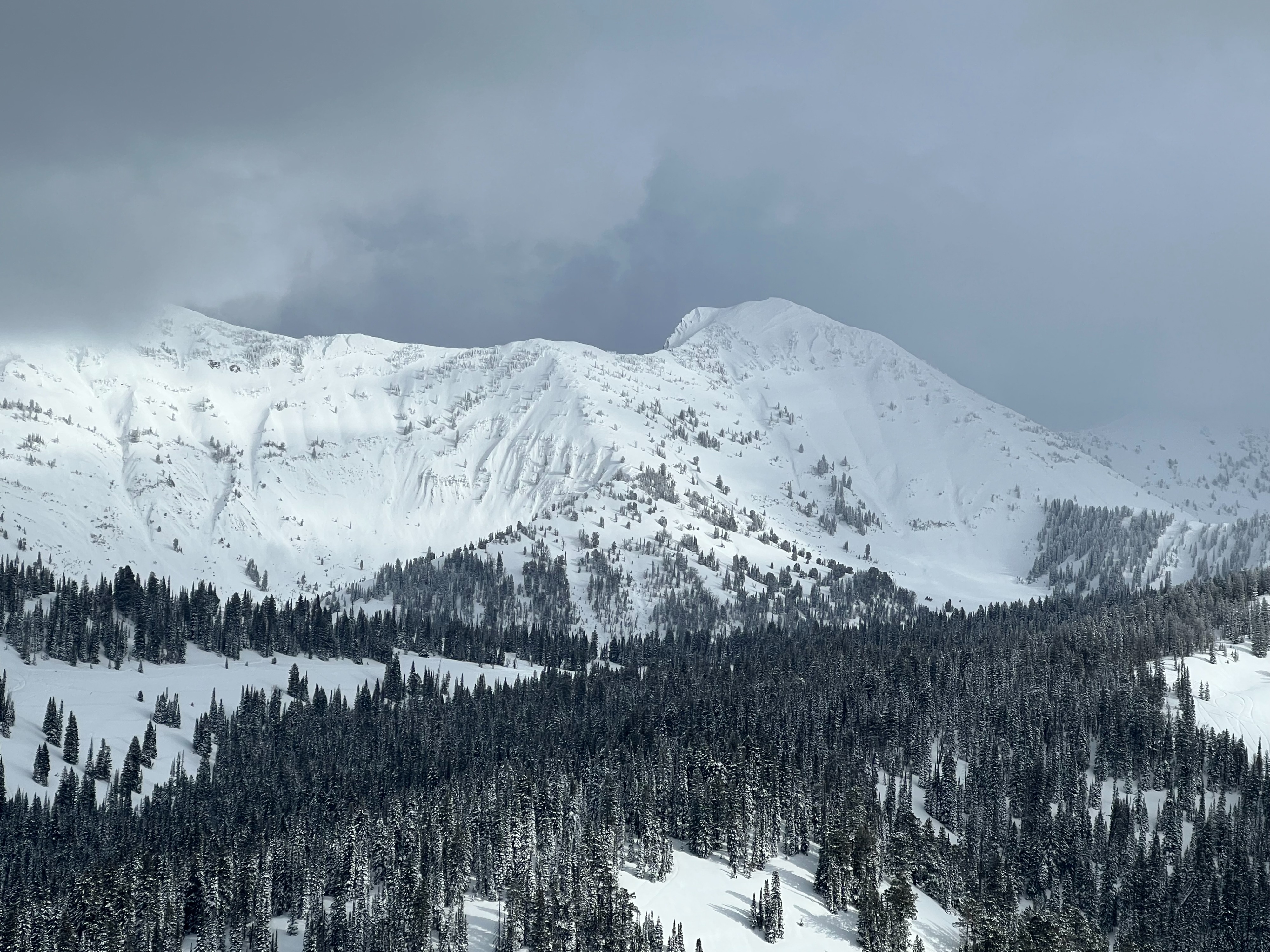
Another deep day this time in the Salt River Range. 20" of recent snow sits above poor interfaces including widespread crust/facet combo on W,S,E aspects and facets on N aspects above 8500'. Recent snow is beginning to set up into a firm slab from warm temperatures. Southerly aspects are the most firm thanks to solar influence. Found propagation on south aspects but not north (lacked the firm slab). Not much wind affect up to 9000'. Visible wind affect seen up in the high peaks. Cool temperatures with high cloud cover most of the day. No recent avalanche activity, cracking or collapsing. Keep an eye on any increased winds as there is plenty of snow available for transport to form wind slabs.
Snowpack
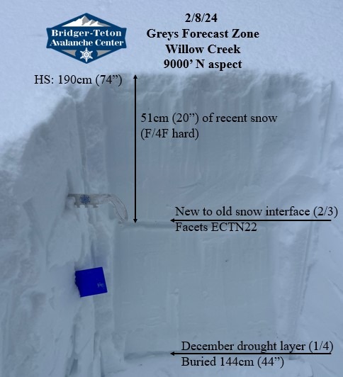
Dug three snow pits to check how the new snow is bonding to old interfaces.
Dug two pits on North aspects in seperate drainages to check how new snow is bonding to weak, sugary facets. No propagation in both 8800' or 9000' pits (ECTN22 down 50cm on facets). Also found a group of snowmobilers that had the same results on north aspect.
SSW aspect 8700 ECTP23 (propagation) down 55cm (~2ft) on facets above a stout crust. Recent snow had set up into a more cohesive slab due to solar heating from recent clear skies.