
Quick report
- Cracking
- isolated
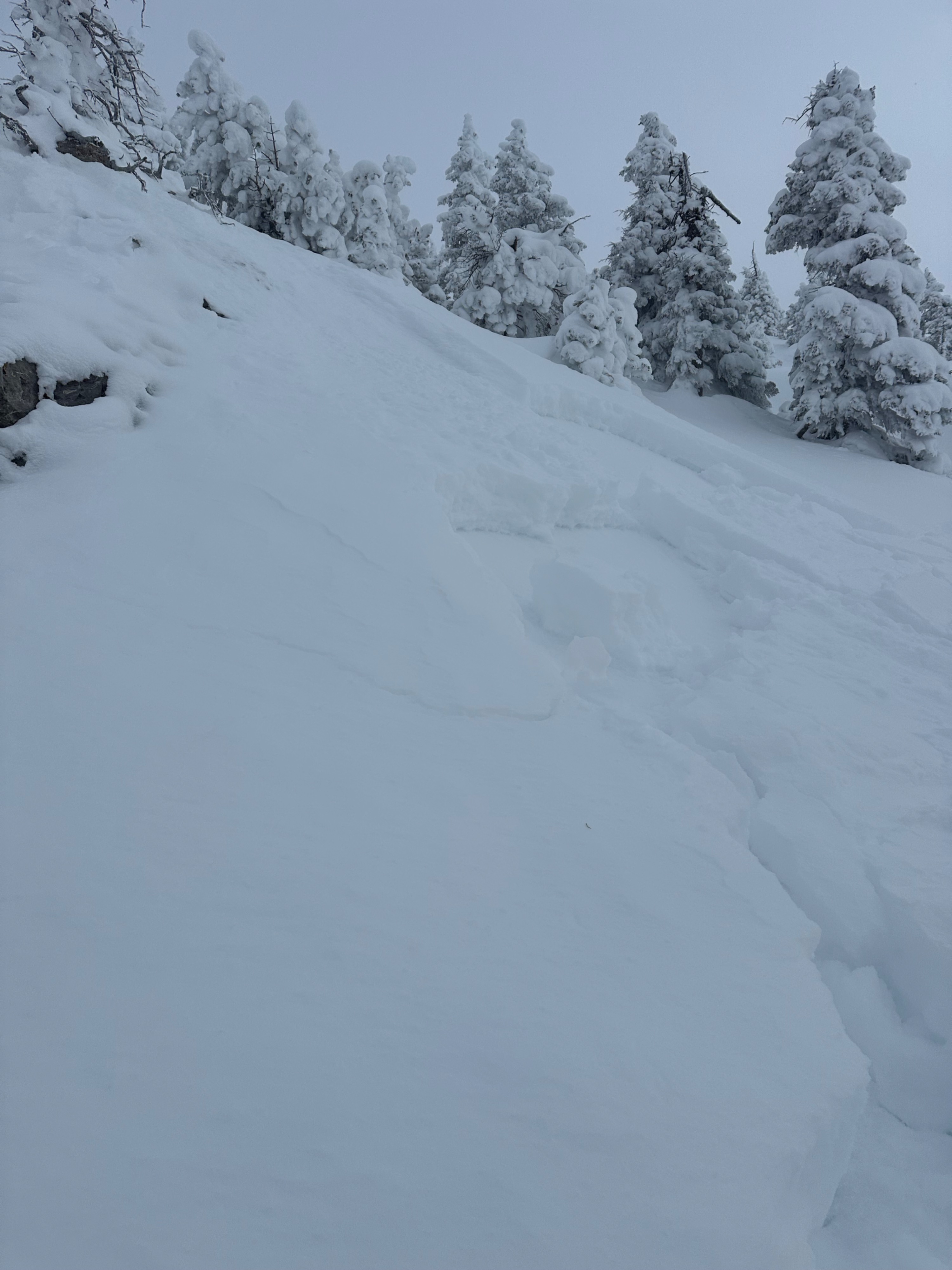
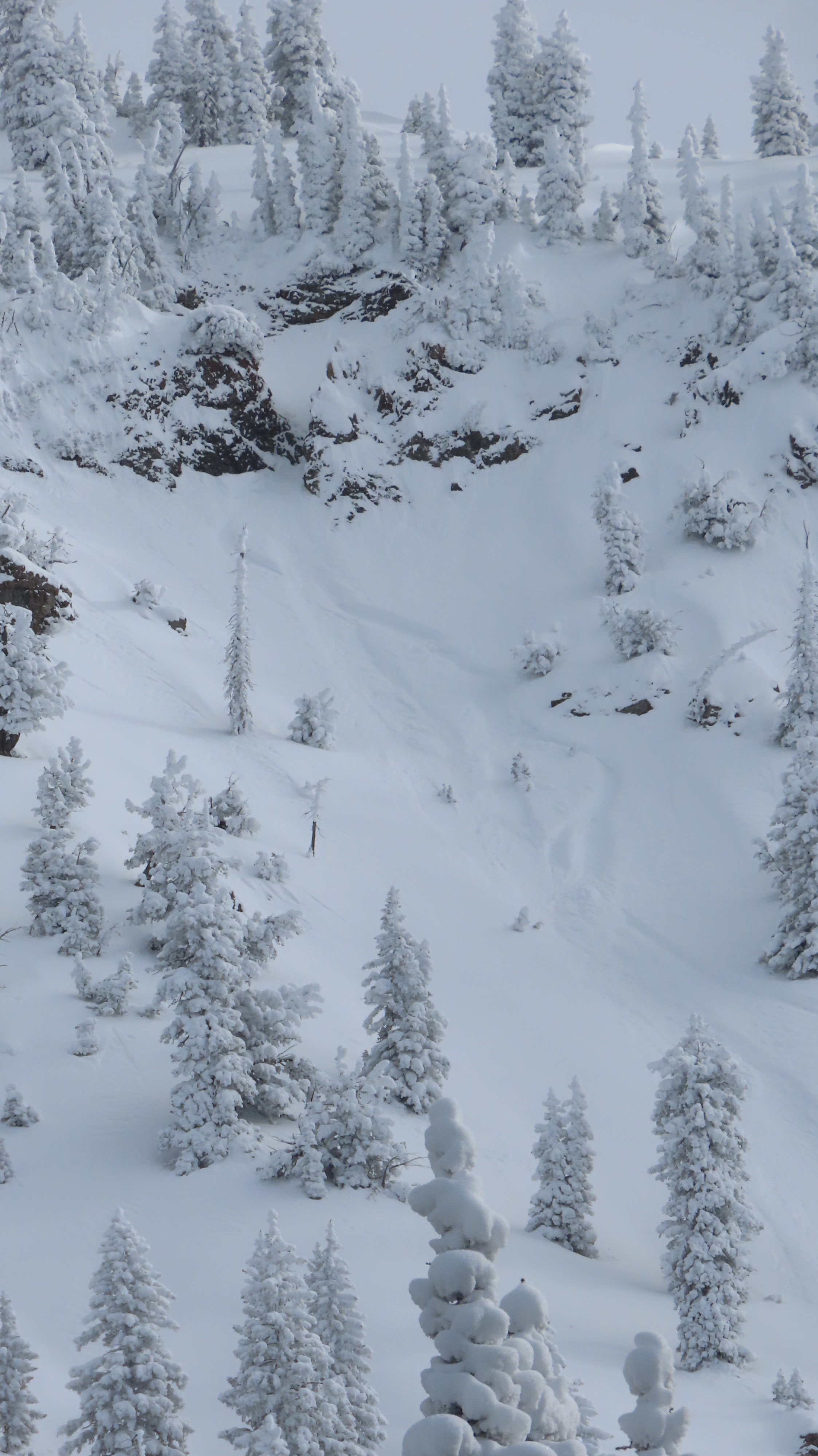
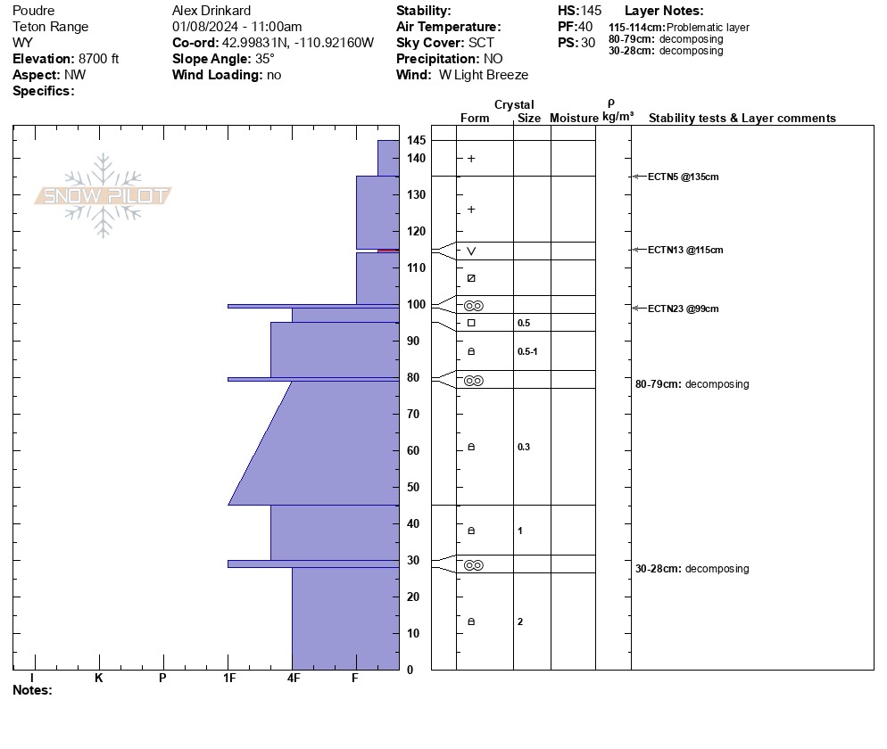
On average, we noted 50+ cm of snowfall (~1.5 feet) above 8,700 feet. This snowfall accumulated over several days and has just started to get worked by increasing winds. Upon departing in the afternoon, the snow was beginning to change and develop slab character, cracking and behaving cohesively. We observed widespread surface hoar buried (Jan 4) beneath the new snowfall. It did not propagate in our snowpit, but today's snow was not cohesive enough for widespread collapsing and instability yet. I suspect this will change and produce increasingly sensitive conditions overnight and into tomorrow, particularly moving into Wednesday. Hazard is increasing, and plenty of snow is available for transport (with more on the way) to be crafted into thick slabs on a widespread weak layer. Surface hoar is particularly nasty, capable of remote triggering, and can produce wide, well-connected avalanches. The snow that sat high and dry throughout December has gone through an extensive weakening process that could behave less predictably. With a large wallop of snow on the way, it is worth noting that the approach to this zone crosses multiple avalanche paths and is fundamentally located in some nasty avalanche terrain.
Deeper weak snow from dry spells in November also did not produce unstable results in our snowpit. In this section of the Greys Zone, we have not observed much feedback on this layer. In our snowpit, it appeared to be healing relatively well, but I would not take step-downs out of the equation with enough of a load of new snow in isolated areas.
Weather
- Air Temp
- 13
- Cloud Cover
- broken
- Wind Loading
- light
- Recent Snowfall
- 30-50
- Snow Avail For Transport
- large amounts
Clear skies departing for cloud cover, increasing W winds, and colder temps later in the day