
Quick report
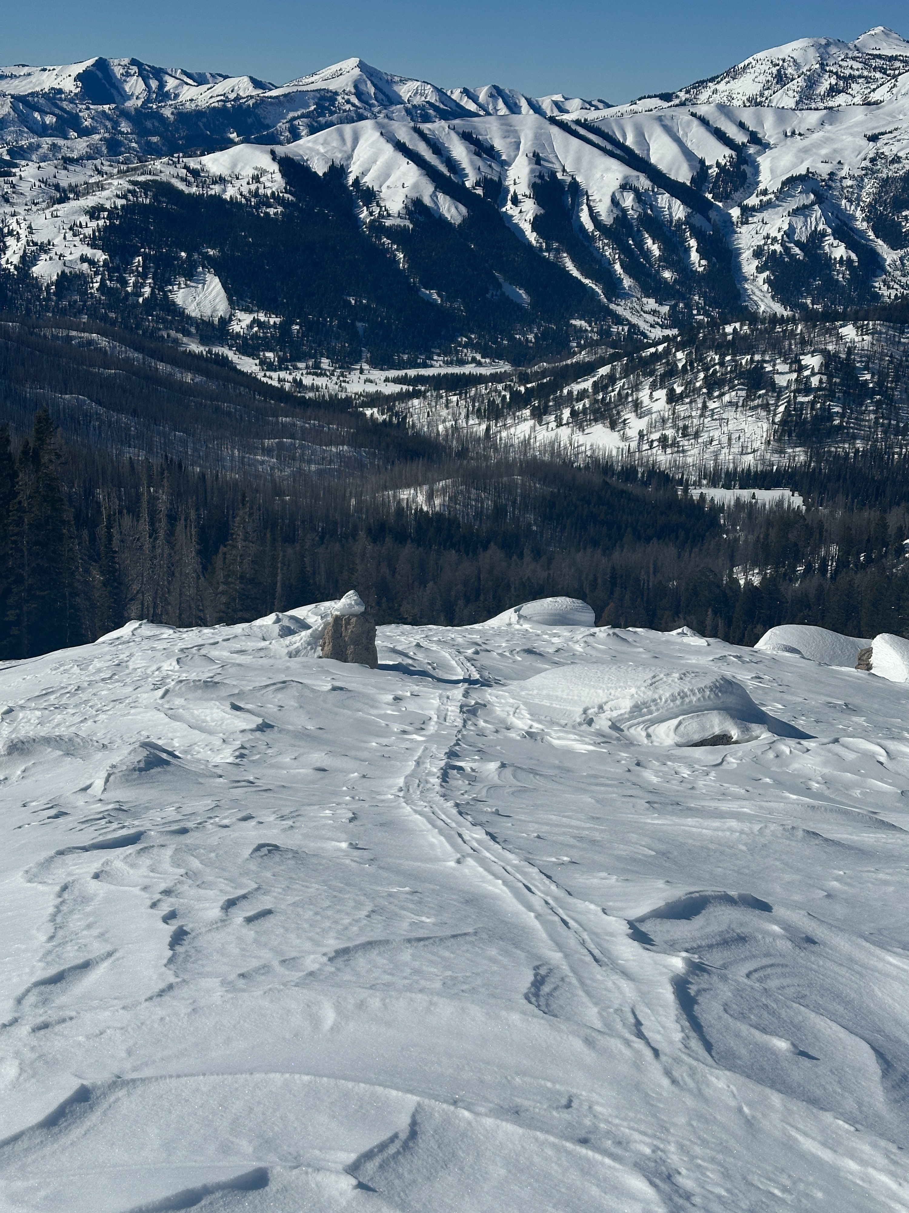
We traveled into the southern Gros Ventre Range to identify the differing snow surfaces and their distribution before the upcoming storm. We observed all aspects of lower, middle, and upper elevations. Lower elevations are largely comprised of faceted snow that has been preserved by recent temperature inversions. At middle elevations, a supportable crust can be found on southern aspects, with southwest slopes holding the thicket crust. These crusts have a layer of faceted snow beneath them ~5 - 8 inches thick. East and west aspects also harbor thin crusts, and occasional patches of wind-board on exposed terrain while northern aspects are comprised of faceted snow. In upper elevations, the distribution of crusts is similar to middle elevations on southern and eastern aspects, while stiff wind boards up to 6 inches thick lie on western slopes. Light-faceted snow remained in sheltered northern terrain in upper elevations. Snow on exposed northern terrain has been significantly wind-affected, creating a very dense wind board. Snow depths averaged 1 meter (3 feet) at middle and upper elevations while lower elevations were significantly shallower.
Weather
- Cloud Cover
- clear
- Wind Loading
- previous
- Snow Avail For Transport
- small smounts
-8 degrees F at the Granite Creek parking lot at 9:30 am. Inversion was most notable at middle elevations, with high 20s and low 30s temperatures. Upper elevation temperatures remained below 32 degrees F—light wind out of the NE at upper elevations.
Avalanche
- Size
- D2 R2
- Aspect
- NW
- Trigger
- N
- Elevation
- 10400 ft
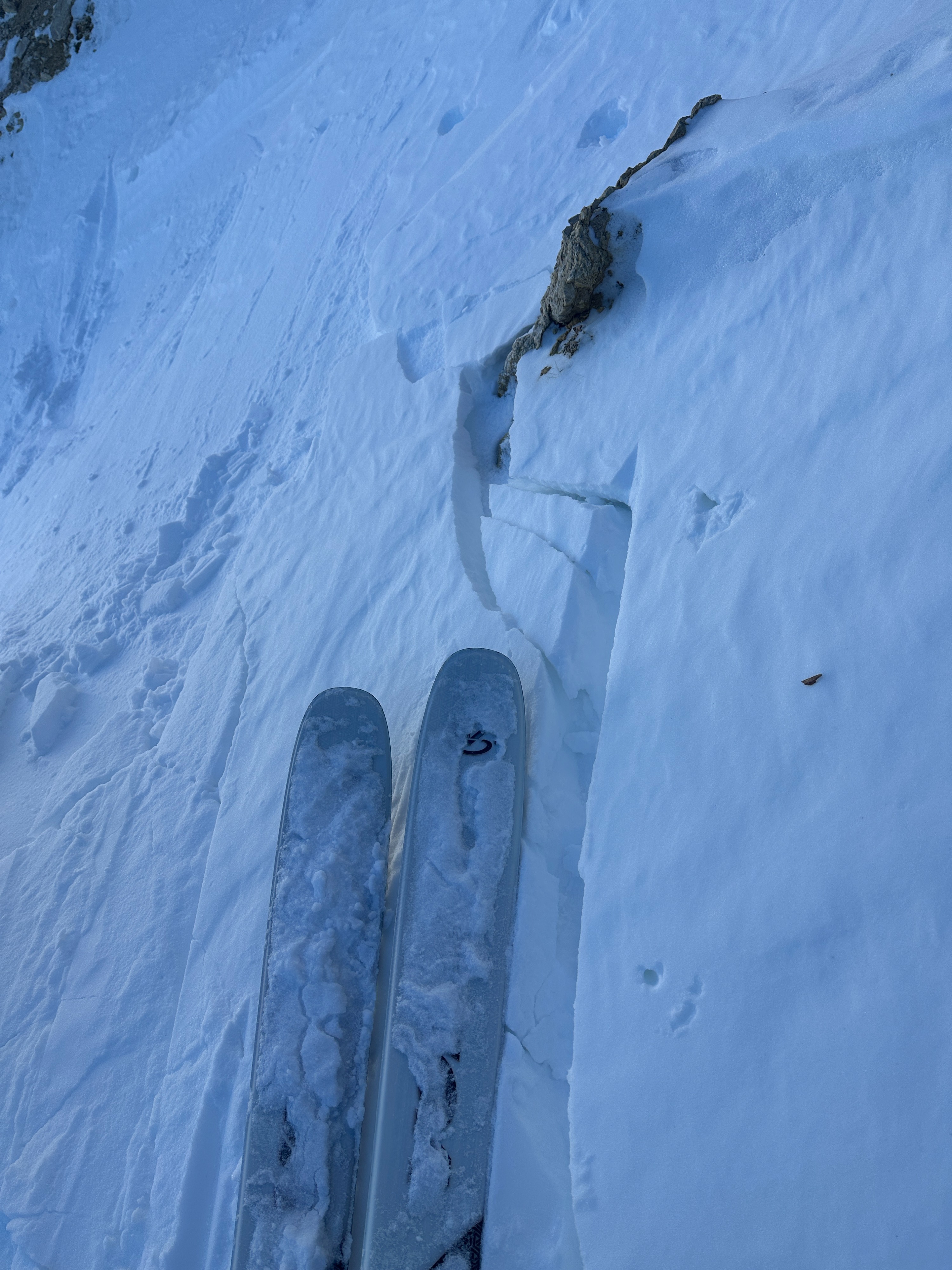
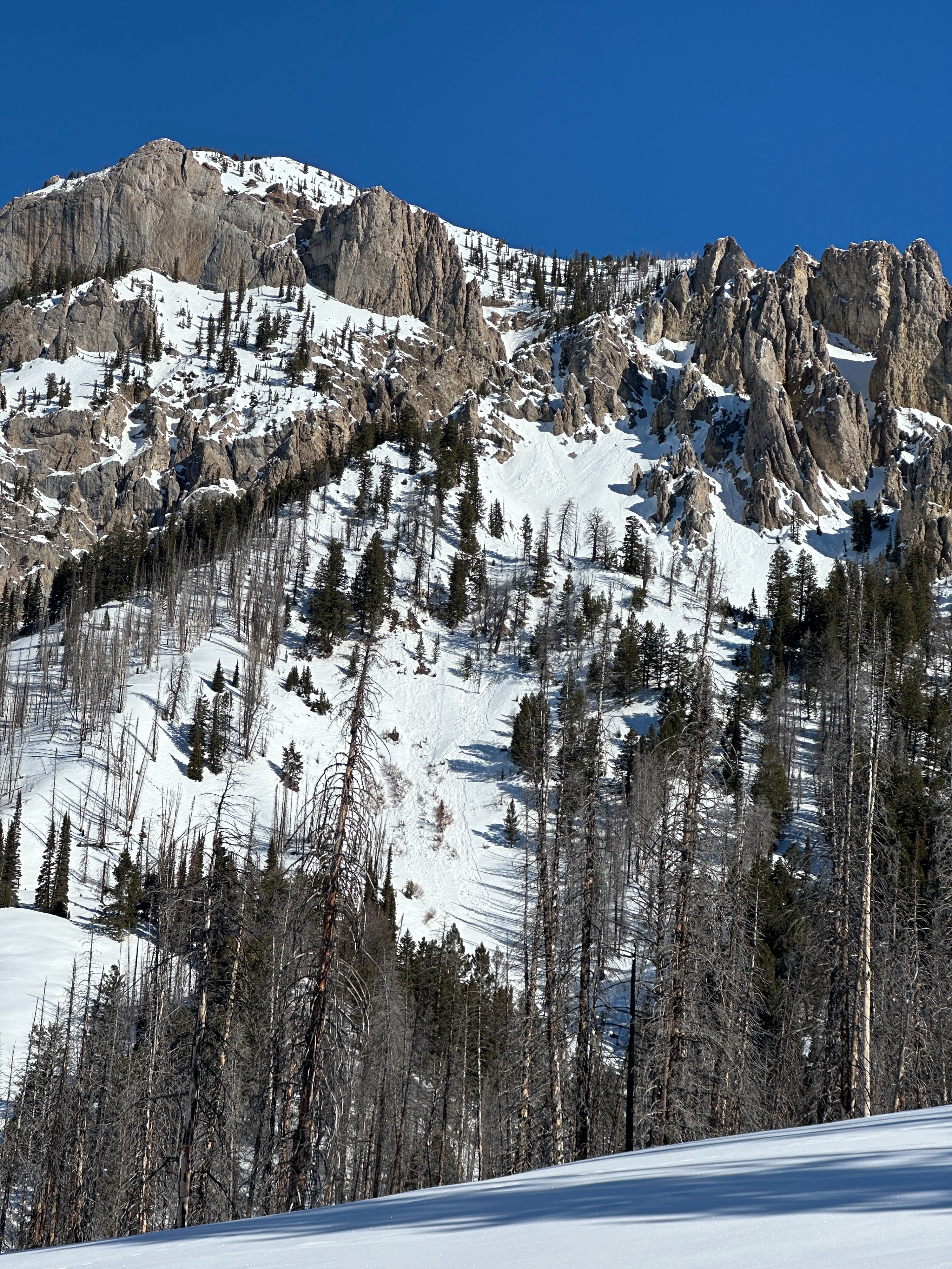
There are limited signs of avalanches in the backcountry. We observed one recent avalanche on a northwest-facing slope off the Flying Buttress at 10,400' that was likely triggered within the last week. This was an isolated avalanche that occurred on very steep, rocky, wind-scoured terrain. While an unlikely scenario, this event does serve as a reminder that the persistent weak layer, formed earlier this season, is still present, and can be impacted in areas where the snowpack is especially thin. South slopes at middle elevations were experiencing signs of warming, including very small wet loose avalanches, and roller balling.