
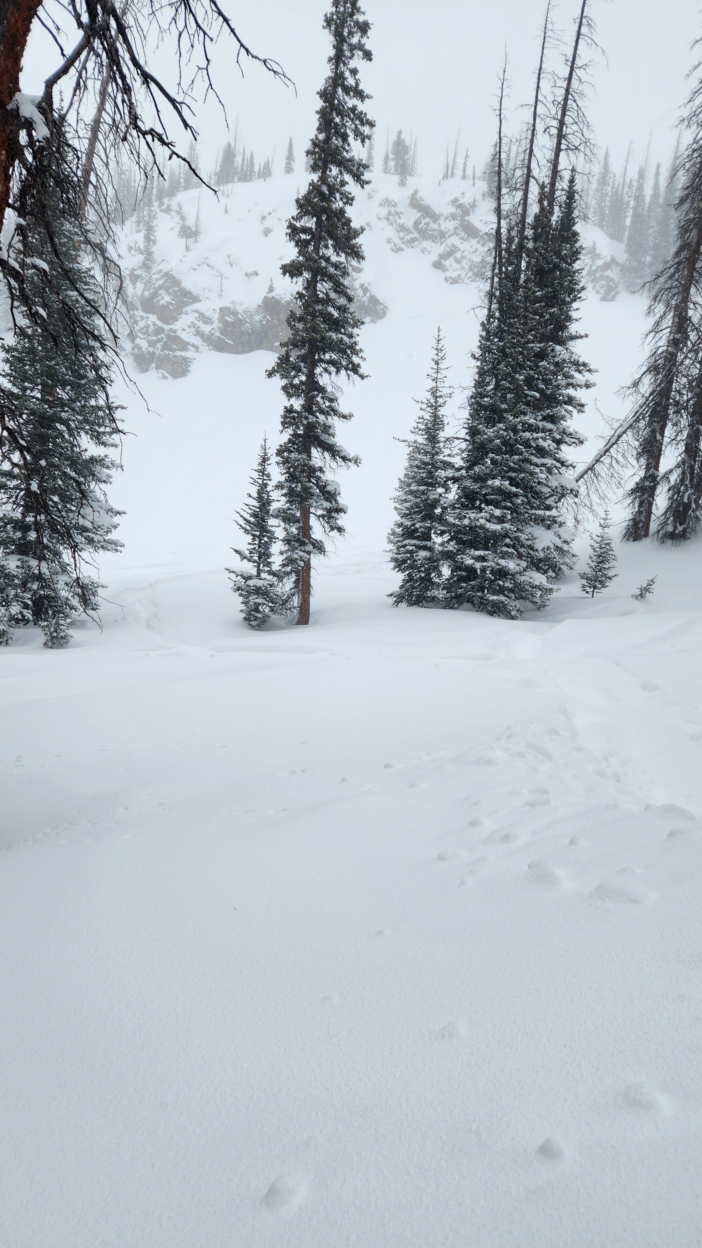
Quick report
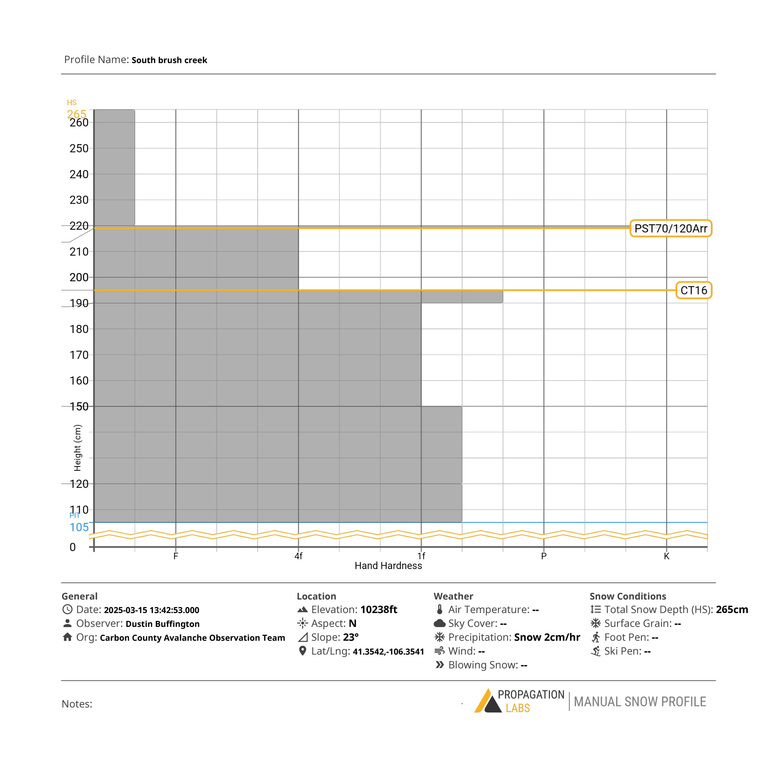
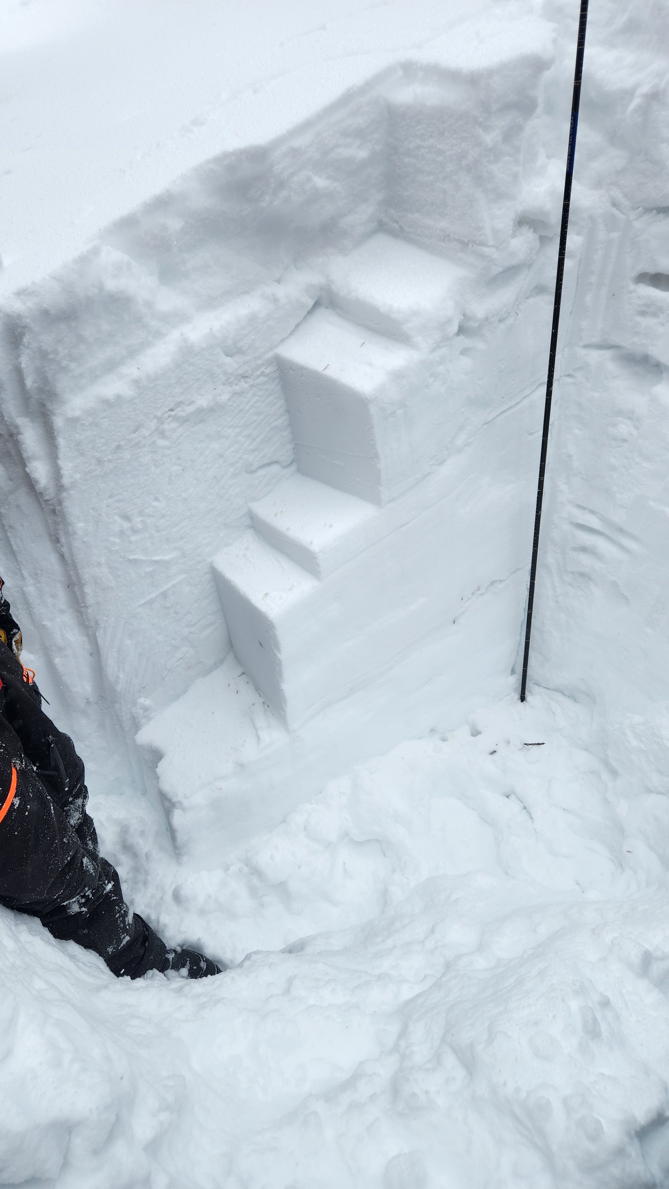
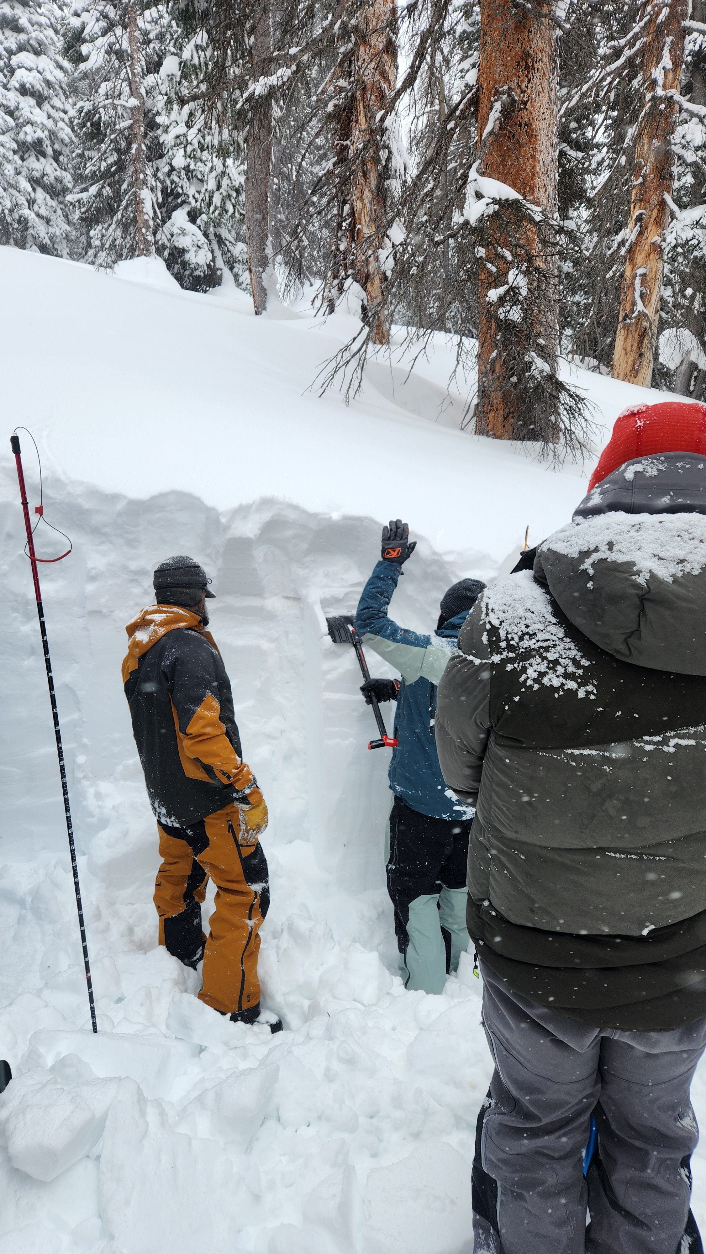
While assessing the snow, we observed about 18" of fresh snow atop a sun crust from the previous warming cycle. As this snow settles we expect to see a few storm slab avalanches. Also be cautious of wind loaded slopes in the coming days. The Persistent weak layer still resides deep in the snowpack and still could potentially be triggered in thin areas of the snowpack. Stability tests results were PST70/120 Arr@45cm down and CT16@100cm down 18" of fresh snow and areas of wind loading.
Weather
- Air Temp
- 10
- Cloud Cover
- overcast
- Wind Loading
- moderate
- Recent Snowfall
- 40cm
- Snow Avail For Transport
- large amounts
Snowpack
The snowpack has about 18" of light fluffy snow sitting on top of and ice crust from the last heat cycle. The snowpack in this area measured 265cm or roughly 9ft. The density ranged from Fist(soft) at the top to 1 finger(dense) towards the bottom.