
Quick report
Rode out to Gunsight Pass to look for signs of instability concerned with warming temperatures. Little to no wet loose activity observed, even on steep southerly aspects around rock features in middle and upper elevations. Solid refreeze last night. Snow surfaces were warming by 11:00 and noticeably increasing by 13:00. Widepsread crusts on southerly aspects. Saw some near-surface faceting on northerly aspects. Cool W breeze throughout the day. Hero snow conditions that could hold an edge as surfaces warmed throughout the day. Water was not penetrating very deep into the snowpack, reducing the likelihood of wet avalanche activity. Monitor warming tomorrow to see if conditions change. Wet snow with easy boot penetration is a clear indication.
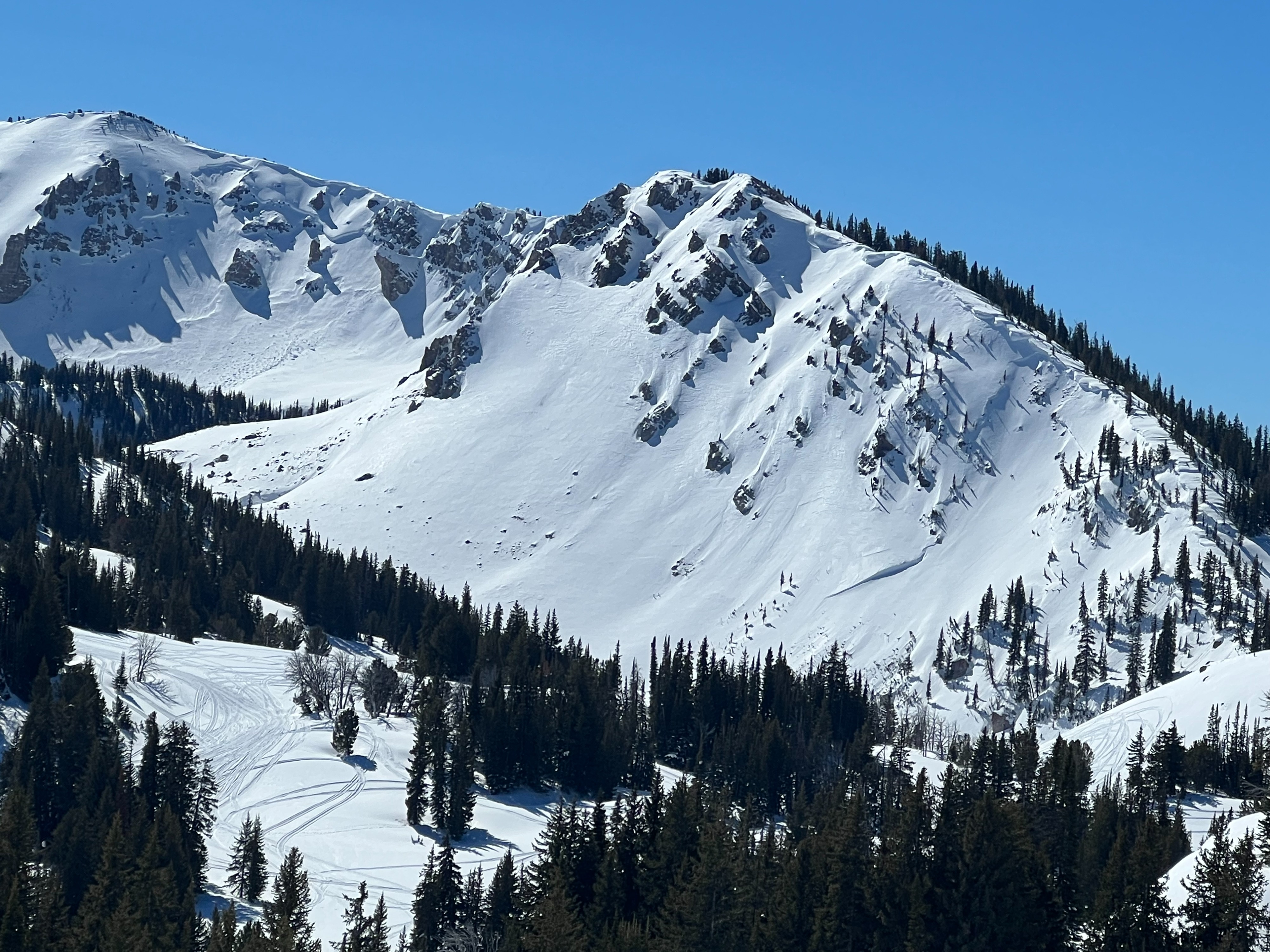
Observed old avalanches from the early March cycle that failed on the Jan 4th weak layer. These avalanches were all on the same aspect above 10,000'. Other similiar characteristics included steep, rocky, wind loaded, and below cornices. These avalanches were likely natural and failed as a result of surface snow avalanches (wind slabs) or cornice falls.
Snowpack
Dug a crown profile of one of the old avalanches. The slope that avalanches had a shallow snowpack (~200cm) with 3mm facets and depth hoar buried Jan 4th. Probed on a very similar slope adjacent to the avalanche and found a deeper snowpack of 300cm. The shallow part of the slope is what avalanched, which highlights what we are talking about in the Deep Persistent Slab problem in our forecasts. Use extra caution on steep, rocky, shallow and wind affected slopes. A large loading event or cornice failure will likely be necessary to wake those persistent weak layers back up.
Avalanche
- Size
- D2 R2
- Type
- HS
- Count
- 2
- Aspect
- NE
- Trigger
- N
- Elevation
- 10300 ft