
Quick report
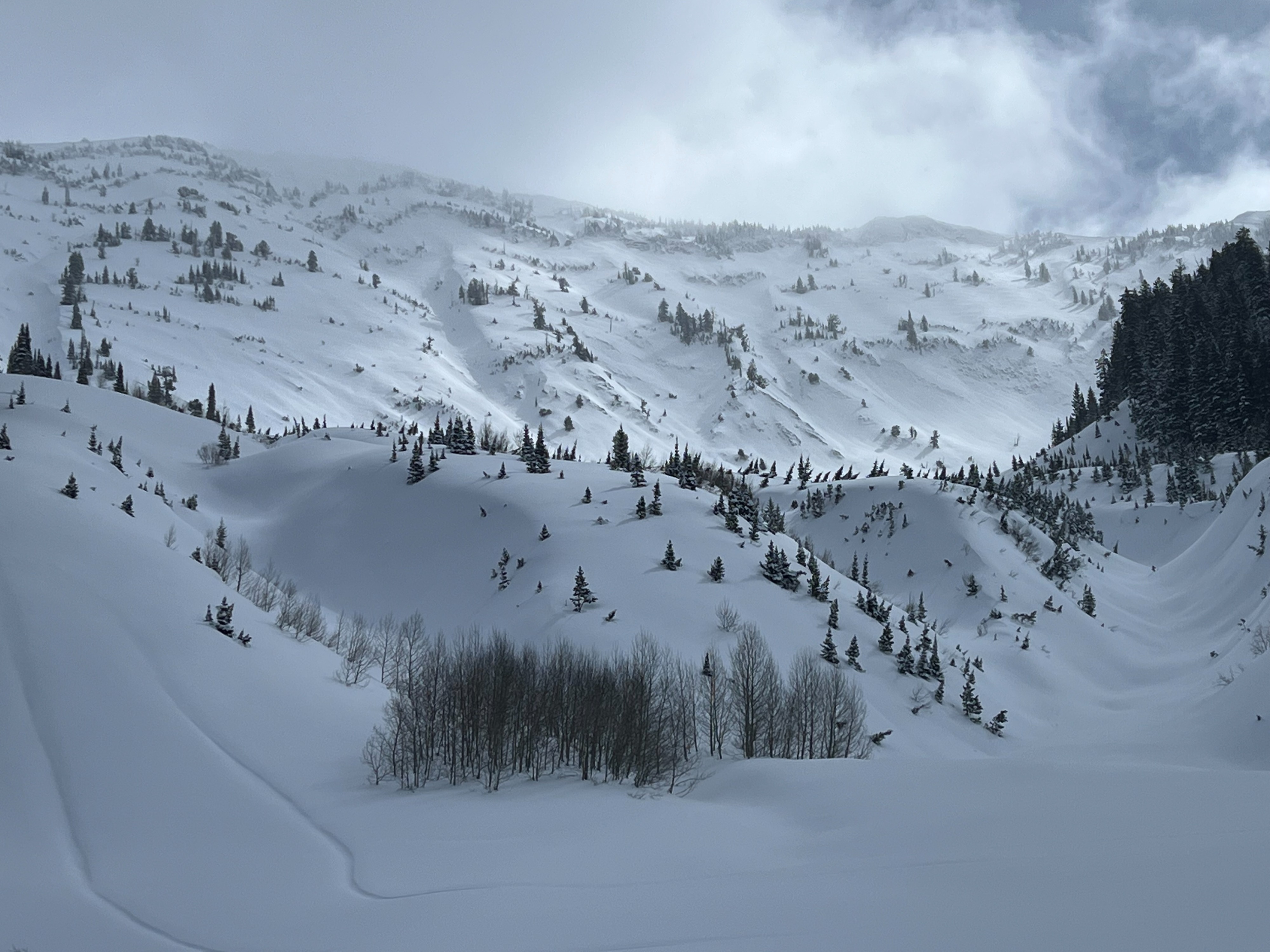
Significantly less reactive than yesterday. Rode down to Willow Creek which always seems to get favorable snowfall to track the March 20th interface. Found propagation on that layer at 8600' on a W aspect. 55cm of new snow at that location. New snow is becoming fairly dense, with difficult travel above 9000' with over 3 feet of dense snow. Cloud cover was less than forecasted with periods of strong solar influence. Probably not enough to create a crust, but certainly enough to moisten surfaces. Natural activity observed that failed mid storm, but nothing recent. Lots of wind affect observed from a distance in upper elevations in exposed terrain with visible ripples, scouring and loading. Mild winds with no visible snow transport during the day.
Snowpack
Tracked the March 20th interface. Pretty widespread crust below that new snow that is the main concern on W, E and S aspects exposed to the sun.
8600' W aspect HS: 300cm ECTP21 down 55cm above the March 20th interface composed of near surface facets above a stout 1-2cm thick crust.