
Quick report
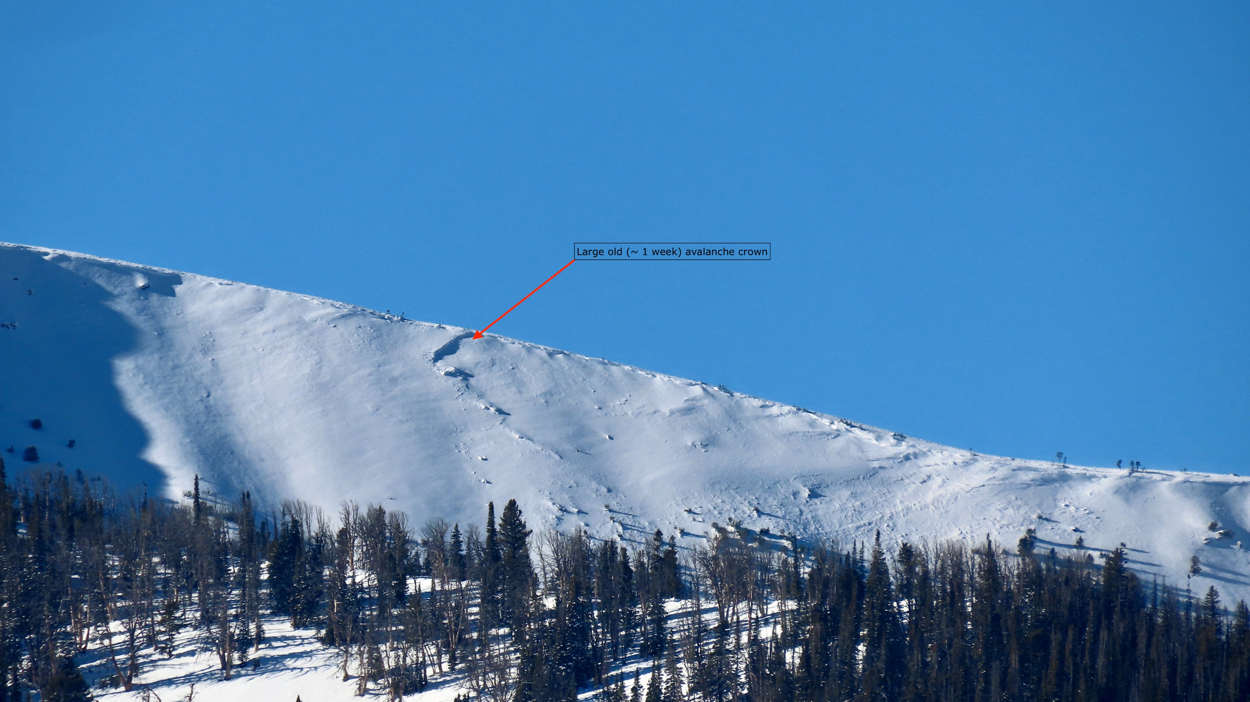
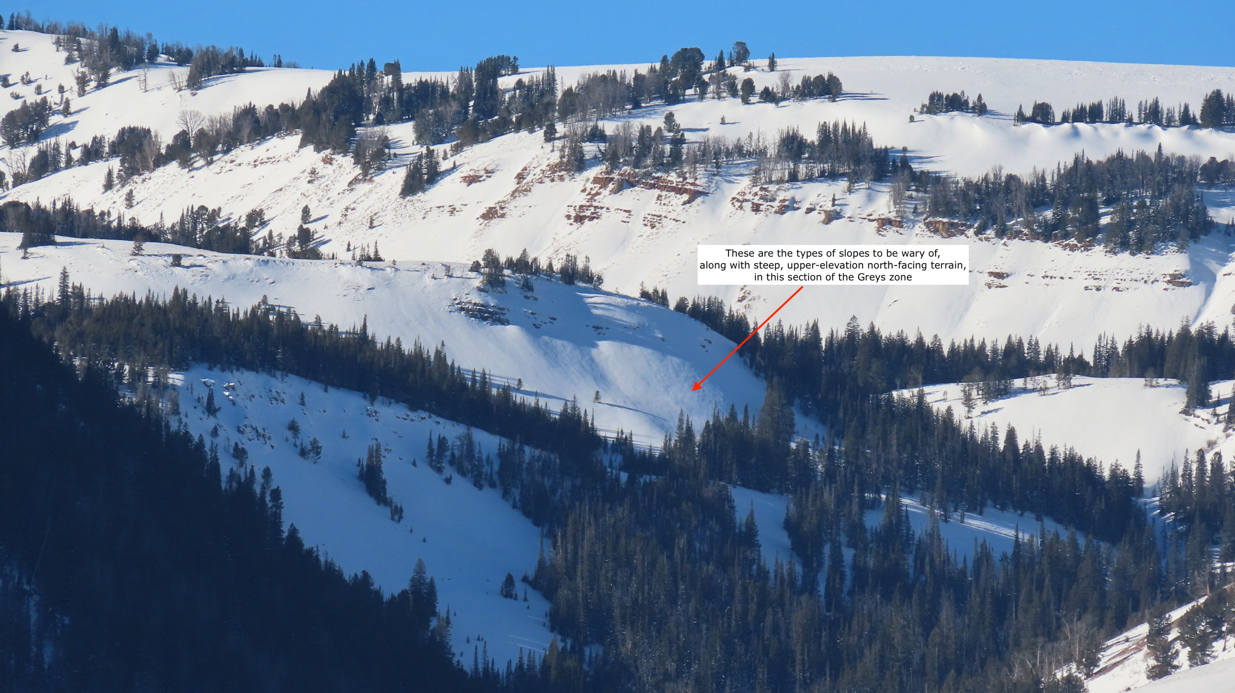
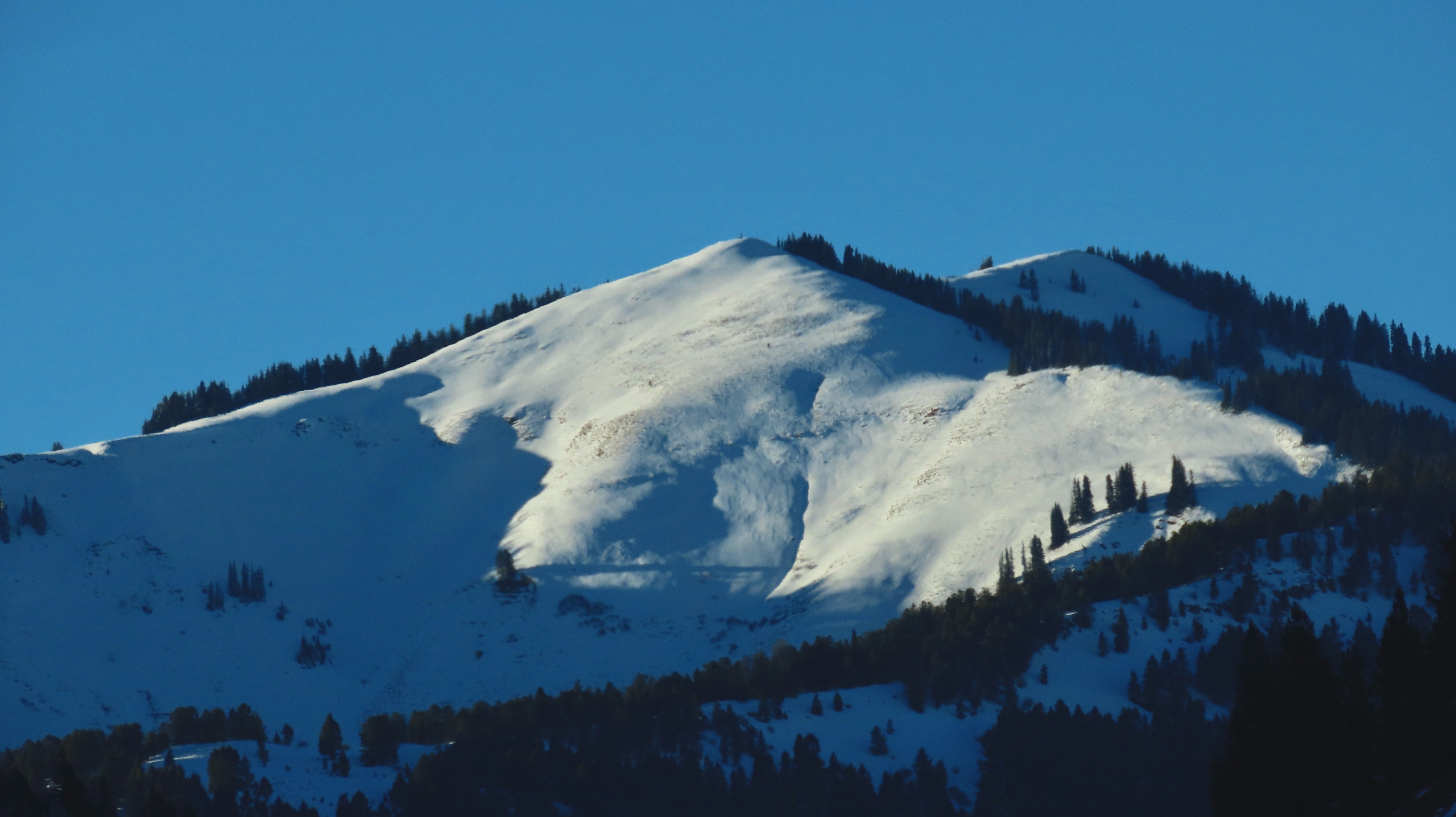
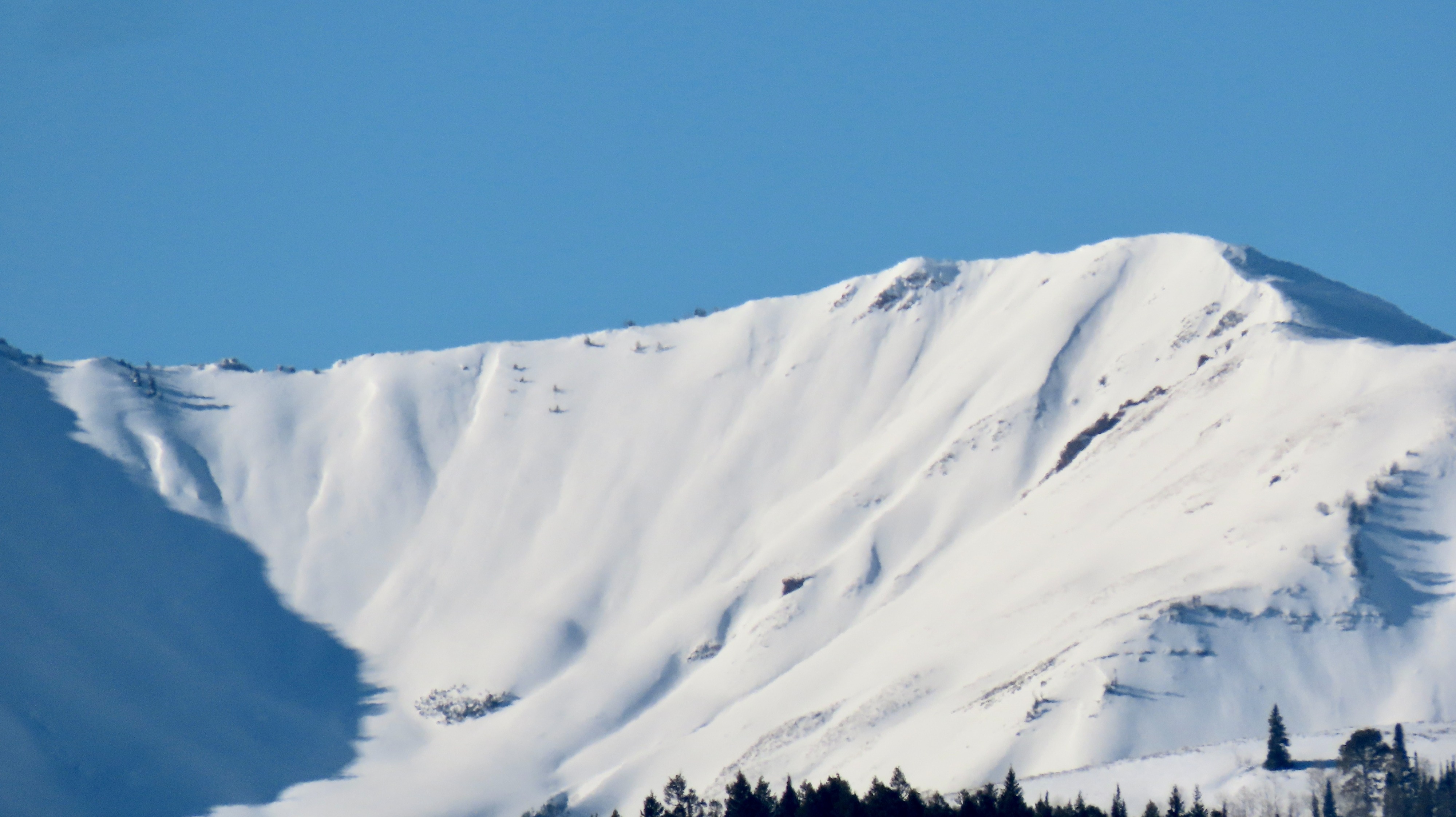
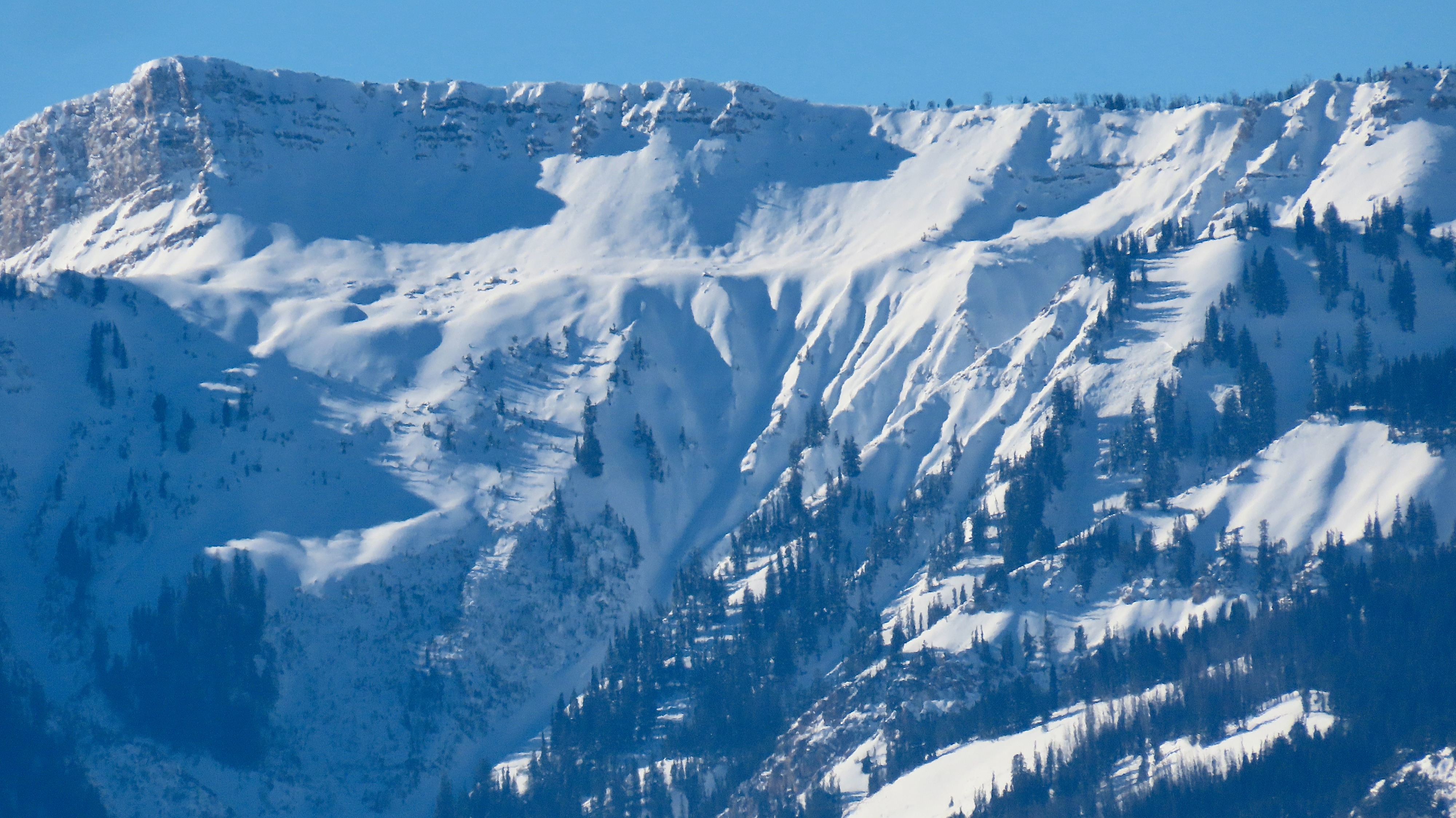
The upper Hoback holds a deeper snowpack than further south on the eastern side of the Wyoming Range but less than the Salts and west side of the Wyoming (Smith Fork) area of the Greys zone, which makes sense based on how most storms track. At least four different snowpacks are evolving in the Greys, par for the course. N aspects in the Hoback hold a fair amount (8-10 inches @ 8,000 feet) of moist faceted snow and crusts. Due to much of the snow melting off here from earlier in the season, it seems to have been spared the worst of the November drought and may have less widespread issues. The same holds for the section of the southern Wyoming I ventured into via Middle Piney: Not much snow cover until 9,500' other than on select terrain features (see the photo below). Any steep, north-facing terrain (even small terrain features) should be regarded very carefully or avoided outright. Several older avalanches (ranging from ~1 week old to a few days old) were noted in both areas, up to D2 in size. Extensive surface hoar development everywhere. The weather bodes for creating a similar interface to the November drought layer in the Teton and Greys zones, and both will likely be reactive and span the lower elevations as soon as any new snowfall arrives.
Noted several old crowns at upper elevations in the Hoback and Gros Ventre, probably 48-72 hrs oldWeather
- Cloud Cover
- clear
Heavily inverted