
Quick report
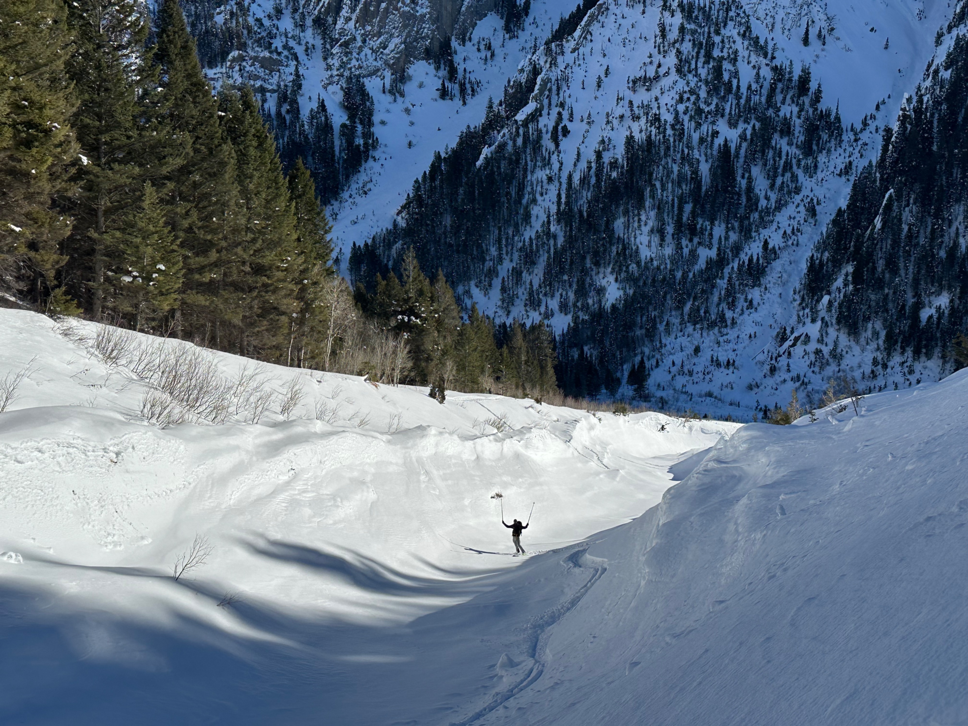
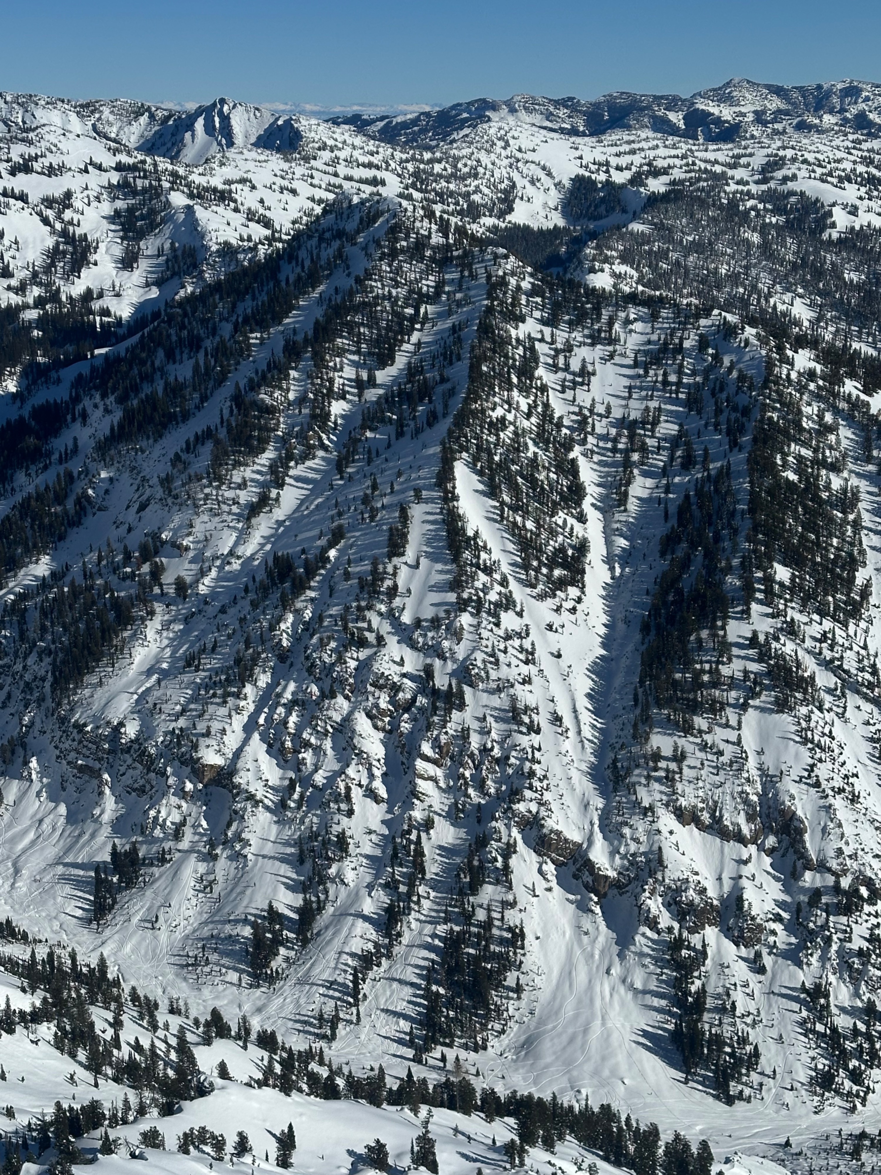
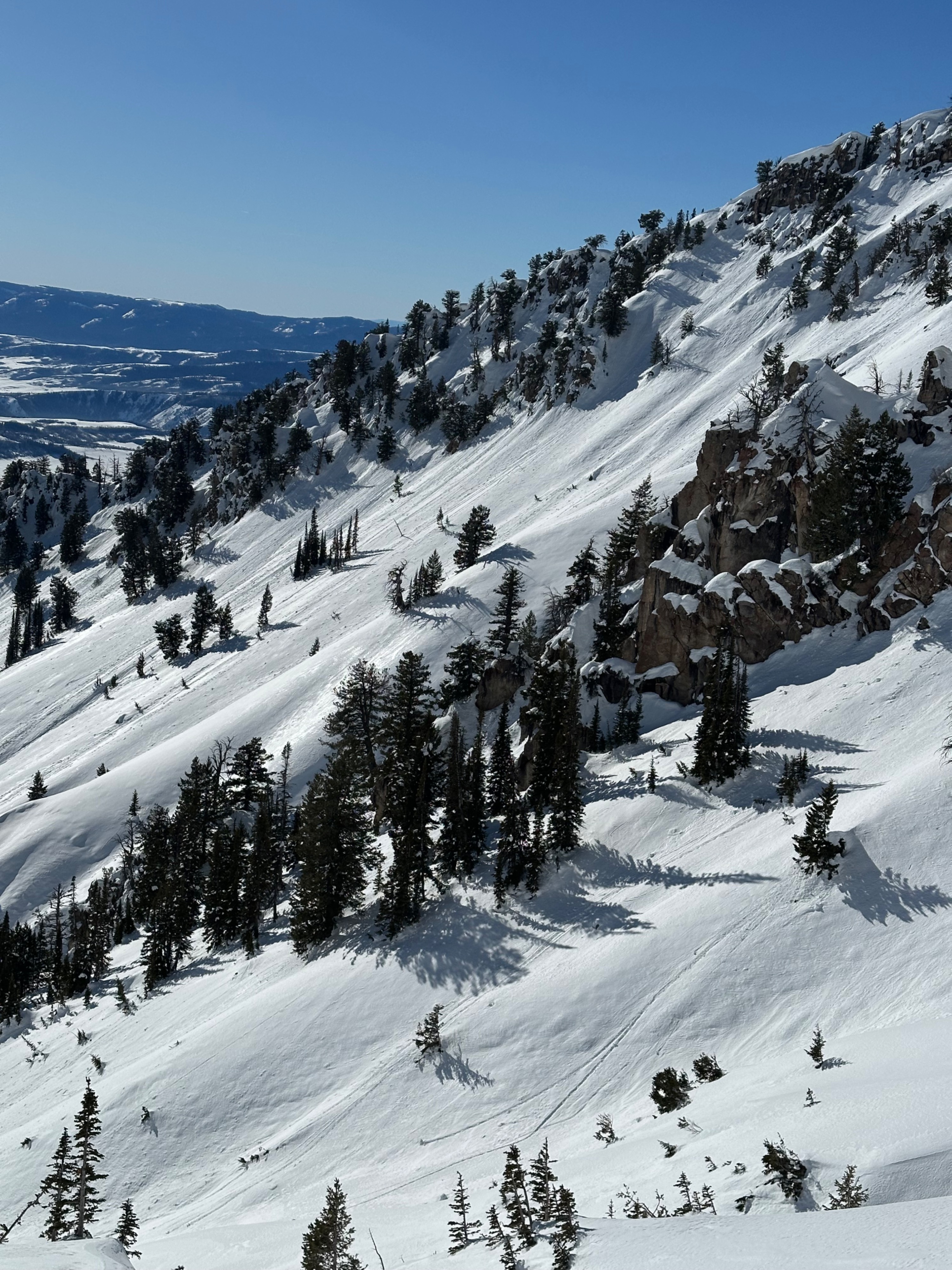
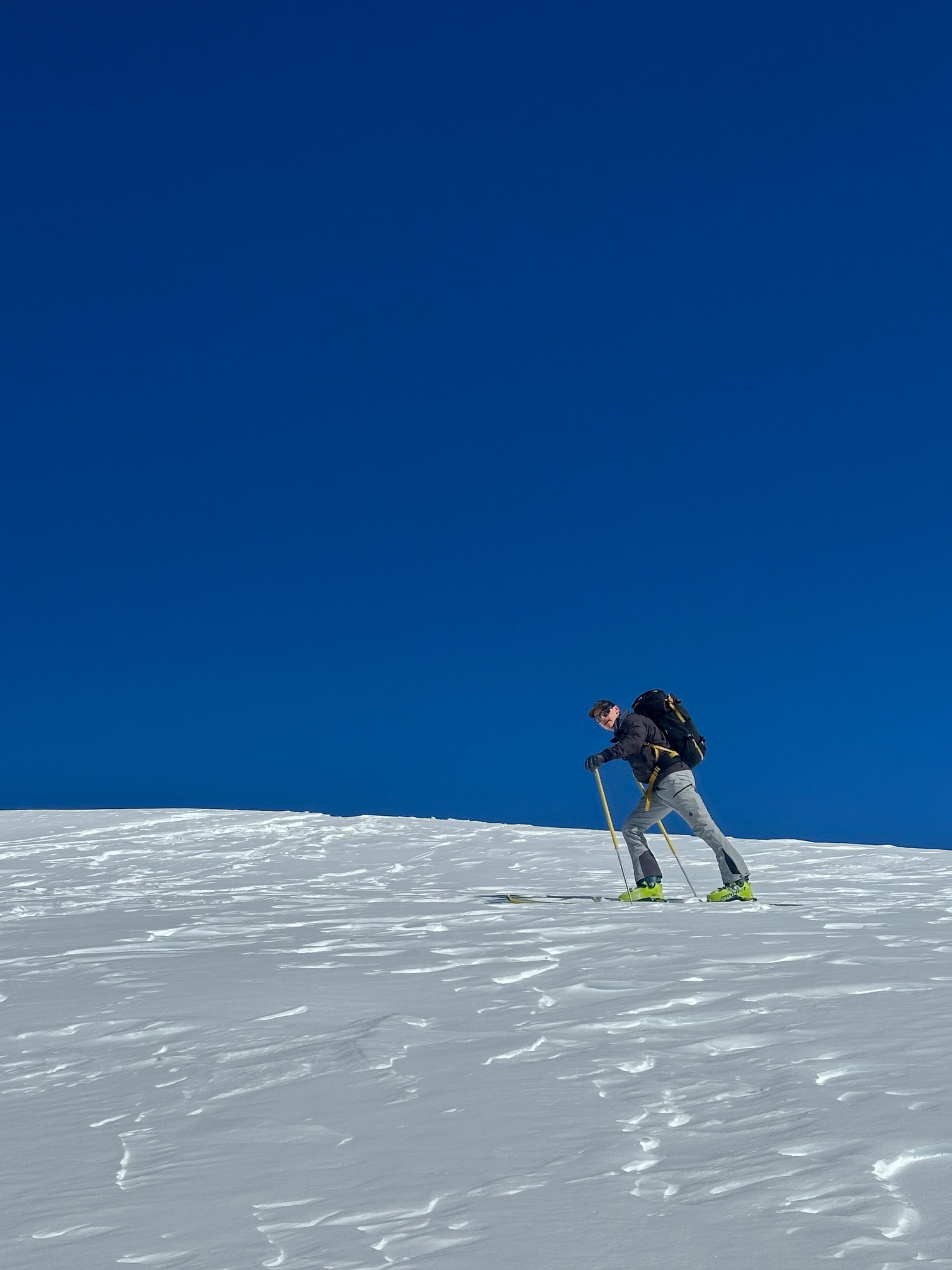
We toured up Haystack to find surprisingly sweaty conditions thanks to the strong inversion and lots of faceted surface snow. Any direct solar slopes above 7,500 feet were experiencing some form of warming, most in the form of recently transported, sifted, and faceted snow resting on a crust around 6-8 inches deep that would run as wet, loose or roller ball with a ski cut. We only experienced some breakable crust on the steep due south sides of the creek gully below 7,500'.
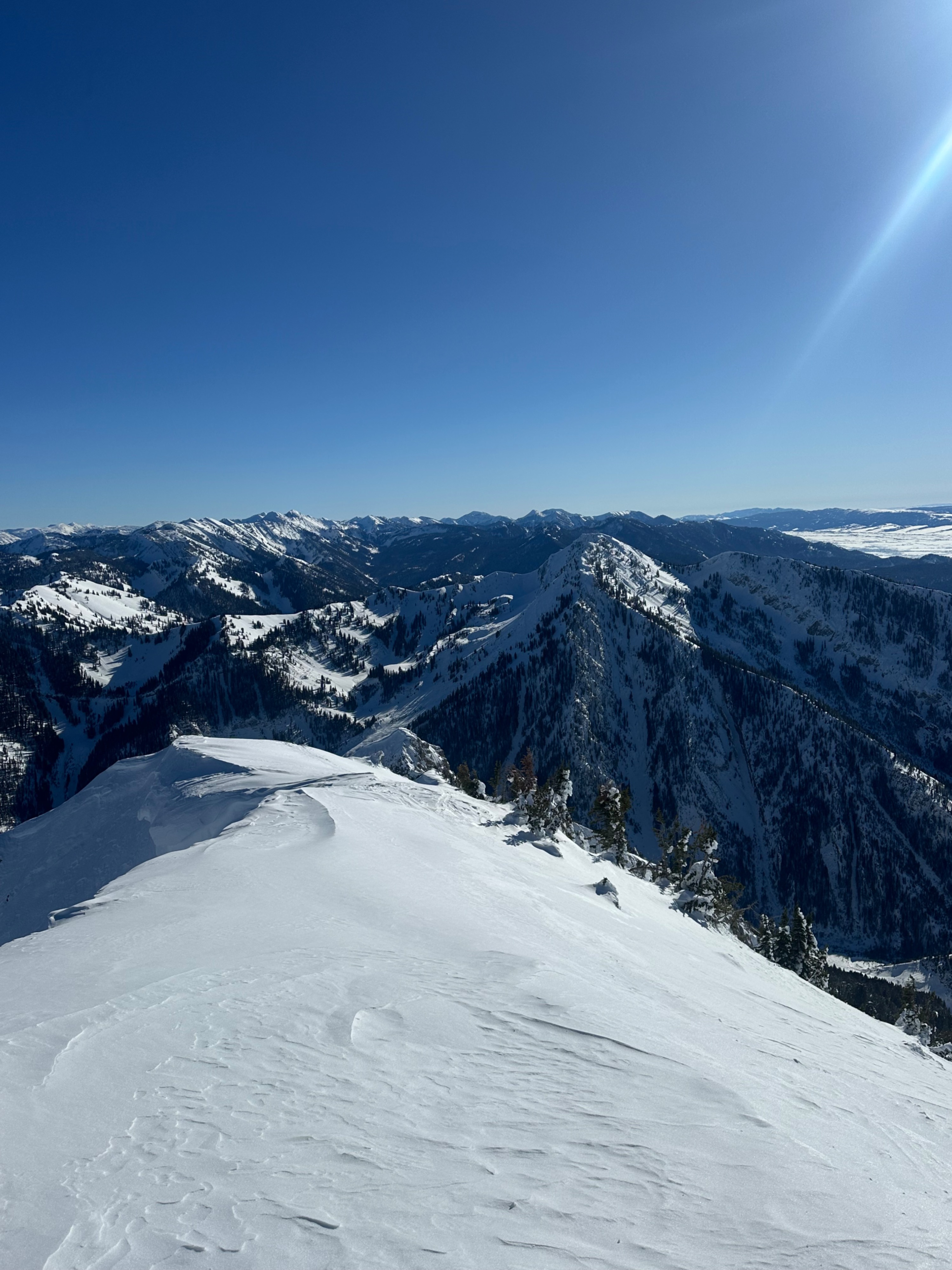
We kept small pockets of wind-blown snow and cornices on our radar as well as patches on due south, rocky slopes that were starting to sluff due to warming (& you should too, with consistent weather holding through Thursday). Weak snow can be felt near the base of the snowpack or found by digging a pit. However, stable weather means the weak layer has gained strength and will yield no results (especially in an extended column test, as it is now too deep to produce accurate results, and a propagation saw test is the appropriate tool). Time will tell with regard to avalanches on deeper layers as we receive a significant load of new snow and bring into the equation the possibility of step-down avalanches on certain aspects.
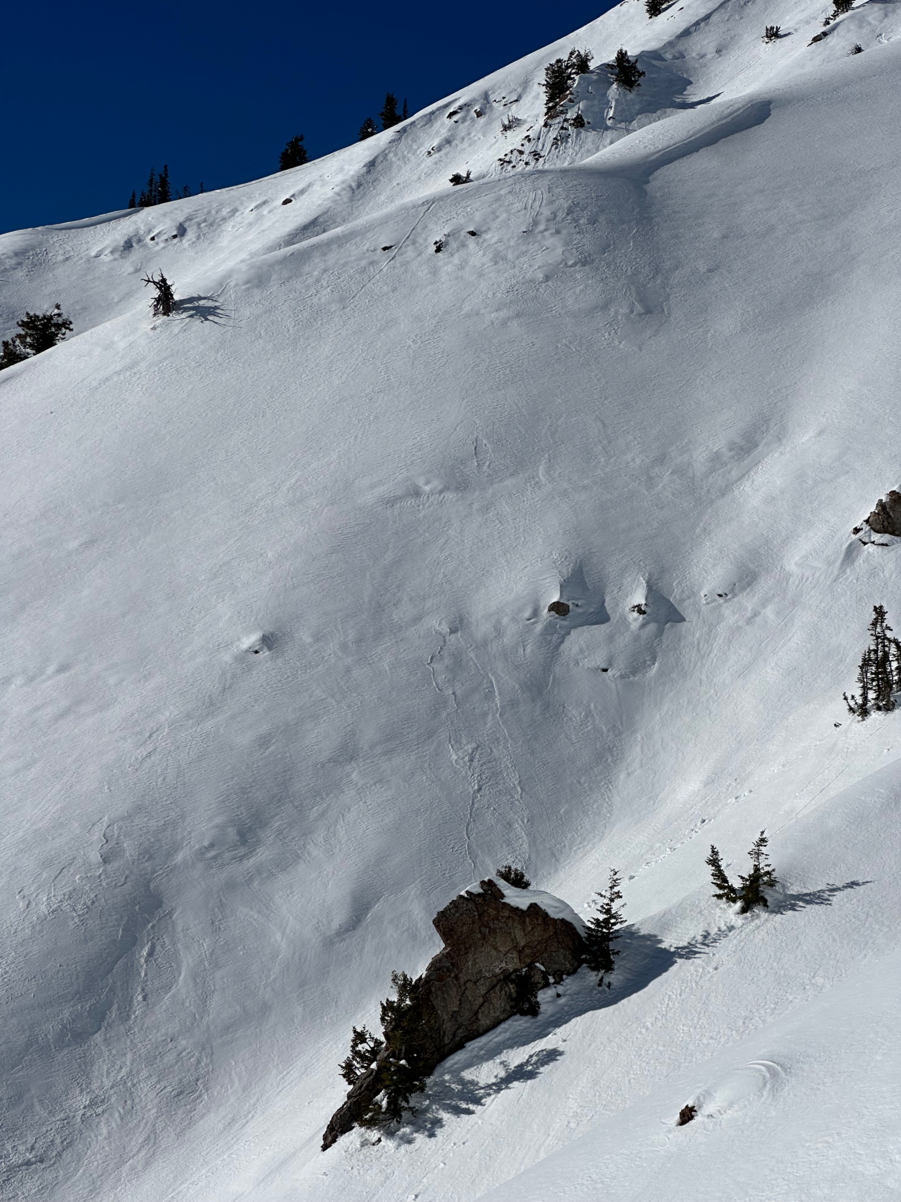
The most interesting thing right now is the foot of snow nearest the surface, as it will produce widespread avalanche activity upon burial. However, predicting what amount of snowfall will tip the scales will be difficult as burial will be incremental and likely occur throughout the day. This implies that there will be a delicate dance between how much snow falls/wind blows and how long it takes to start overloading the weak snow. Overall, there is widespread surface facet development: the north half of the compass holds upwards of one foot of faceted snow. The south half holds about a foot of faceted snow beneath a supportable crust covered with ~4-5 inches of recent/transported snow. We noted one old D3 avalanche that occurred in January, which had gouged a large track down to the canyon floor, crossing the road.
Weather
- Air Temp
- 38
- Cloud Cover
- clear
- Wind Loading
- previous
- Snow Avail For Transport
- none
Clear skies, light northerly winds decreasing by 1PM. Inverted temperatures, well above freezing above 9,000'.