
Quick report
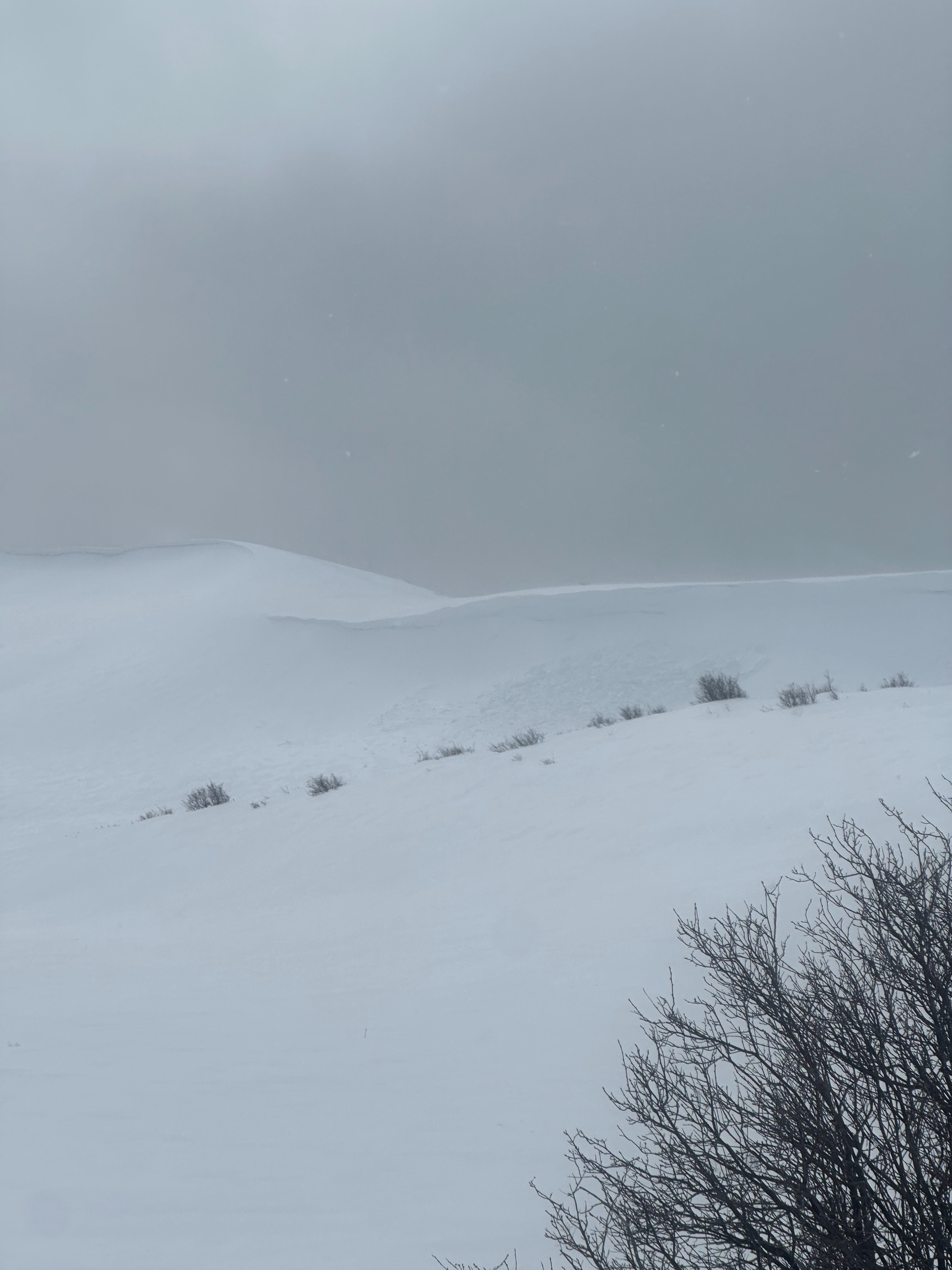
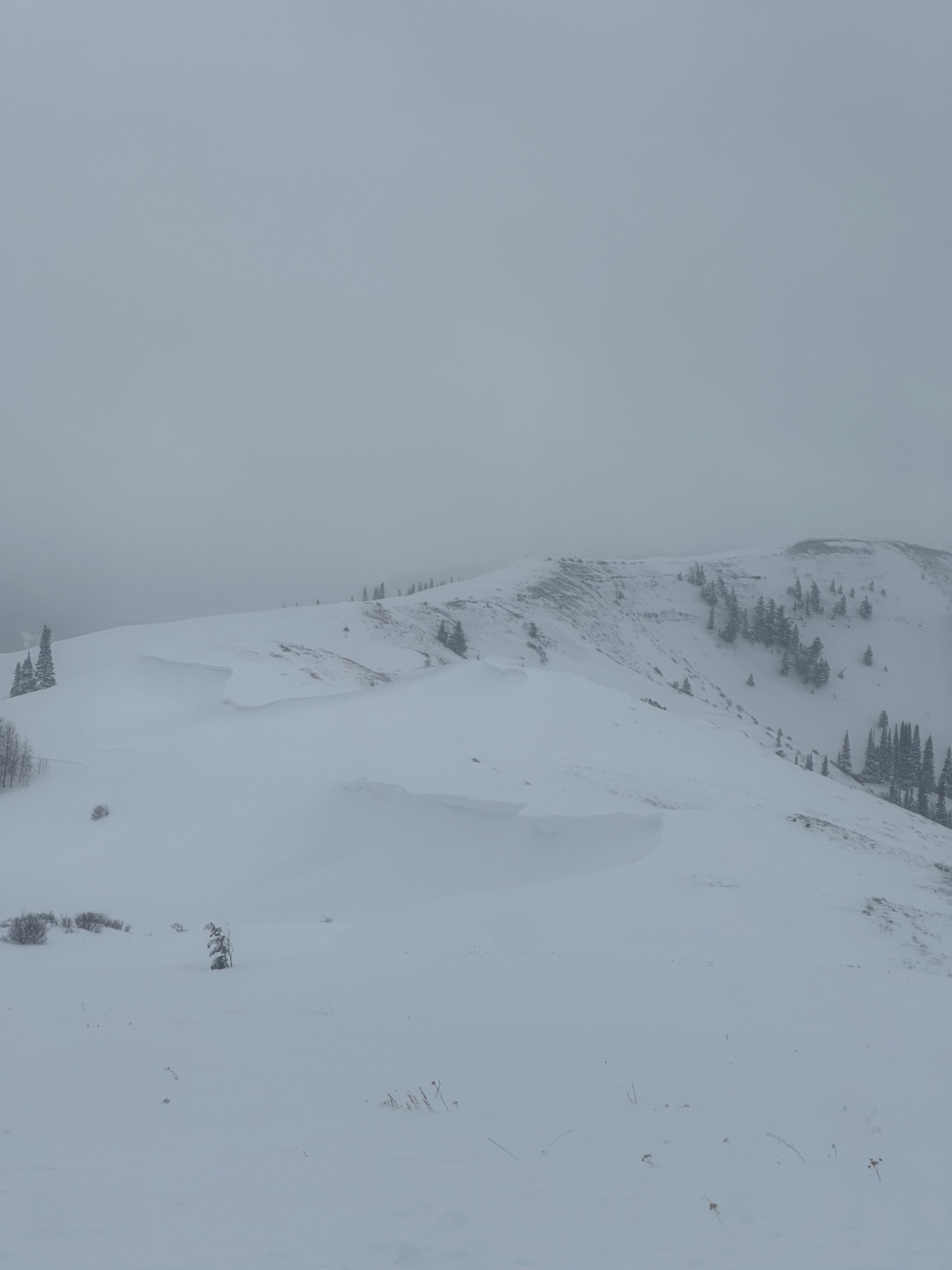
The average snowpack depth at 8000 feet is around 3 feet. Variability in depth is present along ridgelines, where winds have stripped western aspects (see photo). Storm snow and winds have created sensitive cornices along ridgelines with multiple small cornices having released naturally. Moderate western winds were constant along ridgelines, but quickly subsided when we descended below 7800'.
We descended away from the ridgeline to dig into the snow and check on some of our known persistent weak layers. This was my first snowpit this season that didn't have a rotten basal layer. An anomaly among snowpits, we identified the Feb 2nd layer but found the base of the snowpack was made of hard (1F+ -> P) snow. Snowpit tests resulted in an ECTX demonstrating no signs no instability.
As additional snow and winds move into the area, expect hazard to increase. There is a fair amount of uncertainty surrounding the Feb 2nd layer as propagation and instability have been noted in specific areas, especially where the snowpack is thinner.
Weather
- Cloud Cover
- few
- Wind Loading
- moderate
- Snow Avail For Transport
- small smounts