
Quick report
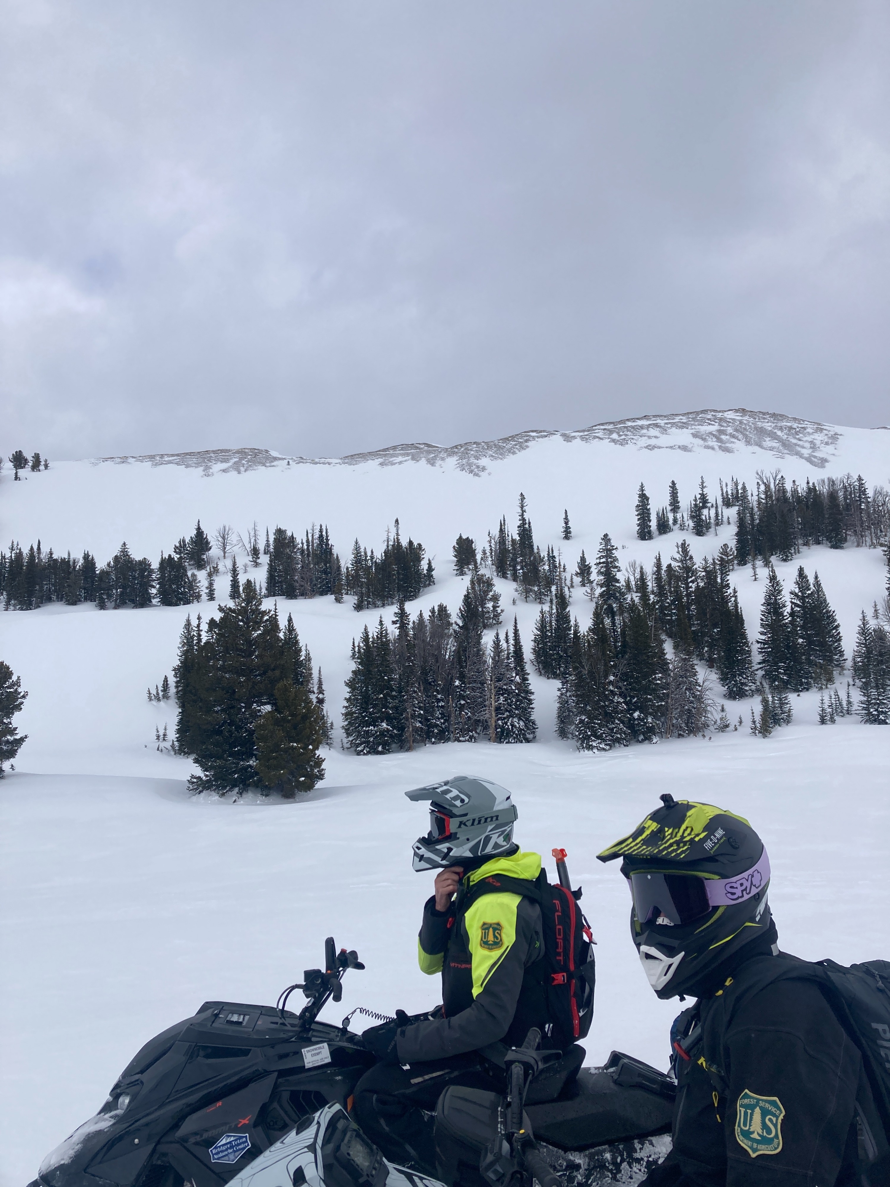
Rode up to Commissary Ridge to do weather station maintenance and then up to Sheep Pass for a quick look around. We traveled through most aspects up to 10,000’. We did not observe any signs of instability such as cracking or collapsing, even in wind affected areas. We did observe one large avalanche that occurred within the past 3 days (see avalanche section).
The snowpack above 9,000’ in this region is about 8-9 feet deep on average. However, the wind has stripped and loaded many slopes so depths vary significantly above treeline. A rain/ temperature crust exists on the surface on all aspects up to 8,500’. Stability tests did not produce any unstable results (see snowpack section). The February 3/4th rain crust is buried 3-4 feet deep in most locations above 8,500’.
Weather
- Air Temp
- 30
- Cloud Cover
- scattered
- Rain Elevation
- 8,500'
- Recent Snowfall
- 2"
- Snow Avail For Transport
- small smounts
Partly cloudy and breezy. Moderate temps.
Snowpack
Dug a pit on a NE facing slope at 9,500’. Some wind affect here. Total height of snow = 300cm (10ft). The Feb 3/4 rain crust is buried 4 feet deep here. No propagation in stability tests. ECTN 30 down 80cm (2.5ft) on decomposing and fragmented snow crystals (not facets).
34” of snow containing 5.9” of snow water equivalent (SWE) has fallen at the Commissary Ridge station since 2/11.
Avalanche
- Size
- D2 R2
- Type
- HS
- Aspect
- SE
- Elevation
- 8700 ft
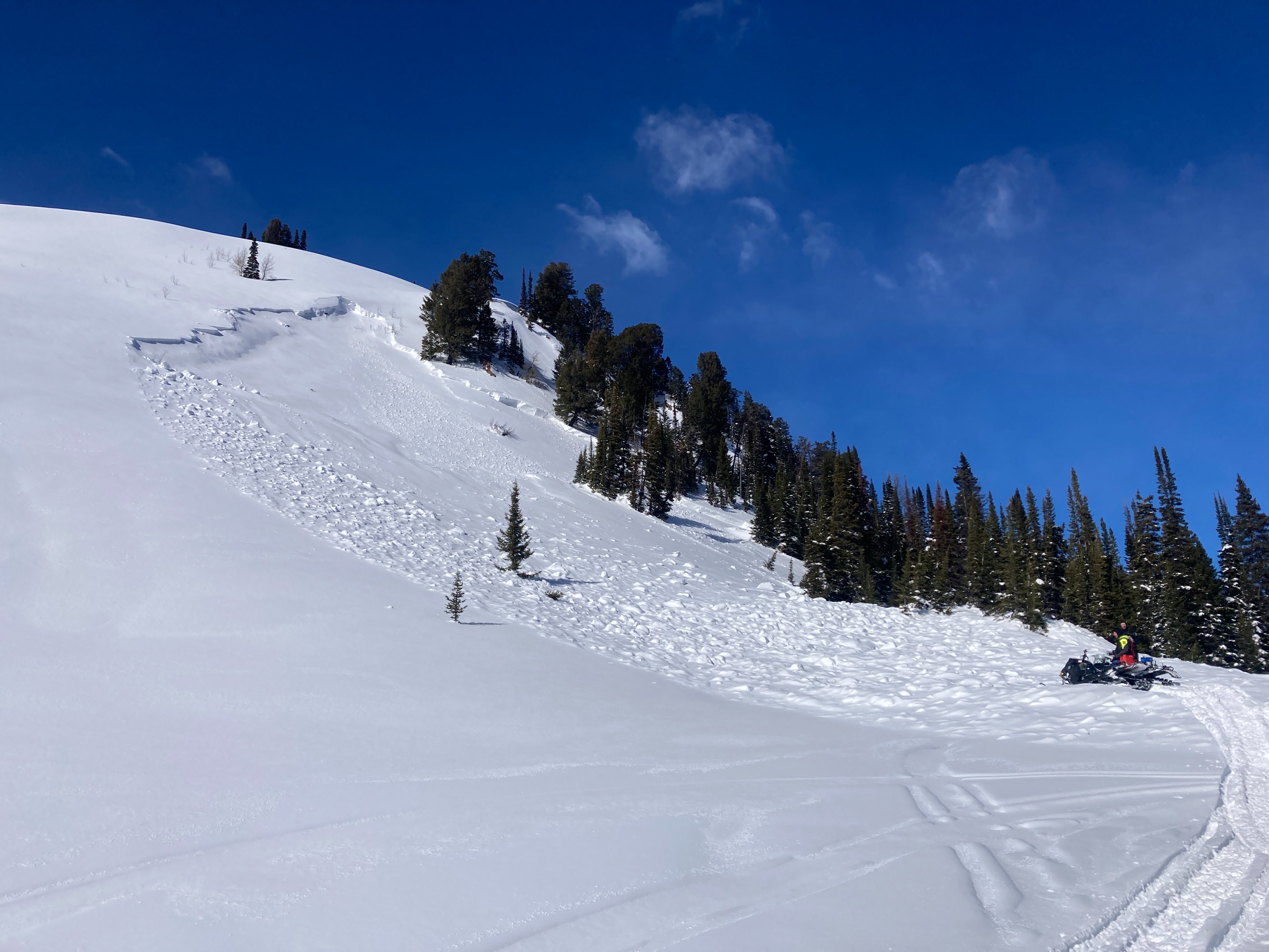
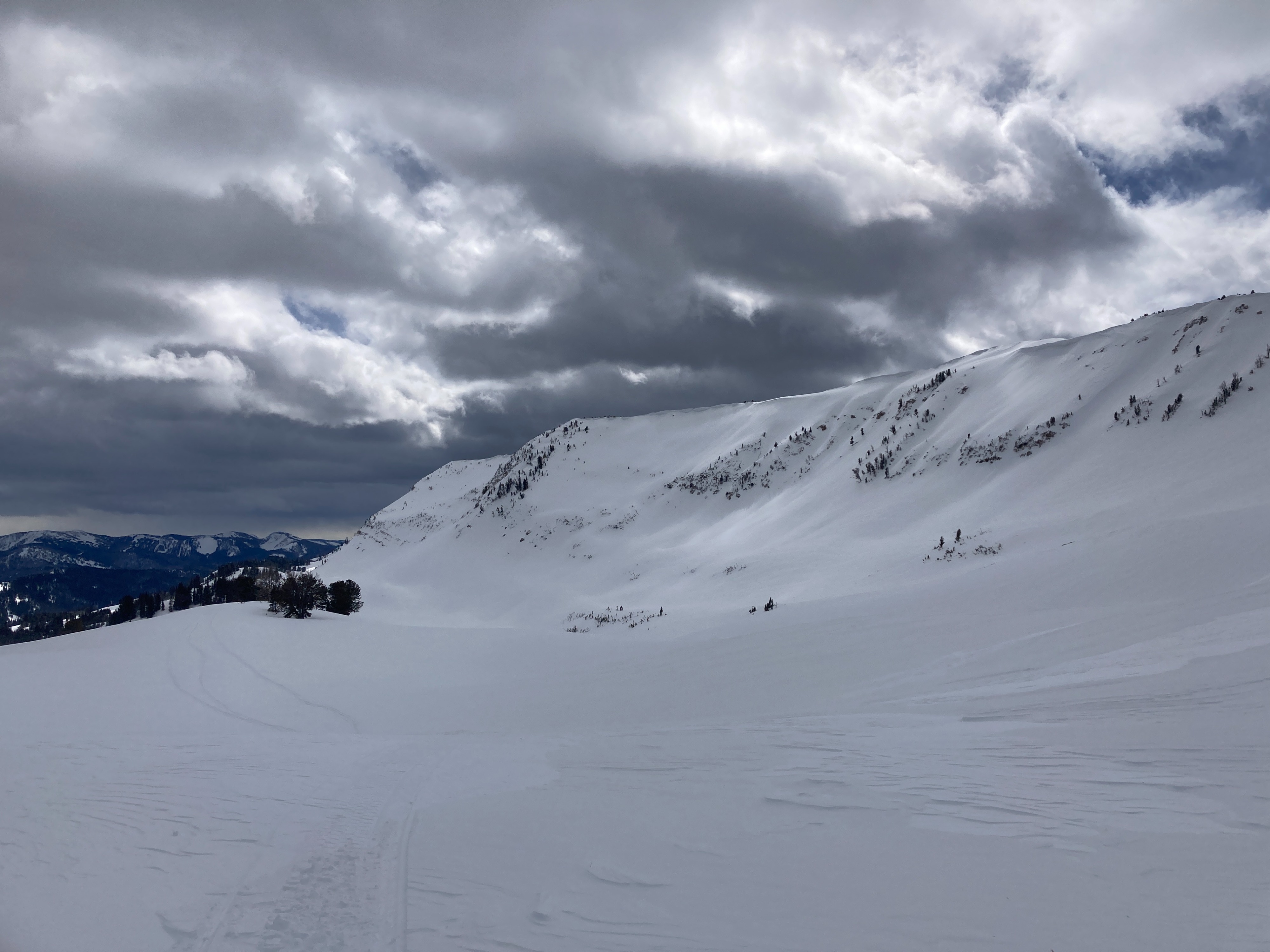
A large avalanche that occurred sometime on Sunday (2/23) or Monday (2/24). The crown appears to be 2-4 feet deep and broke into older snow from late January. The avalanche failed on a very steep 40+ degree slope that is cross loaded by the wind. Possible snowmobile trigger with snowmobile tracks at the base, though it’s difficult to tell. Debris pile was large enough to bury a person. We also observed a few small and blown in wind slabs along the Smiths Fork headwall. Very steep, east facing terrain near 10,000'.