
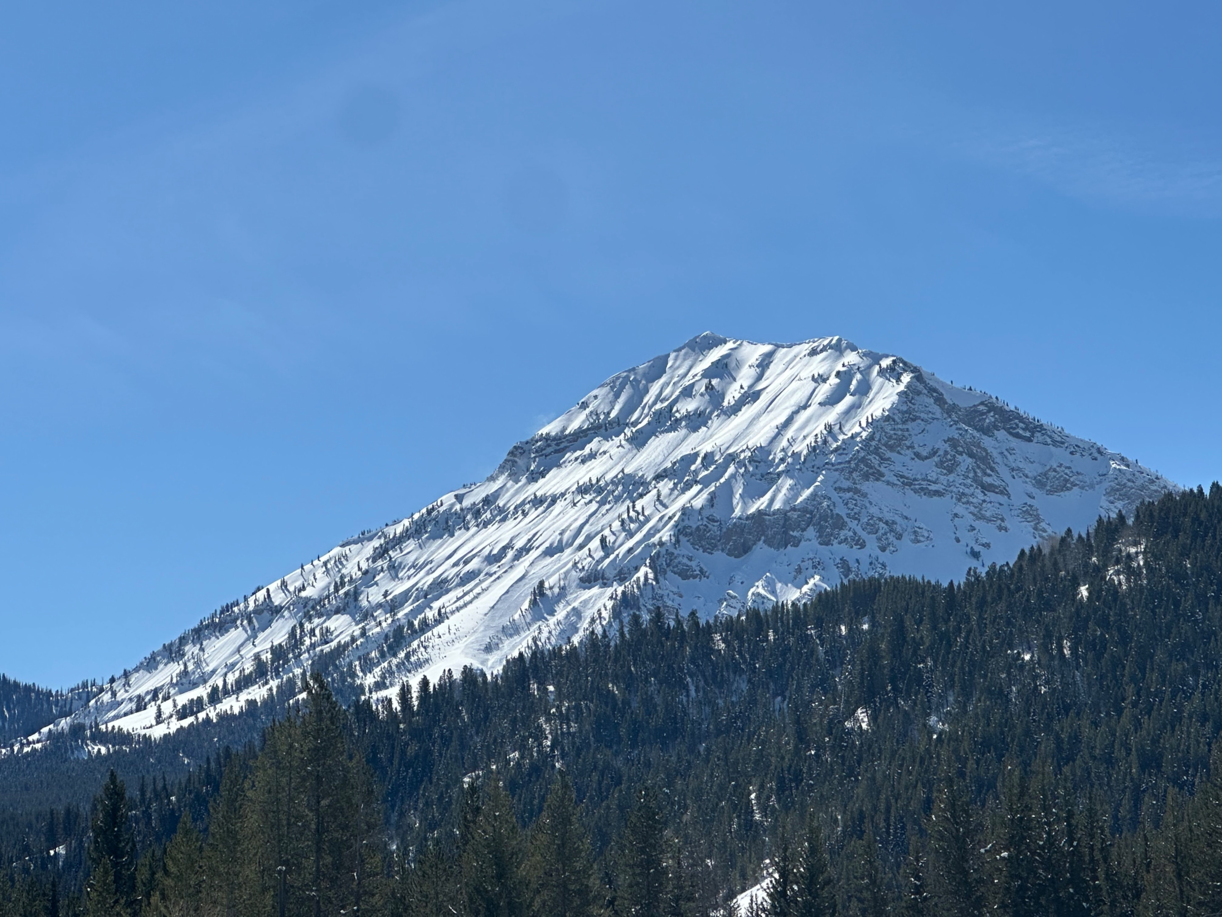
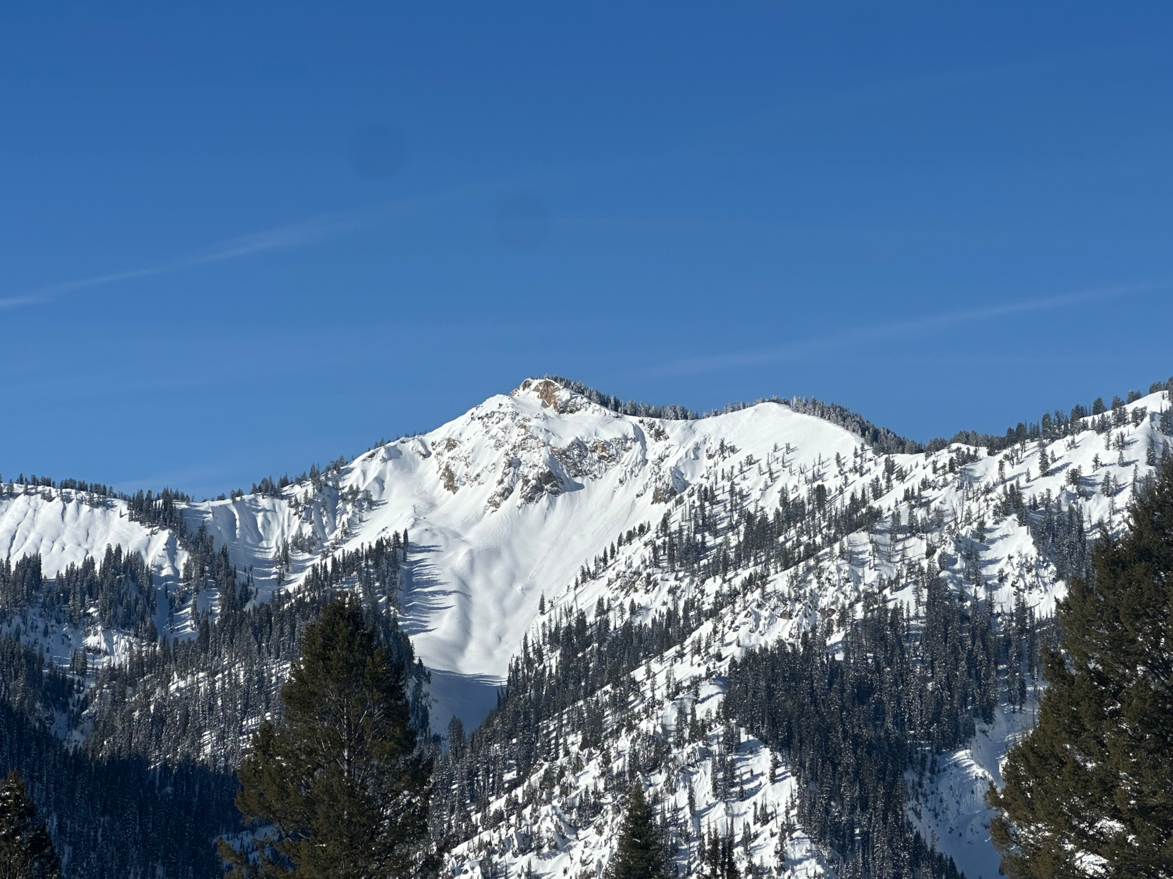
Quick report
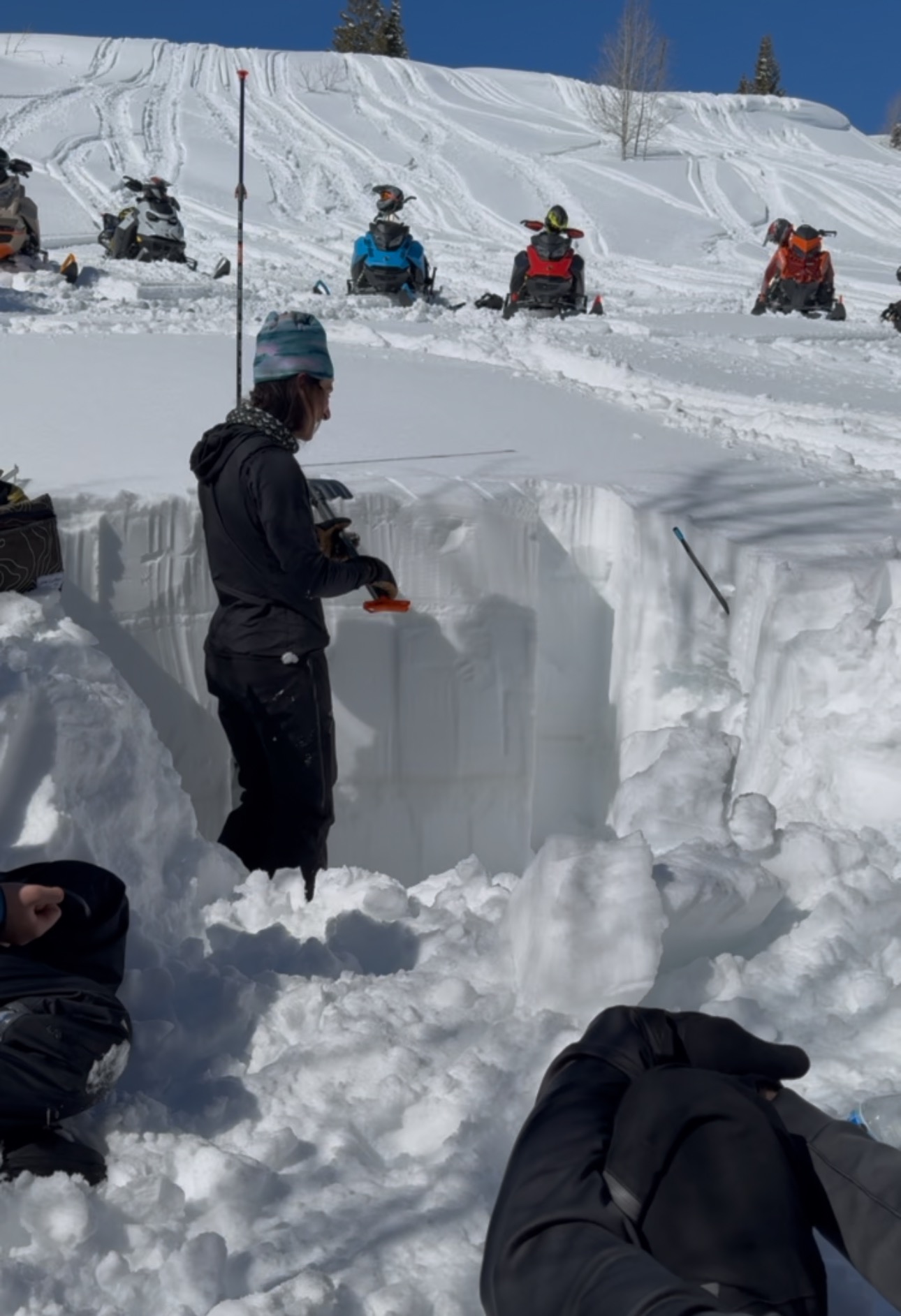
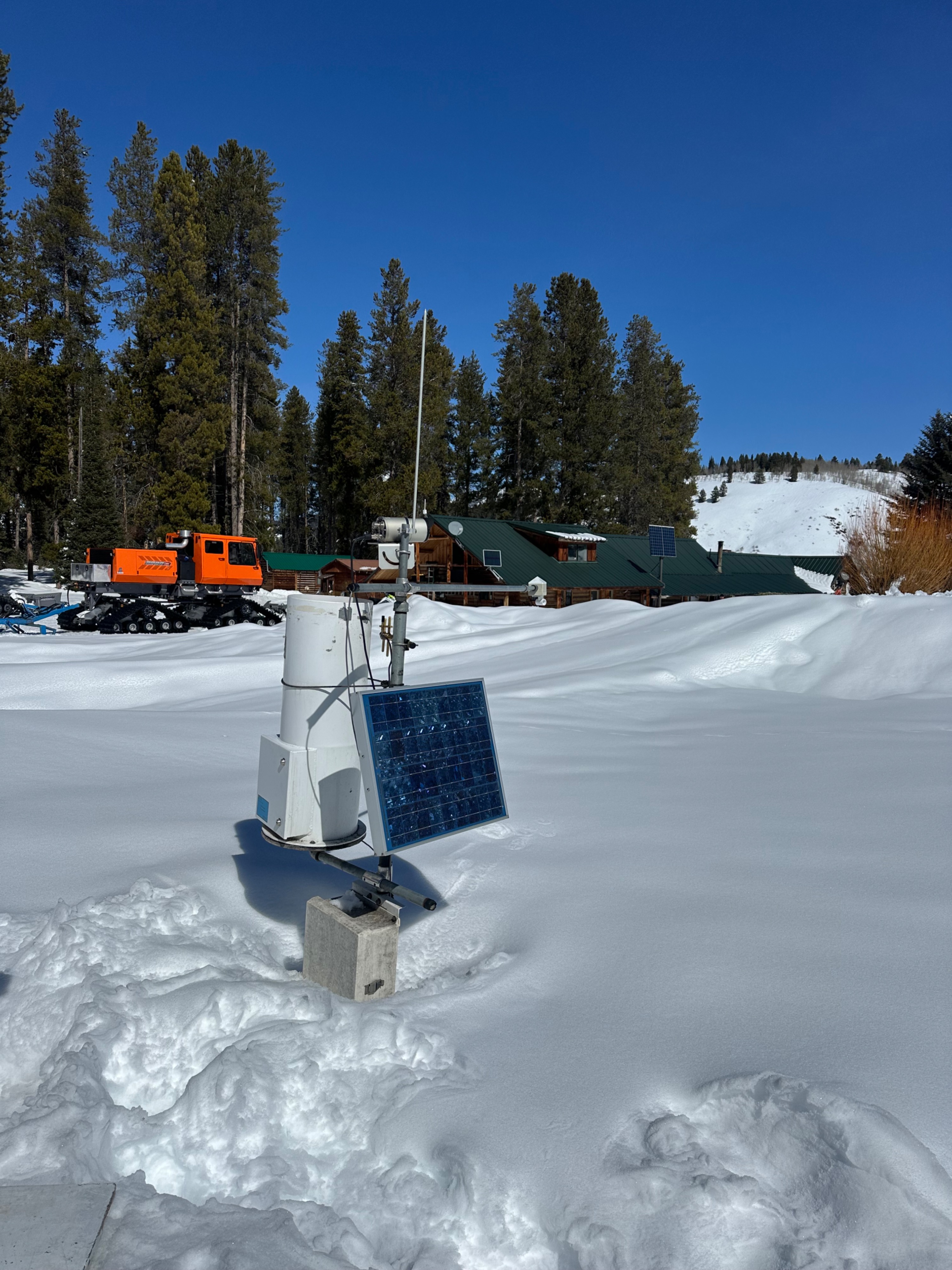
Great to get out for the day with some of the Snow Devils, plus Case and Searle. We rode to a north-facing slope around 8,000 feet and found almost 2 meters (6.5 feet) of snow. Average total snow height on N and S aspects averaged 185 cm. Pit results yielded ECTX results (unsurprising) with a few prominent interfaces to watch moving forward, but for the most part, a very consolidated and cohesive snowpack. The first thing worth noting is the widespread surface hoar development ranging in all aspects and elevations other than where the wind will affect the high peaks. This layer is growing on a stout crust (mainly), and depending on how the next storm plays out--how much snow and how rapidly it falls--this could make for a sensitive old snow/new snow interface that is reactive.
The most interesting thing I found was percolation columns in the middle 2-2.5 feet of the snowpack above the Feb. 6 rain crust (see in the photo below for the darker dust layer in the snowpit down ~2.5'). Percolation columns form as temperatures warm and slopes see a bunch of solar input, melting surface snow into water. The water trickles down through air spaces in the snowpack, forming long vertical channels that eventually snake down to the ground. These were not in the most recent snowfall (top 20 cm [~.5 ']) but rather traveling from the crust buried on March 4th. I'd suspect these columns are widespread across the zone on any aspect with this same crust (i.e., all low and middle elevations and upper elevations on the southern half of the compass) and are essentially refreezing and forming "rebar" in this portion of the snowpack. During peak warming, however, these columns are also efficiently transporting water melting at the snow surface down to the Feb. 6 dust crust. Water is pooling here, essentially forming weak slush. Unless water starts to make it through this layer and continues to work its way down into the snowpack while also refreezing at night, it may pose a future hazard. Once the snowpack stops refreezing overnight, wet slab avalanches on this layer may be possible.
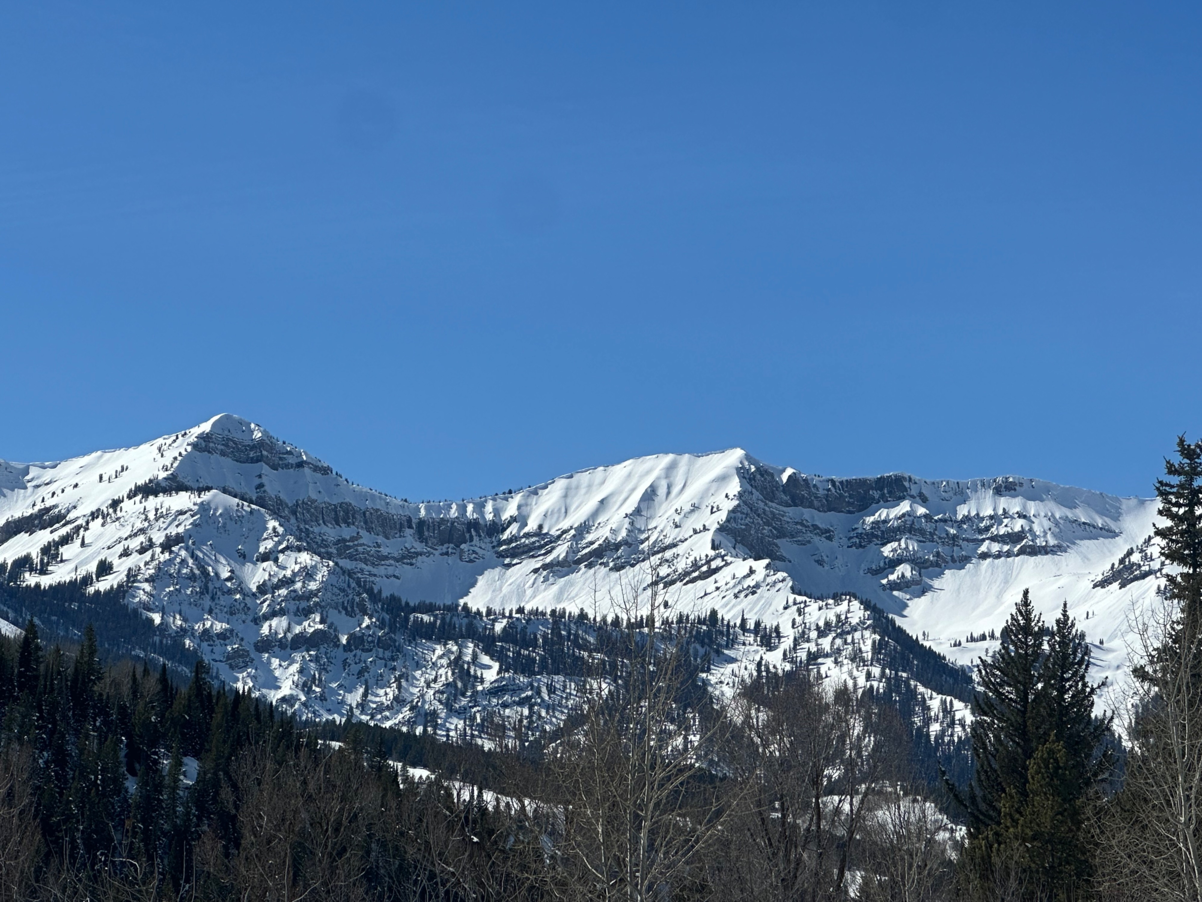
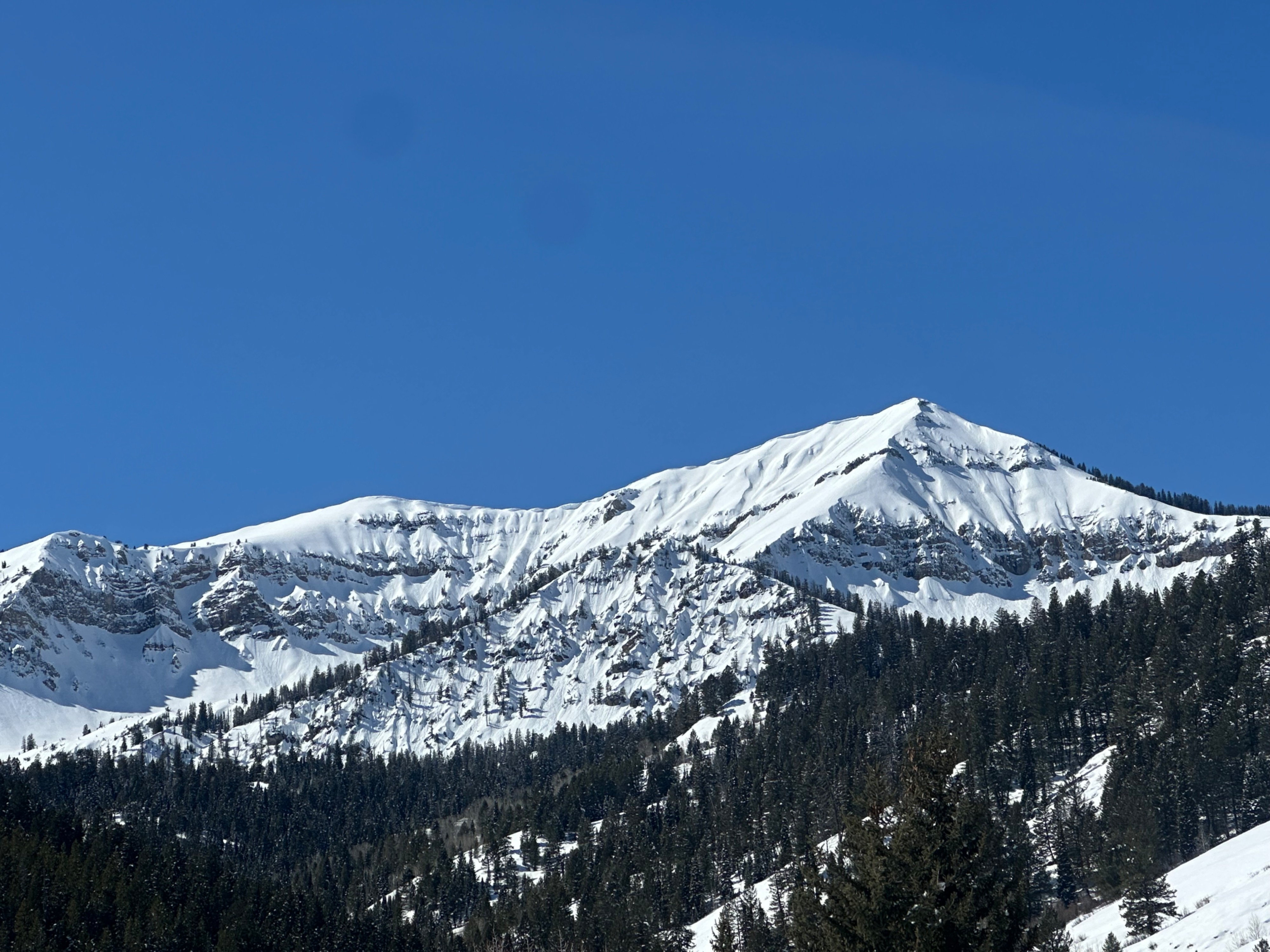
Noted old wet and dry loose (D1-1.5) activity. Not much new snow movement today. Small pockets of wind slabs visible on higher peaks, and big cornice development is starting to look a little droopy.Weather
- Cloud Cover
- clear
- Wind Loading
- moderate
- Snow Avail For Transport
- none
Snowpack
Stiff melt-freeze crust on most aspects other than due N.