
Quick report
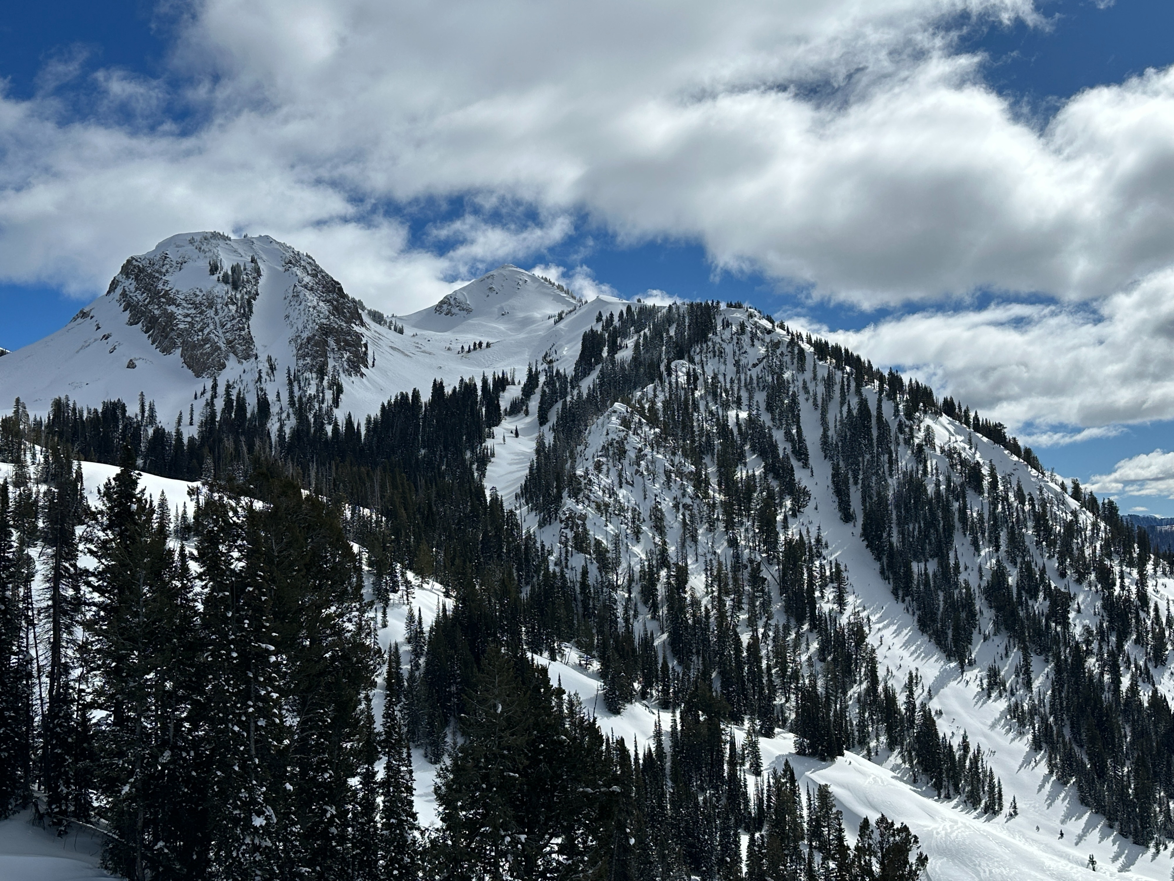
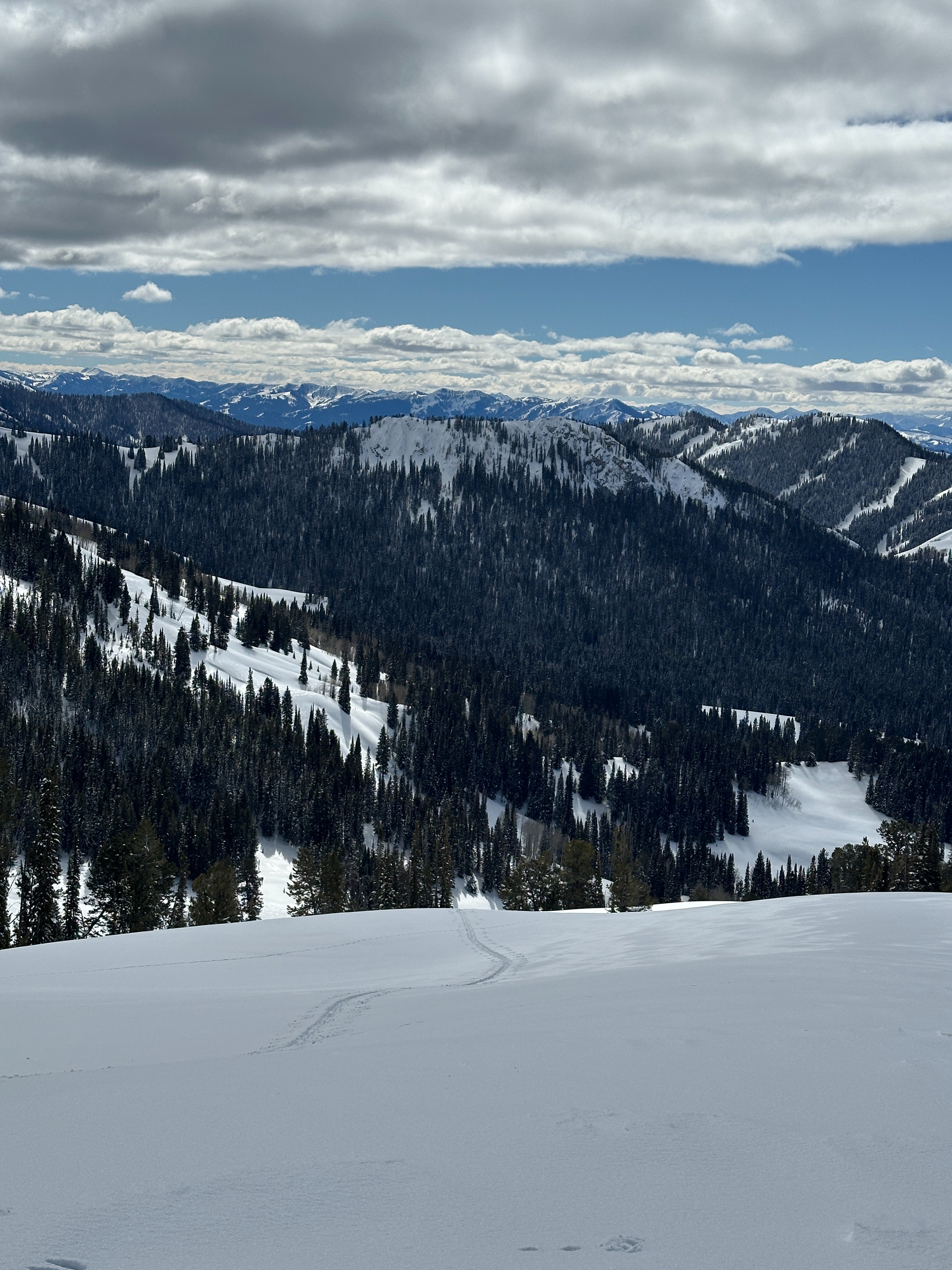
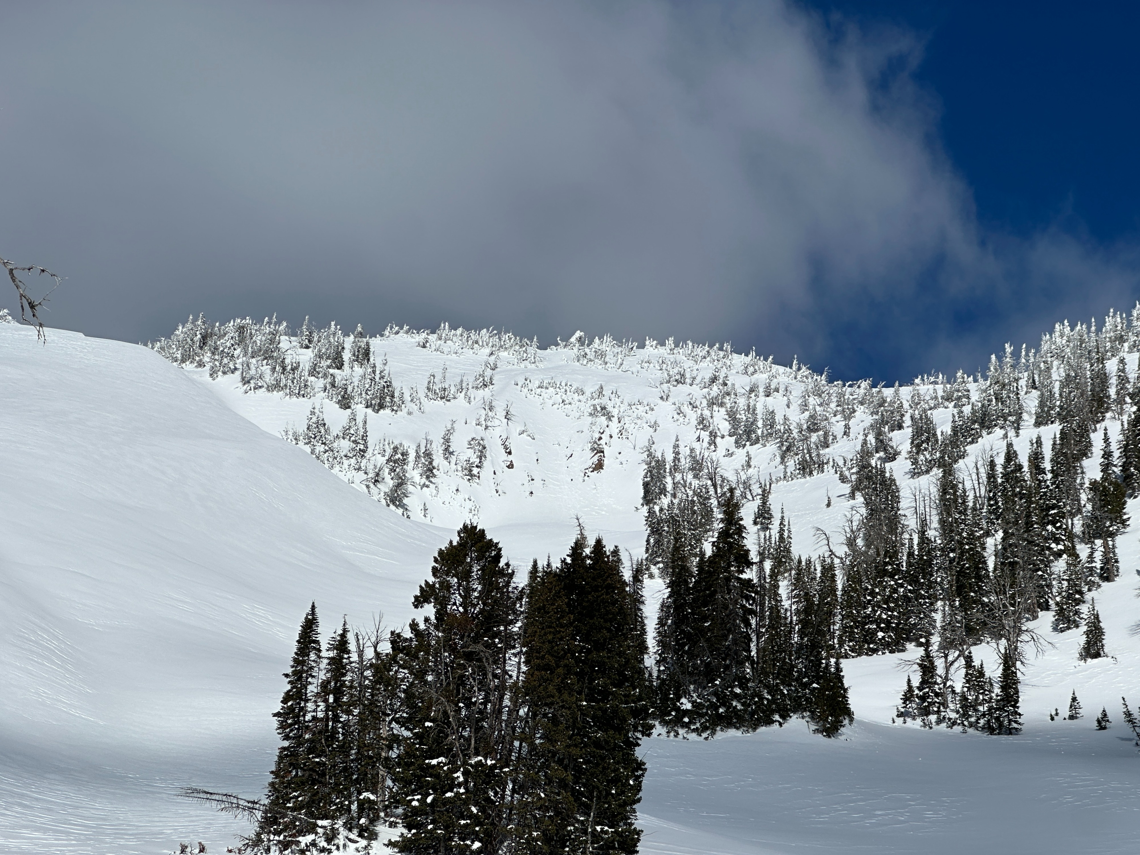
I traveled up towards Nowlin Peak and the drainage west of Cache Peak to assess conditions and stability in the Southern Gros Ventre Range. During the morning and early afternoon, the skies were mostly sunny. Mid-afternoon, clouds started to develop, and the skies became partly cloudy. Temperatures were warm, with above-freezing temperatures at lower elevations. While the skies were mostly clear, I did not notice signs of instability due to warming. The snowpack's top 2-3 inches became wet and sticky below 7600' on solar aspects - below 8500' surface snow was moist. The rain/temperature crust that formed on 2/24 is present up to ~7800' on all aspects. This crust is ~1-2 inches thick and supportable. Winds have been strong in this area. South and west-facing slopes above 9800' have been stripped with large cornice and pillow formations on leeward slopes. Today winds were light from the west above 9000'. I found the average snowpack depth in upper elevations is just below 2 meters (6.5 feet) while middle elevations have an average depth of 1.5 meters (5 feet).
This portion of the Gros Ventre Range started to see warming snow today but no activity. As high temperatures and clear skies are forecasted for this weekend, it's likely the mountains will experience a wet loose cycle on solar aspects in the coming days.
Weather
- Air Temp
- 38F at the parking lot in the afternoon.
- Cloud Cover
- scattered
- Wind Loading
- previous
- Rain Elevation
- 2/24 rain crust up to 7800'
- Snow Avail For Transport
- small smounts