
Quick report
- Cracking
- widespread
- Collapsing
- widespread
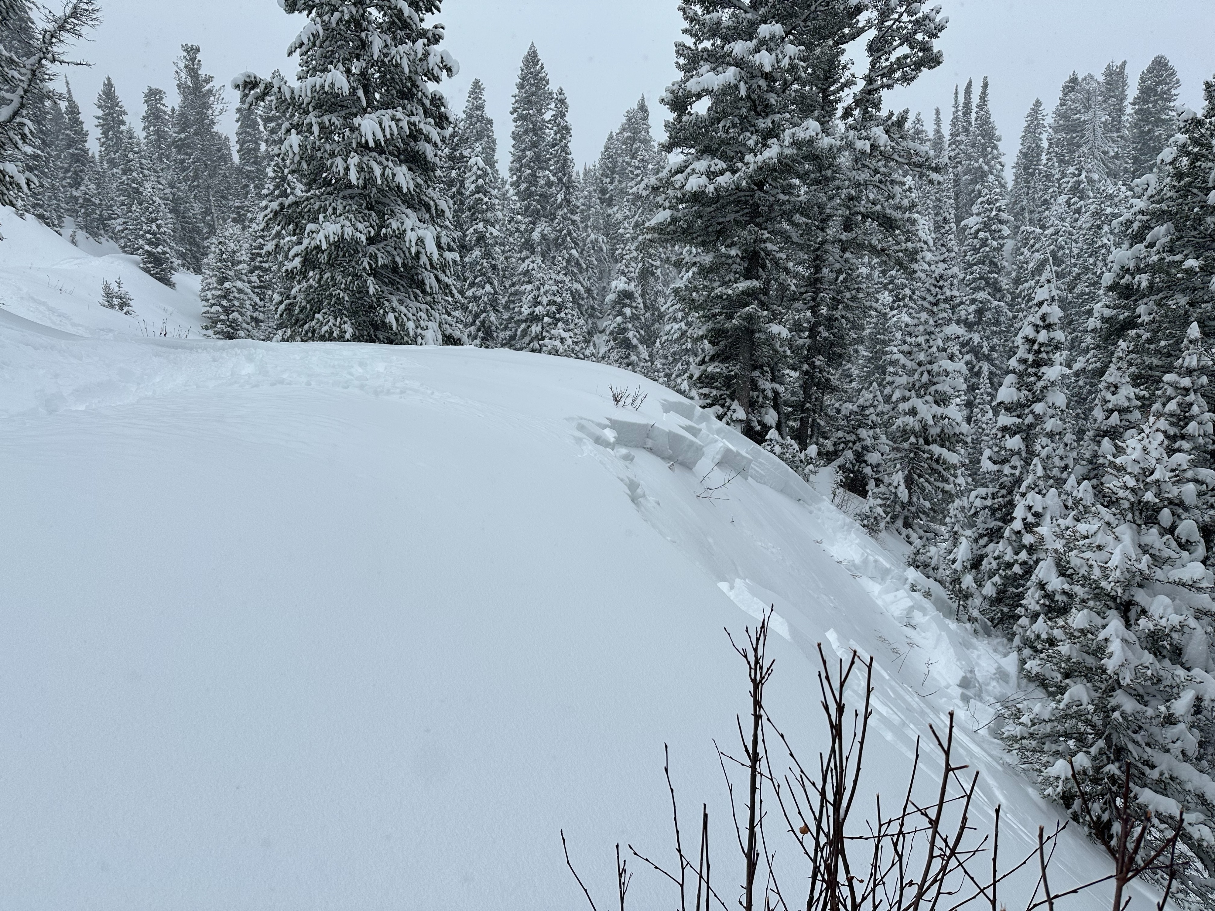
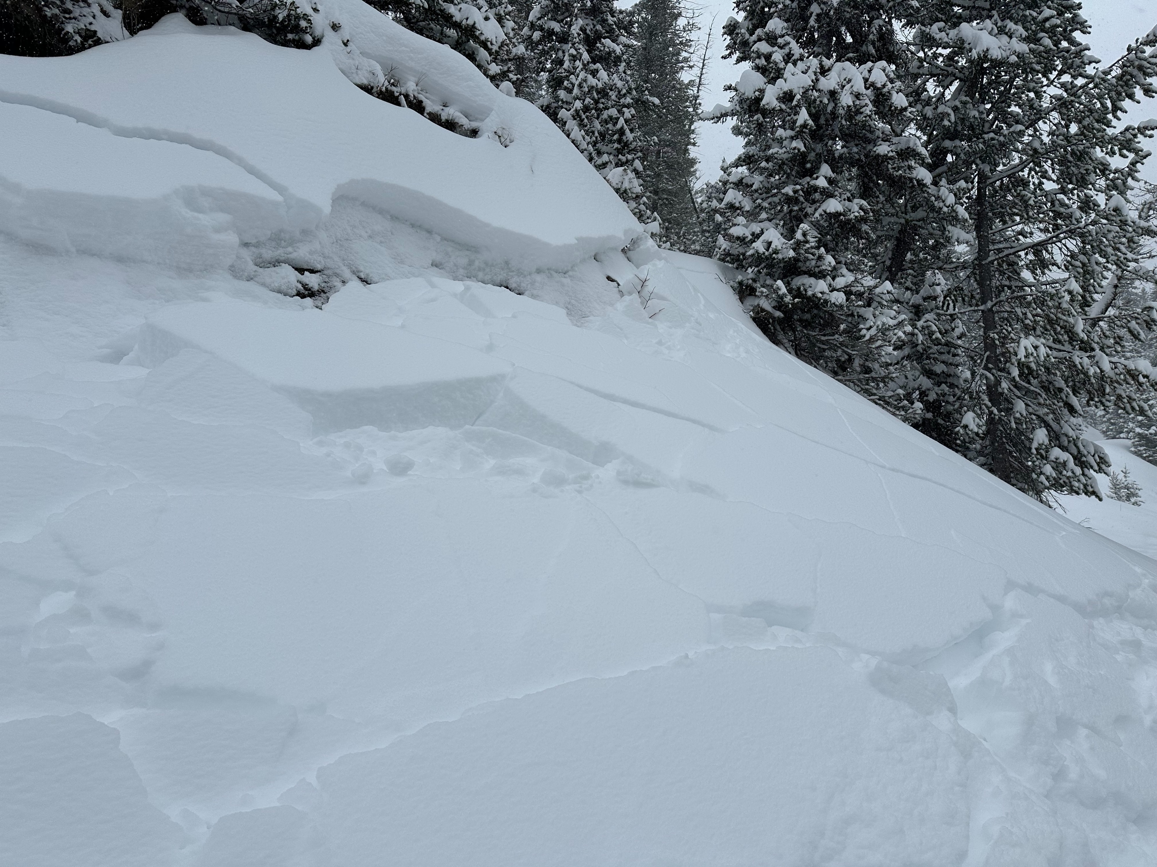
Traveling through the northern Salt River Range today we noticed obvious signs of a weak snowpack. Over the past 72 hours, ~20-30 inches of new snow has fallen on weak old snow. As the new snow settles, it starts to form a cohesive slab. The old snow underneath is unsupportive and therefore current conditions make it easy to trigger an avalanche. In places where the old snow is well distributed, it's possible to trigger these avalanches from below or above. While traveling along the Squaw Creek road, we remotely triggered multiple small avalanches along the road cut bank. Slopes that had previously avalanched were reloading with snow from wind and continued precipitation. We also witnessed signs of instability such as cracking and collapsing. Some of these cracks were 100 - 200 feet and extended down to the old snow/ new snow interface.
Sensitive avalanche conditions in the northern Salts today. The snowpack on W-N-E aspects above 7000' collapsed or cracked easily. Small test slopes steeper than 30 degrees collapsed and avalanched as well. We also noticed small avalanches below 7000' on terrain that harbored old snow.Weather
- Cloud Cover
- obscured
- Wind Loading
- moderate
- Snow Avail For Transport
- large amounts
Temperatures through the morning remained in the low 20s F. Afternoon brought a high of 31 F at the parking lot. Light snowfall (S1) was consistent through the day. Winds were mostly calm until ~1pm when gusts picked up to moderate speeds from the NW.
Snowpack
Traveled to a NE aspect at 8400'. Snowpit test result of ECTP14 failing on the new snow/ old snow interface (~20 inches down). The total height of the snowpack was ~30 inches. The new snow that has fallen over the past 72 hours is settling into a cohesive slab.