
Quick report
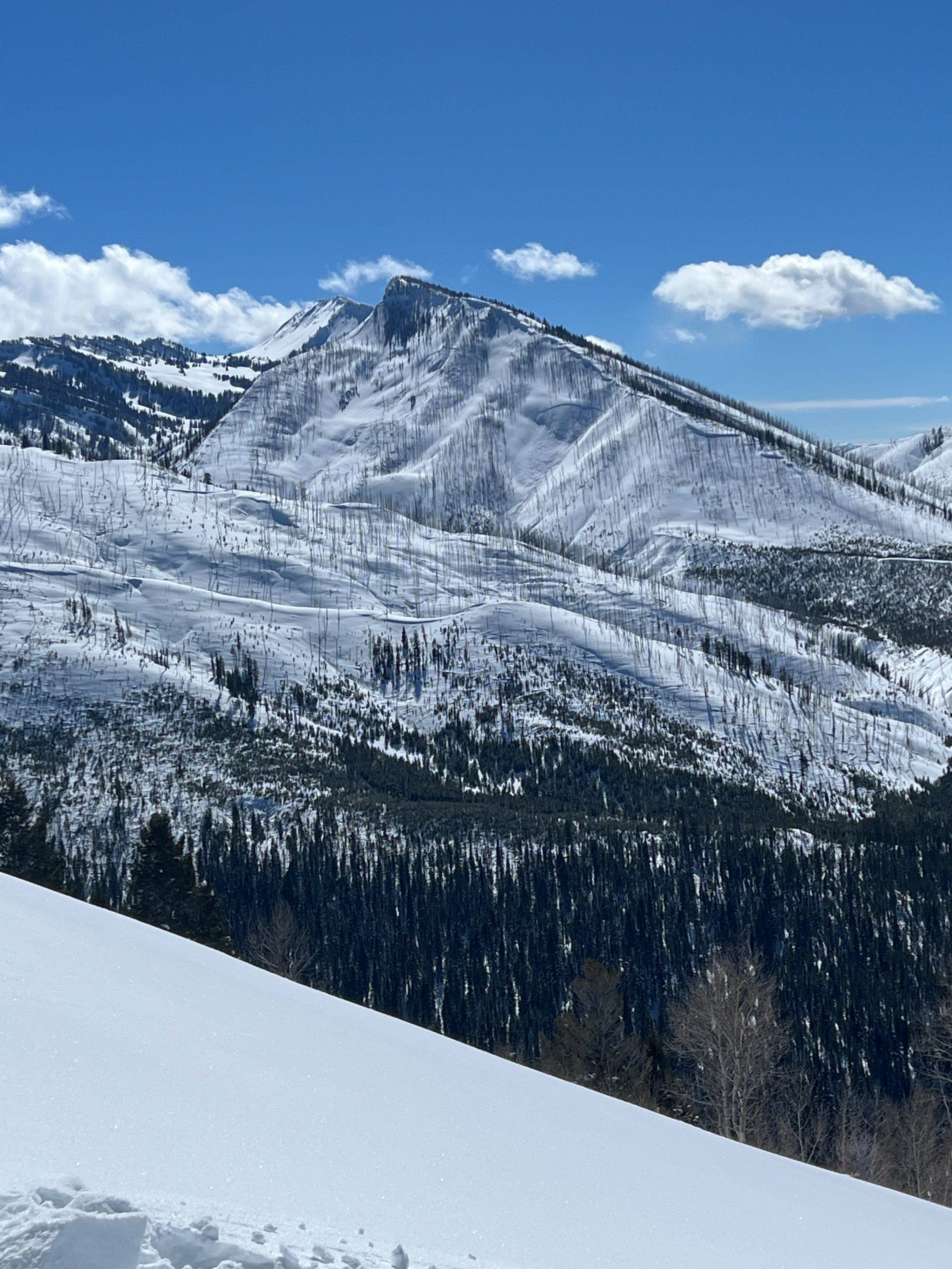
Rode the Little Greys River back into Deadman Peak area to investigate the Feb 18th weak layer that has caused increased avalanche activity including the Hoback Peak snowmobile burial. This area of Wyoming Range is notorious for a shallower snowpack than the rest of the Greys Forecast Zone. As a result, this layer is more reactive with moderate progatation during stability tests. A hard slab has formed above this weak layer, creating a dangerous and consequential large avalanche if it is triggered. Use extra caution if you are recreating in these areas of the Wyoming Range with a shallow snowpack. We also saw two recent natural avalanches near Deadman Peak on a wind loaded NE aspect near 8700'. Lots of weak, sugary facets below hard but trenchable slab on shaded aspects.
Snowpack
Investigated the Feb 18th persistent weak layer that has been the culprit of recent avalanche activity in the Wyoming Range.
8200' SW aspect HS: 160cm ECTP17 down 65cm on Feb 18th facet/crust layer. 1F hard slab above this layer and easy to trench down to this layer while snowmobiling.
Avalanche
- Size
- D2 R1
- Type
- SS
- Aspect
- NE
- Trigger
- N
- Elevation
- 8700 ft
Avalanche likely failed on Feb 18th PWL with significantly wind loading this last week.