
Quick report
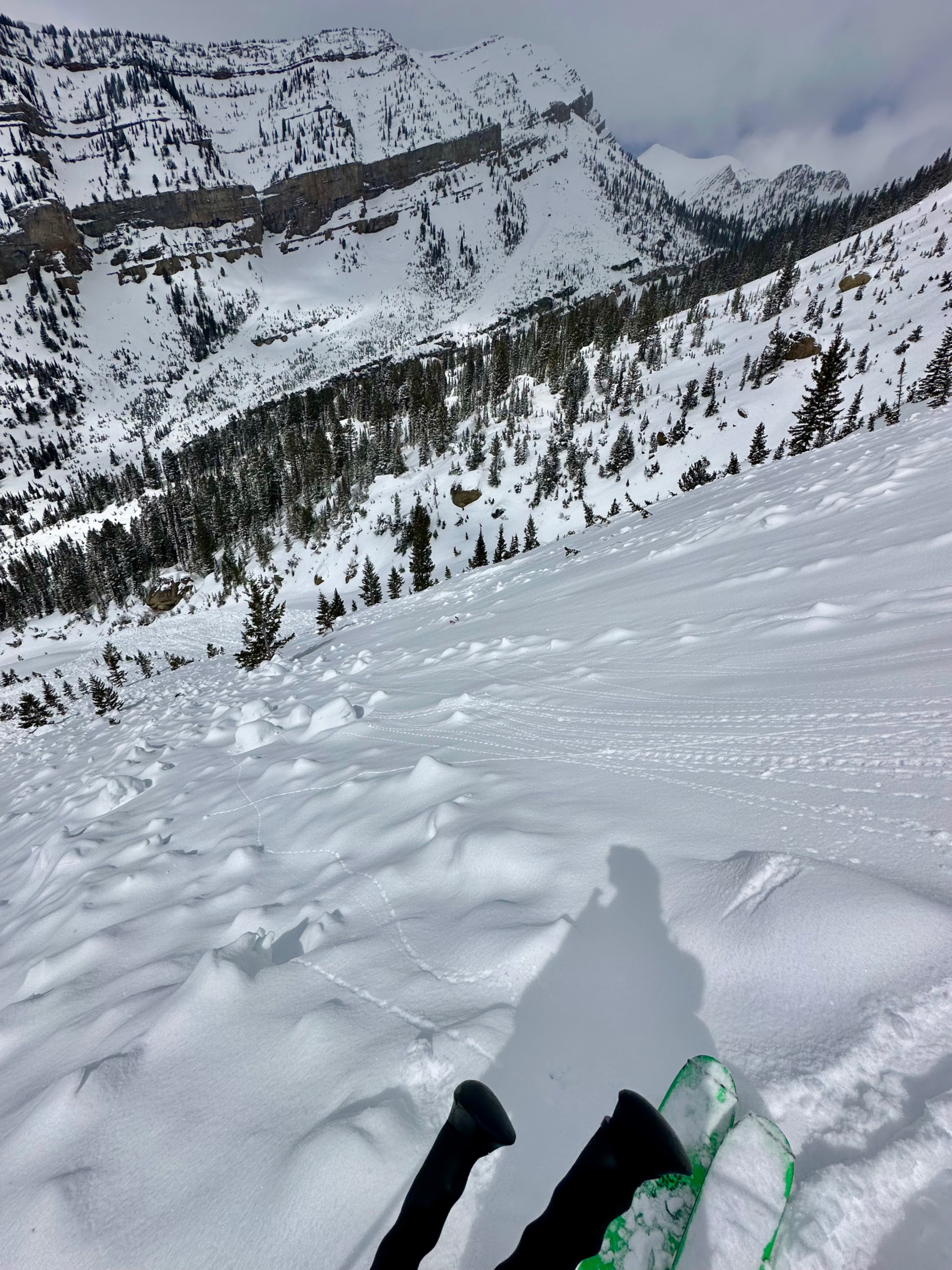
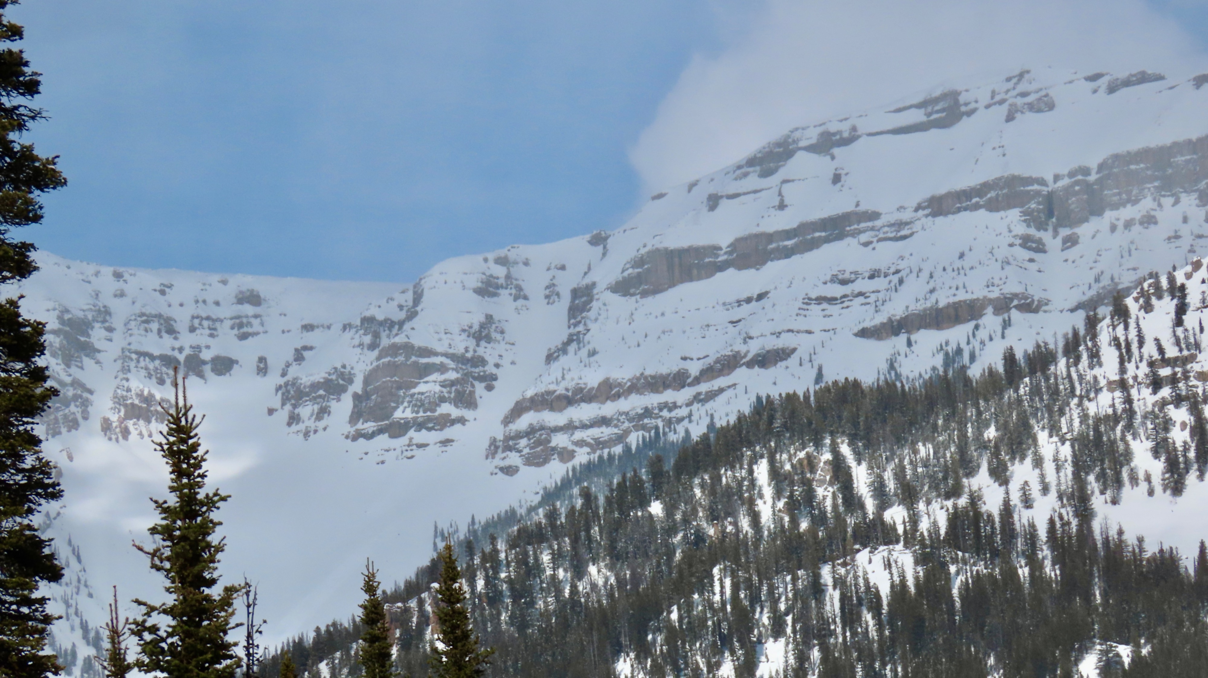
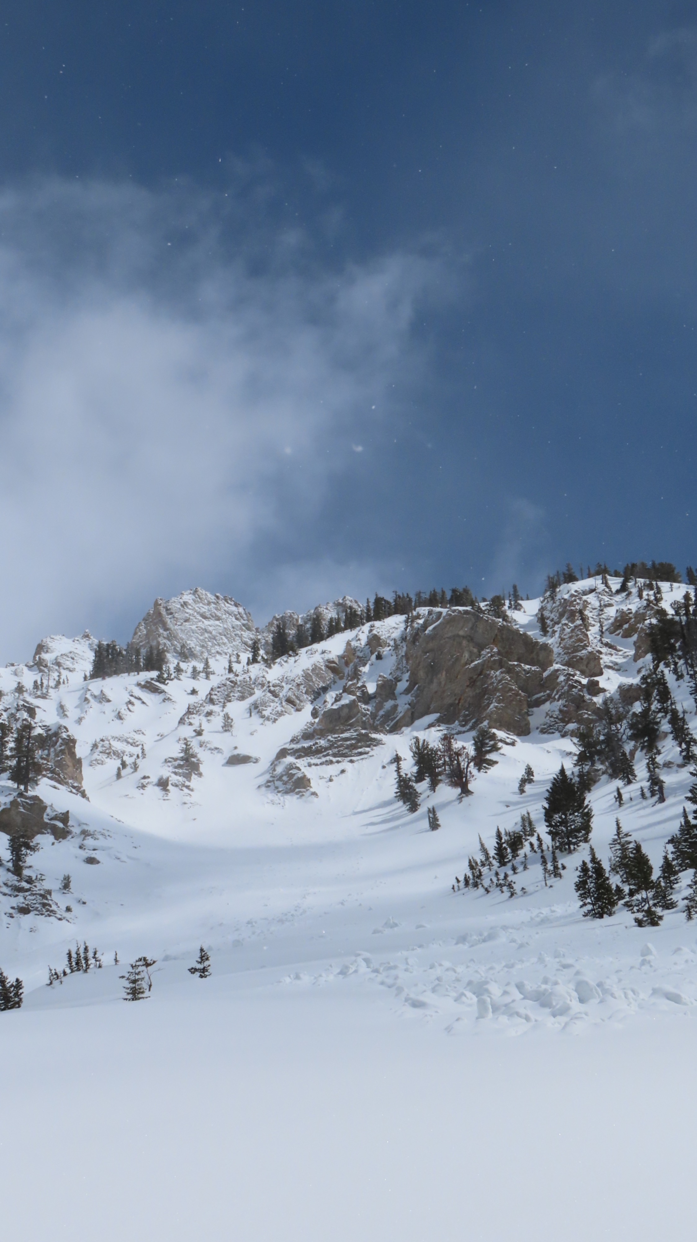
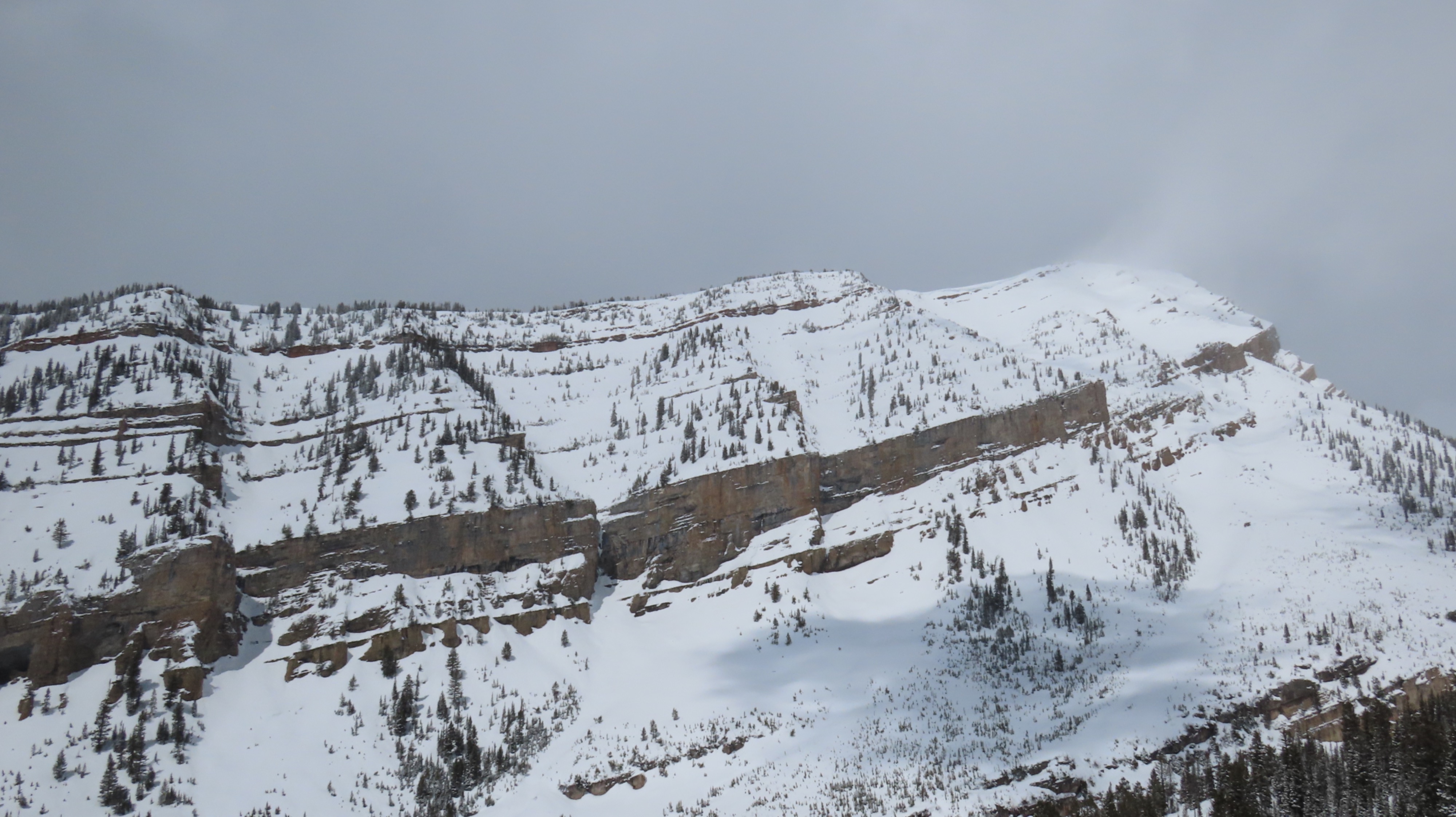
We found a generally shallow snowpack (around 150cm, around 5 feet) at 9,000 feet on a NE aspect. Around 3-6 inches of fresh snow capped a breakable melt-freeze crust atop a recently faceted layer of snow. This layer of facets was around 2-3 inches thick. Where new snow was slightly more winded, it formed a more cohesive slab, even at middle elevations. The terrain in which we ventured had recently produced a very large set slab avalanche, and recent wet loose avalanches were noted on west-facing terrain further up the Granite Creek drainage.
The next potent storm system is moving in Thursday into Friday, and I expect to see dry snow avalanches failing within the top portion of the snowpack. The spring is very complex; it will consolidate much of the top portion of the snowpack and start melding things but also leave a variety of weak snow layers in very spatially diverse spots. Avalanches during this time may break far deeper than we expect and, in many ways, these conditions are less predictable than an aspect-wide or elevation-wide problem. Any weather clearing and solar input should be regarded carefully moving forward; the next warming period will bring another wet loose and wet slab cycle.
Weather
- Cloud Cover
- broken
- Wind Loading
- moderate
- Snow Avail For Transport
- small smounts
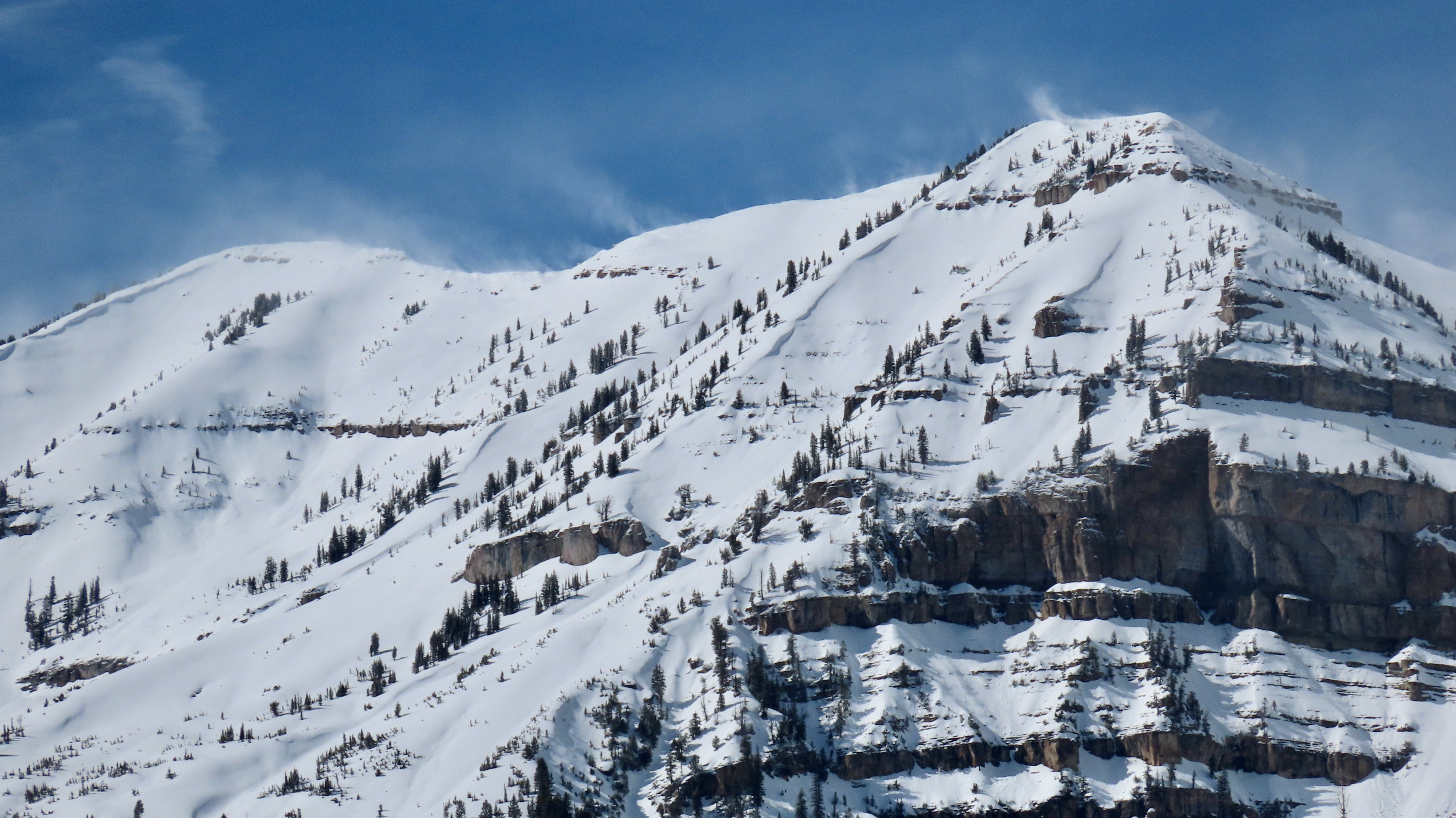
Clearer skies were observed earlier than expected, moderate winds were present, and temps stayed cold throughout the day.
Avalanche
- Size
- D2.5 R2
- Type
- WS
- Aspect
- W
- Trigger
- N
- Elevation
- 10200 ft