
Quick report
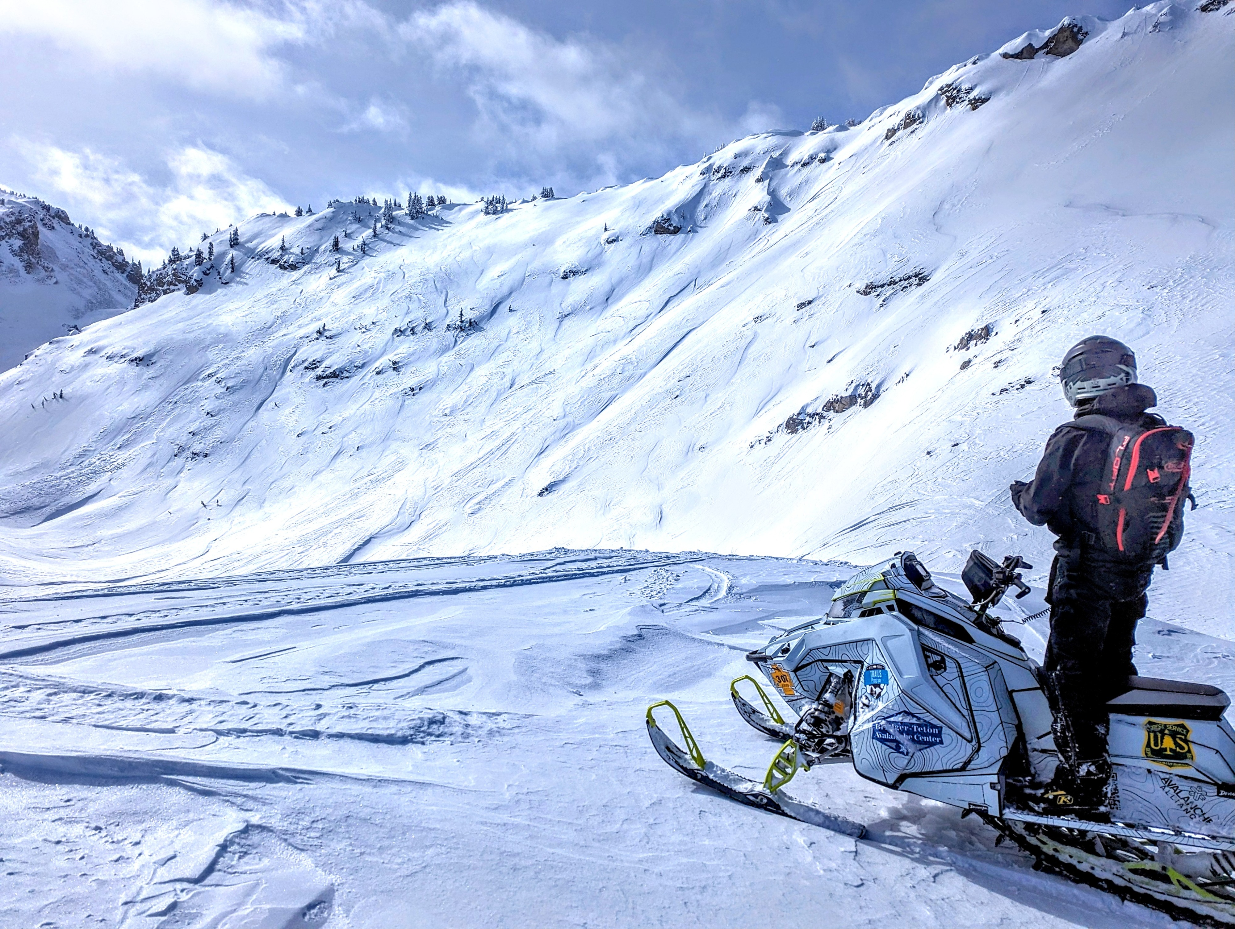
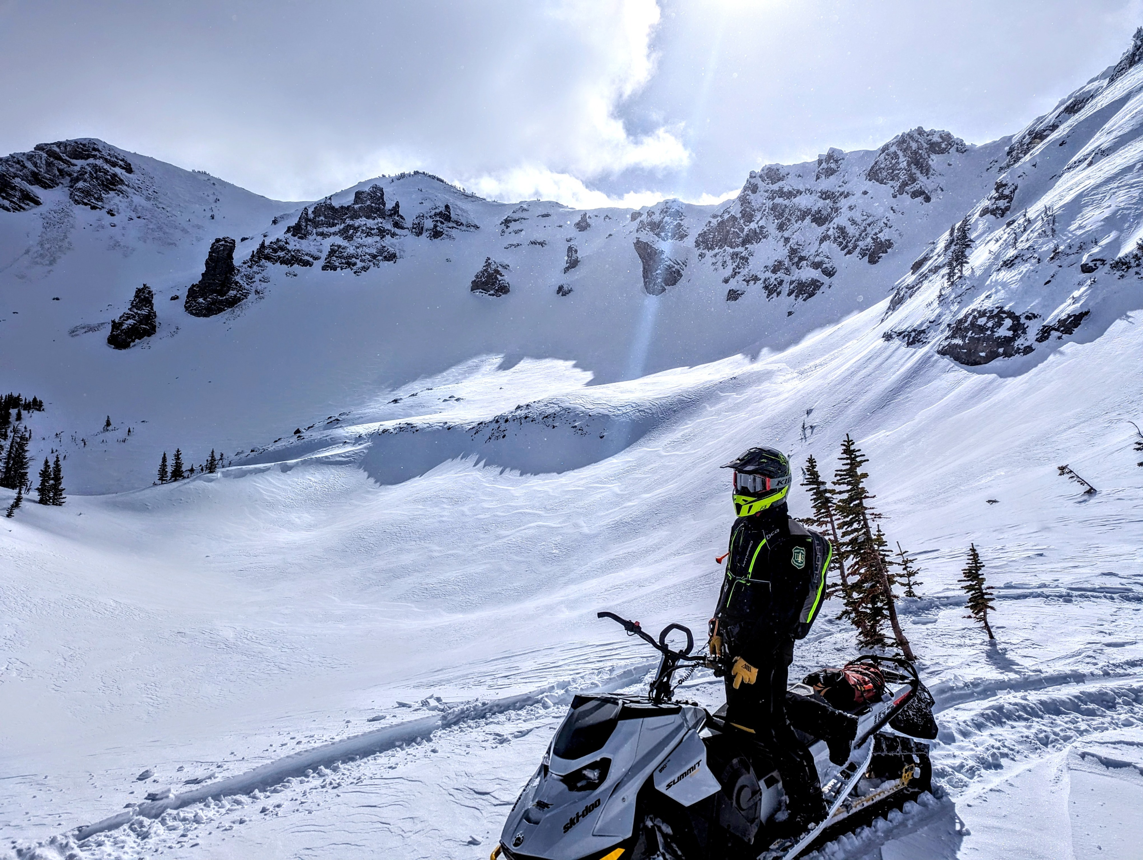
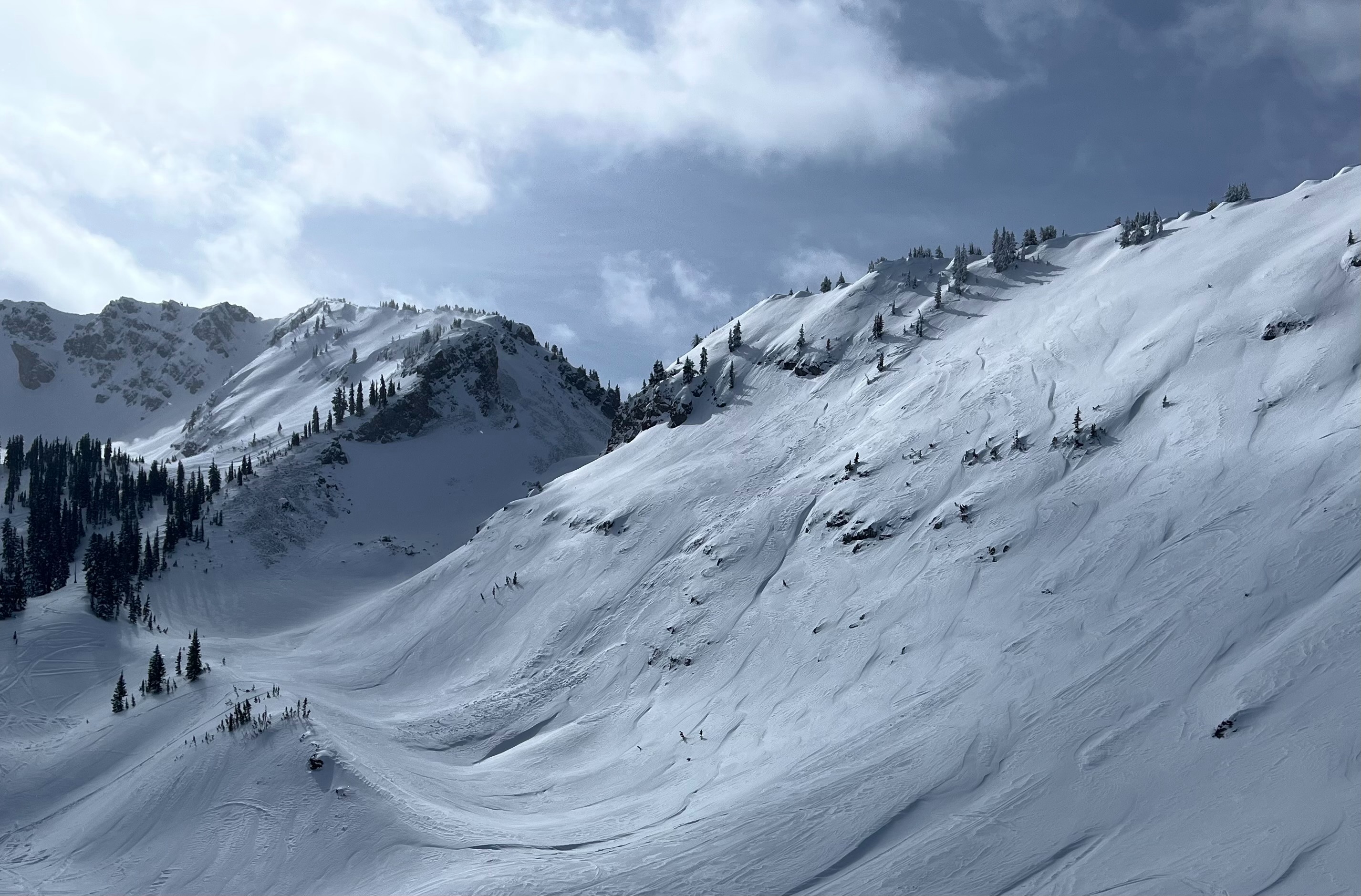
Lots of obvious wind affect especially in the upper elevations. Recent snow 30-60cm (12-24") including wind drifted areas. Total height of snow varied drastically in upper elevations from totally bare to over 200cm deep. Most concerning slopes are those specific areas inbetween that are thin and shallow, but contain a hard slab over weak snow. We found one avalanche that failed on the 1/4 weak layer depicting this problem well that we've been describing in the Deep Persistent Slab problem in our forecasts (see attached video).
Hit a few tests slopes and found no instability in recent snow (Feb 2nd interface). This weak layer appears to be adjusting to the current load. Steep wind loaded terrain is the most concerning off ridgelines and exposed upper elevation slopes (See attached avalanche events for examples). Snow surfaces look good for this incoming storm, no weak facets or hard crusts yet.
Cruised over to the Blind Bull weather station. We cleared 19" of snow containing 4.23" of snow water equivalent (SWE). The board was last cleared January 16th.
Avalanche
- Size
- D2 R2
- Type
- HS
- Count
- 2
- Aspect
- N
- Elevation
- 9100 ft
Possibly remote triggered avalanche near a common sled route. Failed on 1/4 weak layer