Windsday...Sorry, Wednesday At York Creek
Feb 25th, 2026 12:00 PM
southrockies
Crowsnest South
Details
Type
quick
Coordinates
49.564450, -114.547970
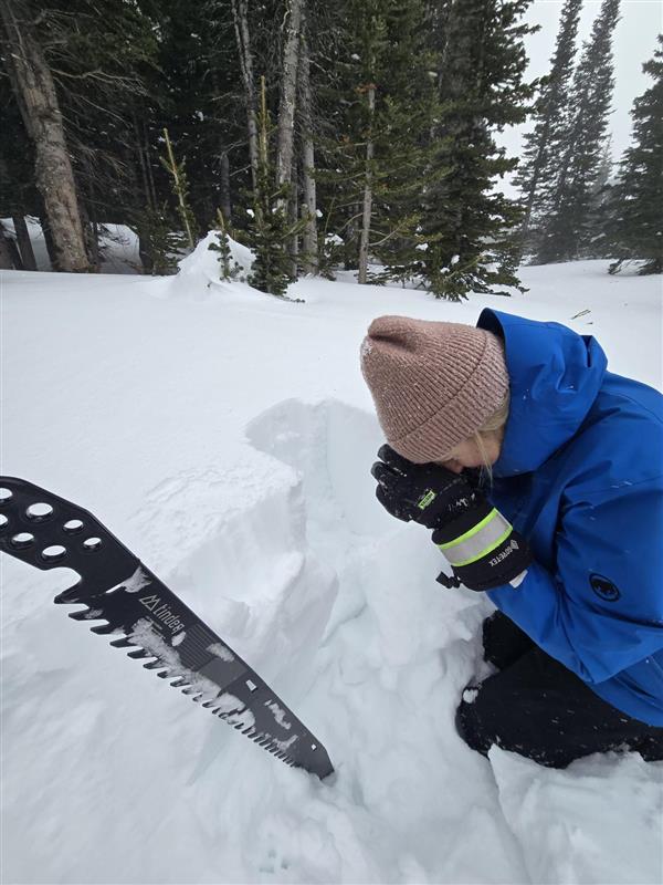
Quick Observation
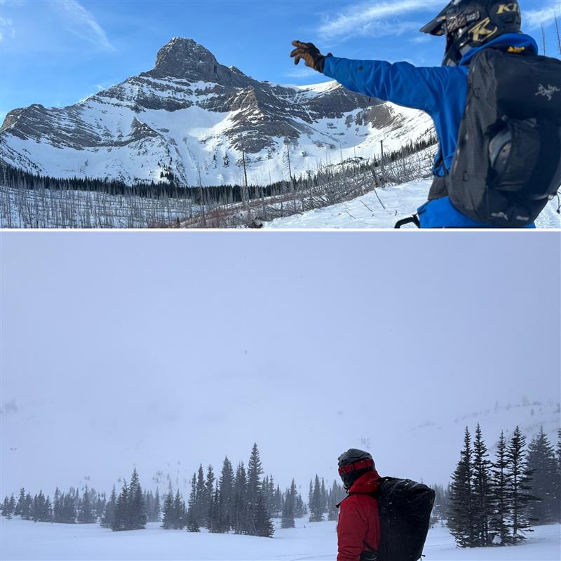
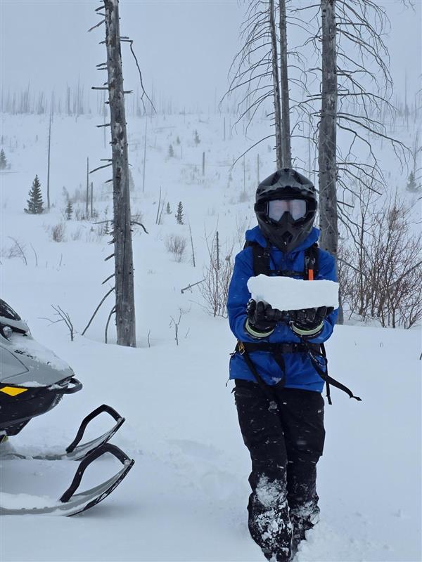
The story today was wind. Over the past week, the Crowsnest Pass has received 40-60 cm of new snow, and the winds have been relatively light. Today, the winds returned, along with isolated convective snow showers in the afternoon. We were met with strong to extreme winds with moderate and intense snow transport. The winds were actively building a slab, and in just 45 minutes our snowmobile tracks had been completely filled back in. There is a significant amount of snow available for transport, creating the possibility for surprisingly large avalanches.
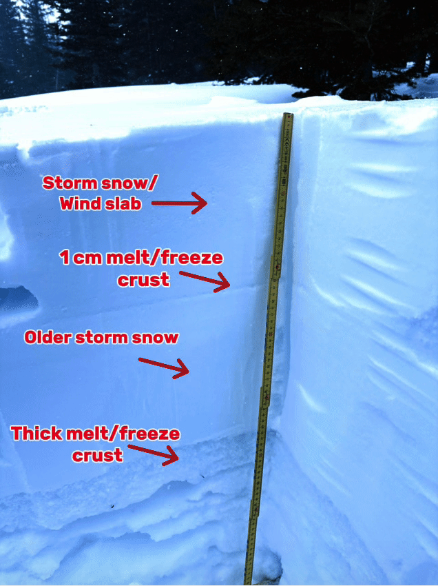
The snowpack in the South York area is 170-220 cm deep at 2000 m. There is 40-60 cm of new snow. On southerly aspects, this sits on a melt freeze crust, while on northerly aspects, this sits on a layer of facets. The mid and lower pack is made up of a layer of fairly well consolidated facets, that are in the very early stages of healing and gaining strength.
Today while in the field we observed no new avalanches, but our visibility was limited by significant amounts of blowing snow.
Photos (4)