Wolverine 2025 12 15
Dec 15th, 2025 11:00 AM
jkruse130
Tumbler
Details
Type
quick
Coordinates
54.904169, -121.433346
Quick Observation
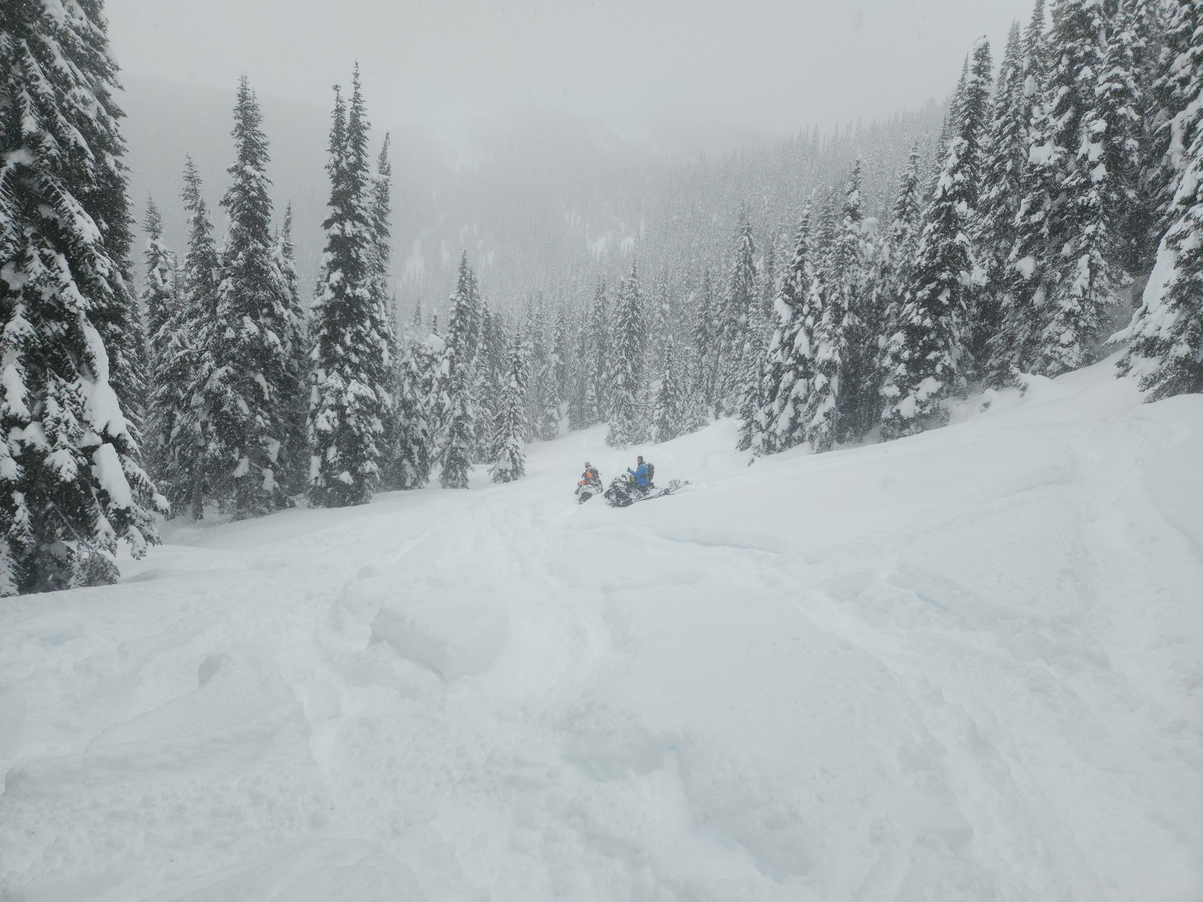
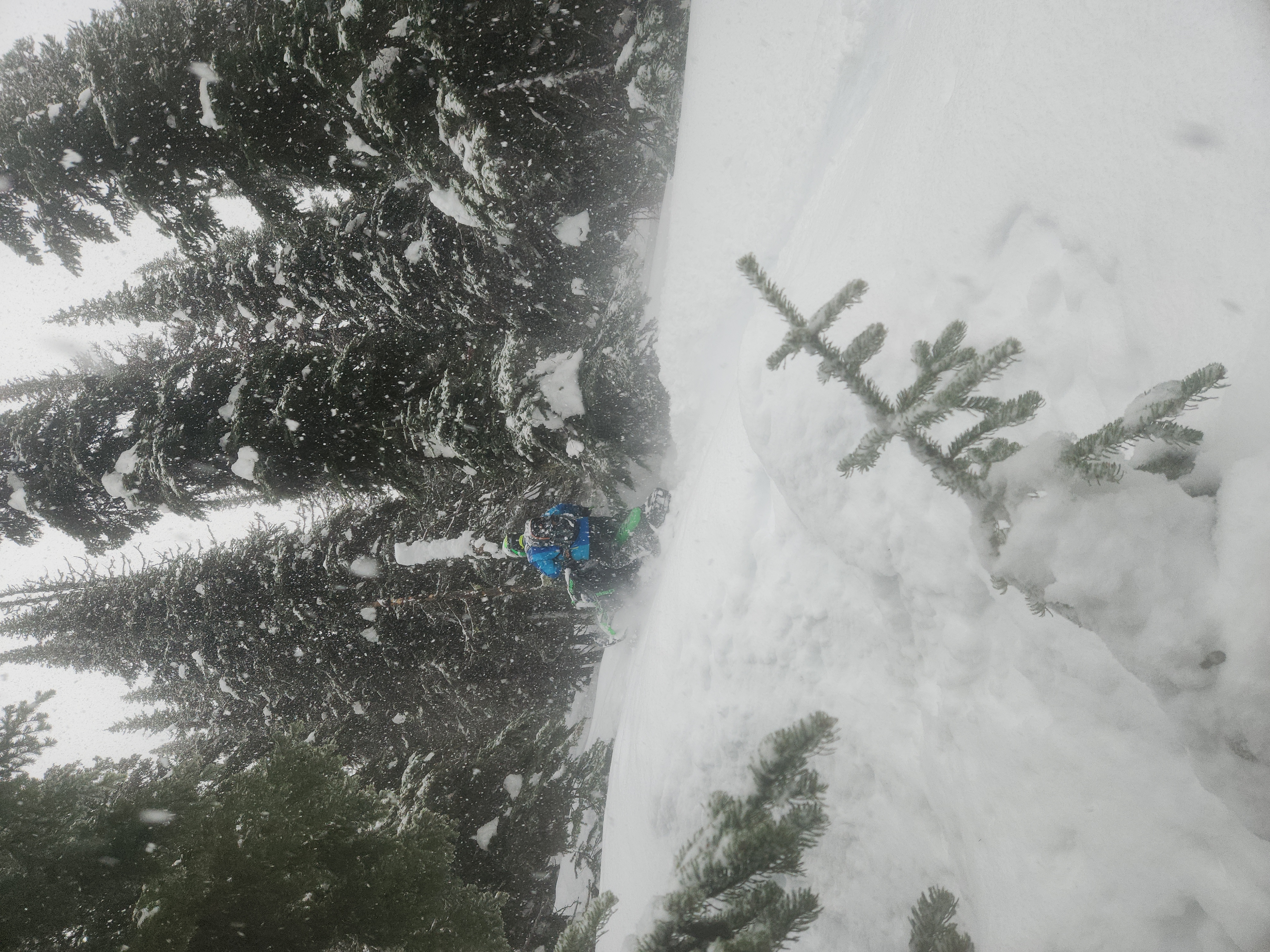
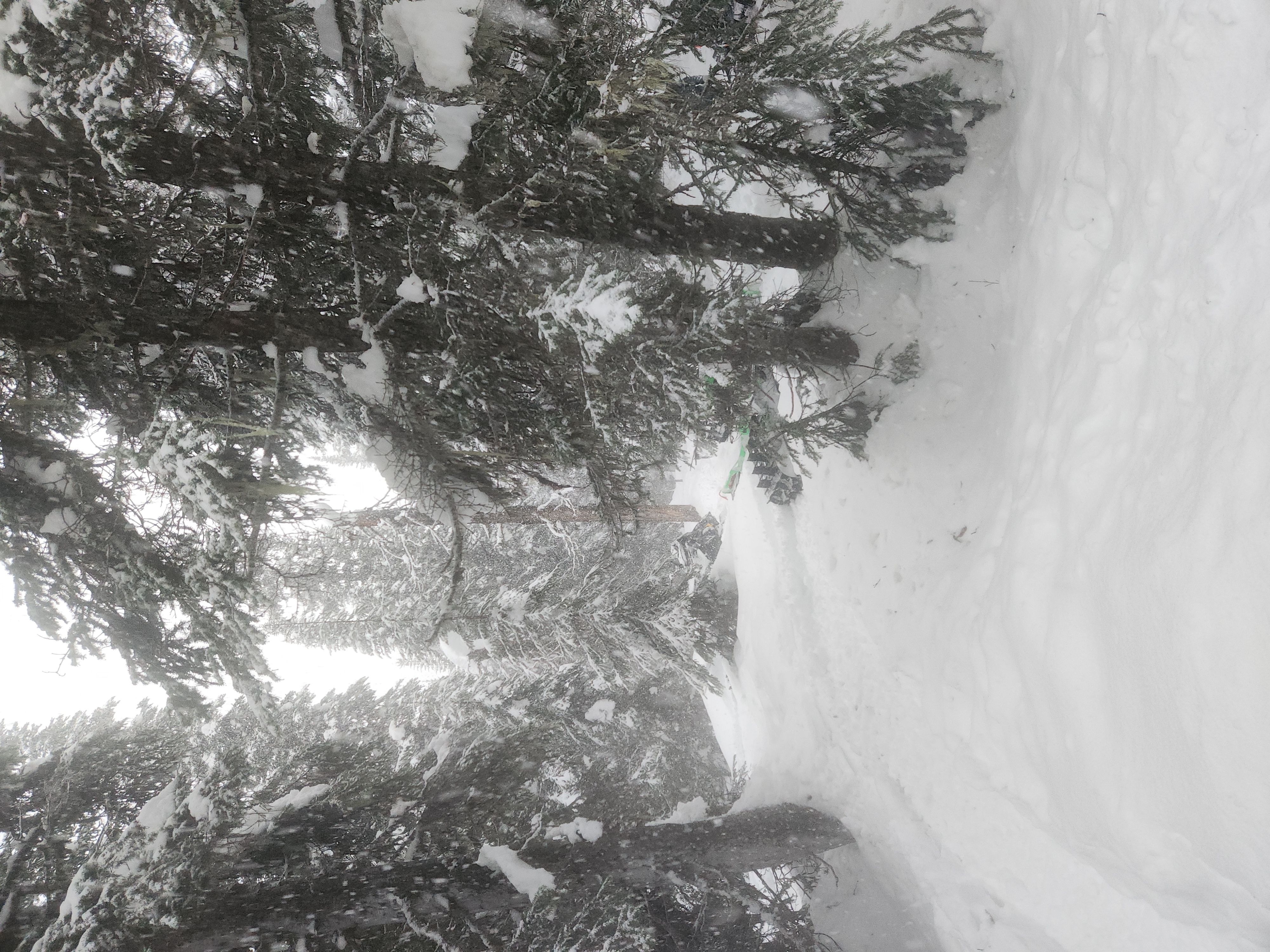
Went into Wolverine from mine side. 60+cm nice blower pow on the trail in. Around 1100m started to see signs of rain event from the 13th, from 1100m to 1300m there is a thick rain crust (>30mm). Above 1300m the top 50cm of the snowpack is wet 4f sitting on top of dryer faceted snow. The snow was getting drier again around 1500m but still had enough moisture to setup like concrete after a few passes.
There was ice pellets from Town up to 1100m where it switched to snow. About 20cm new snow throughout the day.
HS190CM.
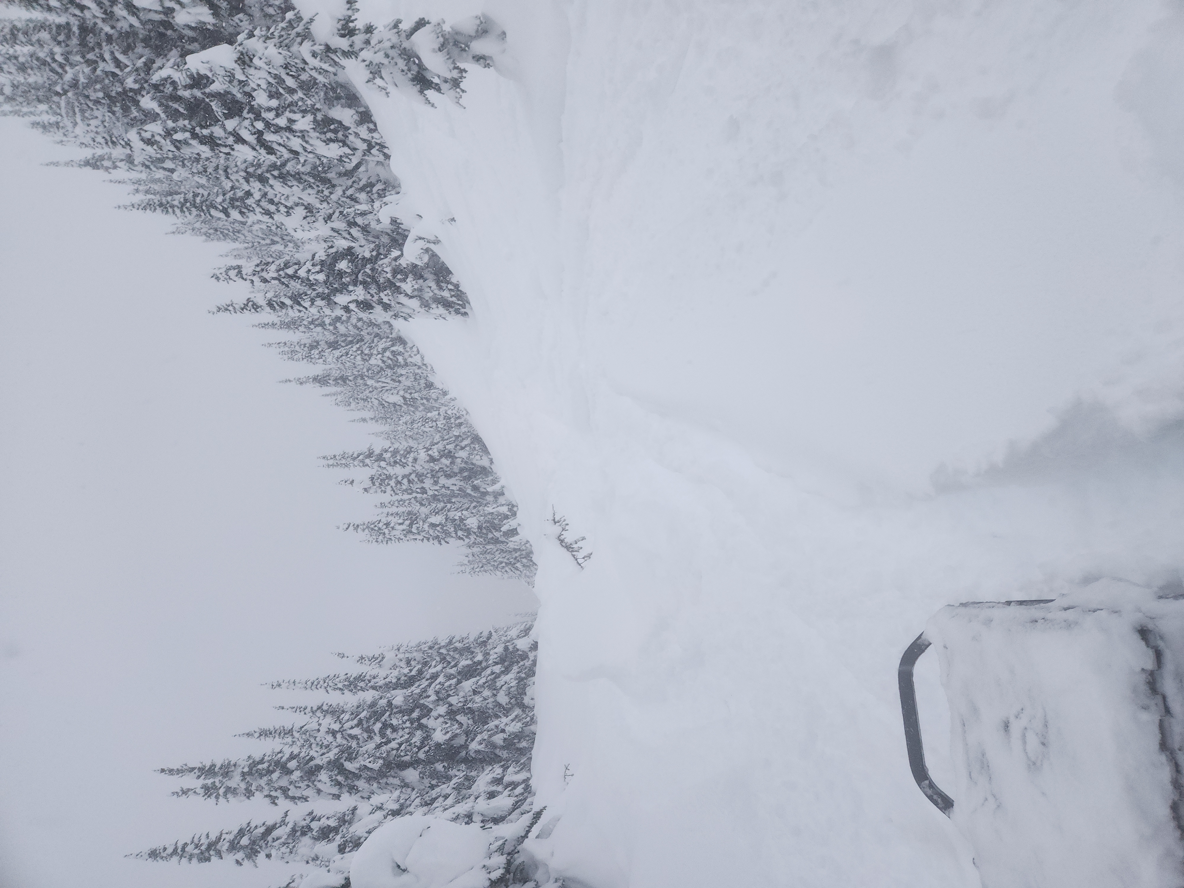
Shooting cracks and whumphs in the creek, 4f slab seems to be fairly cohesive and failing on the F snow below. New snow was sitting on top a thin crust above the 4f slab.
Heard a large avalanche to the west of us likely in the carnage area.
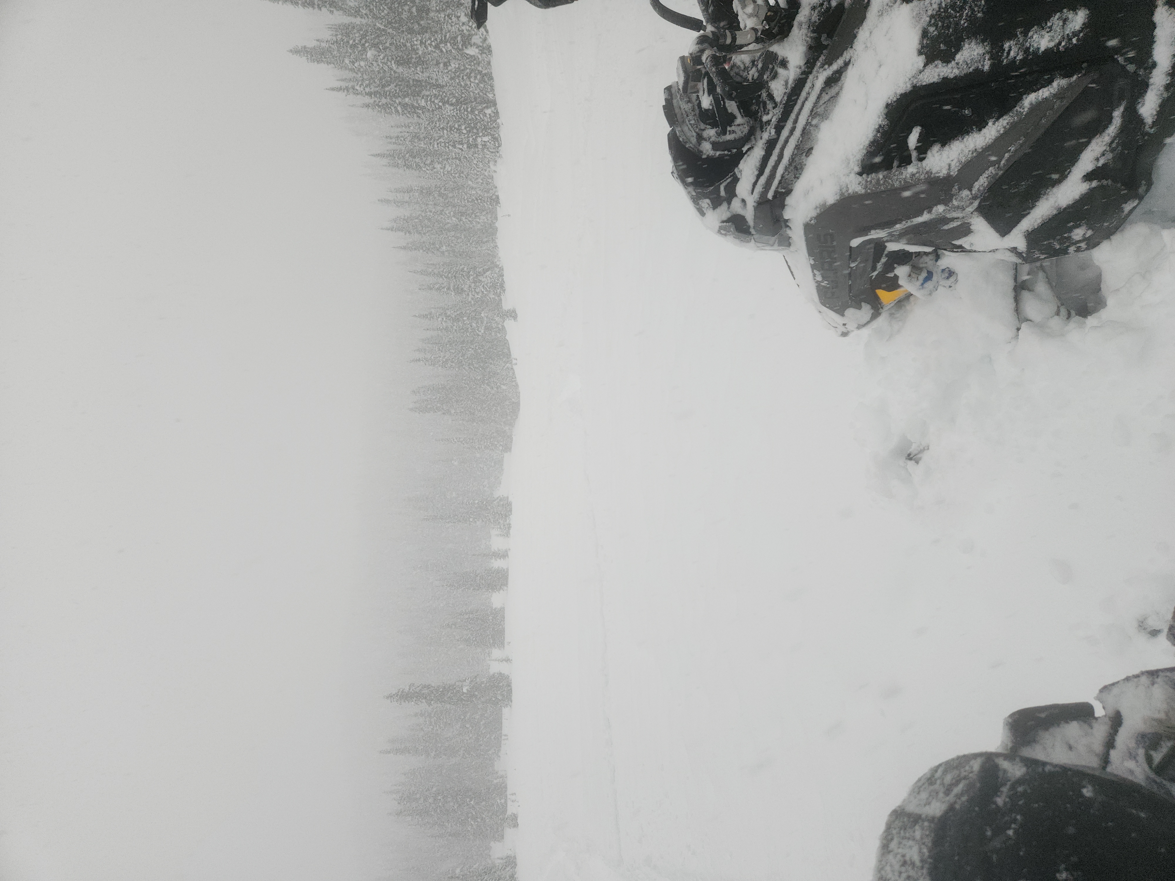
We rode dense tree and creeks all day broke Roger's Pass to Pyramid Meadows.
Photos (5)