
Quick report
Temperatures climbed to above freezing at mid elevations, fresh roller balls formed today, with evidence of some yesterday.
The snow surface is settled powder, not deep, but consolidated with great traction. The snow surface has shown some signs of weaking, but overall weakness after the next loading event should be short lived.
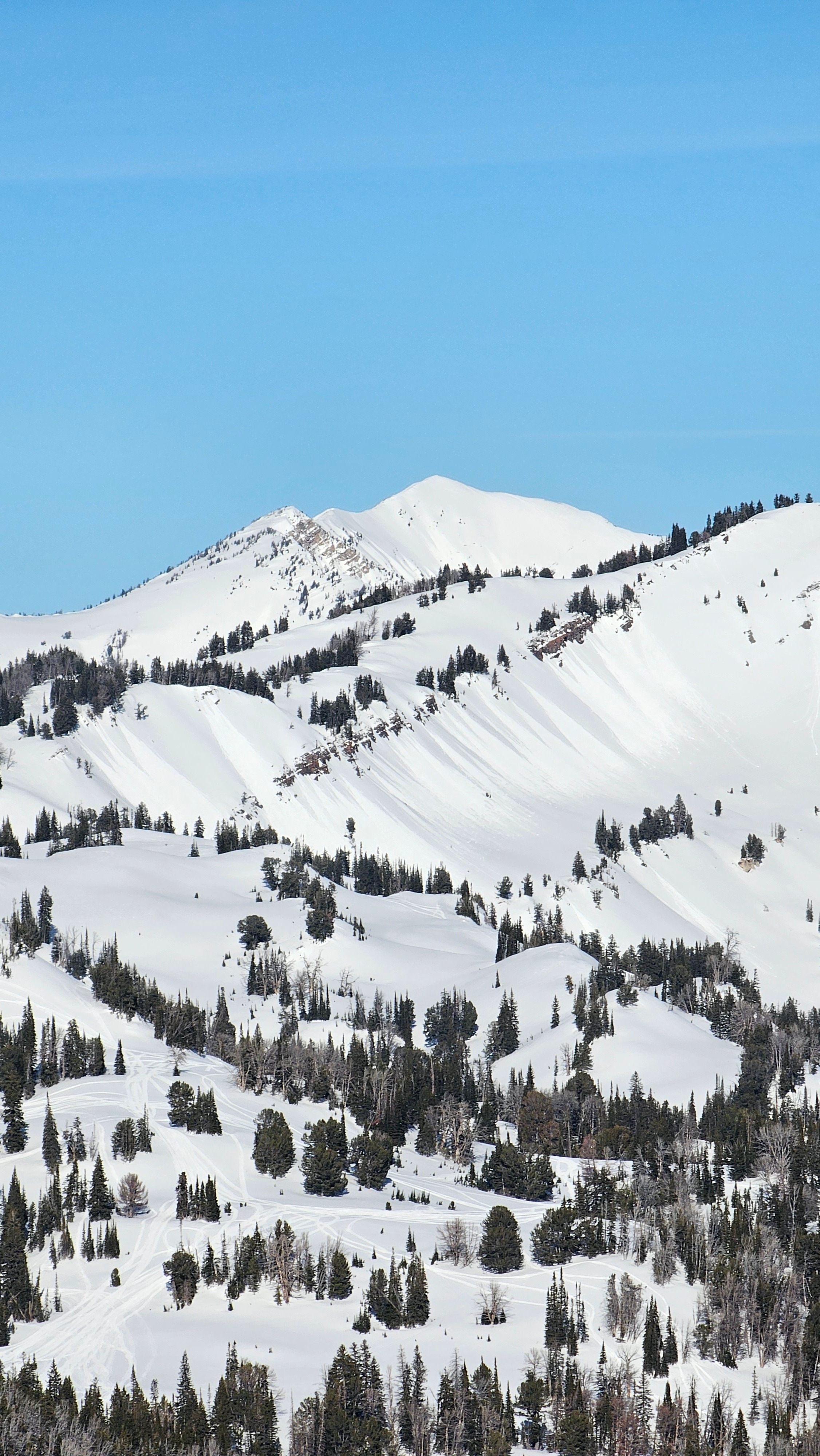
Wind texture exists on many slopes at the upper elevations from strong winds last weekend.
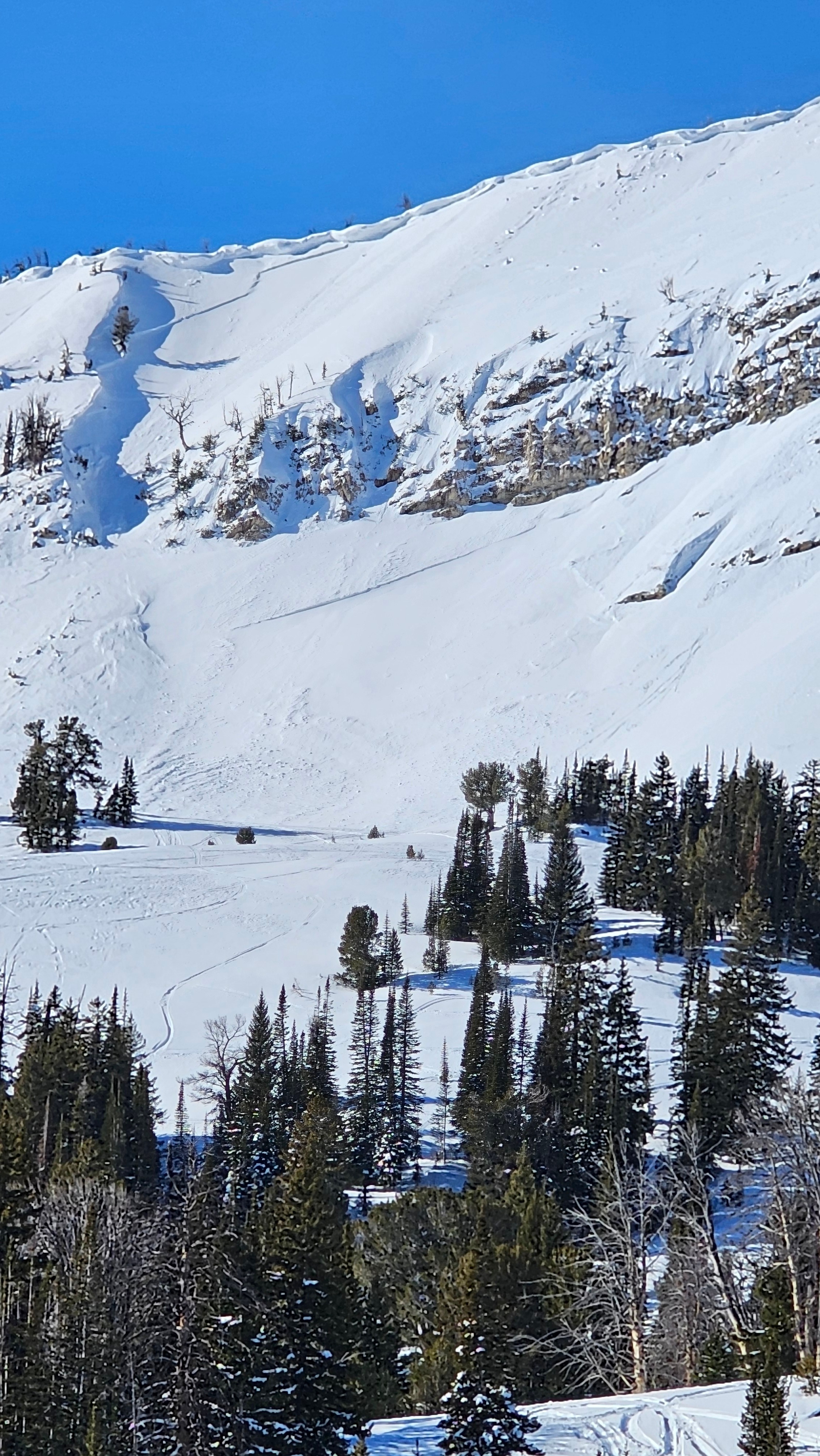
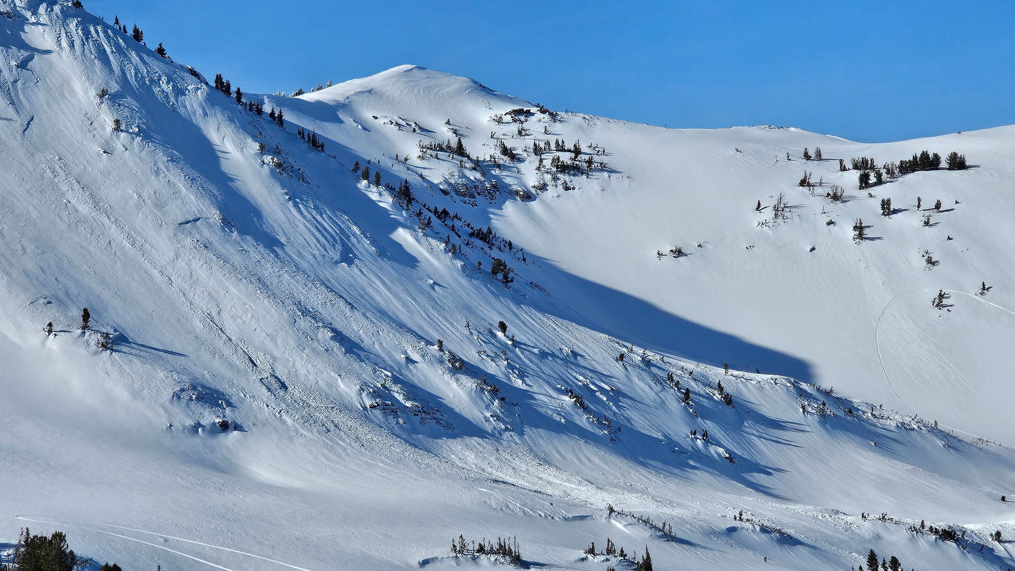
We noted many old avalanches that happened last weekend, all medium sized wind slabs, with one that may have stepped into older layers.
Talking with multiple parties who have been riding all week, none noted any recent avalanches in the last 5 days.
There was a natual avalanche cycle here last week, but today there were no signs of instability.Weather
- Air Temp
- 20s
- Cloud Cover
- few
- Snow Avail For Transport
- small smounts
Beautiful calm day with temps in the upper 20s at mid and upper elevations. Above freezing in areas. Not a lick of wind.
Snowpack
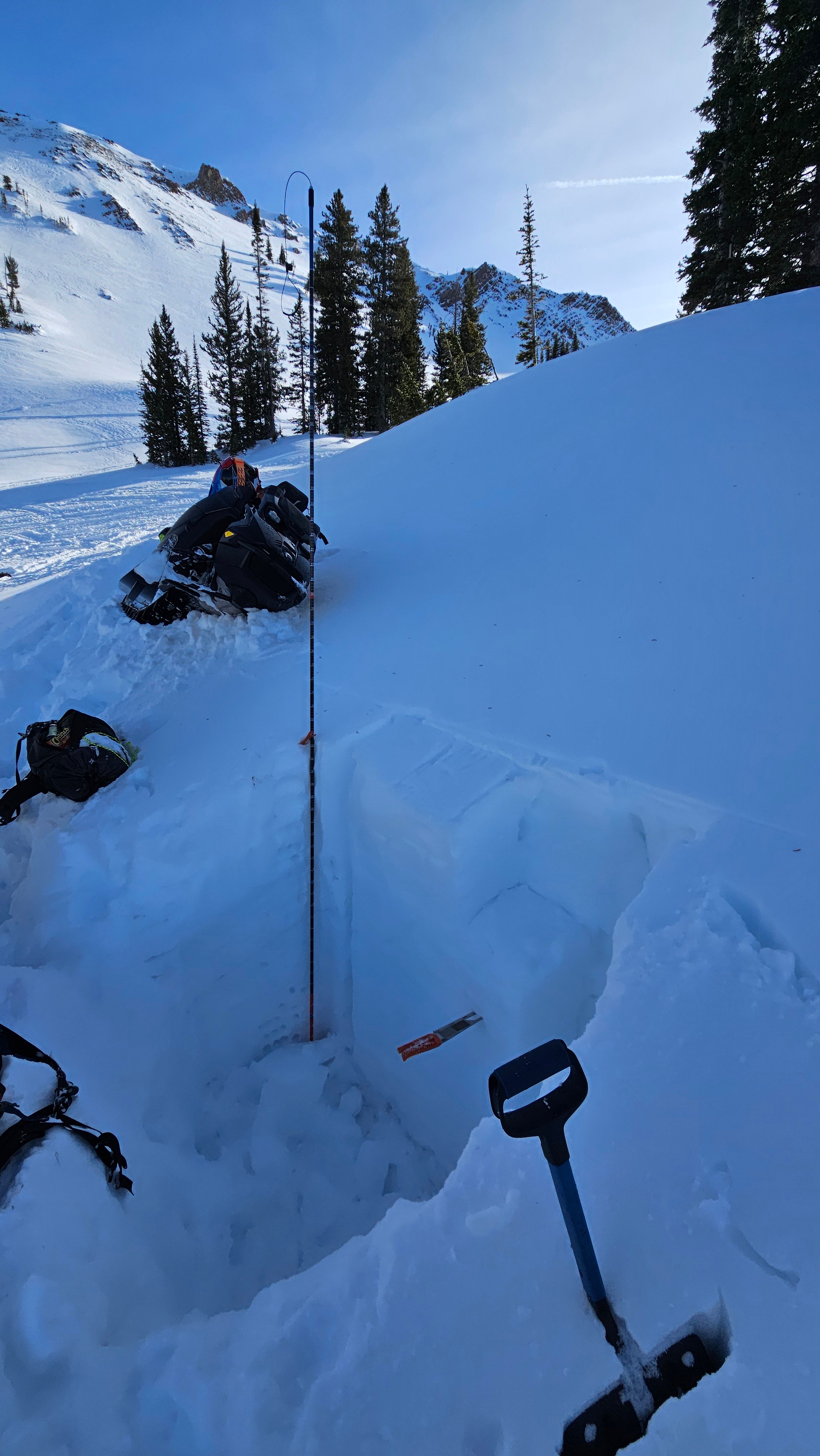
We found a snowpack that has strengthened a lot since I was here a couple weeks ago. The midpack has seen a lot of moisture, but locked up now and is pencil hard. There are 4F+ hard rounding facets at the bottom, they are very moist.
Although there is still some week snow at the bottom it seems very unlikely that anything could impact it with the super cohesive midpack.
The 12/10 rain crust is more pronounced here than anywhere else I have seen in all our zones. There are rounding facets underneath it and the snow on top is very well bonded.
Avalanche
- Size
- D2 R3
- Type
- HS
- Count
- 2
- Aspect
- E
- Trigger
- N
- Elevation
- 9800 ft
Wind slabs that likely occurred 12/27.