
Quick report
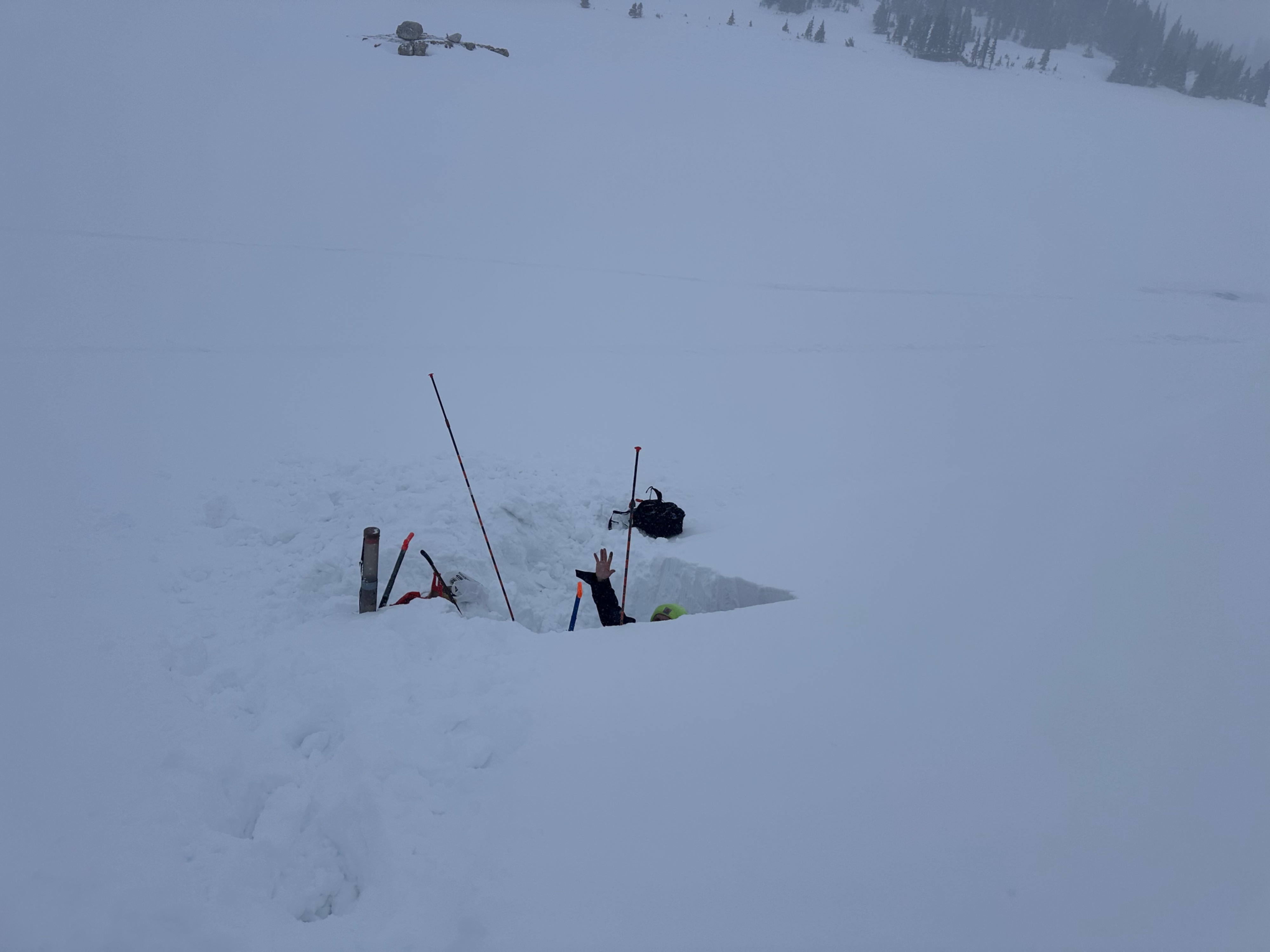
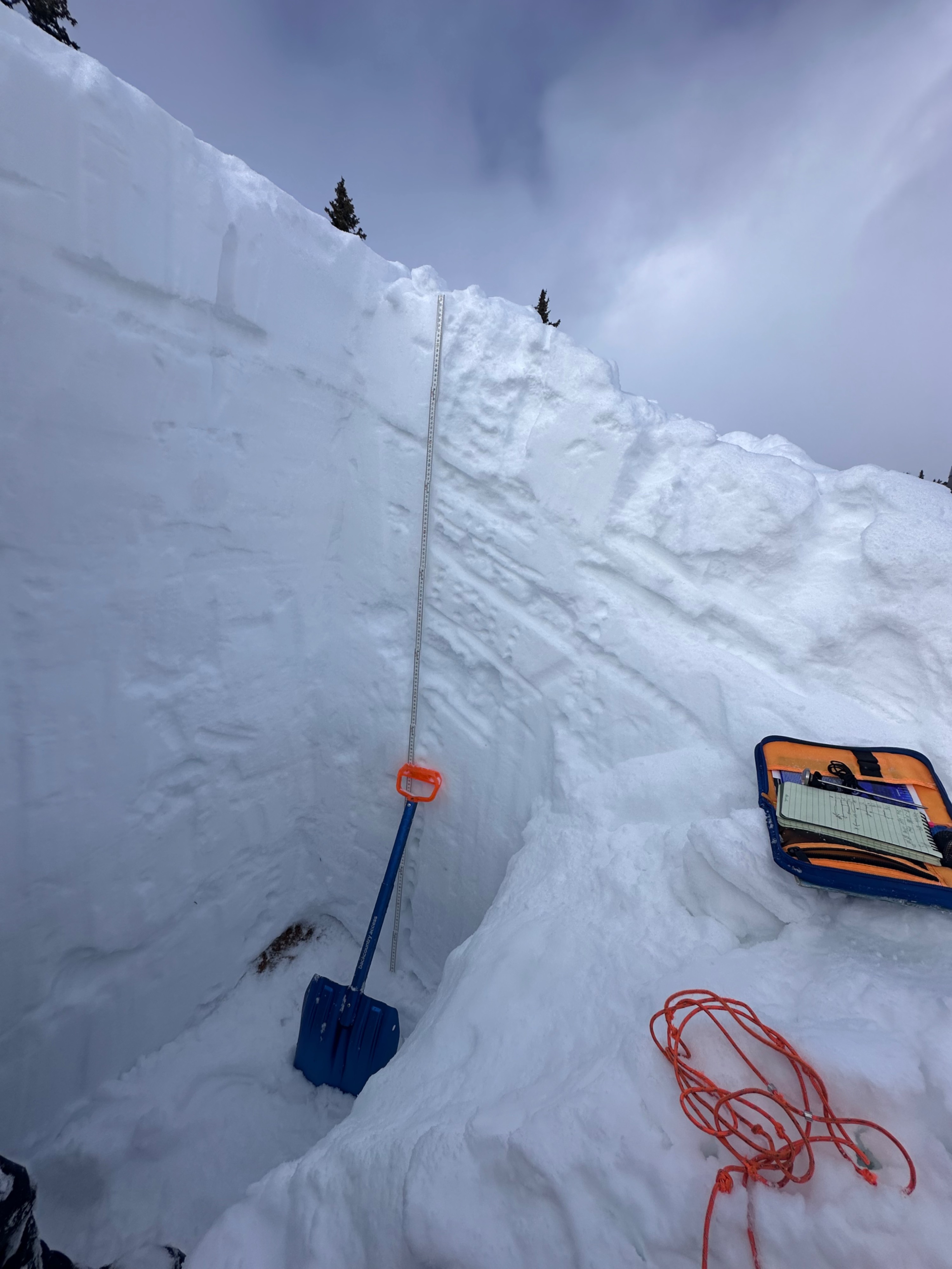
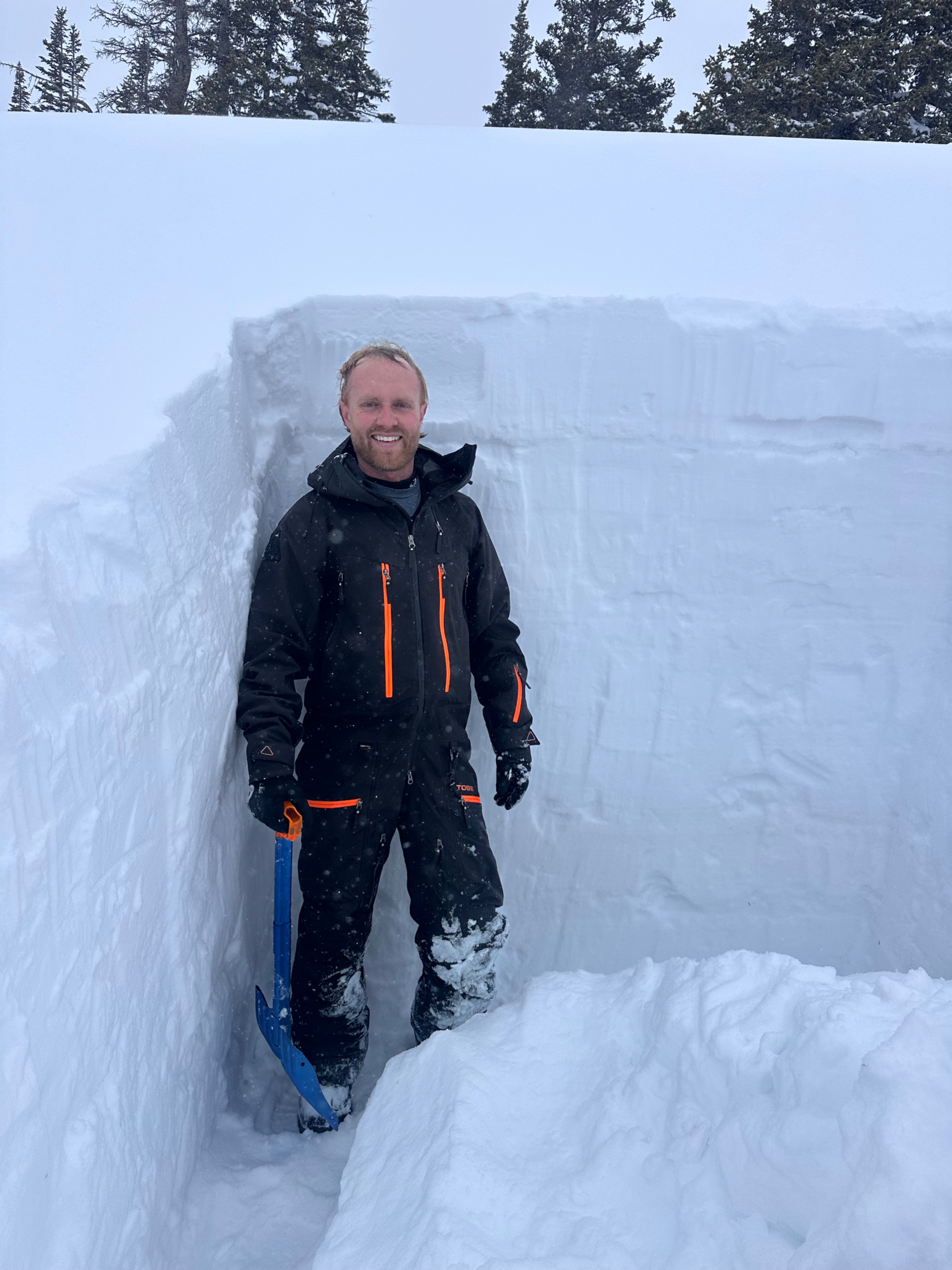
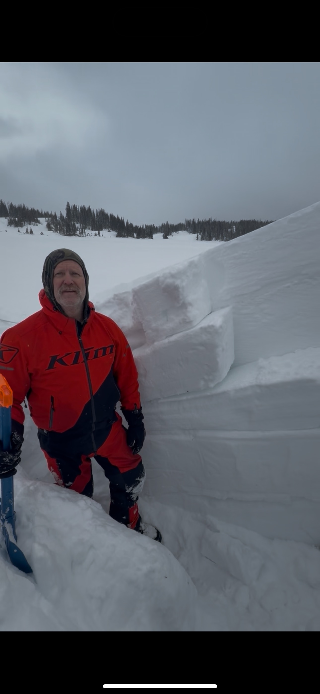
After a major warm up period last week we finally got a refresh storm that added 12-15” of new snow on Wednesday this week. We dug our pit on an east facing slope at 30 degrees around 10,700’ near Libby Lake in the snowy range and we noticed a lot of wind loading. Several wind loaded layers now exist within the upper half of our snow pack. With the addition of the new snow and possibly more next week, we need to be mindful of wind loaded slopes on N/E through S/E aspects. We did get some reaction of the upper layers on our Propagation Saw Test (PST) which shows us that slope angles above 30 degrees should be avoided going forward. We did note that our origininal persistent weak layer (aka Christmas crust) is now getting buried fairly deep in the lower half of our snow pack and hopefully healing but could be an issue if a larger avalanche steps down to that layer.
Weather
- Cloud Cover
- overcast
- Wind Loading
- moderate
- Recent Snowfall
- 30+cm
- Snow Avail For Transport
- moderate amounts
Snowpack
The pit we dug today was on a wind loaded east aspect around 10,700 feet at slope angle of 30°. Two tests were performed, an extended column test (ECT) as well as a propagation saw test (PST). No reaction was seen with the extended column test however we did get a couple of the upper wind loaded layers on the propagation saw test to react. PST 70/150 ARR @87cm was our most reactive layer.