
Quick report
- Cracking
- isolated
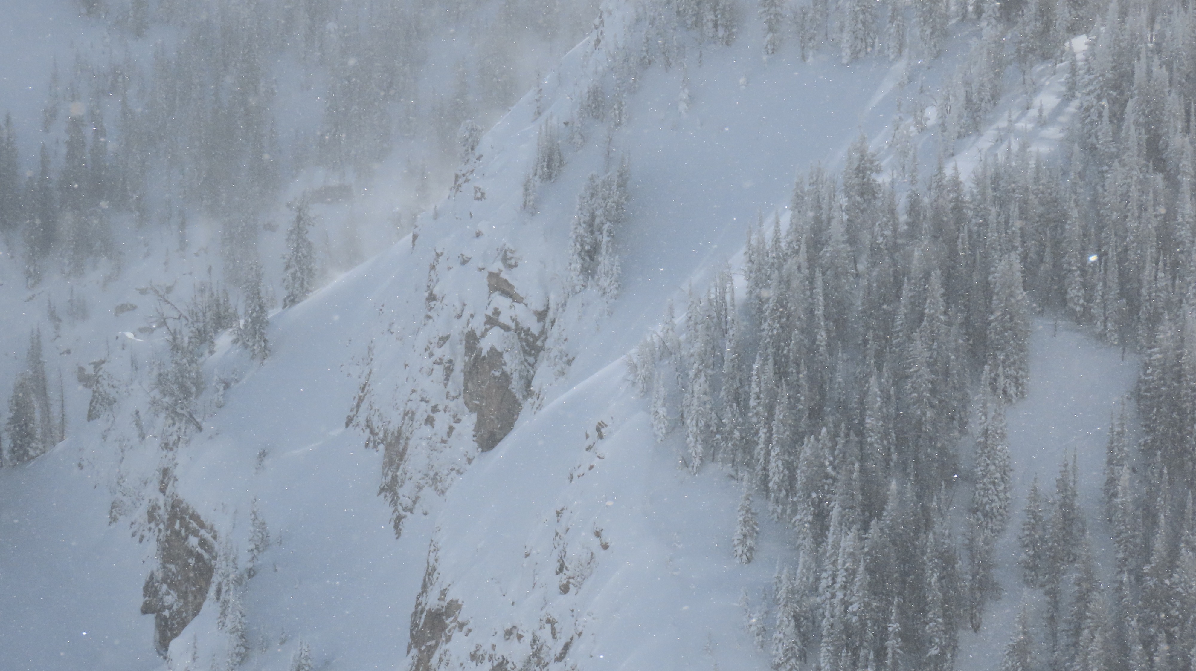
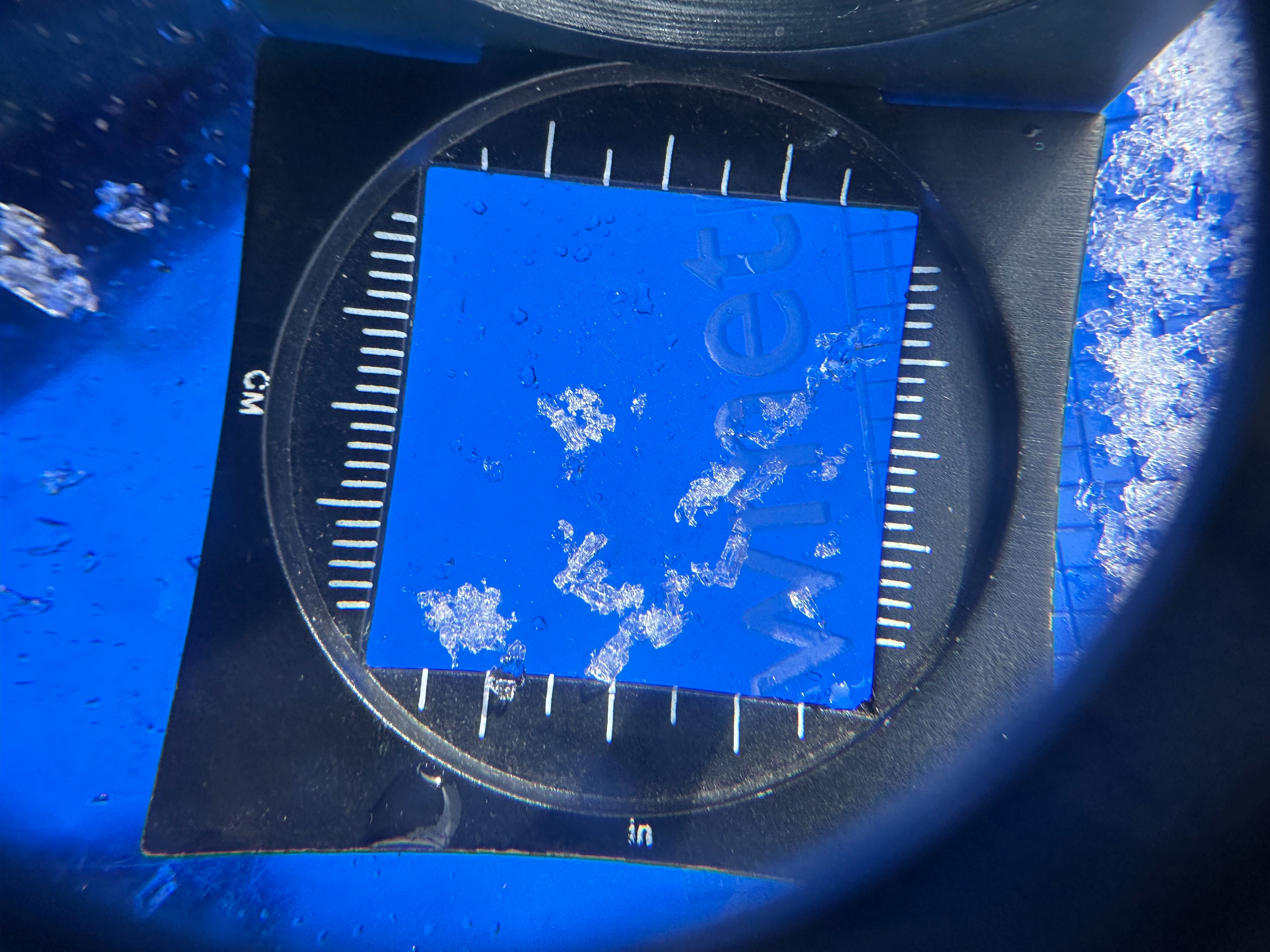
Toured up to explore both N and S upper pack instabilities, with 2-3 inches of fresh snow on top of old crust on both N and S aspects up to 9,000 feet. ECT on a N aspect around 8,500 feet held ECTX results (no noteworthy propagation result). Still, several planar fractures in the upper snowpack on crust/facet combos may hold concern moving forward, with more snow arriving Saturday with high winds. Strong W winds increased throughout the day. Overall, layers deeper in the snowpack and near the base appear strong. In contrast, the top meter (~3 feet) of snow is a smorgasbord of spatially complicated crusts and weak snow that vary greatly between different aspects and elevations. These should be regarded as carefully as a midwinter snowpack and watched moving forward with either more snowfall or warming temperatures, both of which are on the docket within the next week and a half. Several recent storm/wind slab avalanches were noted, primarily on N-NE upper-elevation terrain.
New snow cracking along ridgelines, and some recent but small wind slabs noted in upper elevation terrain.Weather
- Cloud Cover
- broken