Riders between the storms
AvCan Vancouver Island,
Thursday 20th February, 2025 1:00PM
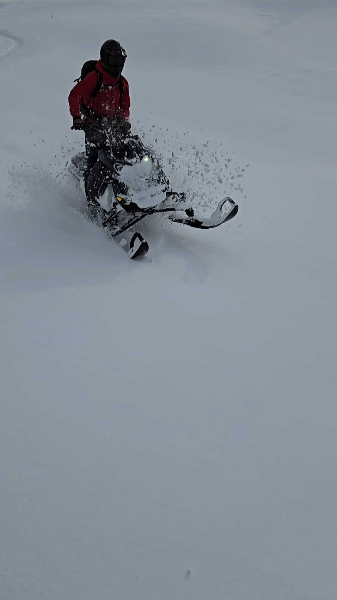
Quick check on the rapidly evolving Island snowpack at Mt Beadnell today. After a couple thousand woops and heavy, uninspiring snow in the cutblocks, we made our way up the chute in probably the easiest conditions you can ask for for that move.
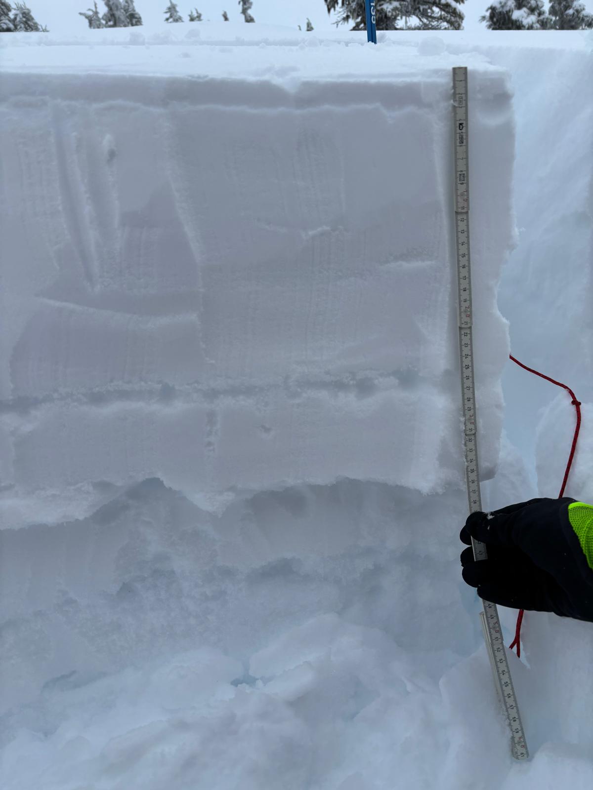
Up top we saw a few fresh natural storm slab releases limited to 20 or 30 cm of our most recent snow, up to size 1. The new snow wasn't reacting much in snowpack tests anymore, but we did see a lot of new wind slabs around - part of what steered us away from the steeper stuff.
The other part of the snowpack still giving us pause is the combo of weak layers about 40 cm deep. These gave us another set of concerning test results, most notably two ECTV results on the surface hoar down 35 cm. The Feb 18 crust was only 1 cm thick at this elevation. While it's certainly limiting avalanche potential on the weak layers below, triggering them still appears possible. It would be an even bigger concern in higher alpine locations.
By early afternoon we were in 0 degree temperatures and snow was becoming moist, especially below about 1400m. Let's hope it helps to bridge the layers below as it cools off and firms up.
More snow on the way!
Location: 49.78266557 -125.55130996