There be sharks in them there hills! 🦈
blount06,
Thursday 4th January, 2024 9:40PM
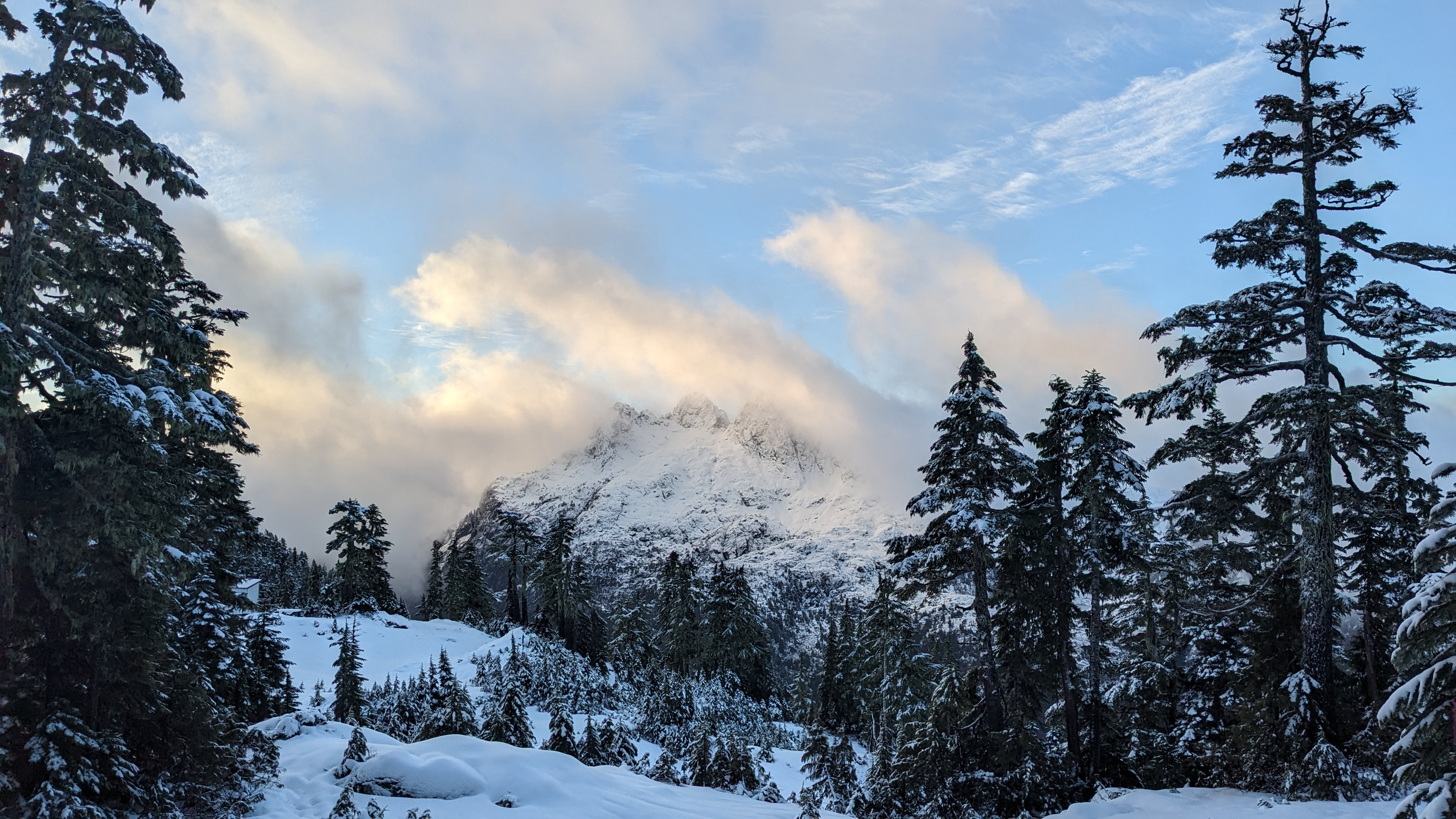
The snow pack was a mixed bag from the 2nd to the 4th. The menu included skinning and poking around the new snow pack... There may have been a turn or two on skinned split... that's how you know it's good.
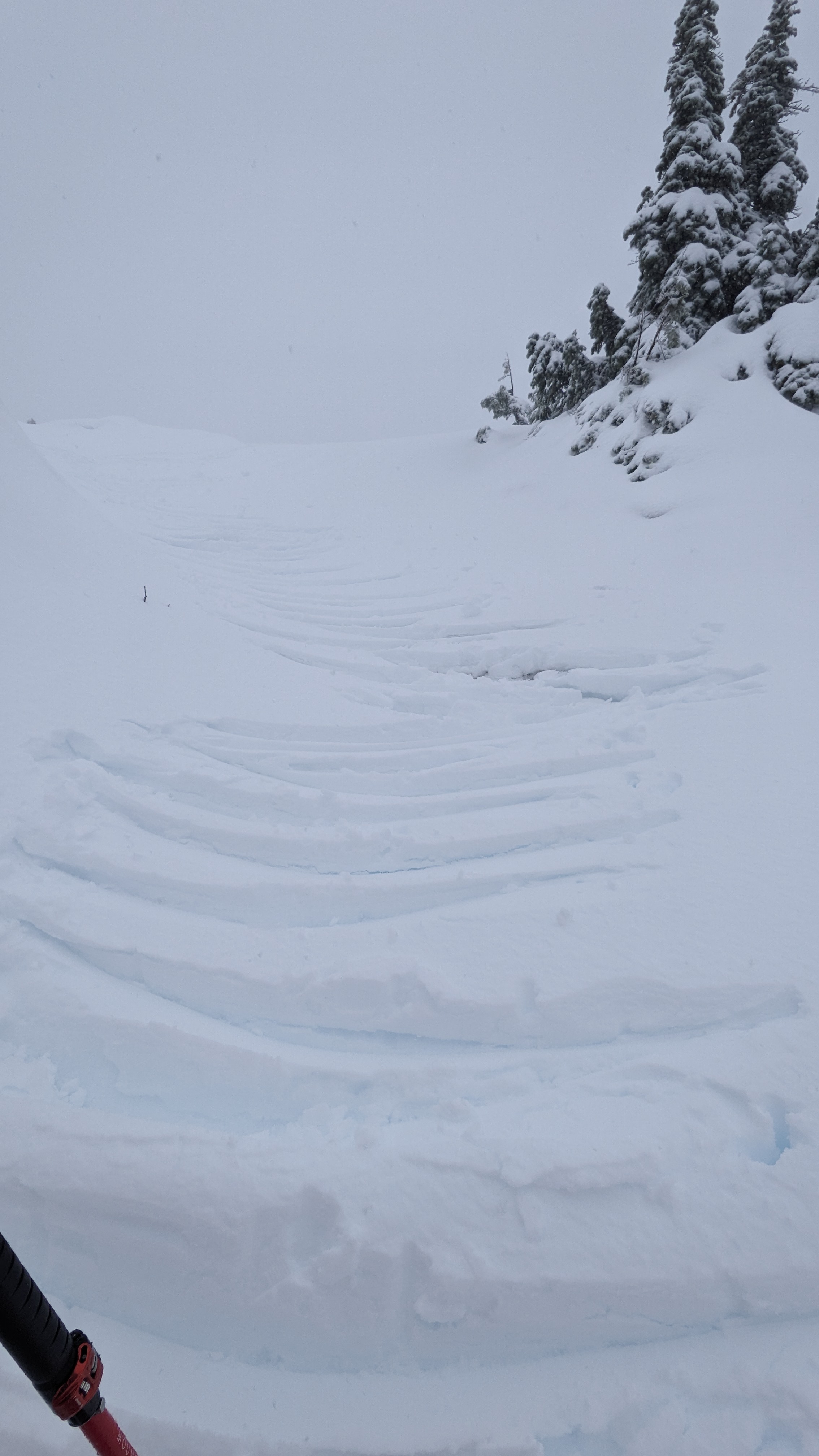
We were mostly on the southern aspect, with deposit from the prior 48hrs varying from 10-100cm depending on terrain and wind deposits. Snow pack varied drastically with fully consolidated snow pack under 5-10cm of new to 100cm penetration all the way to ground in completely unconsolidated wind deposits.
Mid day on the 3rd saw wet loose from rocky features 50+ degrees and small sludgy reactions from the top 10cm of the new snow on the consolidated crust.
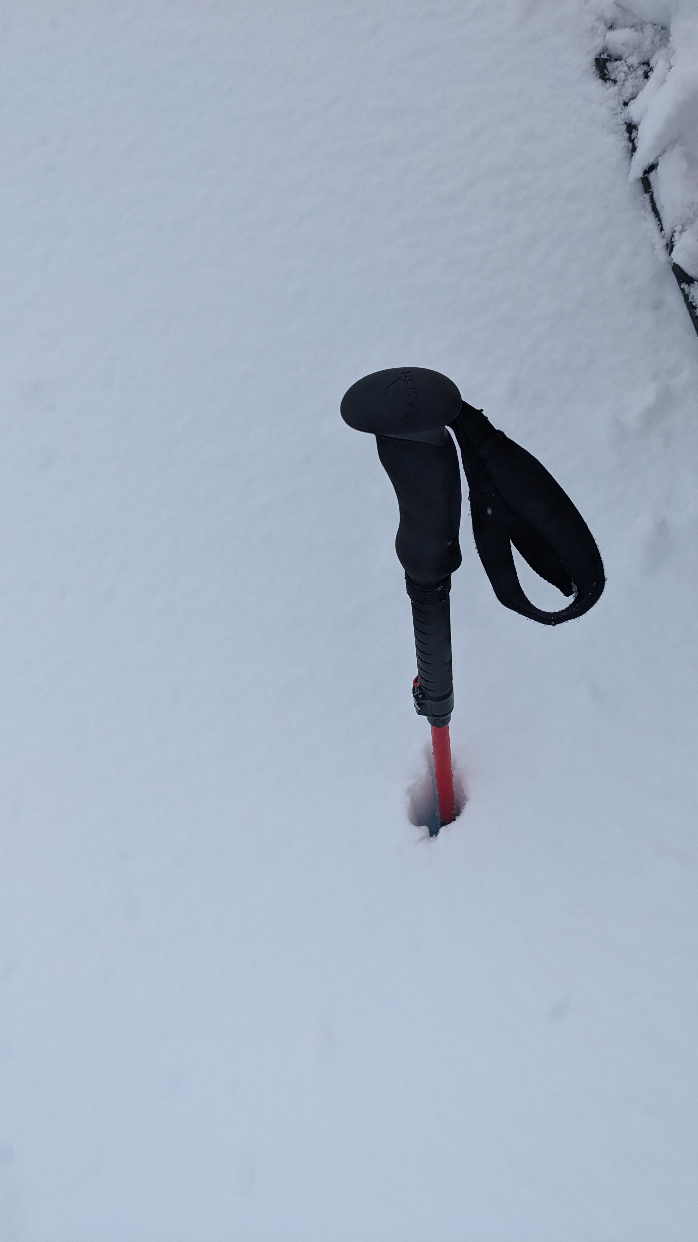
The morning of the 4th saw a 2-3mm ice crust forming on most new snow. Snow line begins around 900-1000m
Throughout the 3rd and into morning of the 4th when snow stopped, freezing levels were up and down, changing from snow to wet snow to snow/rain, and back in a 24 hr period.
Location: 49.18978563 -125.28658379