
Quick report
Active, widespread wet loose avalanches on the drive this morning through Hoback Canyon on multiple aspects. Warm out there this morning.
At Granite Creek (7000 feet), 4-5 inches overnight on top of about 10 inches of storm snow since Friday. Overall, more snow than expected at low elevations. This will be something to keep in mind down the road - specifically a new slab settling on top of last week's crusts with more incoming snow this week. If you are out there riding low elevations this week, watch for shooting cracks and collapsing - sure signs of the weak layer below the recent storm. Dig down or probe to investigate how deep the snow is and remember that avalanches are more easily triggered in areas where the snowpack is relatively thin.
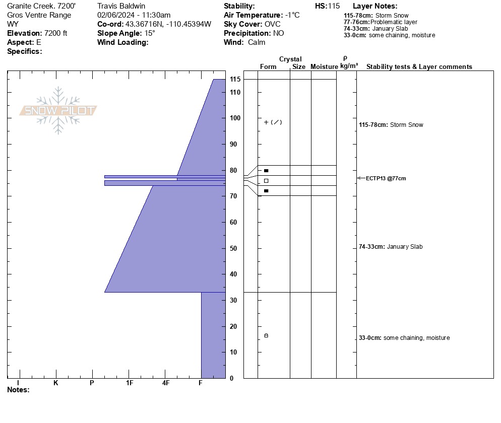
Dug at 7200 feet on a very low angle slope with a slight east aspect.
ECTX13 down 15 inches on the new/old interface at the crust. The facets surrounding the crust 15 inches down are weak, and when the new storm snow settles into a cohesive slab there could be trouble.
Weather
- Air Temp
- 32
- Cloud Cover
- overcast
- Wind Loading
- none
- Recent Snowfall
- 4-5 inches overnight, HST 15 inches