Burstall Pass - better than expected, considering...
Dec 10th, 2023 5:00 PM
intothineyre
Field
Details
Type
quick
Coordinates
50.759480, -115.370250
Quick Observation
Went out with very low expectations and indeed saw much sign of wind scouring anywhere wind exposed and a below normal thin snowpack. Snow cover on main access trail is decent enough though. Uphill section in forest up to meadows is thin and a bit scrapped. Improved snow depth above 2100 m (relatively). ATL / 2300 m snow was very wind affected and slabby, so did not bother going to the pass. Surprisingly decent enough powder in sheltered trees in a narrow elevation band around 2200 m +/-. In addition to CT results, a ski cut on a short steep convex roll at ~2150m elevation did shear off the top ~25-30 cm consolidated snow layer down to the underlying supportive crust.
Weather
SW winds were strong in the morning but moderated around mid-day. Some low cloud with reduced visibility (~1 km) near the pass.
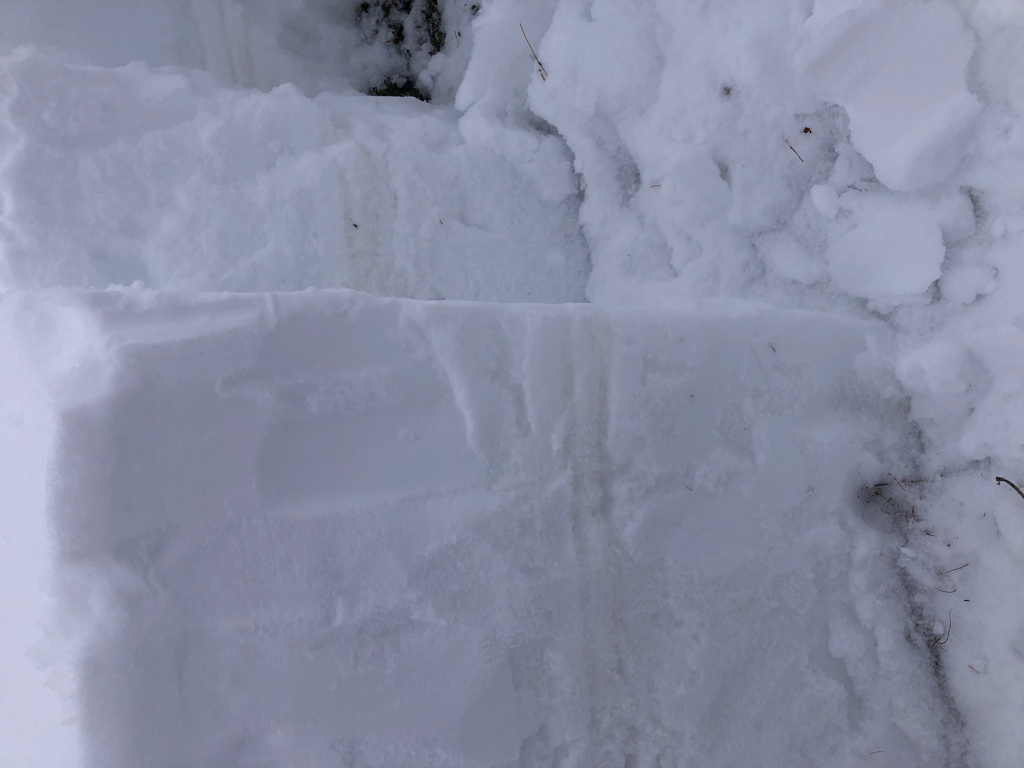
Snowpack
Fist down to 80 cm
4F to 55 cm
K to 51 cm
1F to 48 cm
2 x 1 cm ice crust layers (K) to 41 cm with 3 cm 1F in between
1F to 21 cm
4F to ground
1st test column:
CTM 2 resistant @ 75 cm
CTM 10 SC on bottom facets (<20 cm)
2nd test column:
CTE 10 at 75 cm
CTM 2 SC on bottom facets (<20 cm)
Photos (1)