
Avalanche danger
- Alpine
- Early season
- Treeline
- Early season
- Below
- No rating
Forecast issued yesterday · valid to Oct 15
Published by Avalanche Canada
Current forecast
Highlights
Fall is here along with cooler temperatures and snow in the high alpine. Pay attention to local snow amounts and watch out for deeper accumulations in alpine lee and gully features.
Regular forecasting will begin November 1st.
Snowpack Summary
The early season snowpack is typically thin and widely variable, presenting deep drifts and areas scoured to the ground. Localized pockets of wind slab are common, meaning it can be easy to step from dry ground into a windslab, so watch carefully for these pockets of snow
Weather Summary
For current weather conditions, see the telemetry stations on the Avalanche Canada map page.
For weather forecasts, check out Environment Canada's products for Banff, Kootenay and Yoho.
For weather maps, graphics and satellite images check out the Mountain Weather Forecast.
For a technical weather forecast check out SpotWx
Forecast trend
Recent observations
All observationsSpindrift down PilsnerQuick report
Quick report7 months agoiwelsted
Spindrift over Pilsner Quick report
Quick report7 months agoiwelsted
Mt. Cathedral and Mt. Stephen Avalanche Control Thursday January 15thConditions report
Conditions report9 months agoACMG Guide
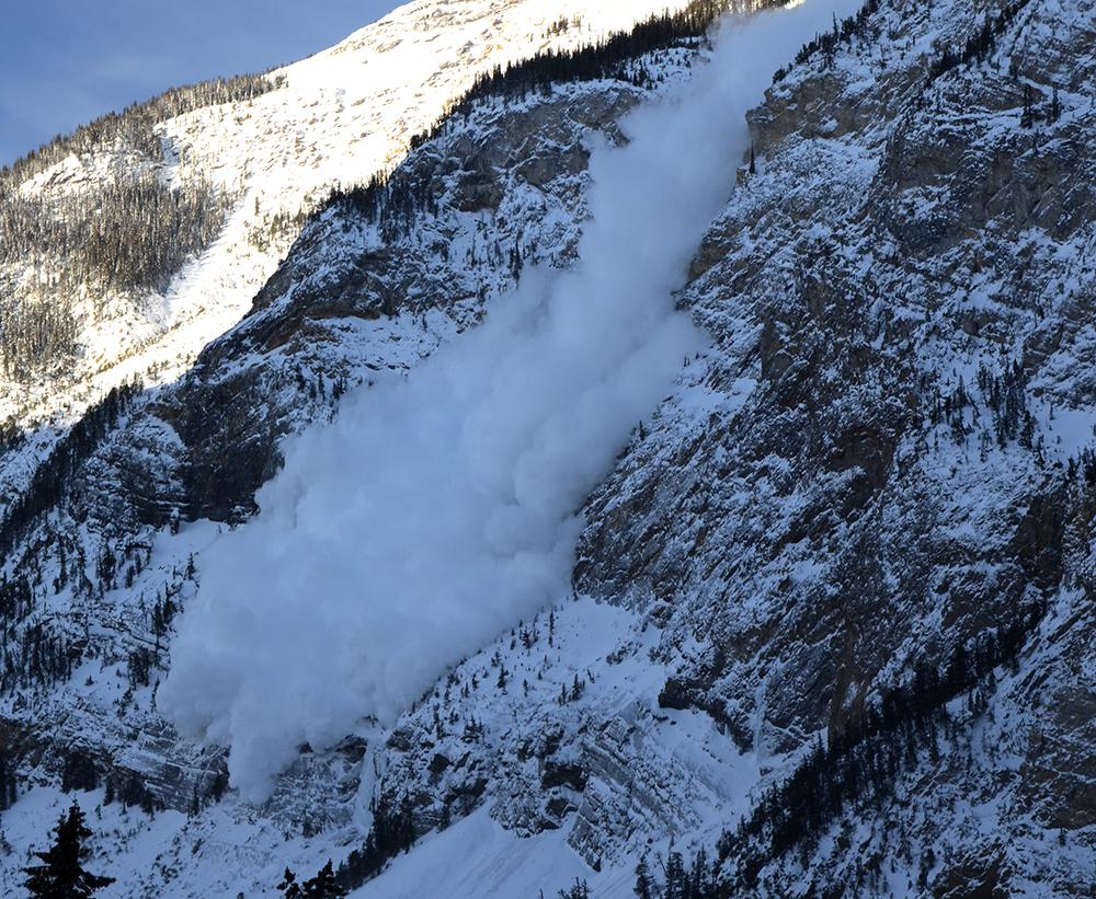
Avalanche Control - Mt Bosworth, Stephen, Field & Dennis - Jan. 14th, 2026Conditions report
Conditions report9 months agoACMG Guide1
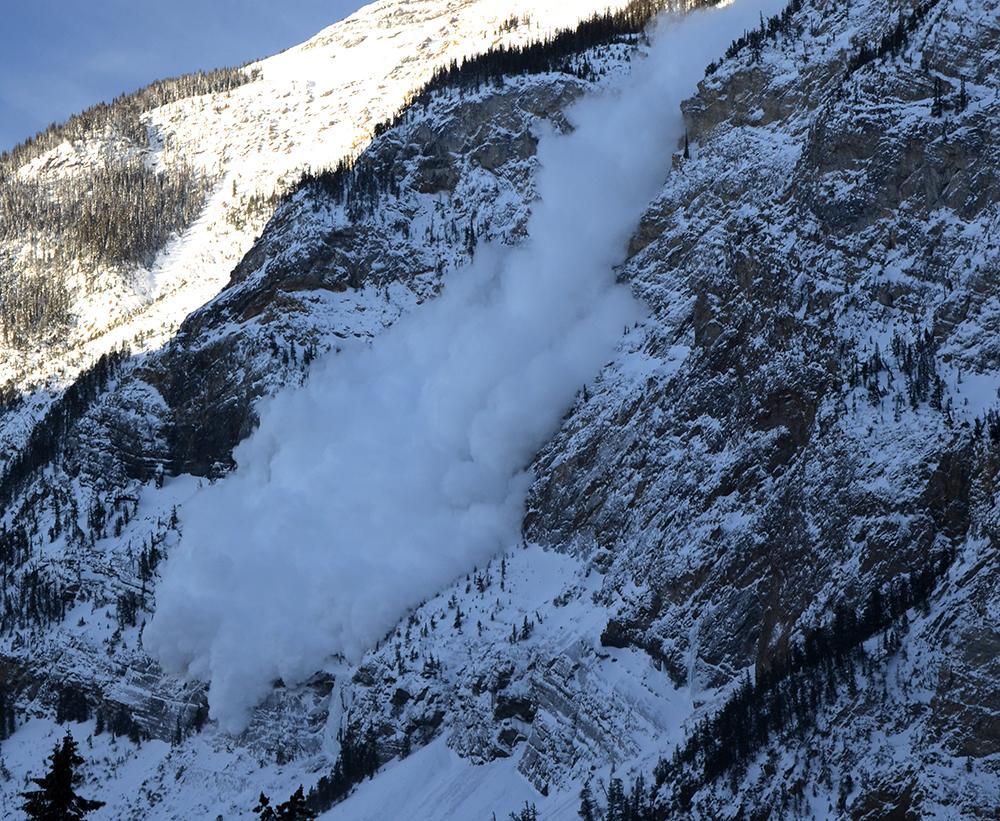
Avalanche Control -YOHO National Park- Closure of Mt Bosworth, Cathedral Mountain, Mt Field and Mt Stephen on Friday December 19 , 2025Conditions report
Conditions report9 months agoACMG Guide1