
Quick report
Headed down south to check on the snowpack in the Salt River Range. Felt like winter again with some fresh snow and cold temps. There was about 3" of low-density new snow leaving the car and about 6” at 10,000'. Little to no wind effect. Loose snow sluffing was observed on steep shaded slopes but no wind slab formation. Cold temperatures were keeping the new snow surface dry despite the sunny conditions. Snow depths increase from about 2’ at 7,500’ to 4-5’ at 10,000’. A supportable crust is present below the new snow on all elevations up to 8,500’ and on southerly aspects above that.
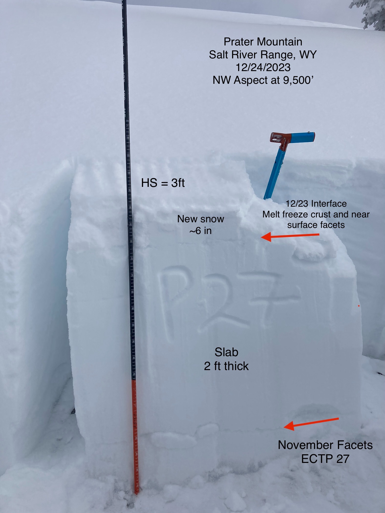
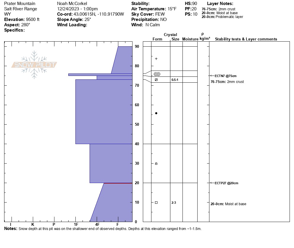
Overall, the snowpack structure varies significantly by aspect. Southerly aspects have little to no weak November snow at the base of the pack and a relatively stable structure. Aspects with a northerly tilt at the upper elevations have well preserved facets from November and pit results still show potential for propagation. I did not observe any new avalanche activity, but plenty of old ski tracks in steep north facing terrain.
Weather
- Air Temp
- 15
- Cloud Cover
- few
- Wind Loading
- none
- Recent Snowfall
- 15
- Snow Avail For Transport
- small smounts
Clear and cold down south with a cold breeze blowing from the north.
Avalanche
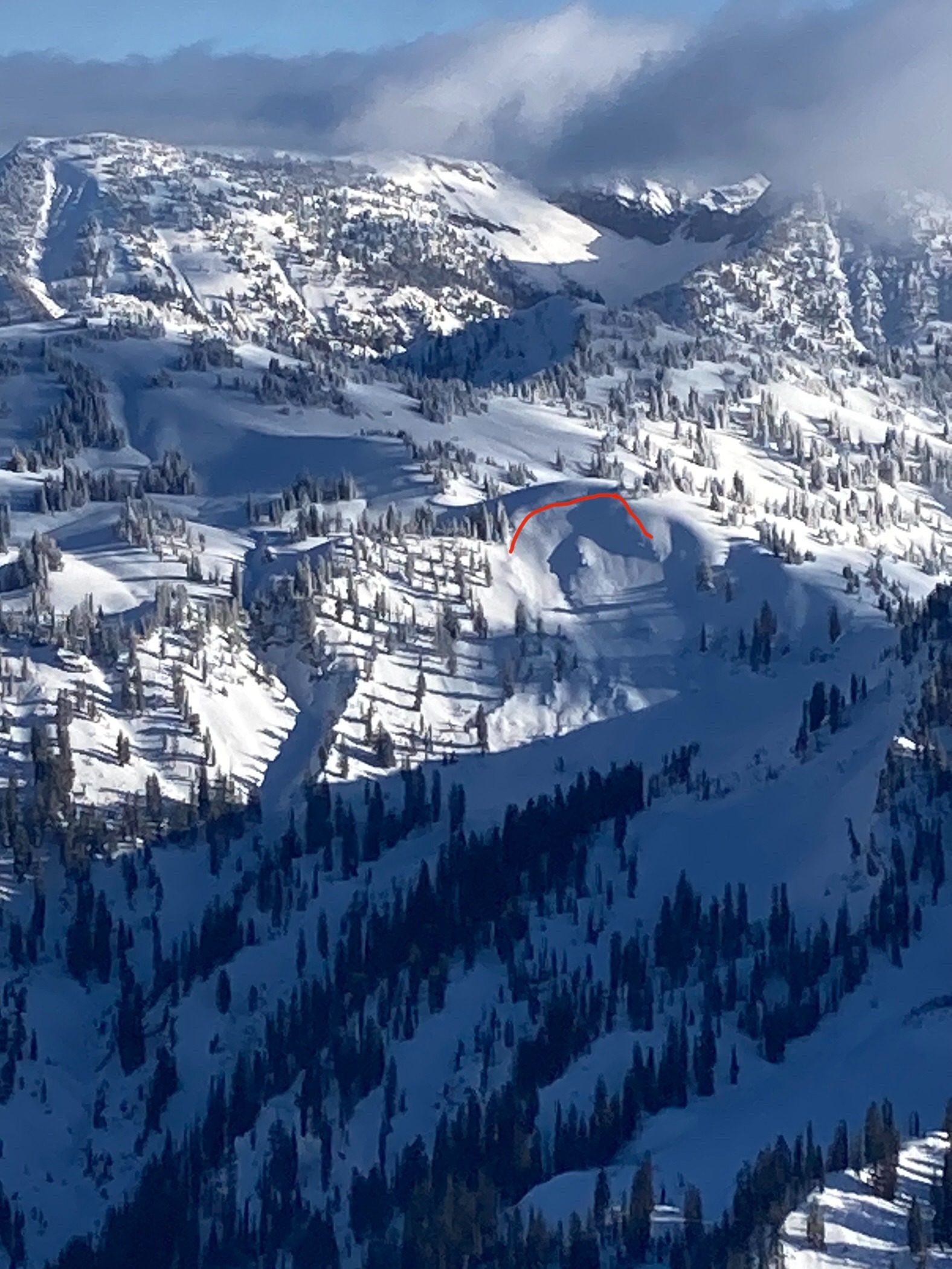
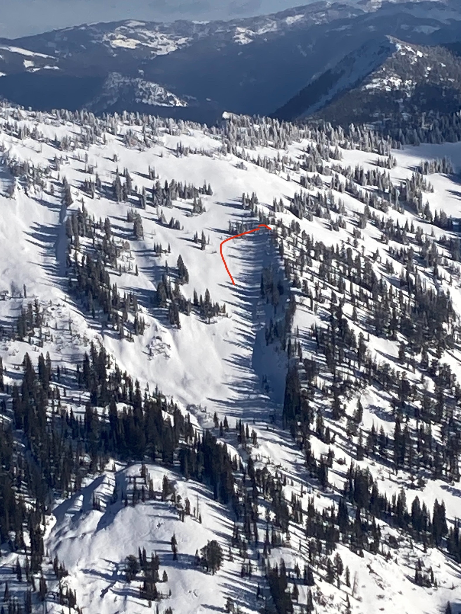
Observed several old avalanches that likely ran during the last loading event (12/8-9) in the Murphy Creek Drainage.