
Quick report
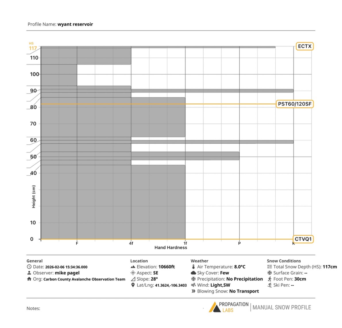
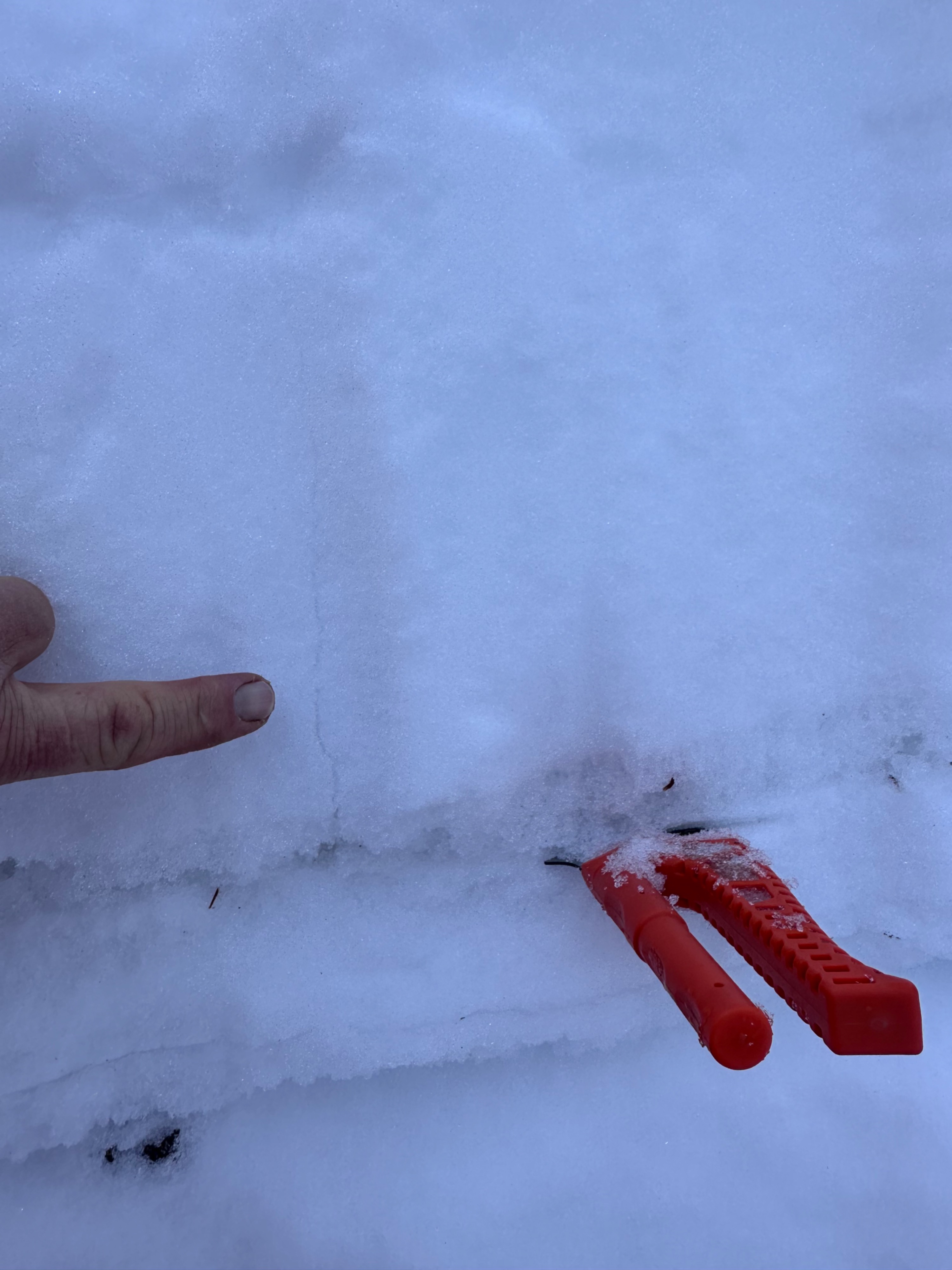
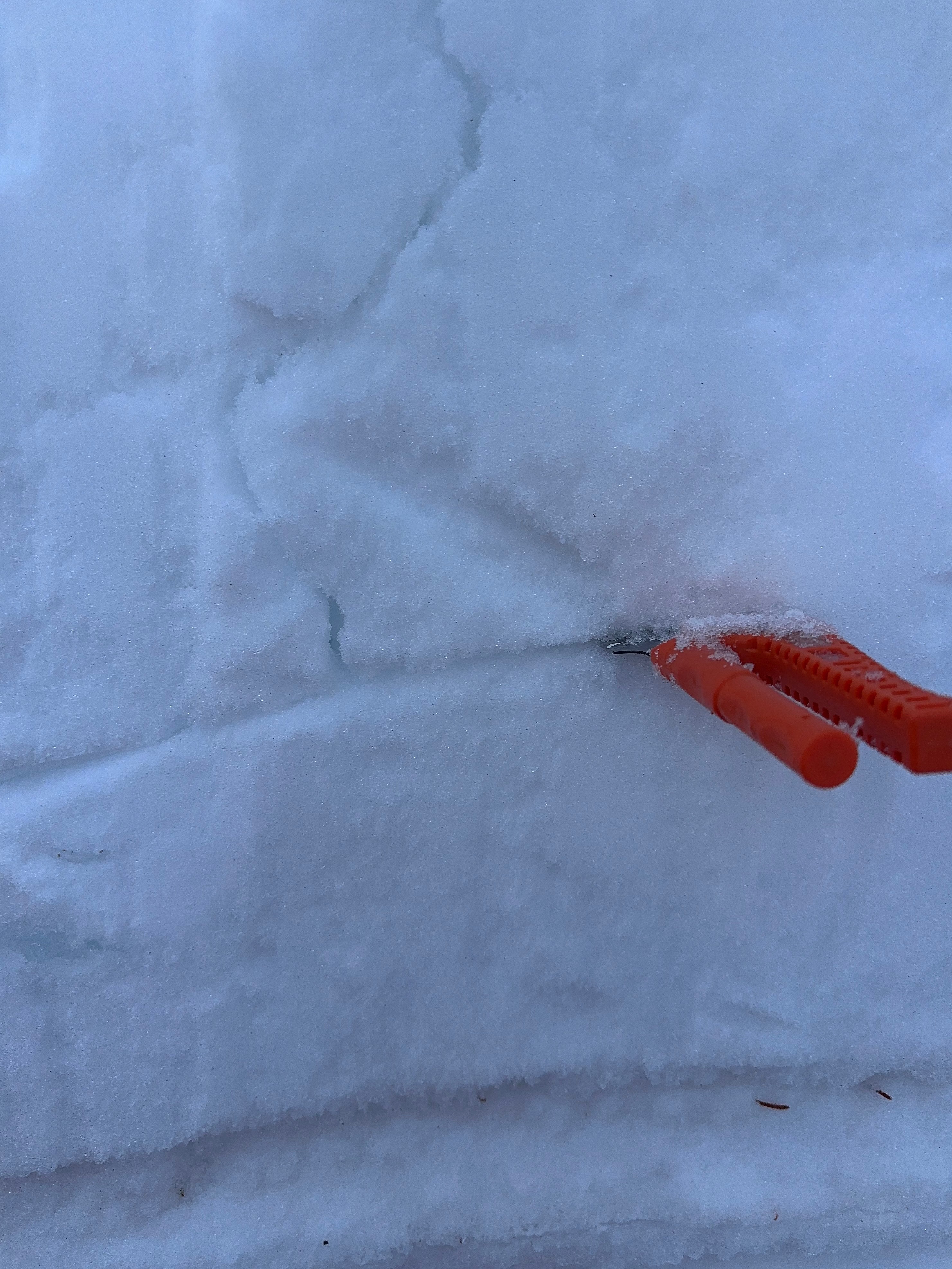
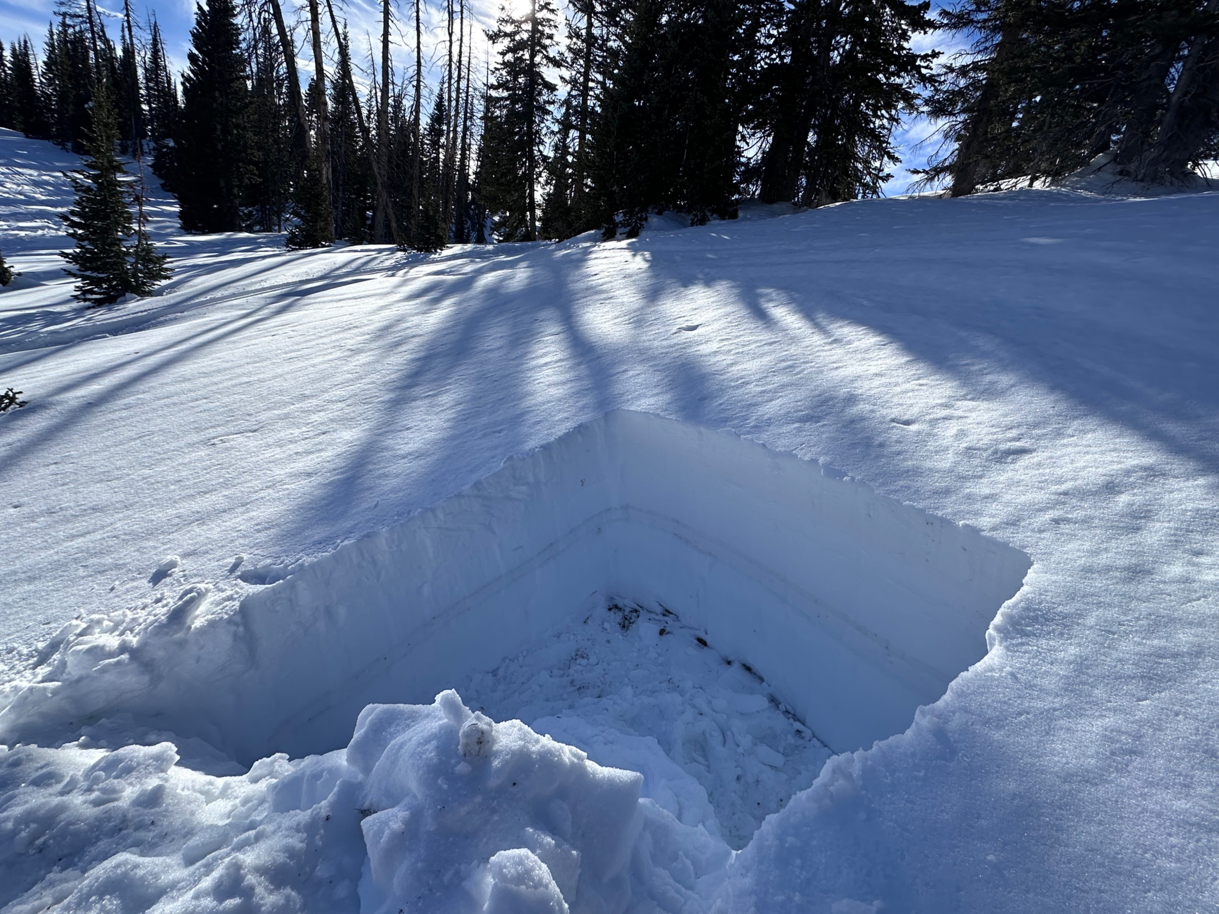
We evaluated the snowpack on a southeast aspect at an elevation of 10,660 feet near Wyatt Reservoir with a slope angle of 28° in the snowies. Due to the last several days of warming temperatures, a couple things were noticed. First warm weather is transferring water down through the snow pack and then re-freezing at night. There were four distinct ice layers visible. With the solar exposure and warming temperatures, moisture is moving throughout the snow pack. What does this mean for us? Our previously existing wind slab or persistent slab problems are acting more like spring conditions and possibly wet loose avalanche problems, moving forward. Three tests were performed in the pit with the extended column test (ECTX) producing no results, the propagation saw test did show some reaction, but still stubborn near the Christmas crust layer. We did have our compression test column failed during isolation at the ground which warrants more testing moving forward. With possible new heavy snow in the forecast, this could make southeast aspects very tricky during and after the storm. Much caution should be taken above slopes greater than 30°.
Weather
- Air Temp
- 45
- Cloud Cover
- few
- Wind Loading
- none
- Snow Avail For Transport
- none
Snowpack
we performed three tests in our snow pit today with some interesting results. Initially a compression test (CT) was performed resulting in failure during isolation (CTV). Next an extended column test (ECT) was performed, yielding no results. (ECTX). Thirdly a propagation saw test (PST) was performed, yielding a stubborn response resulting in PST 60/120SF 82cm down from the top of the snow.