
Quick report
- Collapsing
- isolated
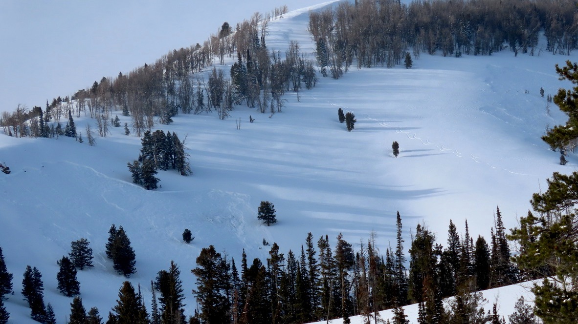
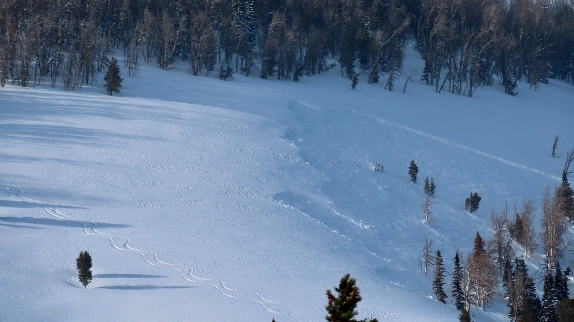
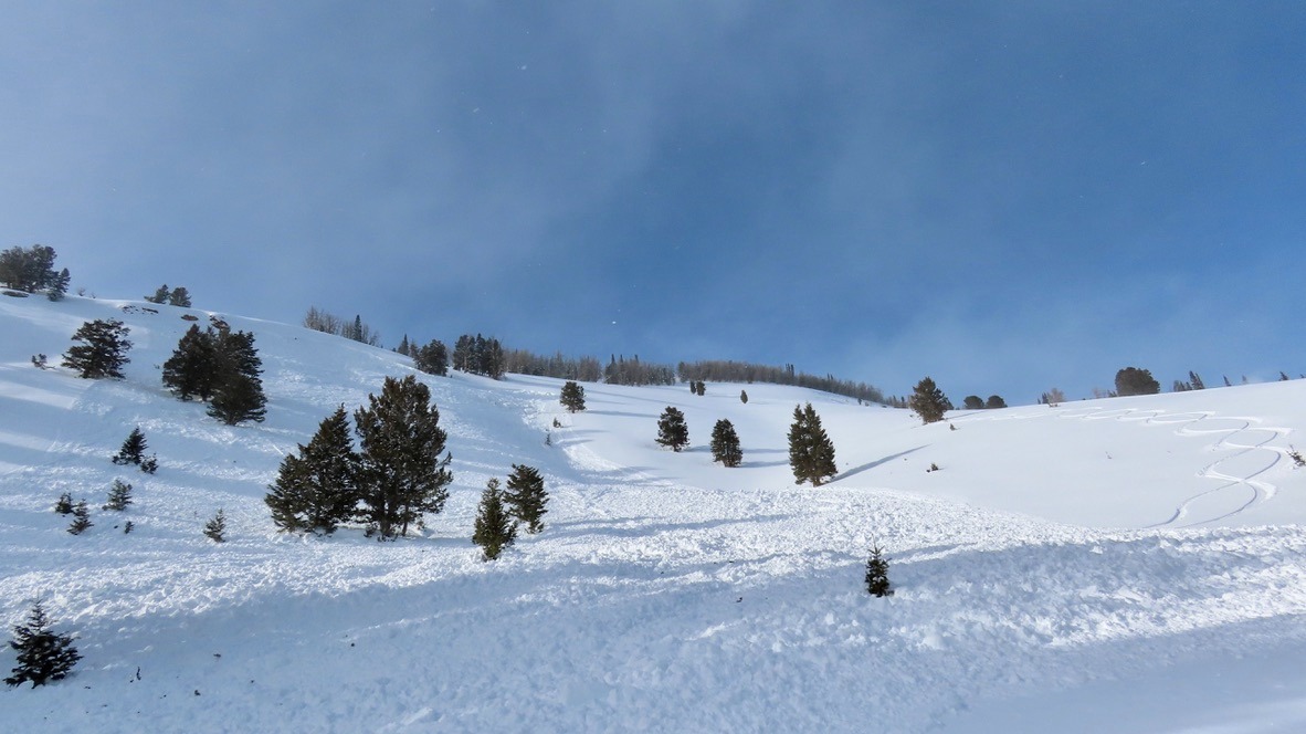
We remotely triggered two avalanches from our lower-angle descent; one avalanche was in a spot that a rider triggered and was caught earlier in the season.
Weather
- Cloud Cover
- broken
- Wind Loading
- moderate
- Rain Elevation
- 9,300'
- Snow Avail For Transport
- moderate amounts
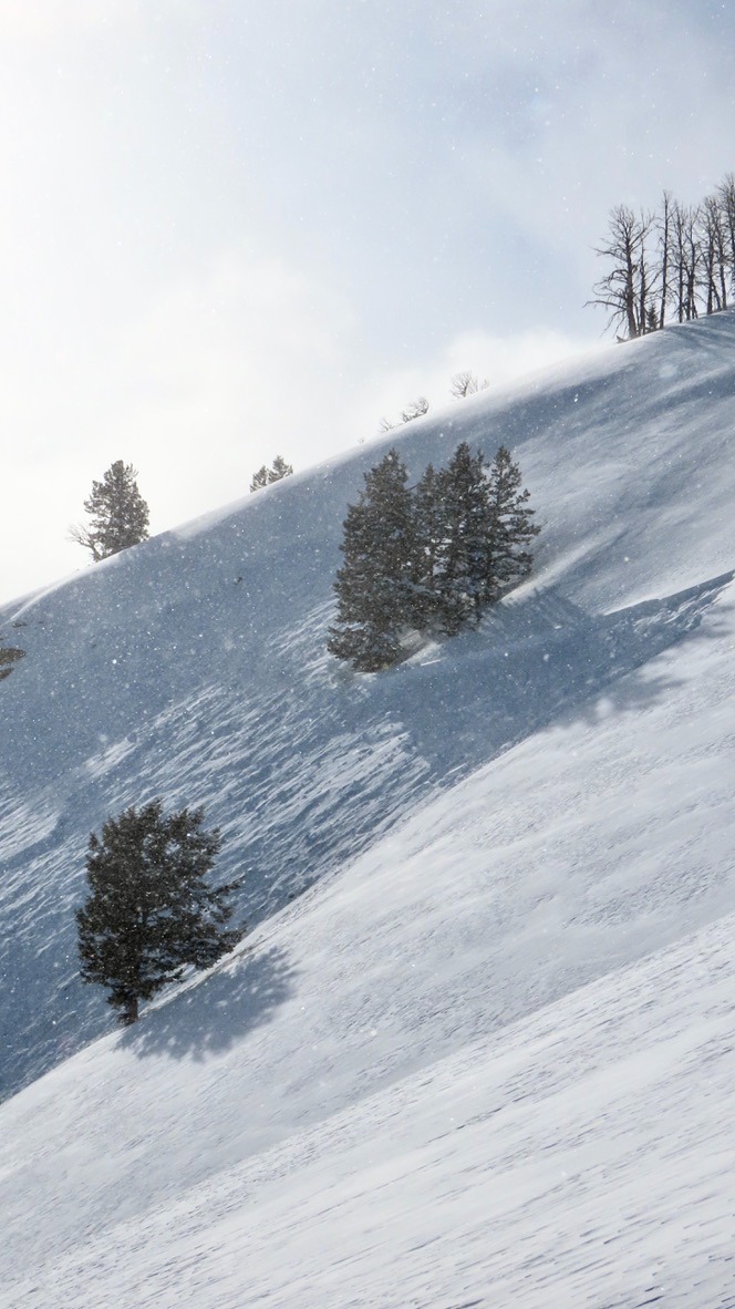
Strong active wind-loading at the ridgeline and previous wind slabs noted under fresh snowfall as well.
Snowpack
The structure in this zone remains particularly weak versus other locations in the Greys Zone that we have visited. Snow depths varied from 60-80 cm on the ridge to around 2 meters on a wind-loaded slope. This slope held weak snow within the top meter, propagating twice on two different weak layers buried 45 cm down (ECTP15) and 80cm down (ETCP17) from the surface. The layer 80cm from the snow surface is the Jan. 26th facet layer that was buried underneath the large storm event that occurred during that time. We also noted a significant rain crust up to 9,300 feet that is also present in other locations in the Greys and should be tracked moving forward, particularly as we transition to spring and snow starts heating up on that surface. This snowpack is complex, with multiple weak layers, and remains very reactive here. Any avalanche terrain should be assessed very carefully. The fact that we were able to remotely trigger two slides (one we were already suspecting would avalanche again, one we were not) days out from a storm and within the older snow is a clear indicator that things remain very hard to assess and unstable here.
Avalanche
- Size
- D2 R2
- Type
- HS
- Aspect
- SE
- Trigger
- AS
- Elevation
- 9600 ft