
Quick report
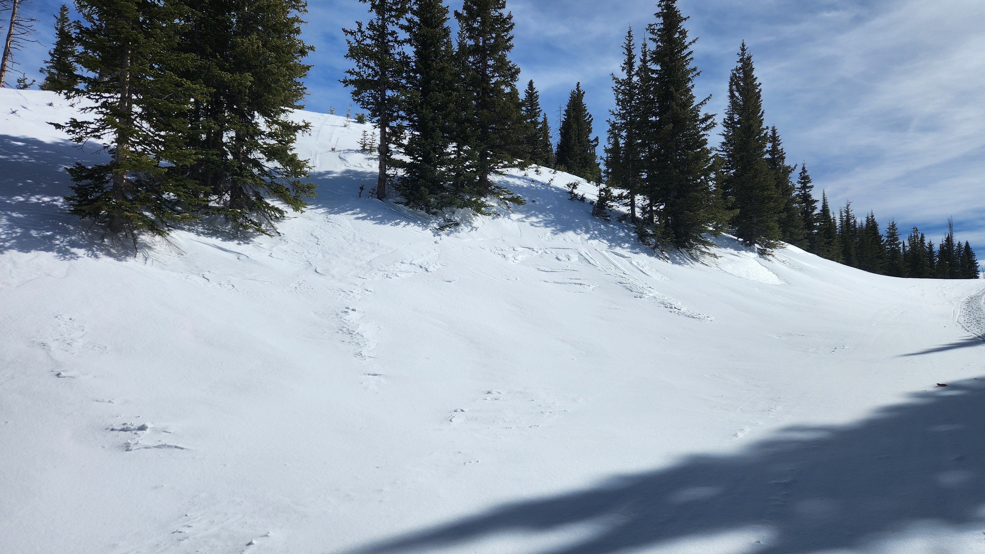
Our persistent weak layer from Feb 11th is still lingering on all aspects and elevations. Areas with shallow snowpack, variable snow depth, rocks, and wind loading are the most dangerous slopes. Multiple people can ride a slope before a trigger point is found and an avalanche is triggered. Concerns of wet slab avalanches will increase throughout the week as tempatures continue to warm throughout Sunday. Rocky features will warm up faster. If you see rollerballs, pinwheels, or small point release avalanches move to slopes with cooler snow or travel earlier in the day.
Weather
- Air Temp
- 40
- Cloud Cover
- clear
- Wind Loading
- moderate
- Recent Snowfall
- 0
- Snow Avail For Transport
- small smounts
Sunny, warm, and windy day