
Quick report
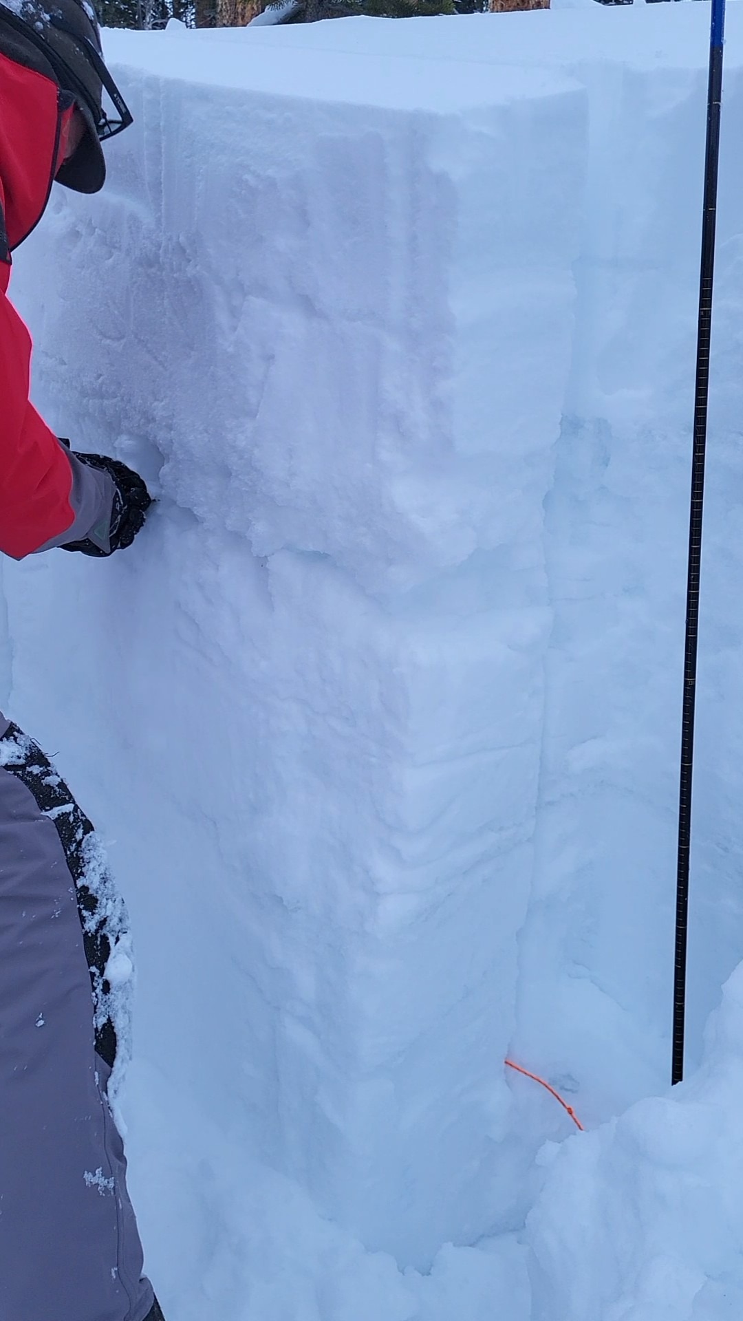
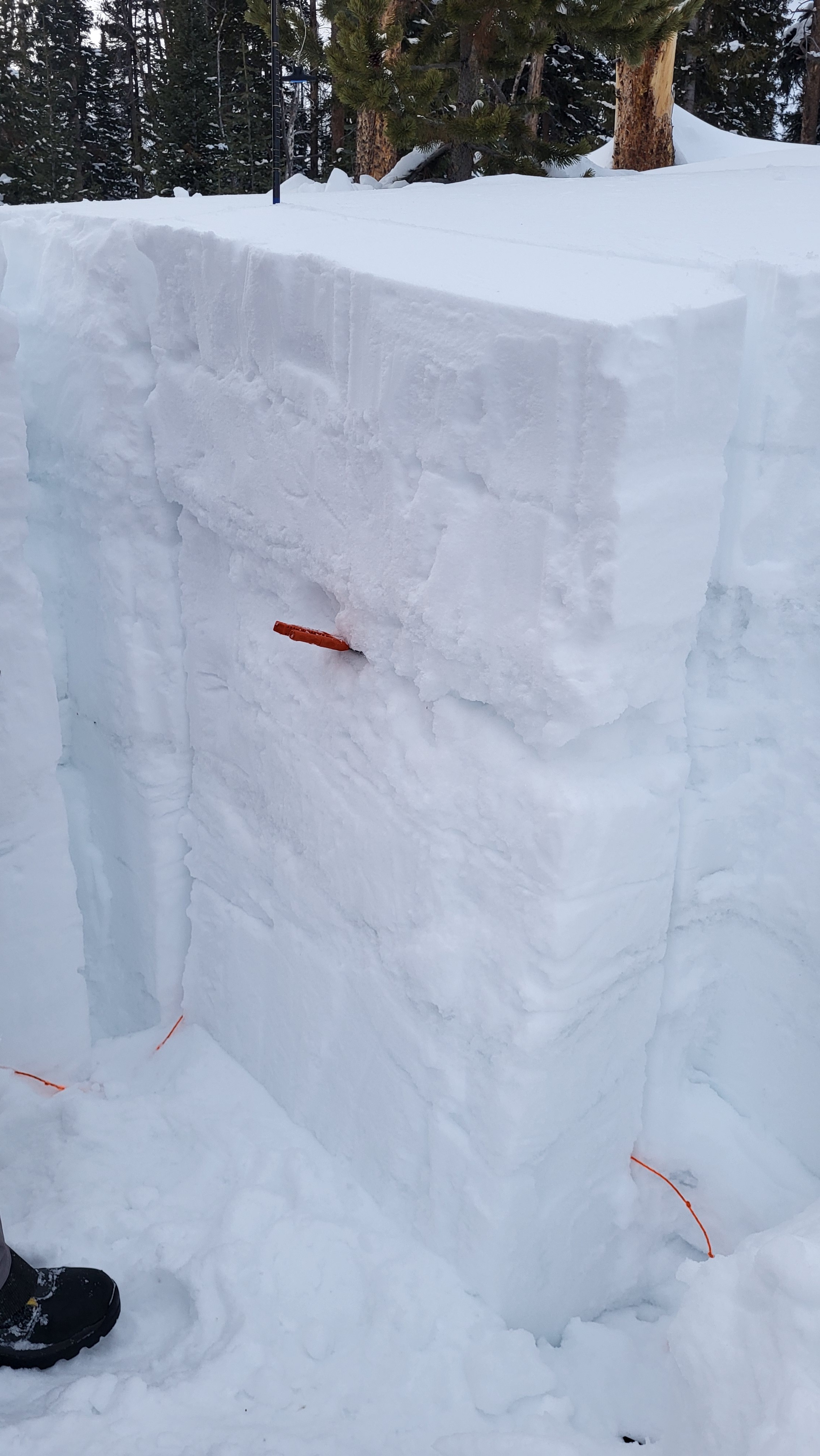
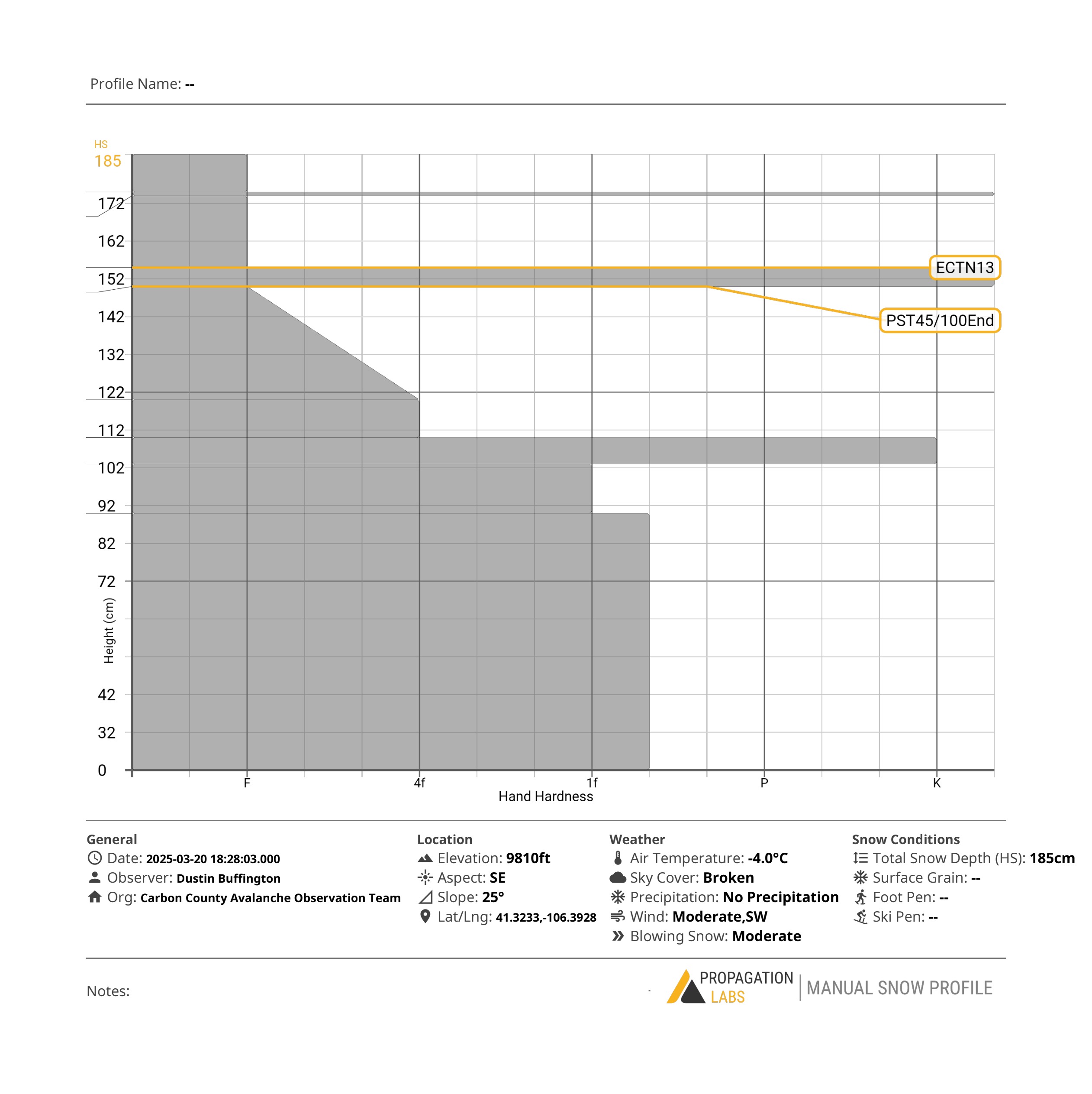
Our observation tests tonight showed us that the upper portion of the snowpack(upper 60cm), which is sitting on top of a thick ice layer with faceted snow below, is fairly reactive. This could mean smaller avalanches but could also step down to the persistent weak layer, creating a much larger, more dangerous avalanche. Also while the Persistent Weak layer is stubborn, it can potentially still be triggered from thinner spots on slopes 30 degrees or greater. There are multiple slopes on the down wind sides of the mountain that are moderately to heavily wind loaded, so the probability of a wind slab avalanche is fairly high right now. PST45/100@150cm and ECTN13@152cm High winds with moderate to heavy wind loading.
Weather
- Air Temp
- 24.8
- Cloud Cover
- broken
- Wind Loading
- intense
- Snow Avail For Transport
- moderate amounts
Snowpack
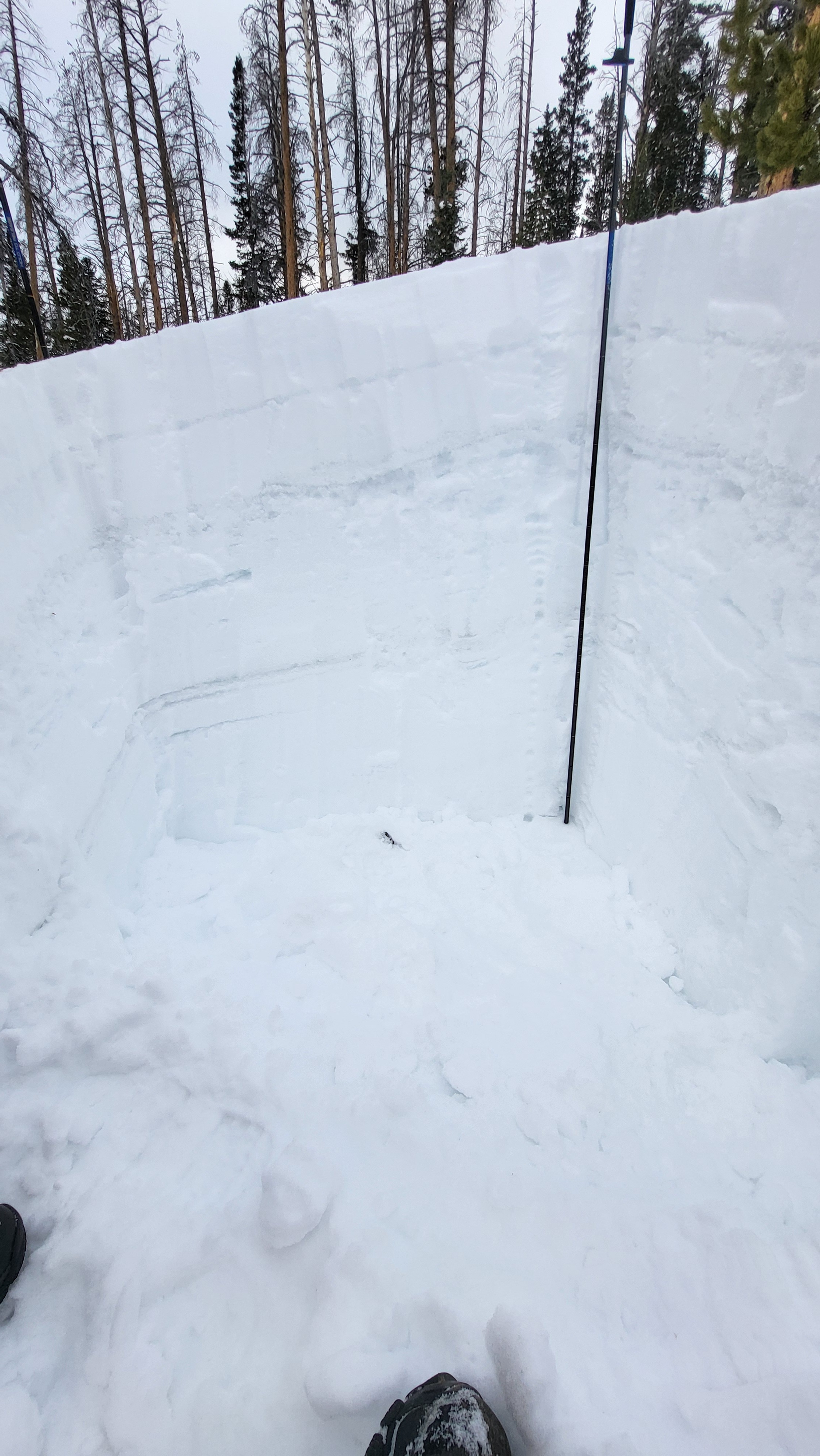
The snowpack in this area measured 185 cm deep and consisted of many ice layers at various depths. Density ranged from Fist(soft) at the top to 1 finger(dense) towards the middle and bottom, giving us a "Right Side Up" type of snowpack.