
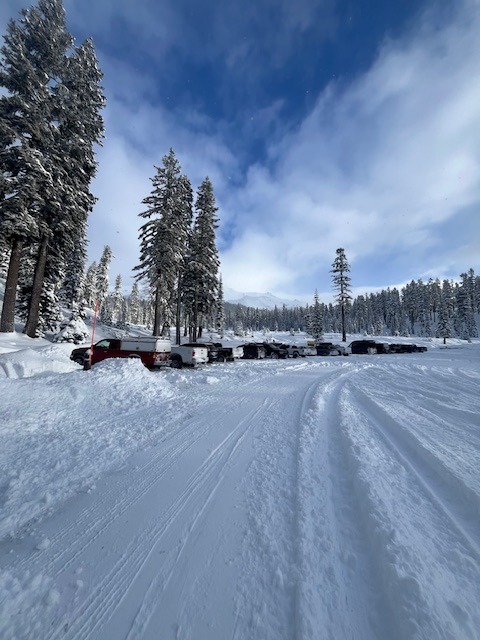
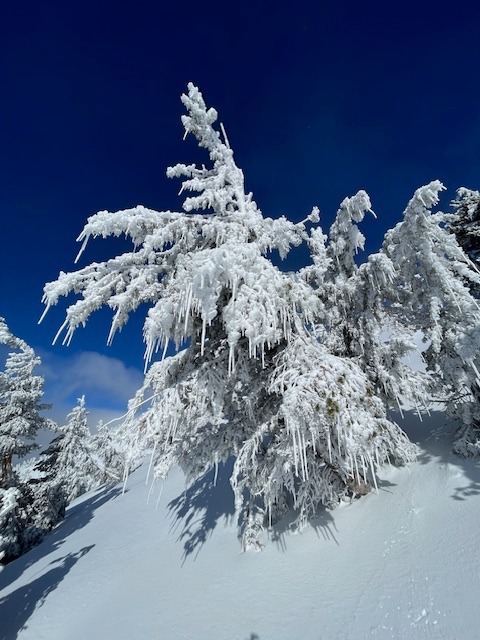
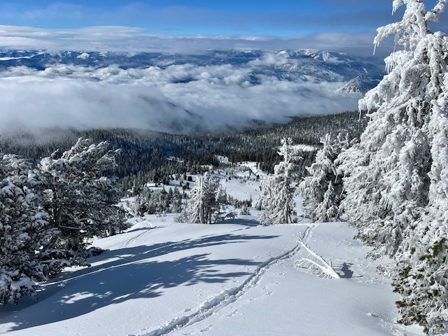
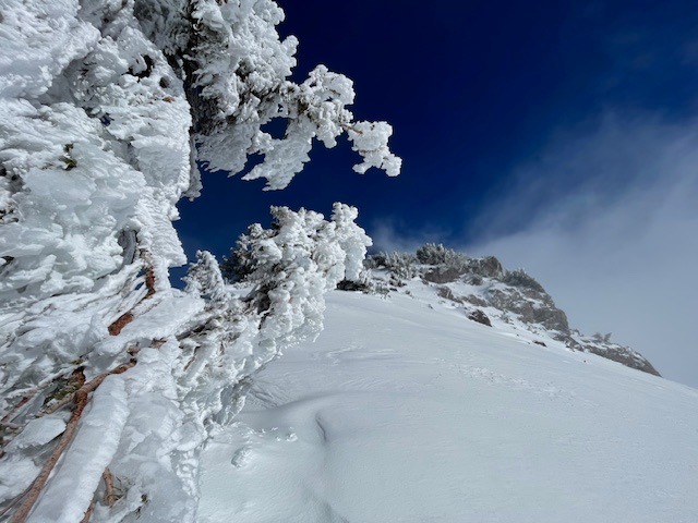
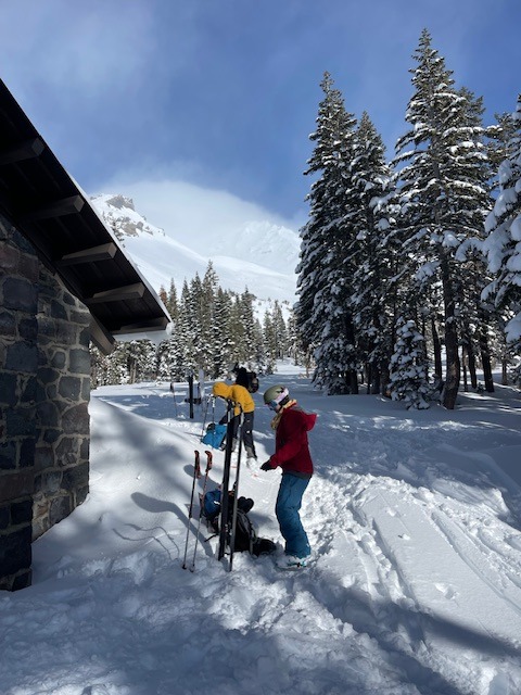
Quick report
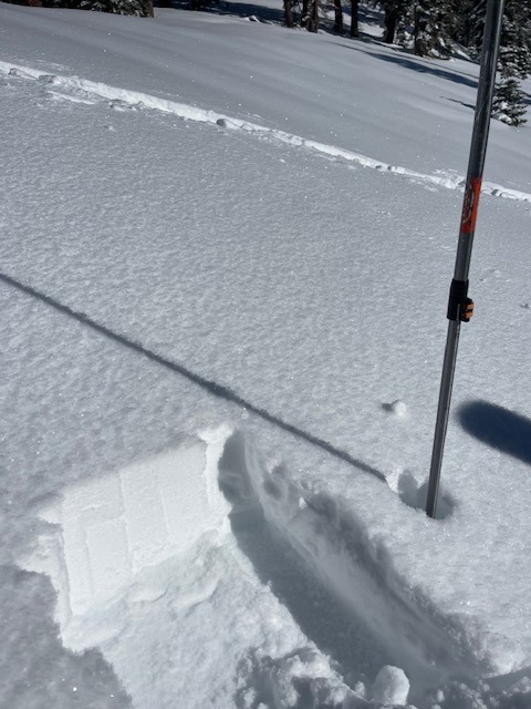
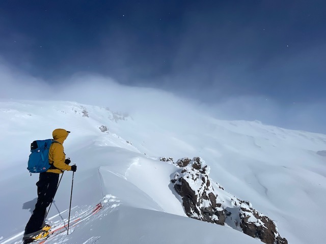
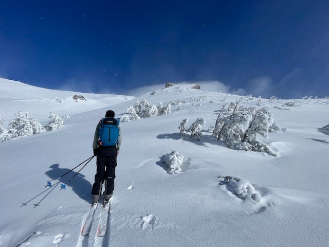
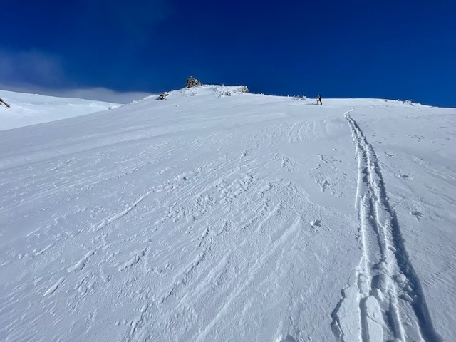
Wind slabs on SW-W-NW aspects above treeline that formed overnight from wind and new snow were reactive to moderate force during stability tests, but an avalanche on a slope scale would be stubborn or unreactive to trigger. Near midday, west and northwest wind increased and began blowing loose snow onto leeward south, southeast and easterly aspects.
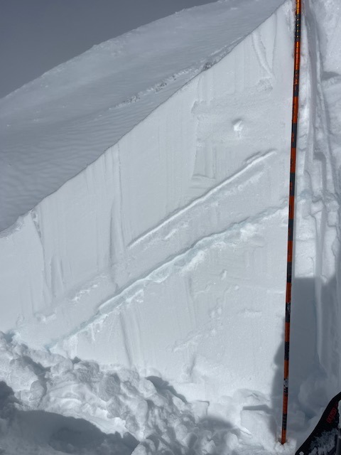
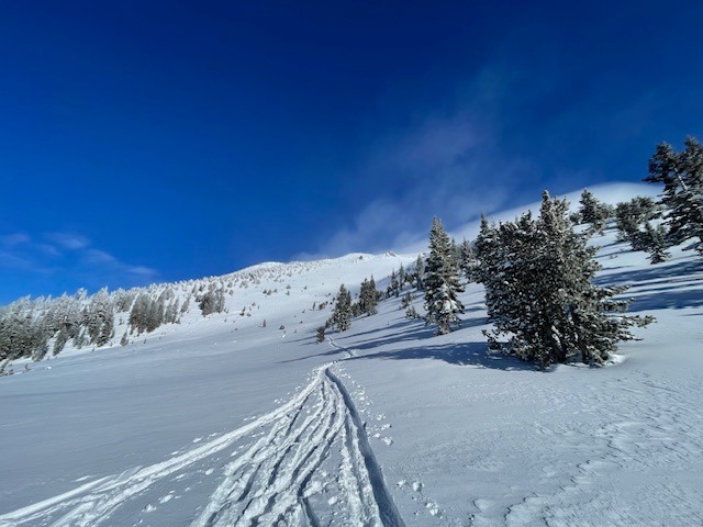
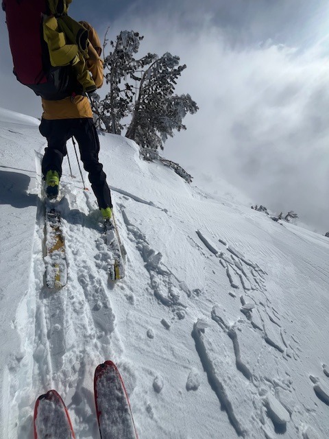
No notable instabilities below or near treeline; slab properties poor. Observed small drifts cracking into slabs in wind loaded areas behind trees. Above treeline, wind slabs on westerly aspects were reactive to moderate force during stability tests with full propagation on soft snow layer (below Dec 30th crust), 12 inches down from the surface. We were unable to produce cracking or collapsing on larger slopes at said layer. This likely due to bridging effect of crust.Weather
- Air Temp
- 22
- Cloud Cover
- scattered
- Wind Loading
- moderate
- Rain Elevation
- ~3,500
- Recent Snowfall
- 11 inches
- Snow Avail For Transport
- moderate amounts
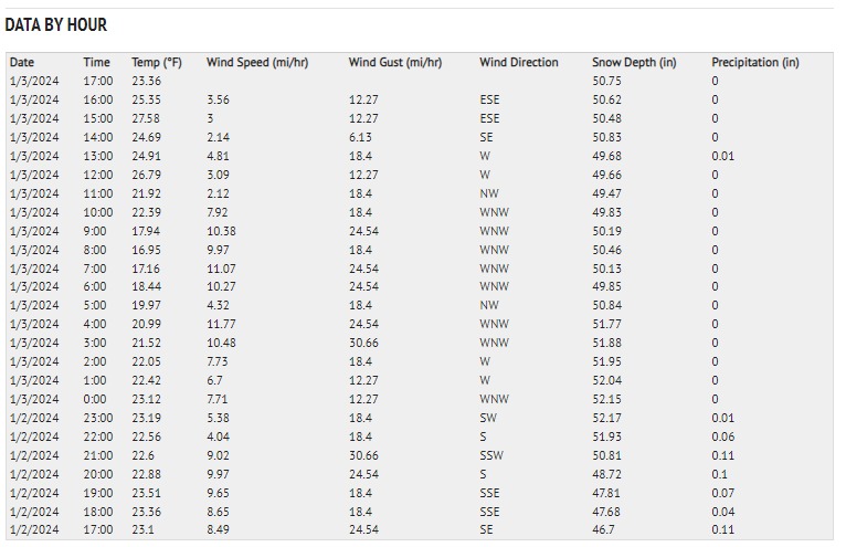
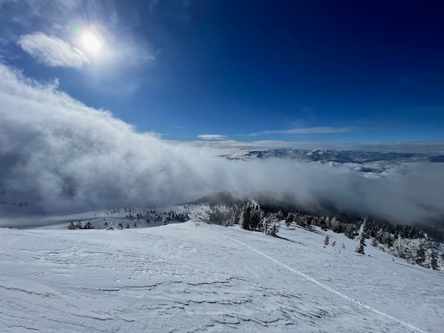
Day after storm that brought anywhere from 6" to 12" of new snow on Mount Shasta over the past 24 hours. Low and mid-level clouds/fog widespread, upper level atmosphere partially clear. Near 1200 hours, calm wind gave way to moderate west, northwest and north wind with stronger gusts. Temperatures near treeline over the past 24 hours have averaged 22 F, with a low of 17 and high of 27. Wind has blow predominantly out of the WNW, averaging 7 mi/hr with gusts to 30 mi/hr
Snowpack
Giddy Giddy Gulch, west aspect of Casaval Ridge, 9,350 feet, height of snow 45 inches, height of new snow 11 inches. Three major crusts in snowpack: top - 12.30.23 crust / middle - 12.23 (ice) / lower - 12.18. These can all be easily located. Layer of concern today is just beneath the top crust.
Avalanche
No avalanches observed