
Mount Shasta
United States · Mount Shasta Avalanche Center
Bollettino emesso 5 months ago · valido fino al Nov 1
Bollettino in corso
In sintesi
The Forest Service Mount Shasta Avalanche Center issued its final forecast of the 2025–2026 season on April 11. Our focus now shifts fully to mountaineering operations. Climbing Rangers remain on the mountain and on duty seven days a week, year‑round. While daily avalanche forecasts have concluded for the season, we will continue to post climbing observations and regular updates to the climbing advisory on our website.
Spring conditions are highly variable. Periods of clear weather and low avalanche danger can quickly shift to storms capable of producing avalanches. Please review the final forecast discussion for an overview of spring avalanche concerns. Check the weather before your climb and select appropriate weather windows. Always pay attention to the 5 Red Flags of Avalanche Danger.
You’re welcome to call us to discuss current conditions or trip planning. If we’re out in the field, leave a message and we will return your call... 530‑926‑9617
Avalanche Discussion
SPRING STATEMENT 2026
This winter brought a series of warm storms, a few notable avalanches, and a handful of deep powder days to the area. For the majority of terrain below 8,000 feet, the snowpack is well below historical average in snow water equivalent (SWE) and snow depth. A healthier snowpack exists above 8,000 feet as a result of high snow levels. In general, the snowpack is running a few months ahead of schedule. As temperatures warm, expect inconsistent snow coverage over prominent terrain features and a rising snow line.
Spring is notorious for producing all types of weather. And thus, it so happens that on April 11, multiple feet of snow fell over the higher elevations of Mount Shasta. This serves as a reminder that all types of weather are possible in the spring, and rapidly changing conditions can subsequently give rise to avalanche danger. Below are the most common avalanche problems in the spring:
Wet loose avalanches will be the primary avalanche concern throughout the spring on Mount Shasta. This type of avalanche is the release of wet, unconsolidated snow or slush, generally starting at a point and entraining snow as it moves down slope, forming a fan-shaped avalanche. They tend to move slowly, but can contain enough mass to cause significant damage to trees, cars, or buildings. Some of these avalanches may seem harmless, but can be deadly in high consequence terrain like above cliffs or a terrain trap. It is also important to remember that wet loose avalanches can trigger slab avalanches that break into deeper snow layers.
To mitigate this problem, travel during colder temperatures. Typically, this involves starting early and heading back early. Plan your trips to avoid crossing on or underneath very steep slopes in the afternoon. Move to colder, shadier slopes once the snow surface turns slushy. Avoid steep, sunlit slopes above terrain traps, cliffs and long sustained steep pitches.
Mount Shasta sticks out 7,000 vertical feet above all surrounding terrain, and thus is no stranger to wind. Any spring snow storms will likely be accompanied by strong winds. Winds slabs form during storms, for several days following a storm, and during high wind events. Pay attention to wind direction and how the wind transported snow is redistributed throughout the terrain. Use clues like blowing snow, cornice formation, and textured snow surfaces to identify areas where potentially unstable wind slabs exist. Look for typical signs of winter instability like recent avalanches, shooting cracks, and/or whumphing.
Springtime storms can often produce heavy precipitation, rapidly adding new snow and weight to the snowpack. It is important to give the snowpack time to adjust after a significant snowfall, as storm slab problems can last for a few hours to a few days. Storm slabs are the release of a soft, cohesive layer(a slab) of new snow that breaks within the storm snow or on the old snow surface. Typically, in the spring, new snow will fall on melt-freeze crusts (sun or rain crusts). These crusts provide a great bed surface for the new snow to slide on.
You can reduce your risk of getting caught in a storm slab avalanche by waiting a day or two after a storm before venturing into steep terrain. Storm slabs are most dangerous on slopes with terrain traps like gullies, cliff bands, dense timber, or terrain features that make it difficult for a rider to escape off the side.
More snow and cold temperatures are possible this spring. Fortunately, our existing snowpack is strong and stable, which means future instabilities will be within any new snow that accumulates on the surface. The majority of storm slab and wind slab avalanches that may occur are likely to happen during or immediately following big snowstorms. Make sure to give the snowpack time to adjust after it snows before committing to complex avalanche terrain.
For most days throughout the spring, a diurnal melt-freeze cycle will dictate the avalanche hazard. With clear, dry weather conditions, snow surfaces often freeze overnight and thaw during the day. When snow surfaces are frozen, snowpack stability is at its best. As they thaw, the snowpack looses strength and stability can become poor, often with increasing avalanche danger by late morning and afternoon. Loose wet avalanche activity should be expected during these weather conditions. Falling rime ice and rockfall can also pose hazards to climbers and skiers in alpine terrain on Mount Shasta. Melt-freeze cycles affect these hazards as well, and timing and efficiency are critical.
Cornice Fall is another avalanche problem that develops in the spring. As temperatures continue to climb, cornices will weaken and fail. Give cornices a wide berth as you travel under or around them, as they can sometimes break larger and further back than expected.
In addition to rapid warming due to temperature and solar radiation, rain on snow is also a red flag for avalanches. Rain can work especially quickly to destabilize the snowpack. Not only can these factors produce wet loose avalanches, but can lead to wet slab and glide avalanches as well. Wet slab and glide avalanches typically occur with prolonged periods of above freezing temperatures and/or heavy rainfall. As free water percolates down through the snowpack, it can weaken deeper layers of snow or even the entire snowpack. If free water encounters a crust, ice lens, or smooth ground surface, it may flow along the interface and lubricate it, making avalanches increasingly likely within the snow above.
Finally, we would like to extend a huge thank you to all who have helped support the Mount Shasta Avalanche Center. Your observations, donations, feedback, and general support are very much appreciated. Thank you for a great season, and we will see you back here next winter!
Andamento dei bollettini
Osservazioni recenti
Tutte le osservazioni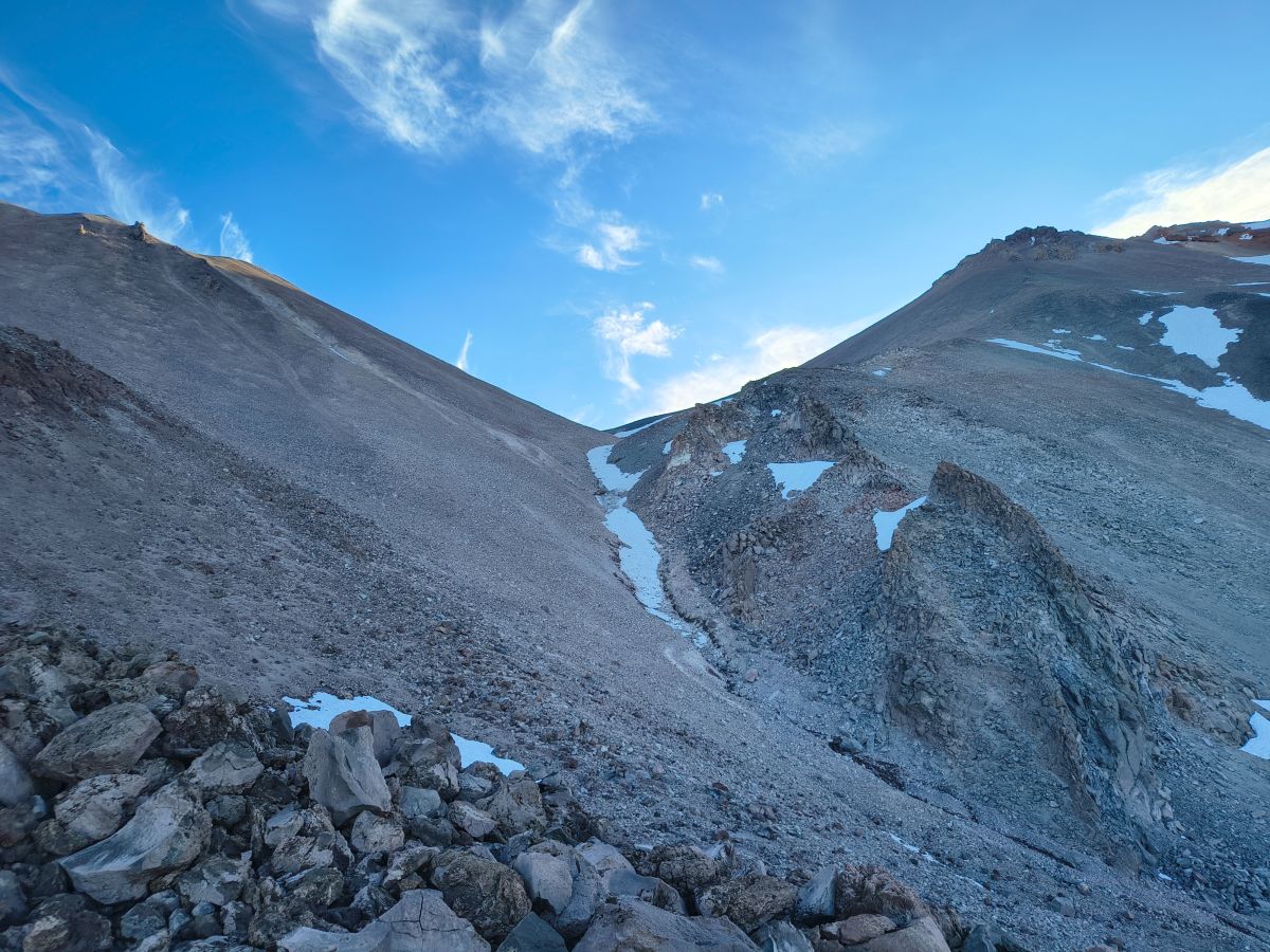
ShastinaMeteo
Meteo2 months agoAvalanche.org observer8
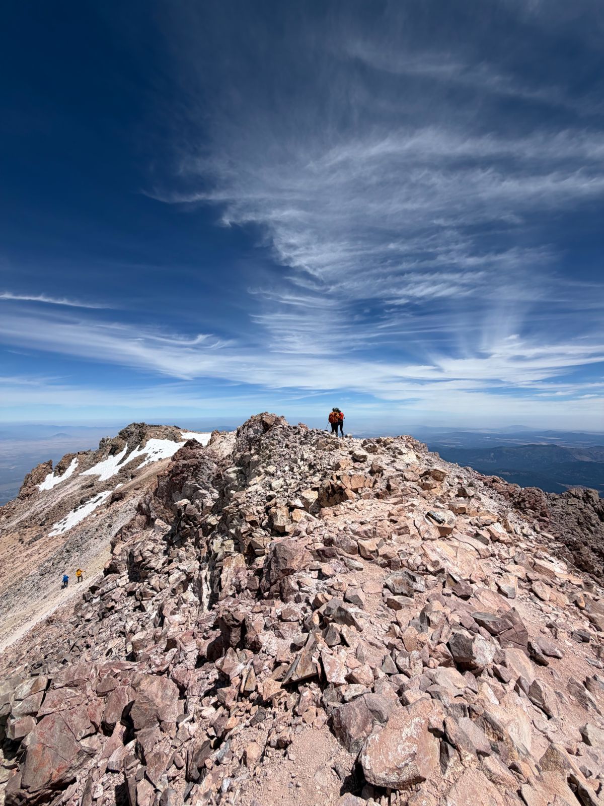
Clear CreekRapporto rapido
Rapporto rapido2 months agoAvalanche.org observer8
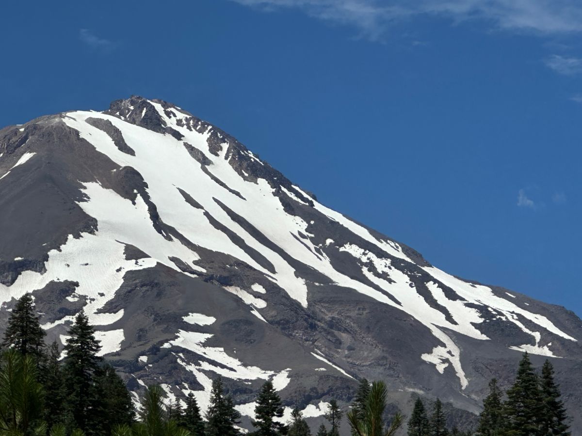
Mount Shasta - South and East Side PhotosRapporto rapido
Rapporto rapido2 months agoChristian Jordan5
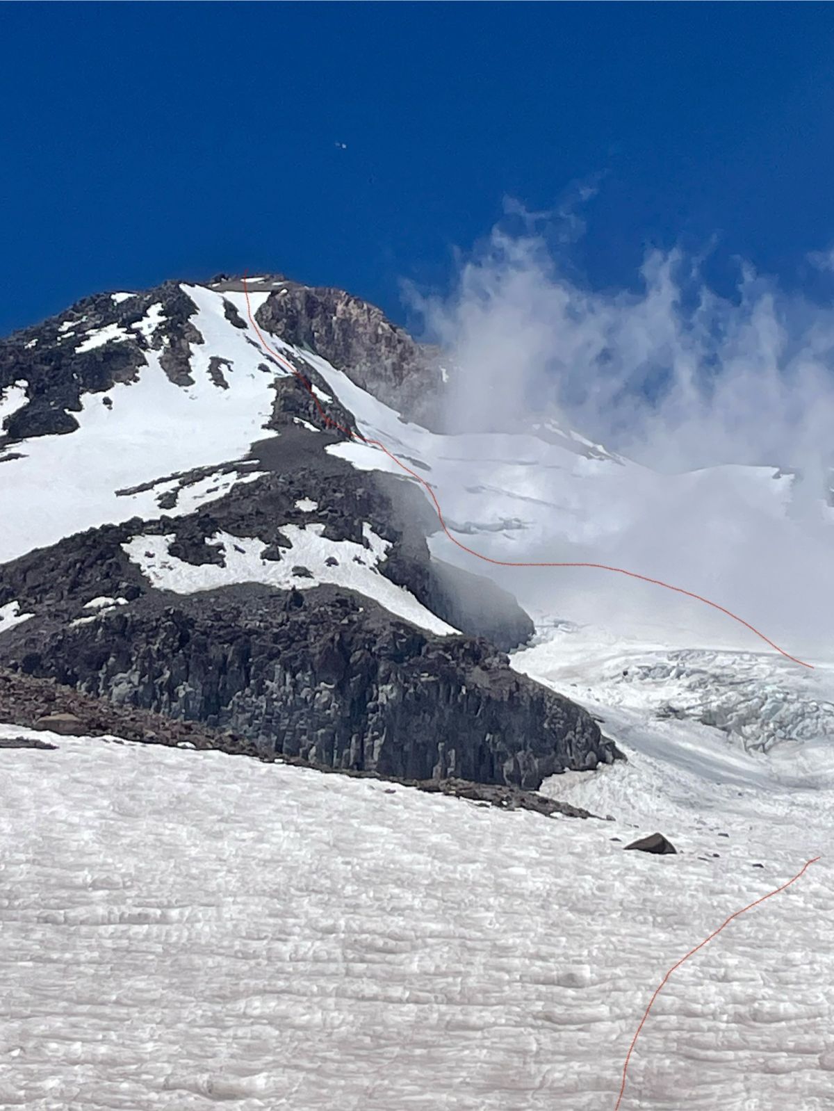
Hotlum Glacier Rapporto rapido
Rapporto rapido2 months agoTheodore Balboni1
Avalanche GulchMeteo
Meteo2 months agoChristian Jordan9