
Quick report
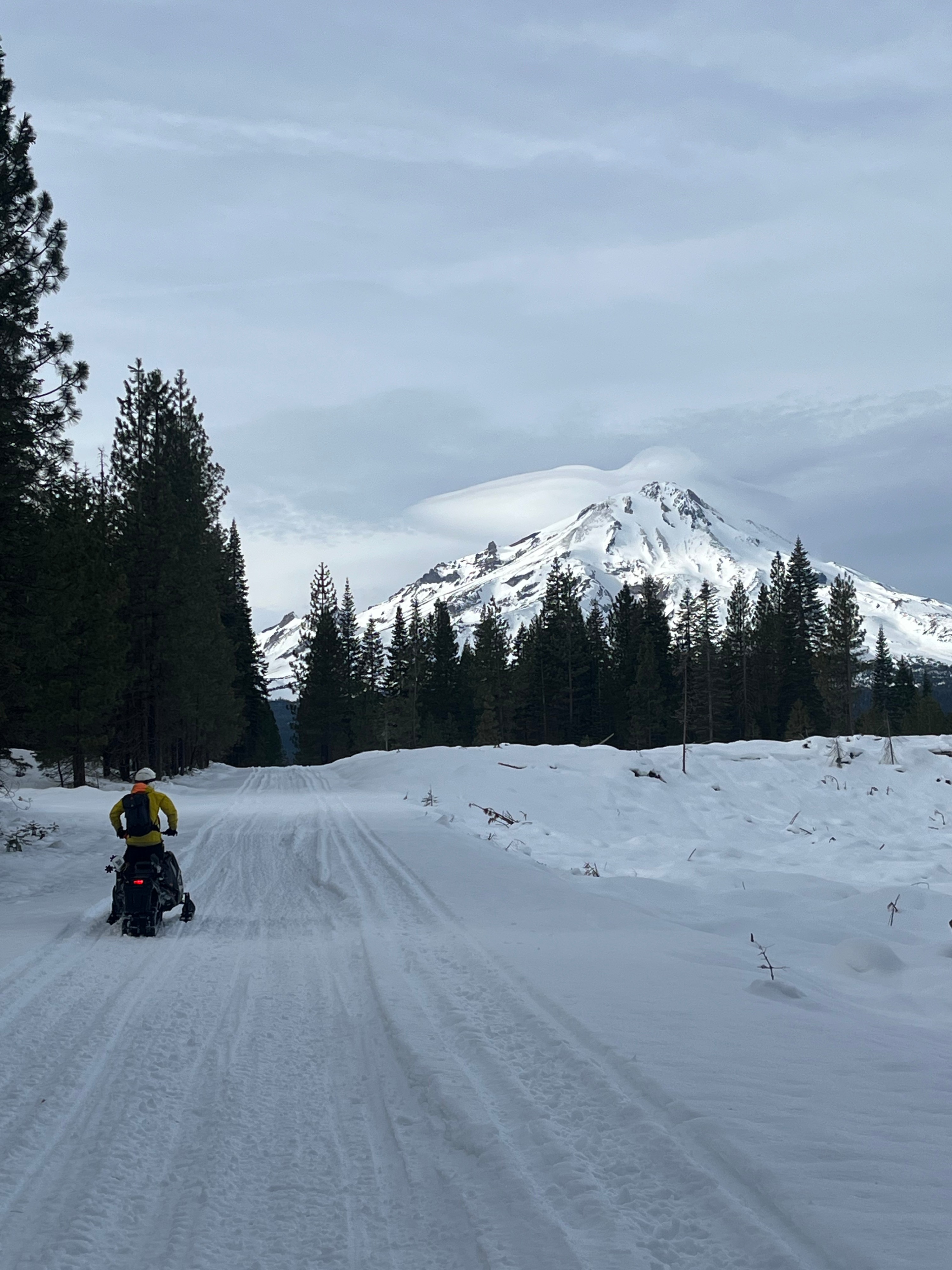
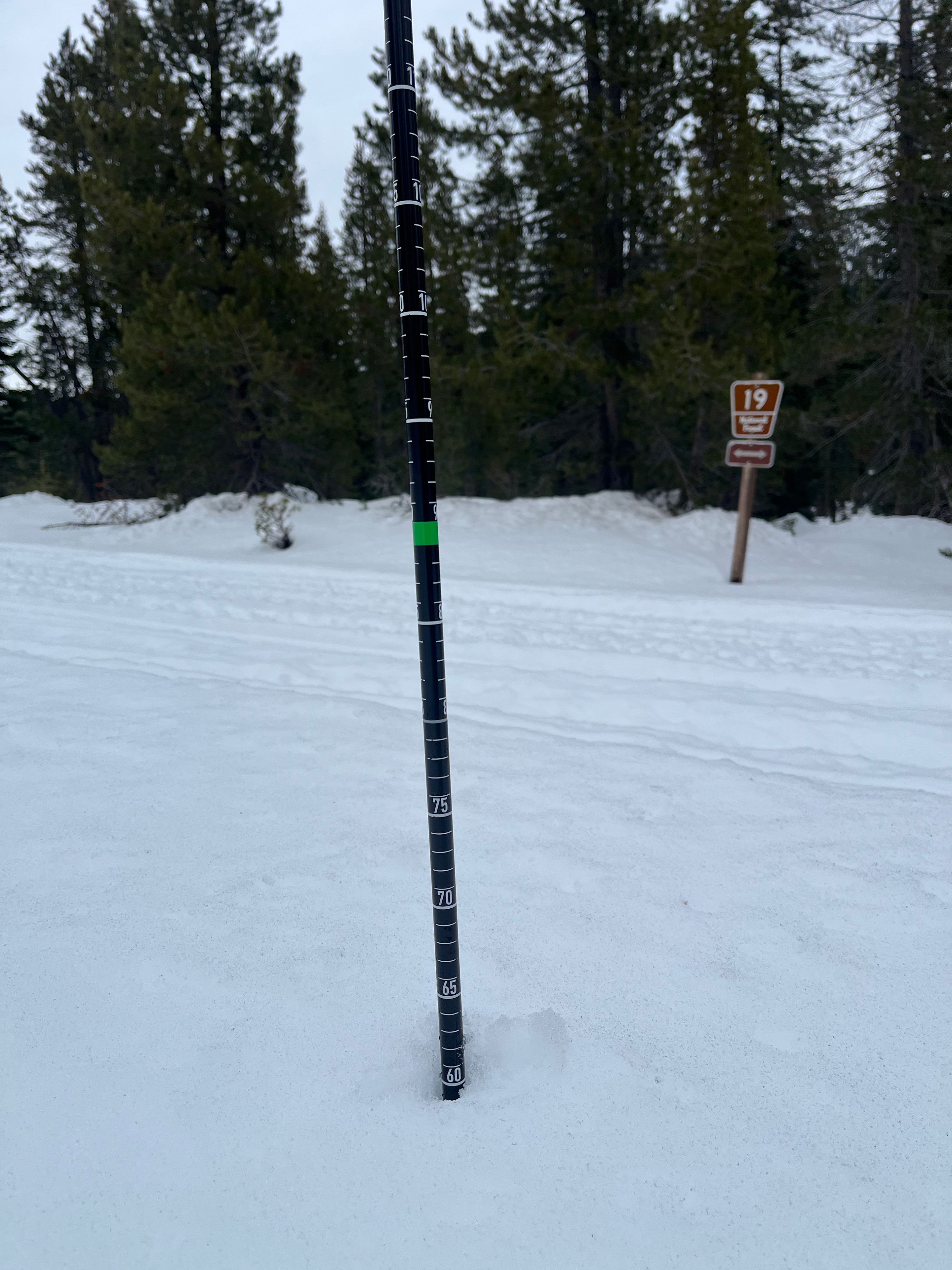
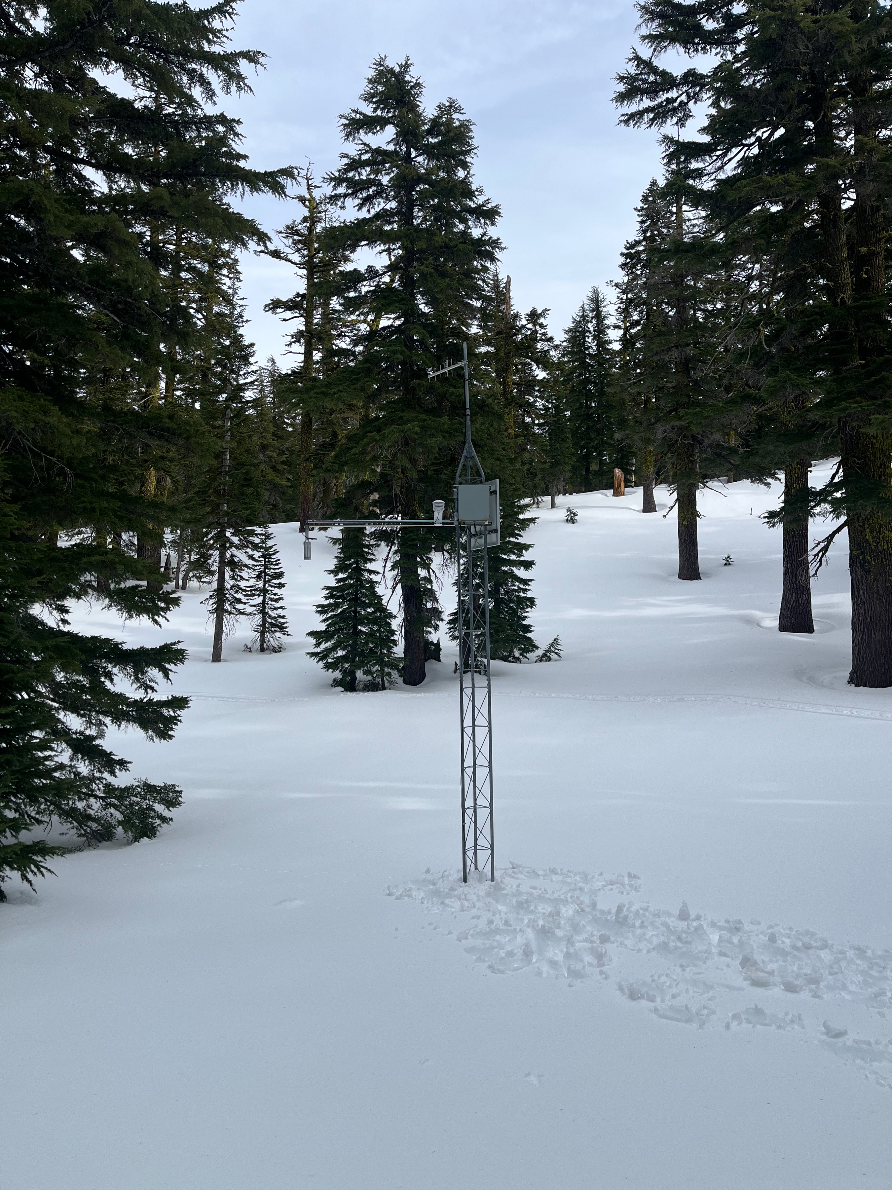
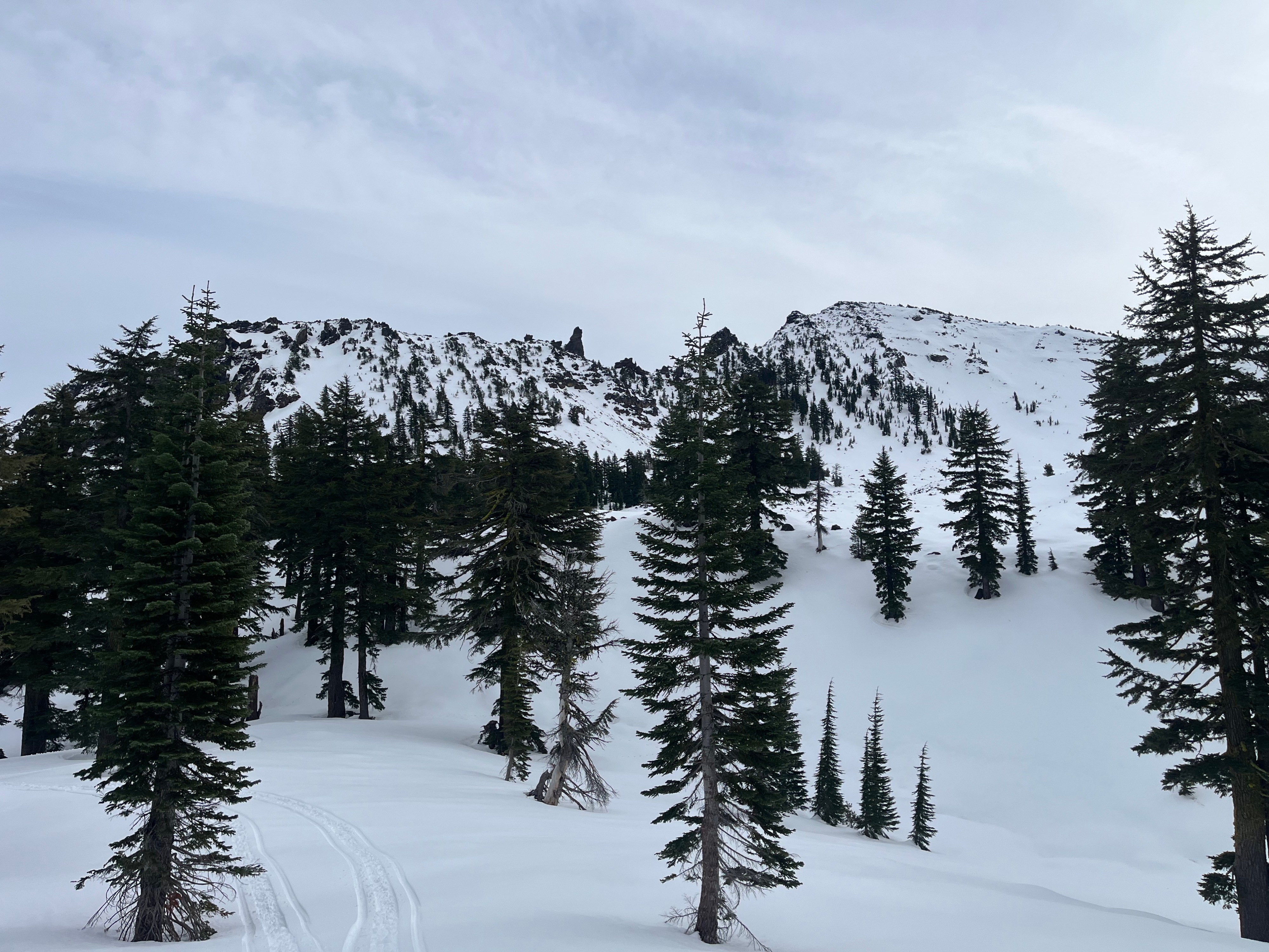
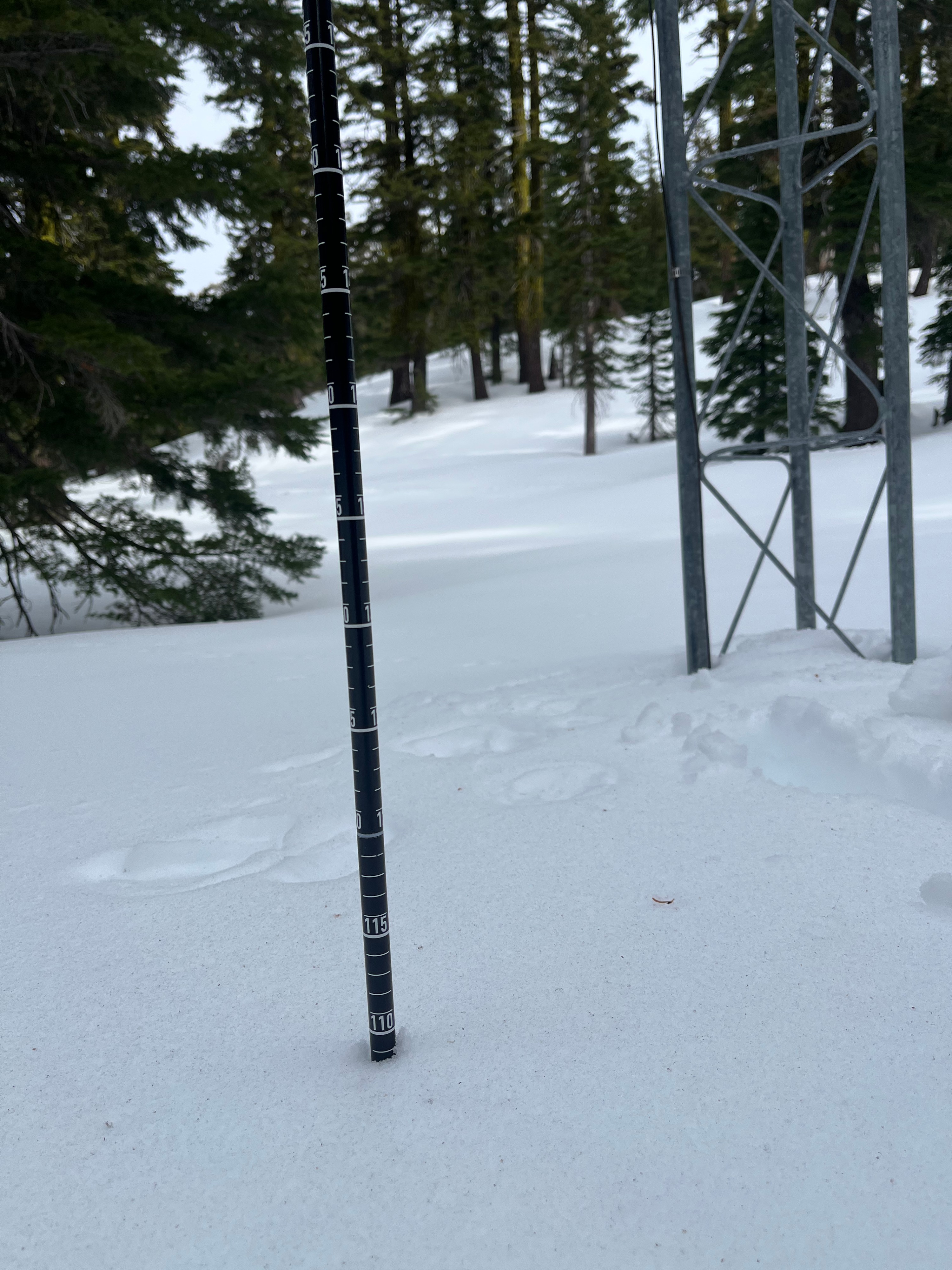
Weather station maintenance brought Sam and I to the east side of the forecast area today. We found the snowpack to measure between 30 to 60 centimeteres between 4,000 and 6,000 feet. Above 6,000 feet, the depth increases drasticly with 109 cm at the Ash Creek Butte Bowl weather station (7,200 feet). Further up in the bowl and on an east facing slope near 8,000 feet there is 130 to 155cm of snow. Overcast skies created greenhousing conditions that warmed the snow and caused surface melt- expect crusts to be widespread tomorrow morning. We did not witness any signs of instability. Rocks and logs remain the greatest hazard to backcountry travellers.
No signs of recent instabilty observed.Weather
- Air Temp
- 37
- Cloud Cover
- overcast
- Wind Loading
- previous
- Snow Avail For Transport
- none
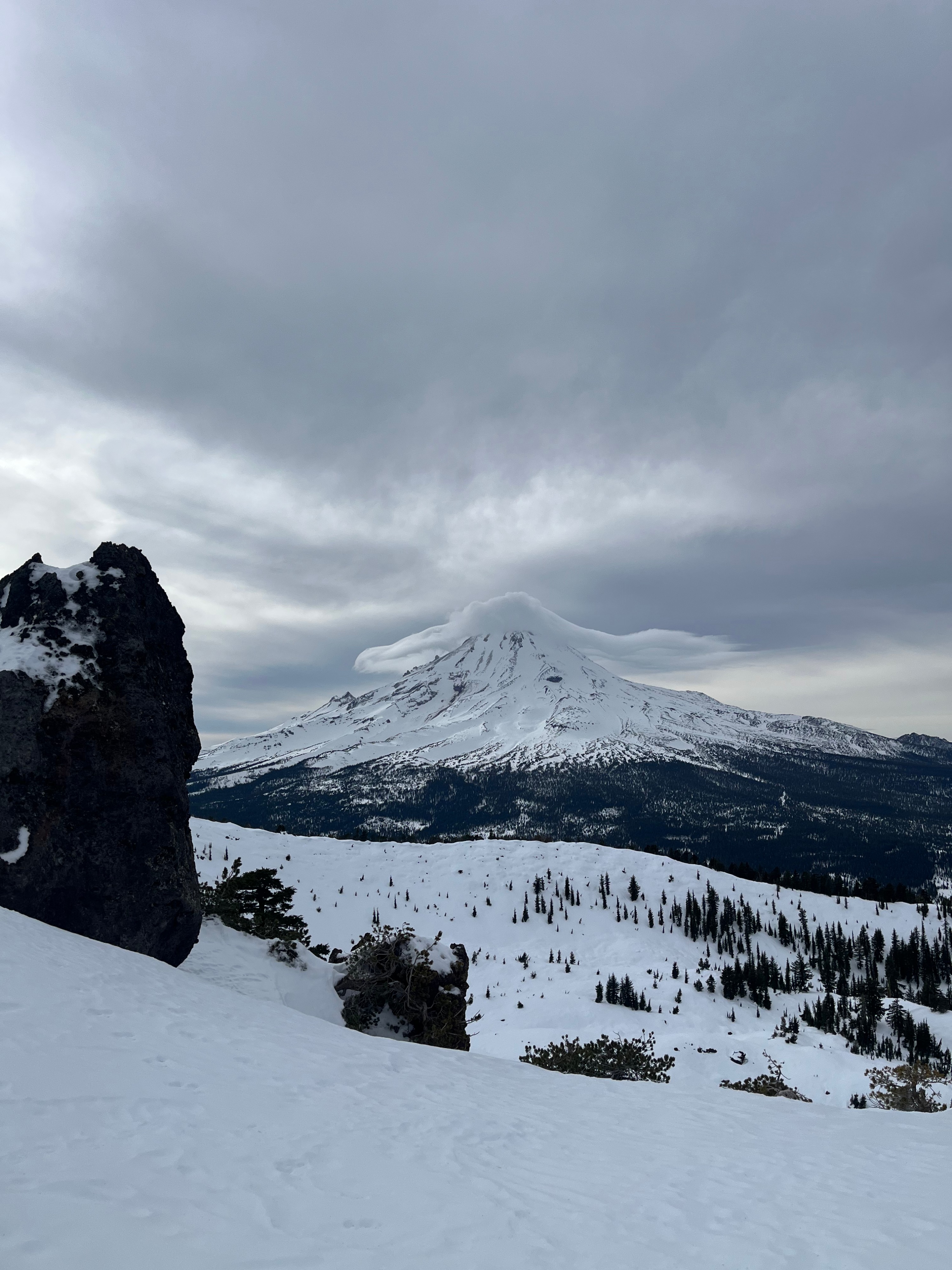
Overcast skies kept direct sun at bay but produced a greenhousing effect that kept temperatures in the upper 30s to lower 40s. On ridgetops, wind blew light with moderate gusts out of the northwest.
Snowpack
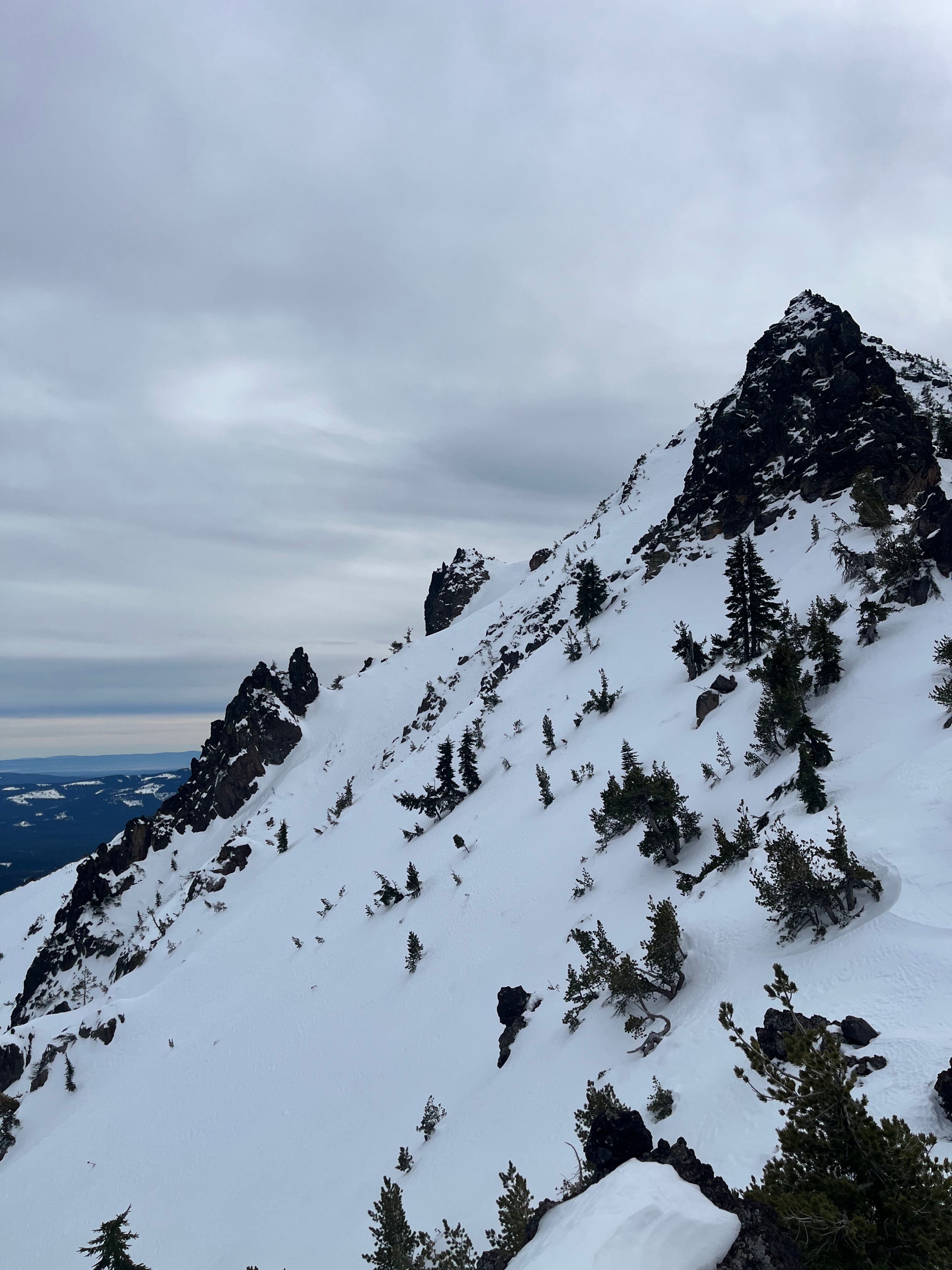
On all aspects from 4,000 to 7,500 feet snow surfaces are wet and sticky. Boot penetration through this range of elevations was steady at 10 centimeters and very supportable to both snow machine and ski. Above 7,500 feet south and west aspects remained wet with a 1-2 centimeter breakable crust forming in open areas and near ridgelines. North and east aspects above 7,500 feet held dense but dry snow that shows evidence of previous wind loading. This dry snow is 30-60 centimeters deep and rests atop a 10 centimeter melt-freeze crust from the rain on snow event. There was strong bonding between these layers at this location.