
Quick report
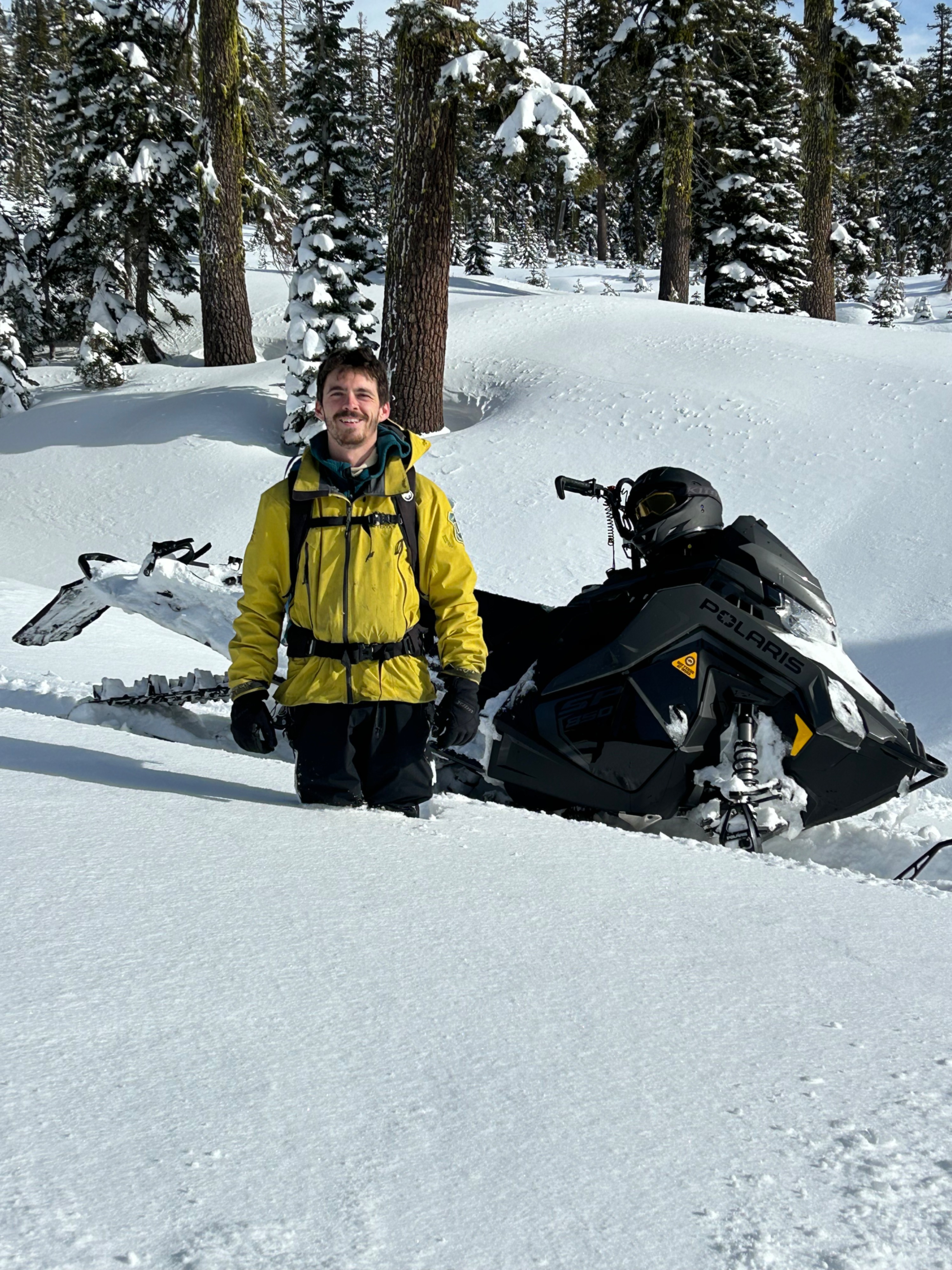
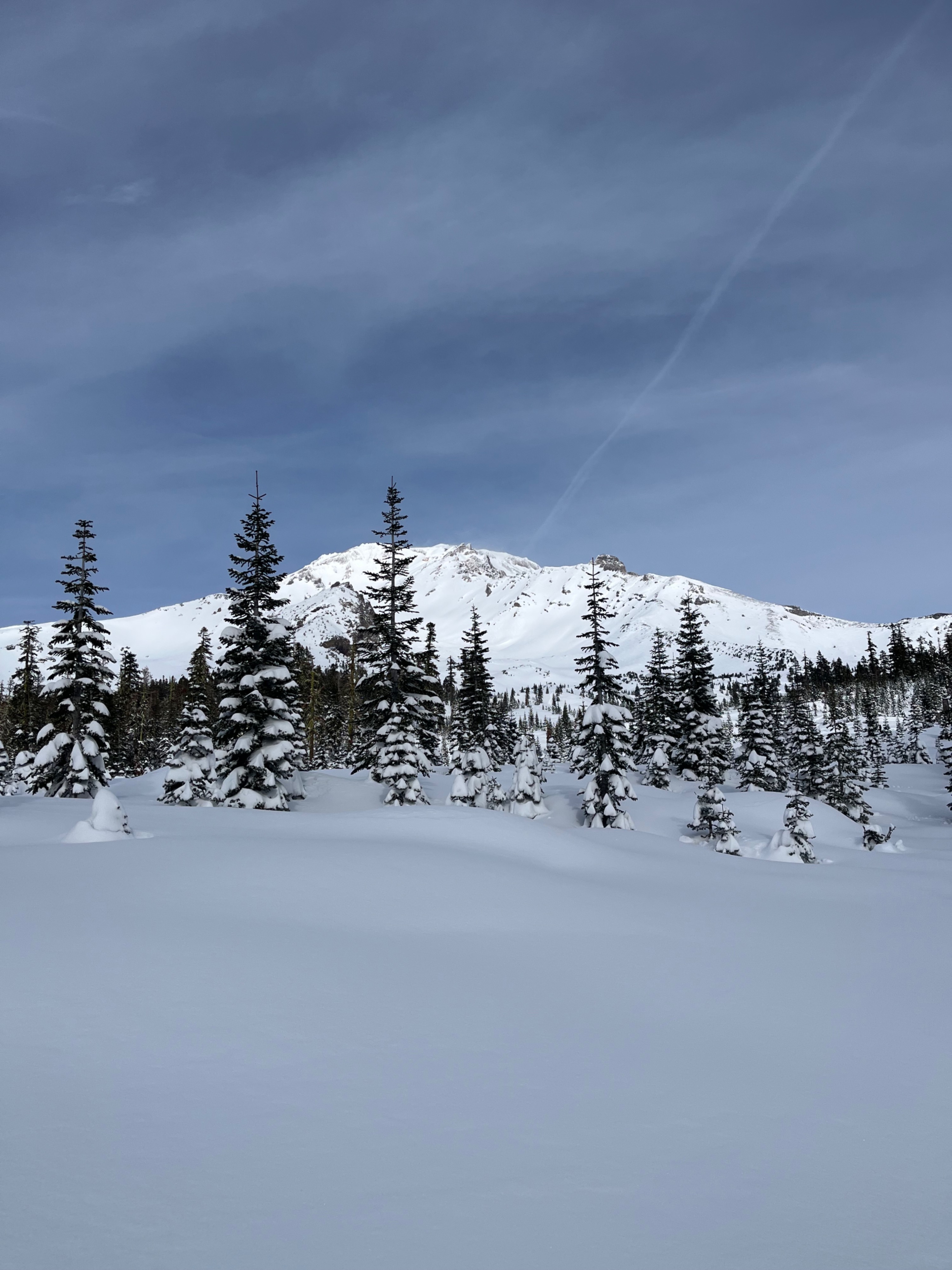
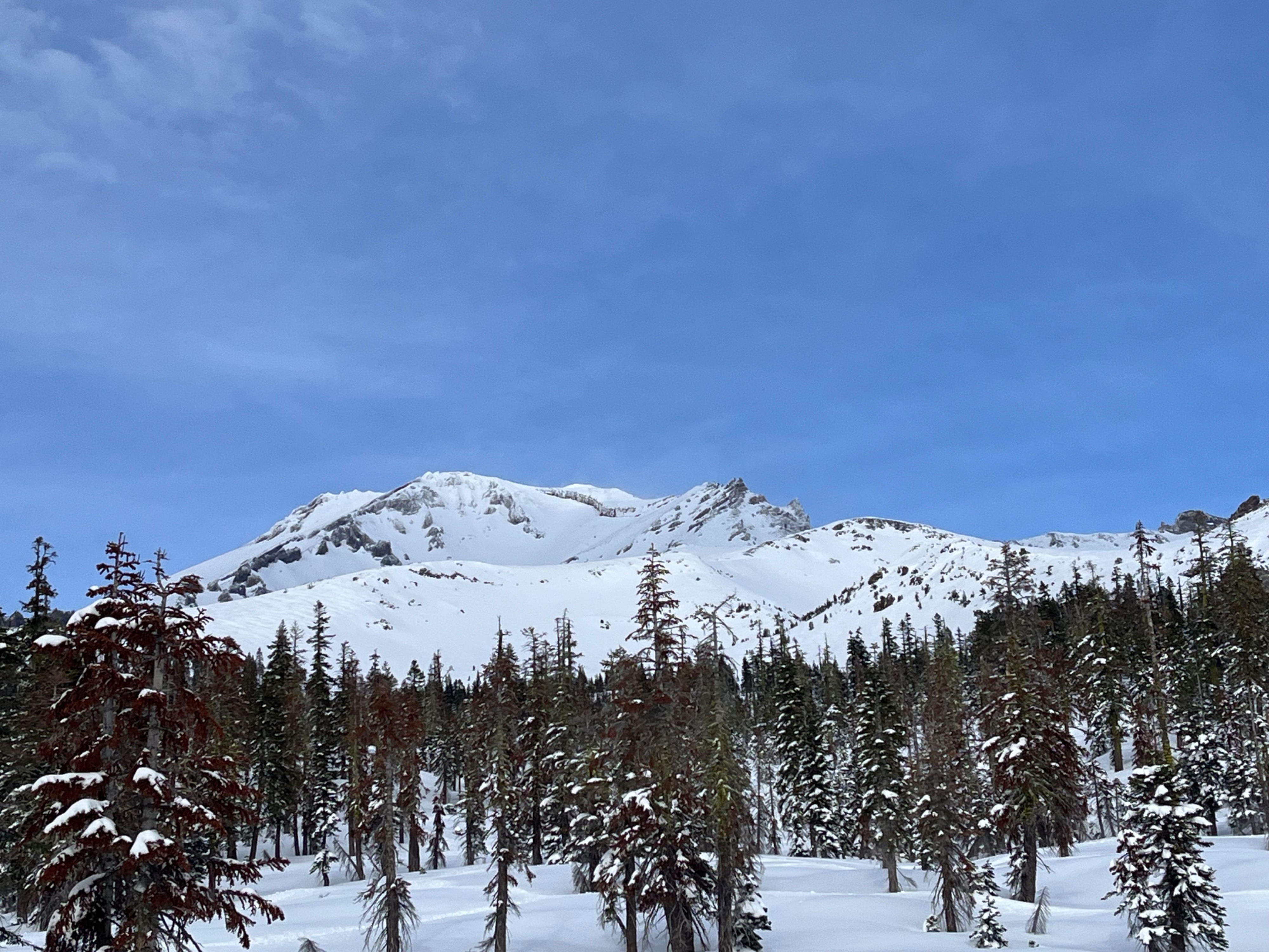
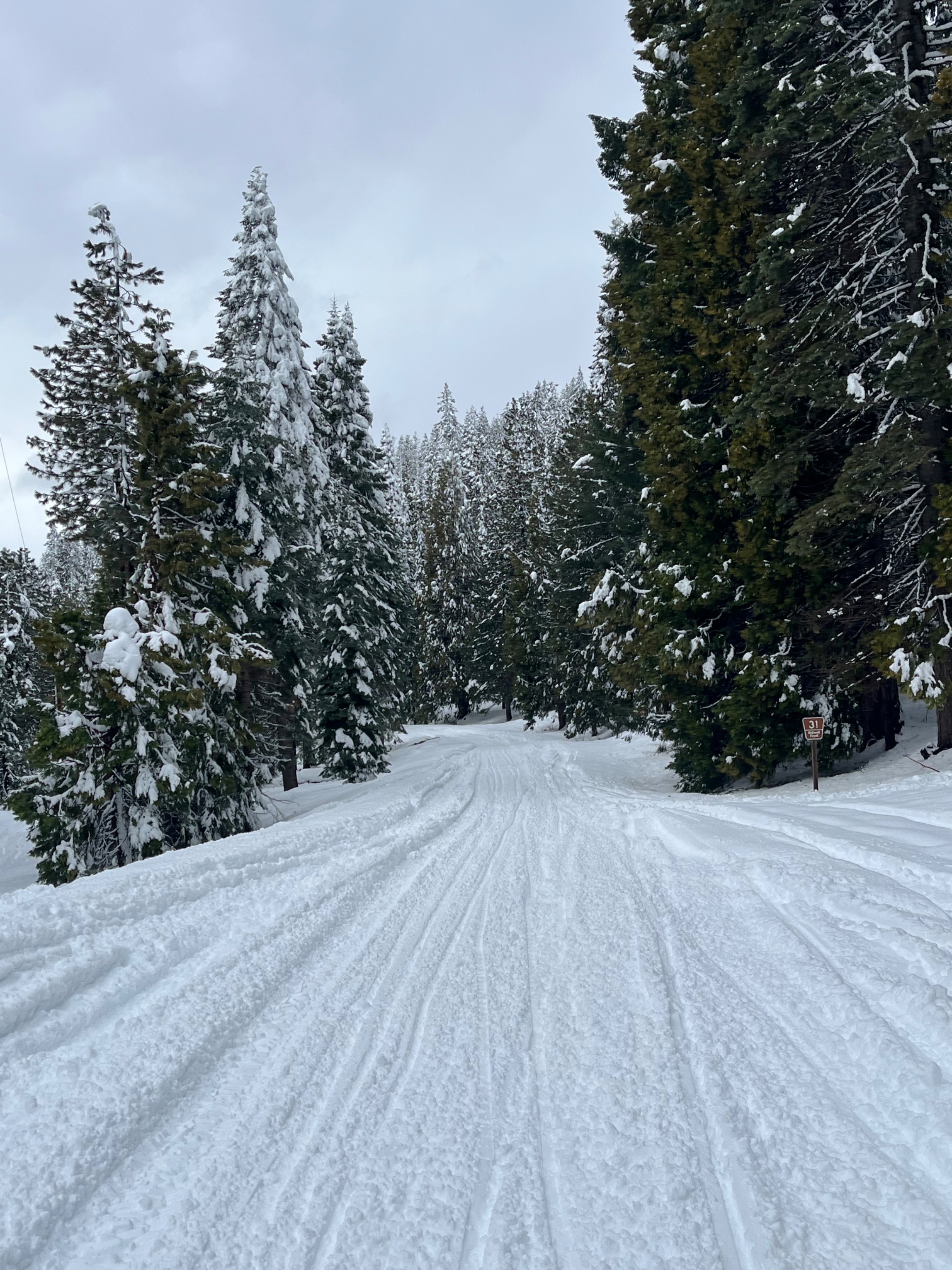
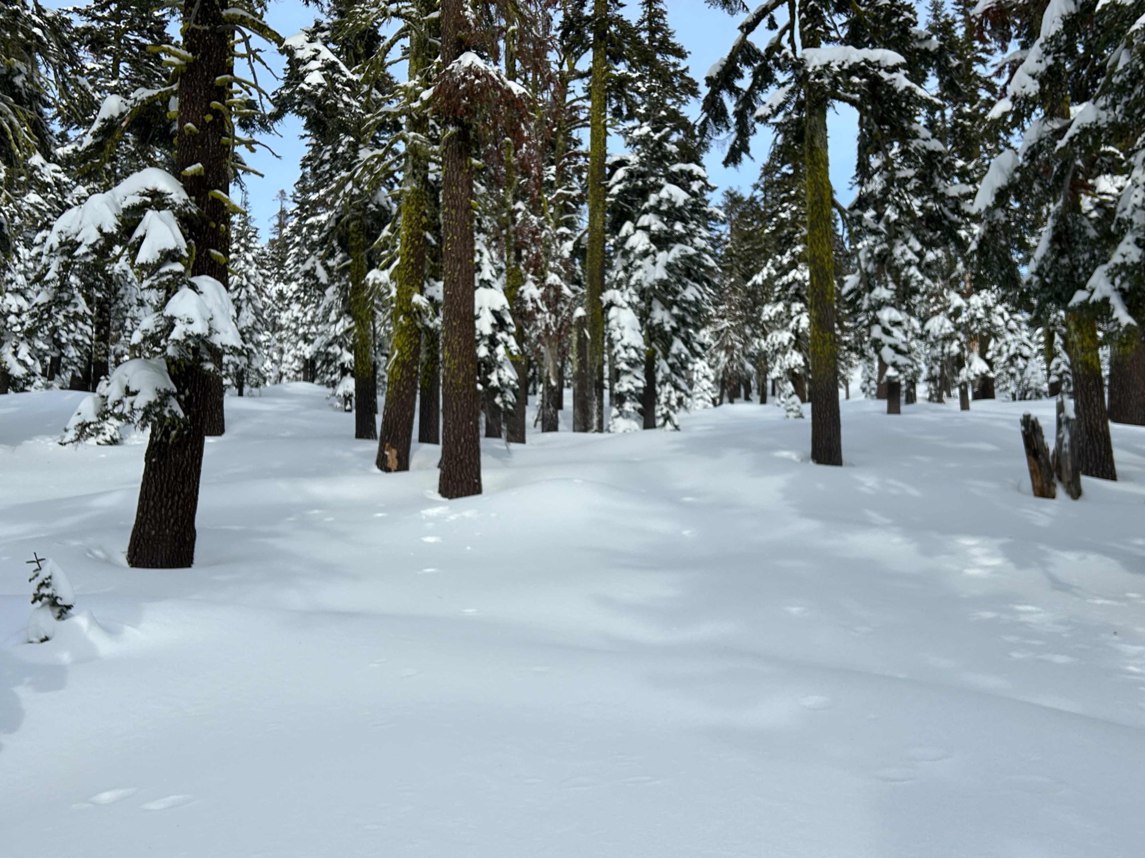
Multiple feet of snow exists in the Mount Shasta backcountry. Observations were limited to below and near treeline, primarily on southern aspects. Forecasters observed no red flags or recent avalanche activity. Deep snow made for challenging travel and expert level riding conditions.
Weather
- Air Temp
- 22
- Cloud Cover
- scattered
- Wind Loading
- previous
- Recent Snowfall
- 0
- Snow Avail For Transport
- moderate amounts
The intermittent break in storms made for pleasant weather. Visibility was sporadic with partial clearing of skies, calm to light winds, and below freezing temperatures.
Snowpack
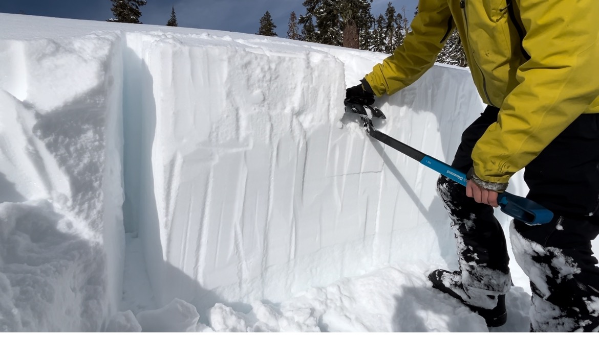
Today no natural signs of instability (cracking, collapsing, or recent avalanches) were observed. An upside-down snowpack exists near and below treeline. This means harder snow sits above softer snow, making it unsupportable to the weight of a human, semi supportable to a snowmobile, and most supportable to skis/boards.
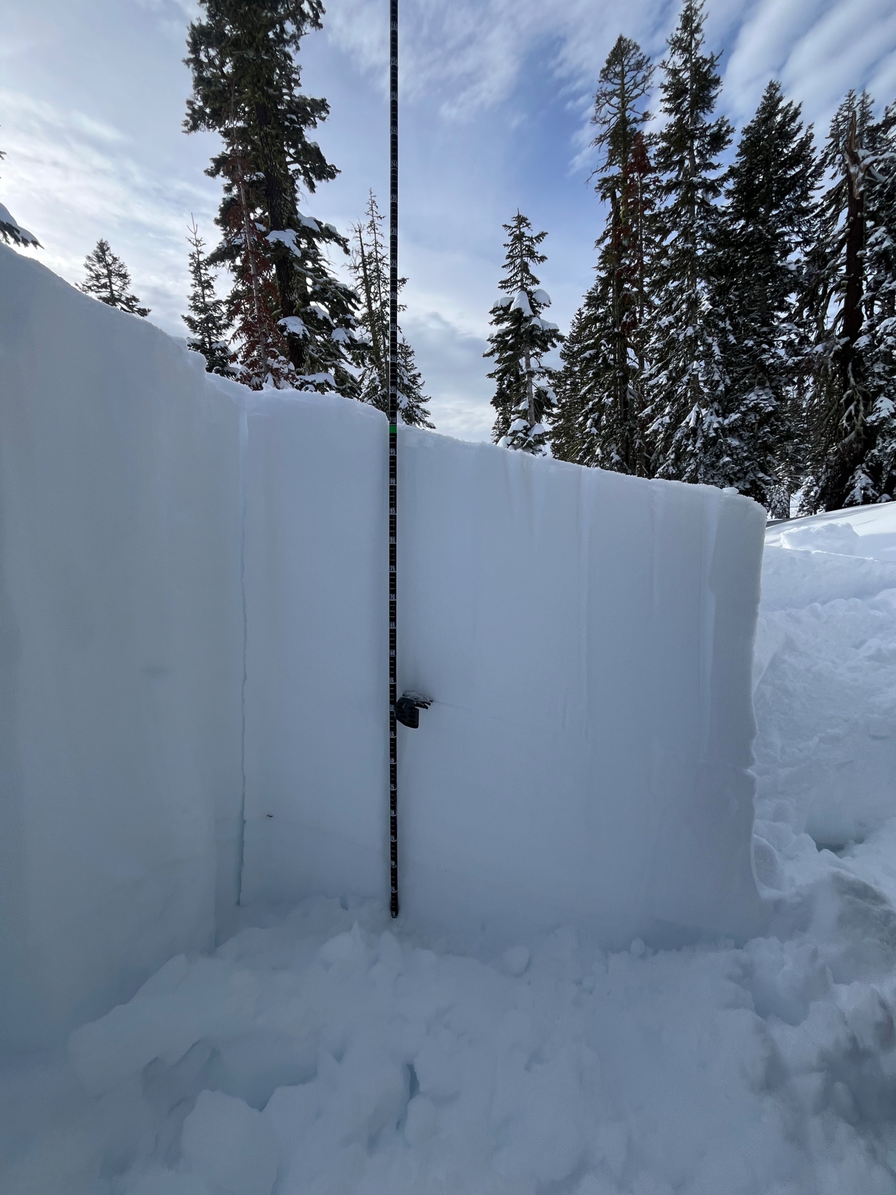
Since Thursday, December 12th, roughly 75 cm (30 inches) of snow has fallen near treeline. A storm interface exists 45 cm down that both a ECT and PST received stubborn results on. Test were preformed on south and north aspects to compare results. Findings highlighted the north aspect to be more reactive than south, due to the cold and preserved snow. While triggering an avalanche on this layer may be unlikely, it's not impossible. With more snow in the forecast, and cold short days, interfaces like this one can fester and remain active. Very steep northerly aspects subjected to a large load could result in an avalanche on this layer.
Test results:
South aspect - 7,300 ft
- ECTX-26-45 cm down
- PST 90/100-45 cm down
North aspect - 7,300 ft
- PST 45/100-45 cm down
- ECTX