
Quick report
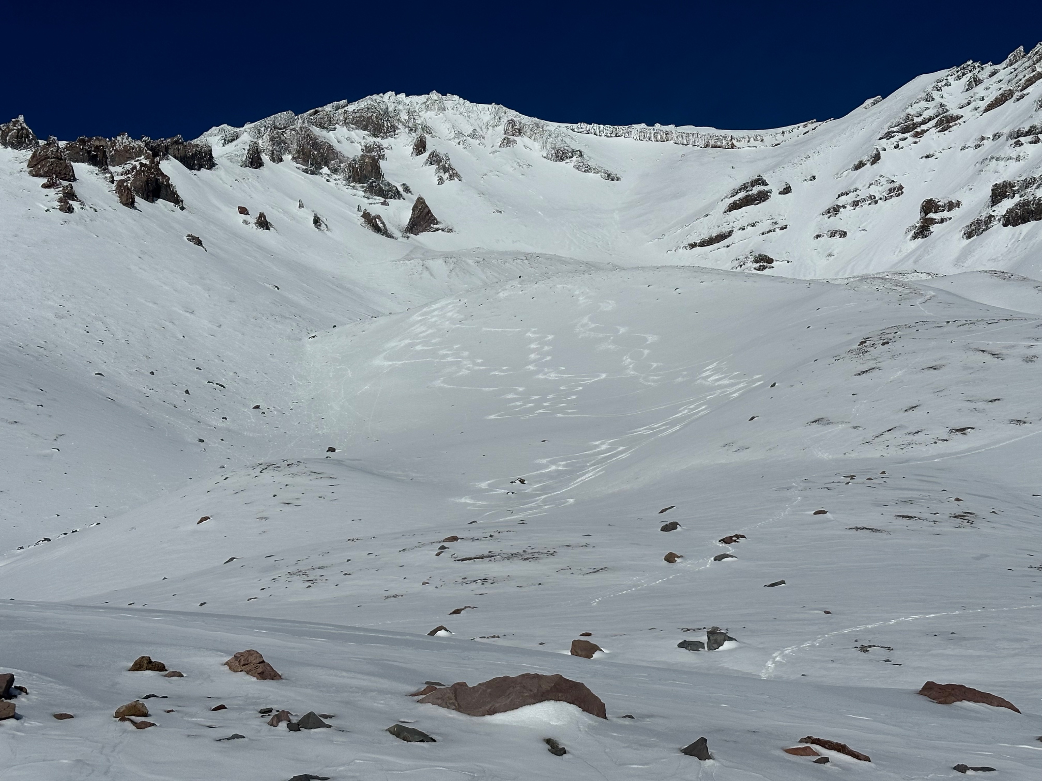
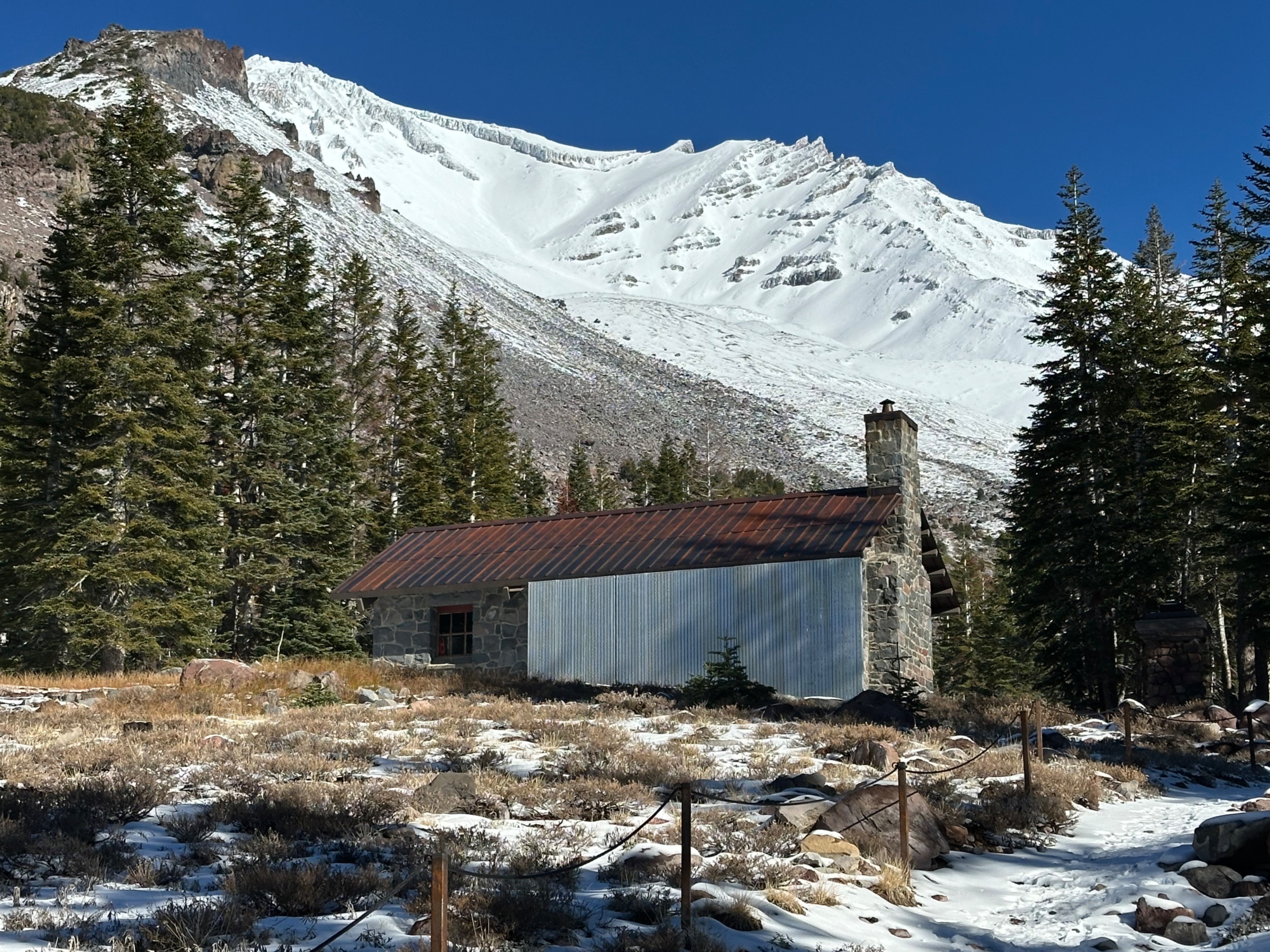
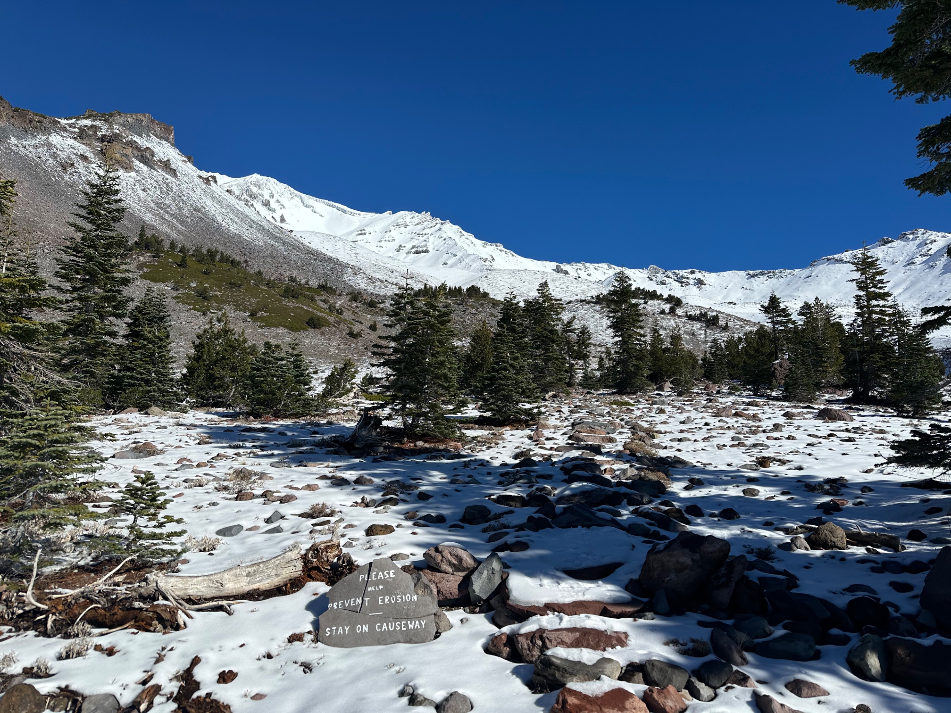
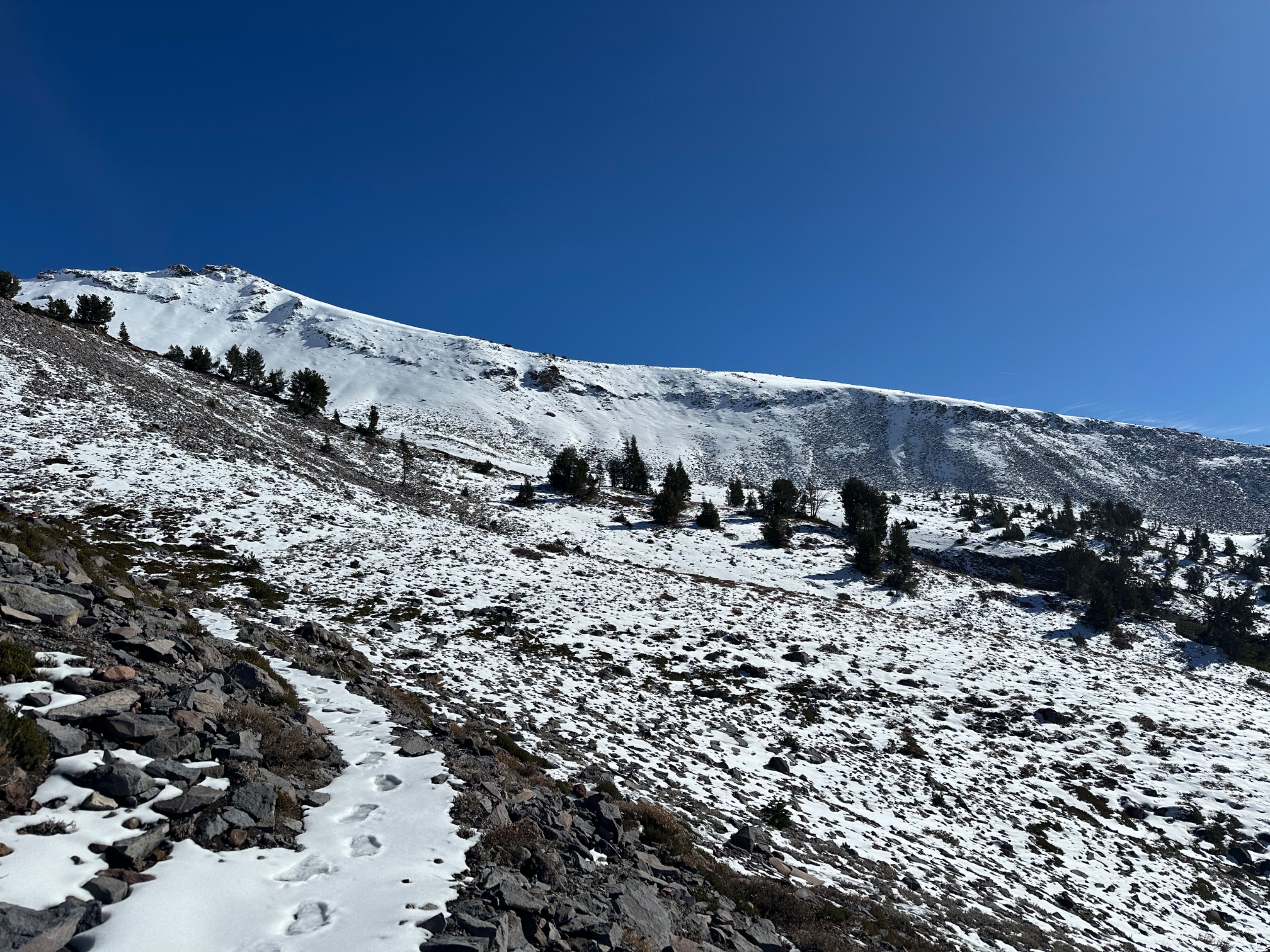
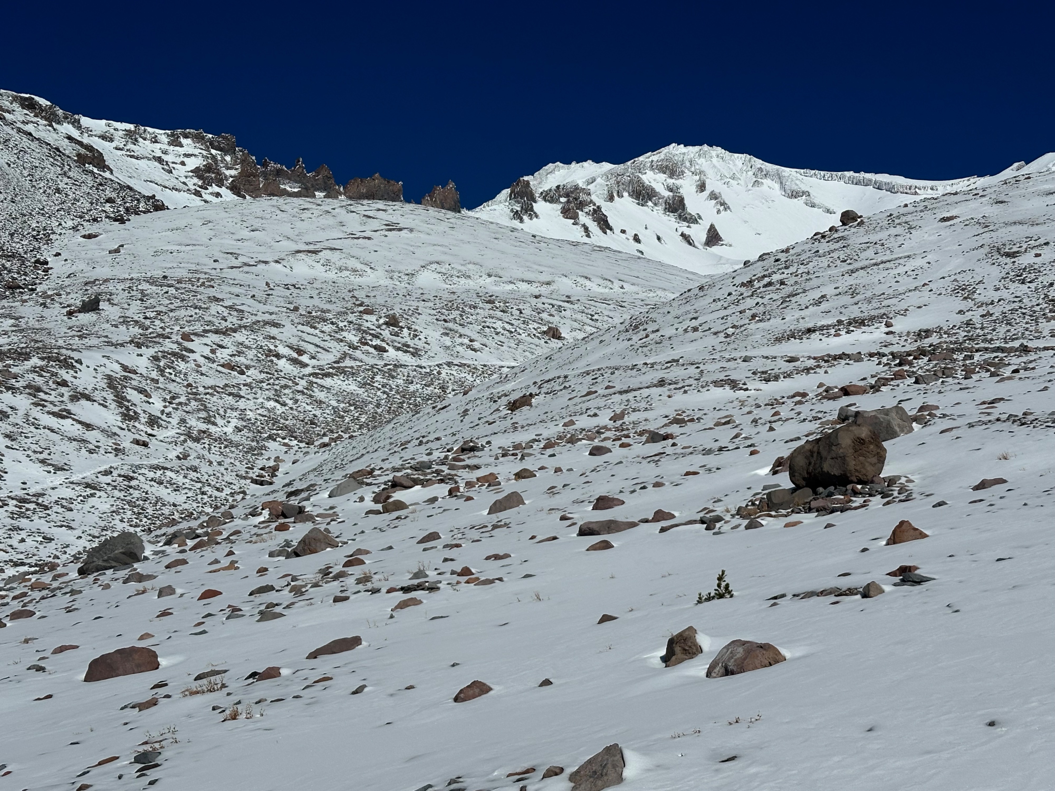
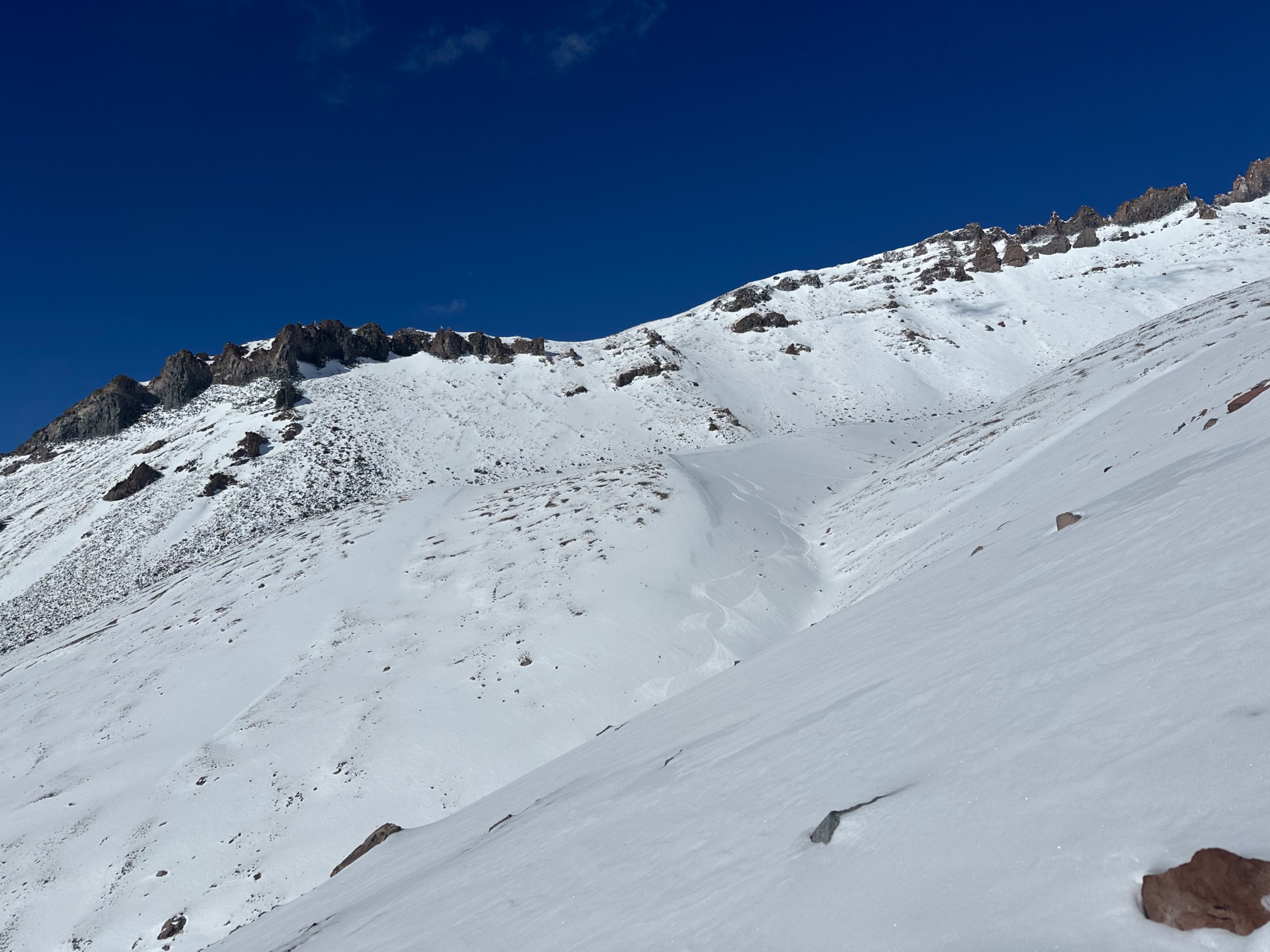
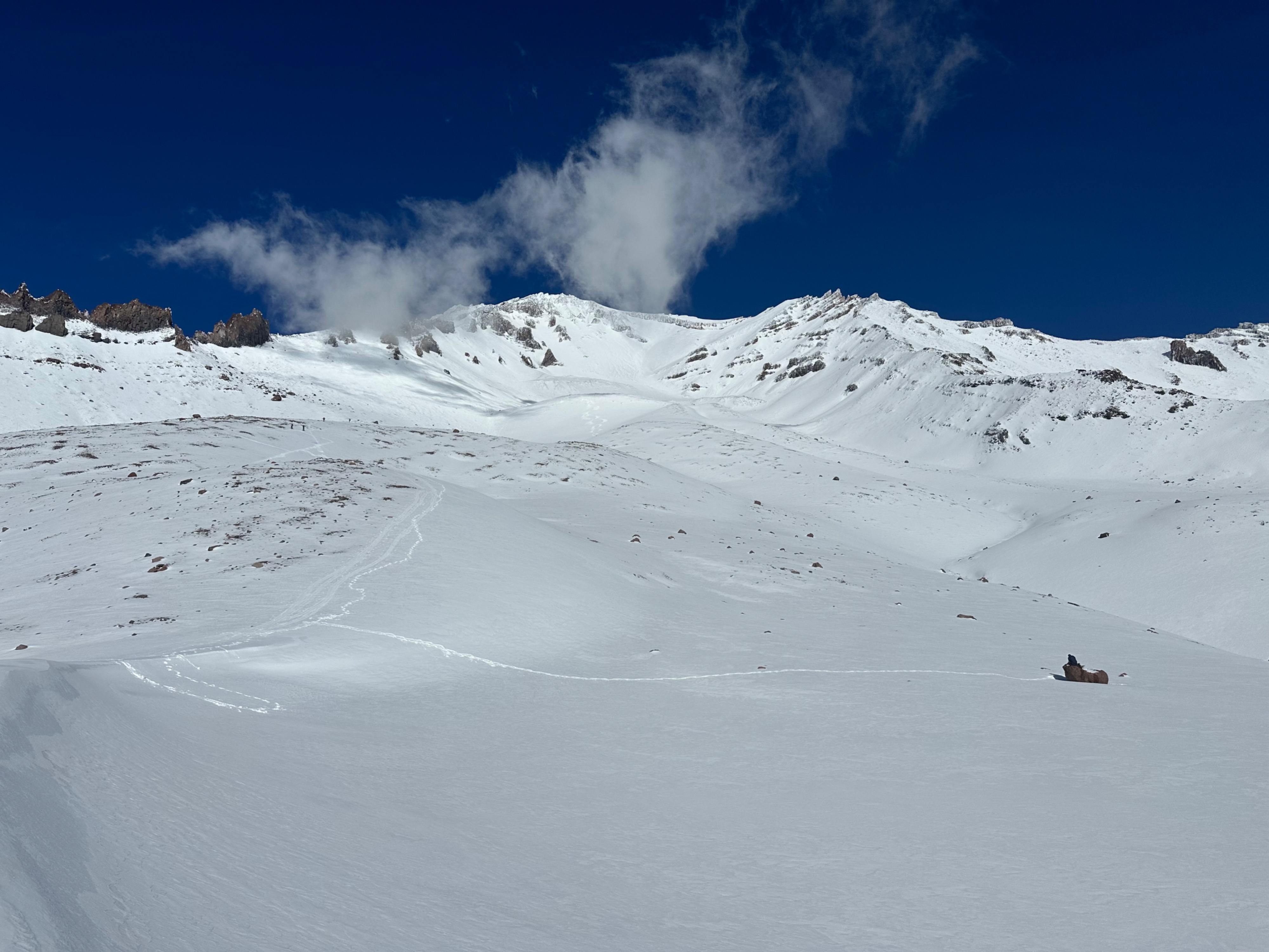
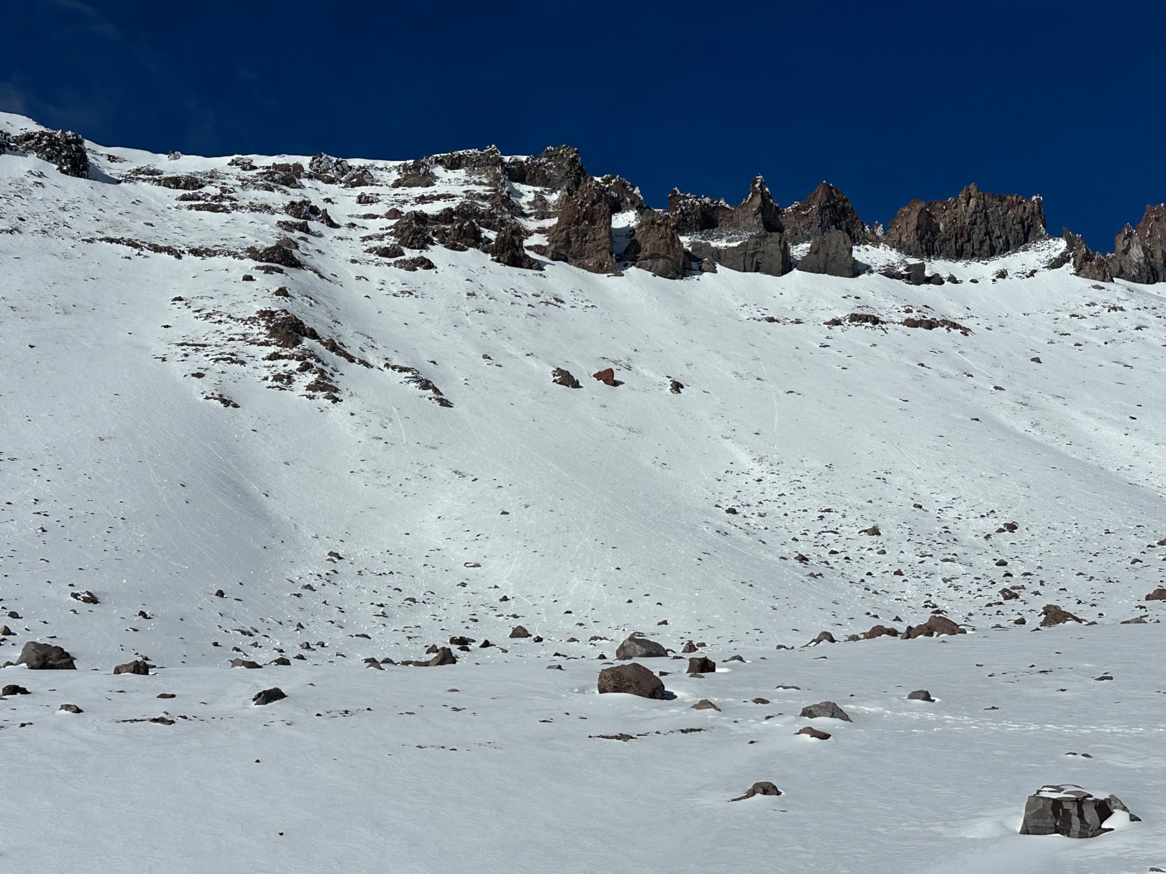
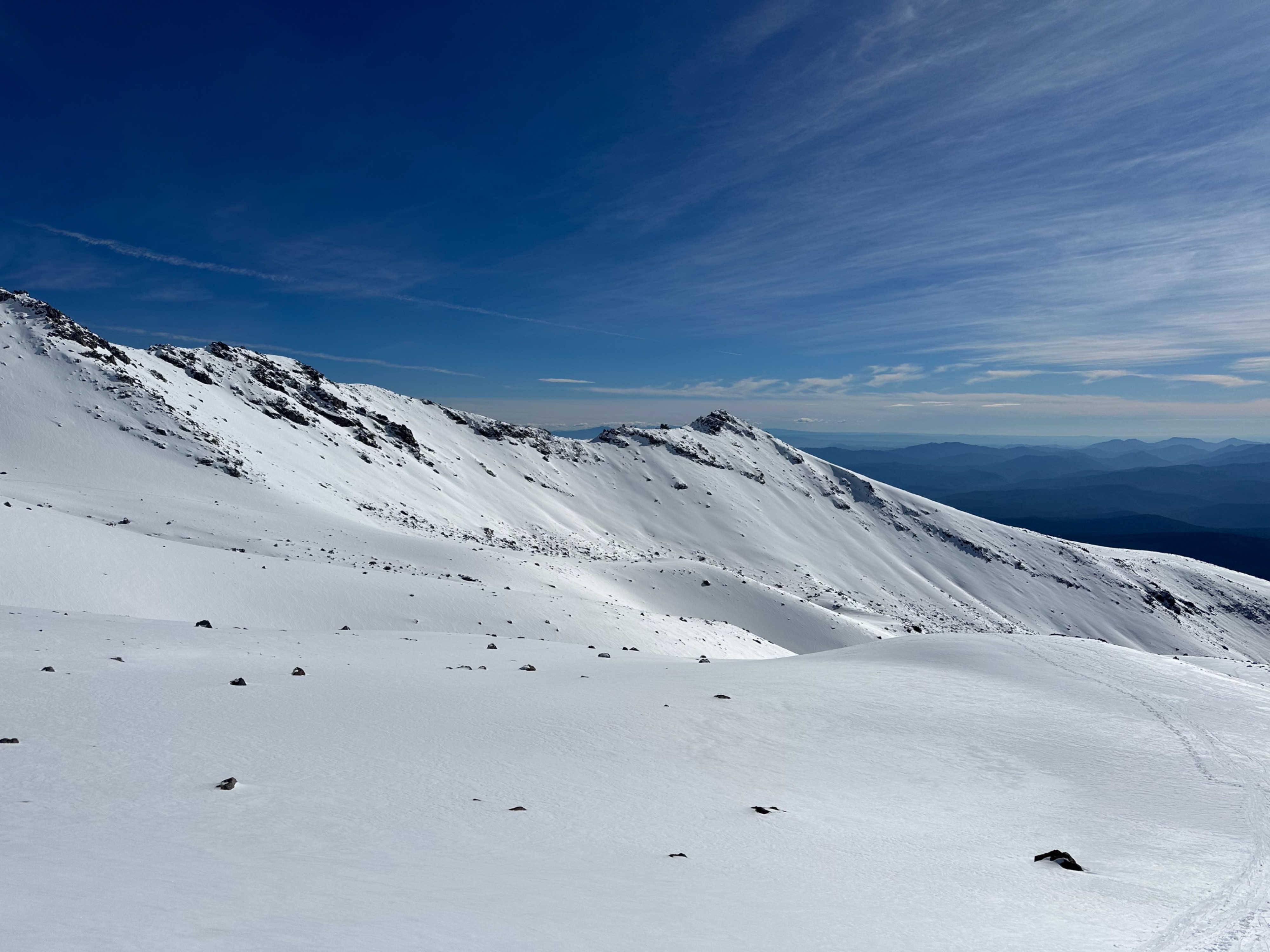
Snow coverage in Avalanche Gulch has increased since the latest storm (11/12-11/14), though snow depths remain highly variable. Snow depths ranged from 0 centimeters below treeline and on sunny or wind-scoured aspects, to up to 170 centimeters on a wind-loaded feature at 9400 feet. Near and above treeline, snow depths are all over the place, but do increase with elevation, on shadier aspects, and on wind-loaded features. Many mid to upper elevation starting zones now hold enough continuous coverage to act as a bed surface with future loading, such as the upcoming period of active weather. Rock and rime-fall from solar aspects on Casaval Ridge into Avalanche Gulch was consistent during the tour. A number of folks enjoyed the pleasant weather and early-season turns from Helen Lake, though there are plenty of visible and shallowly buried rocks to navigate.
Weather
- Air Temp
- mid 40s
- Cloud Cover
- few
- Wind Loading
- none
- Snow Avail For Transport
- small smounts
A sunny and mild mid-November day. Light winds at all elevations increased to moderate (easterly) above treeline by mid-afternoon.
Snowpack
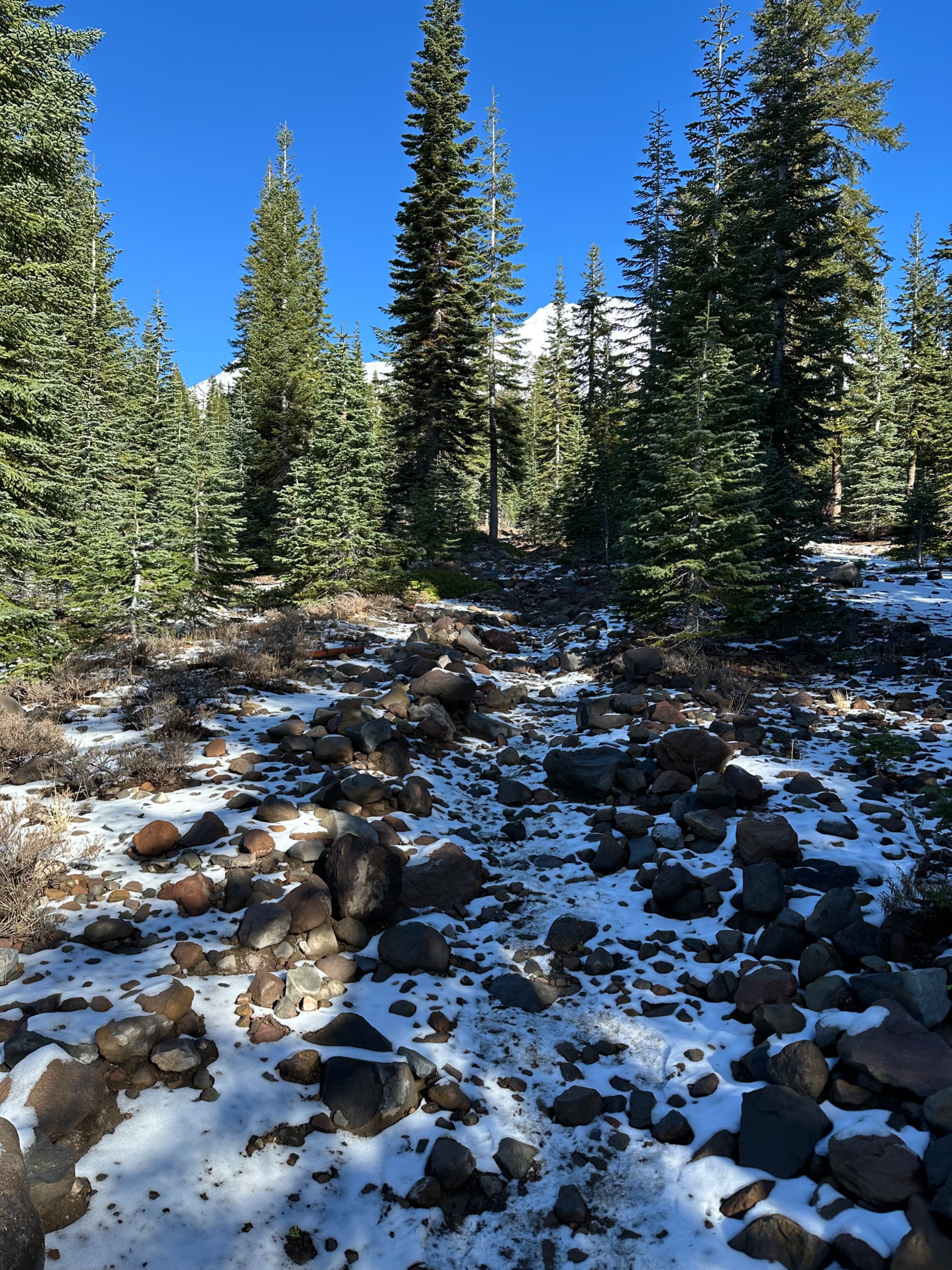
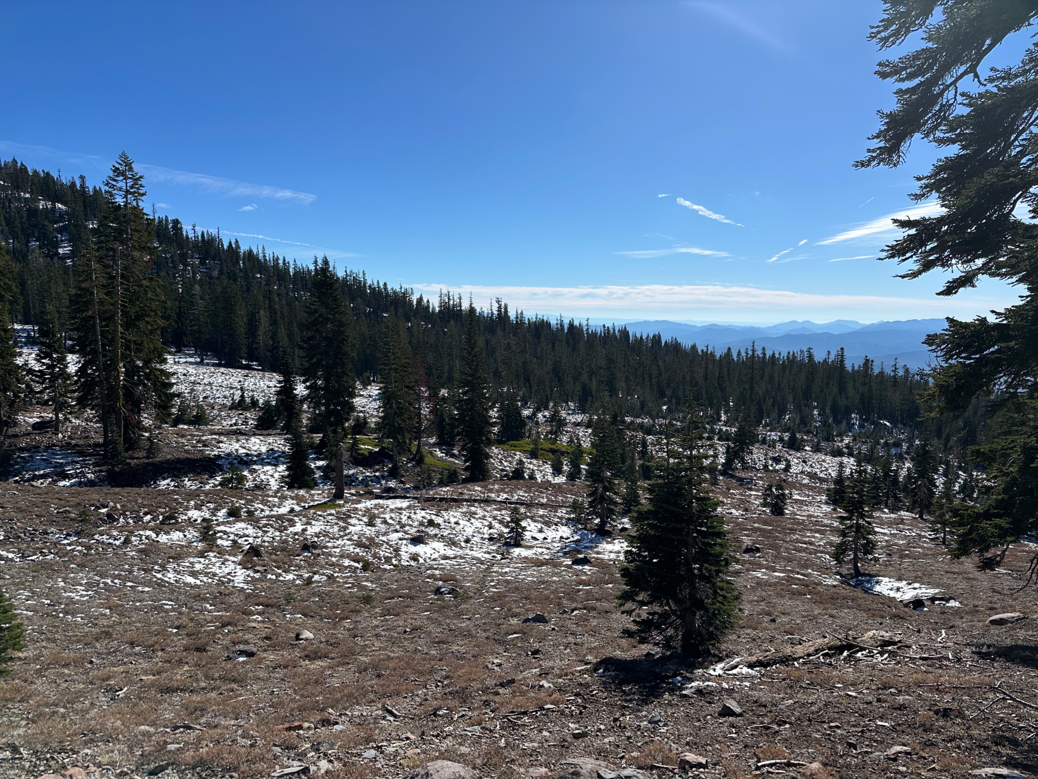
Snowpack depths are highly variable in Avalanche Gulch. Below treeline is mostly bare ground, with up to ~1.5 inches (4 centimeters) of snow in shaded depressions. Consistent snow coverage can be reached in the Climbers' Gully above Spring Hill at ~8500 feet, though there are plenty of rock and plant obstacles to navigate. In general, snow depth and coverage consistency increase with elevation, on shadier aspects (flat or more northerly-facing terrain features), and on previously wind-loaded features (such as moraine tops, gullies, and other concave features). The wind-loaded tops of moraines held the most snow--I measured 55cm at 8800 feet, 150cm at 9200 feet, and 170cm at 9400 feet. But with all of these measurements, it depends on precisely where you place the probe.
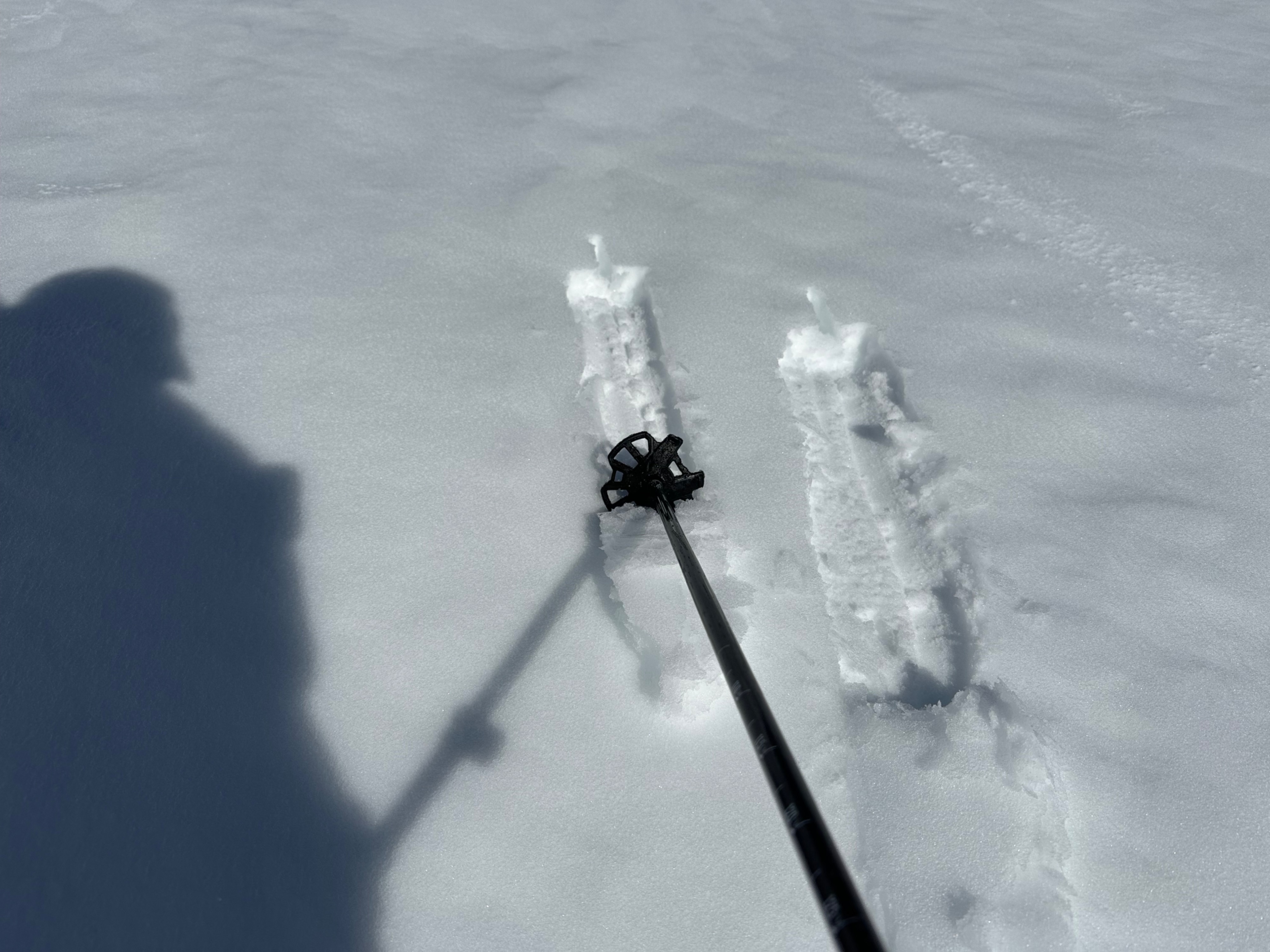
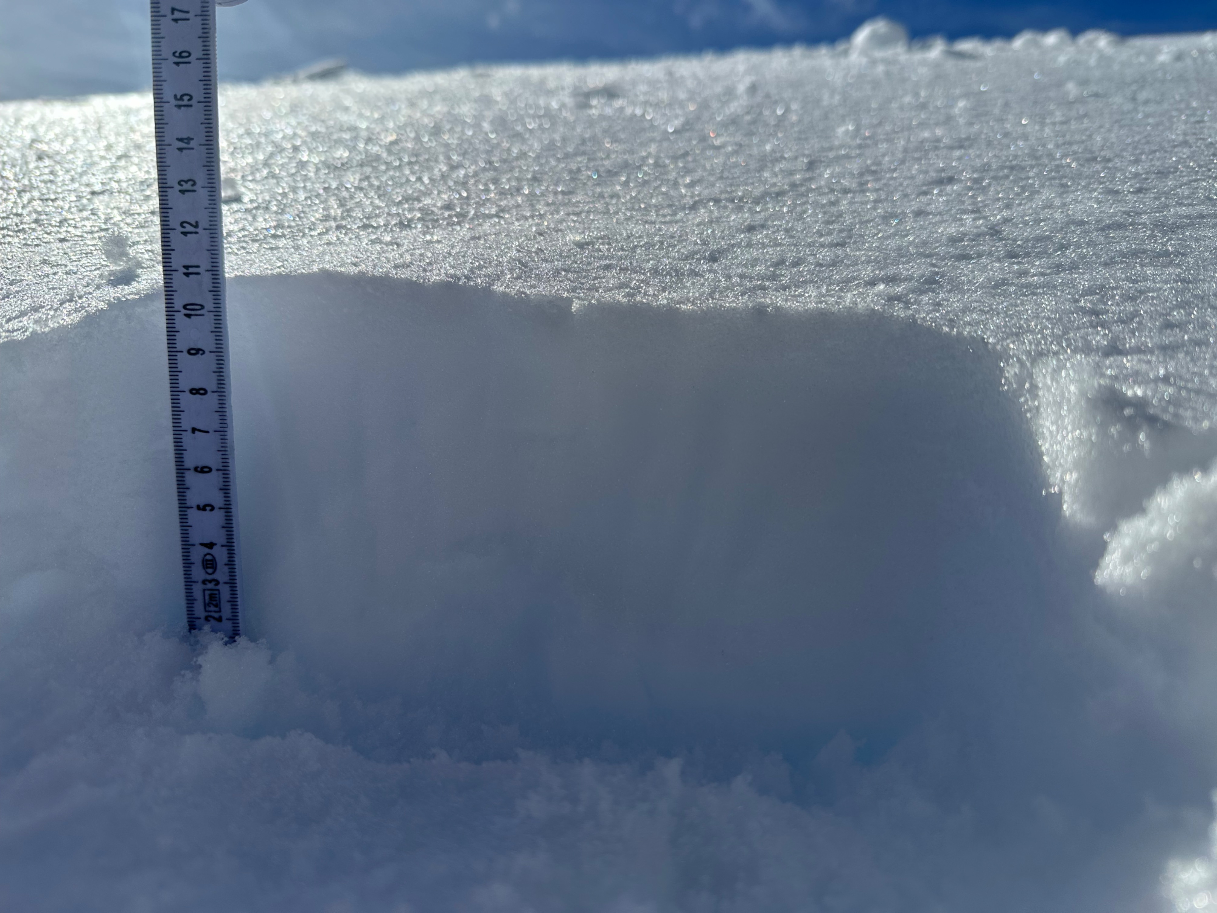
At 9400 feet on an east aspect, about 65 cm of new snow from this week's storm (11/12-11/14) sat atop 45 cm of old snow. On the snow surface, 11cm of softer (4F to 1F) snow sat above a stronger crust 20cm thick.
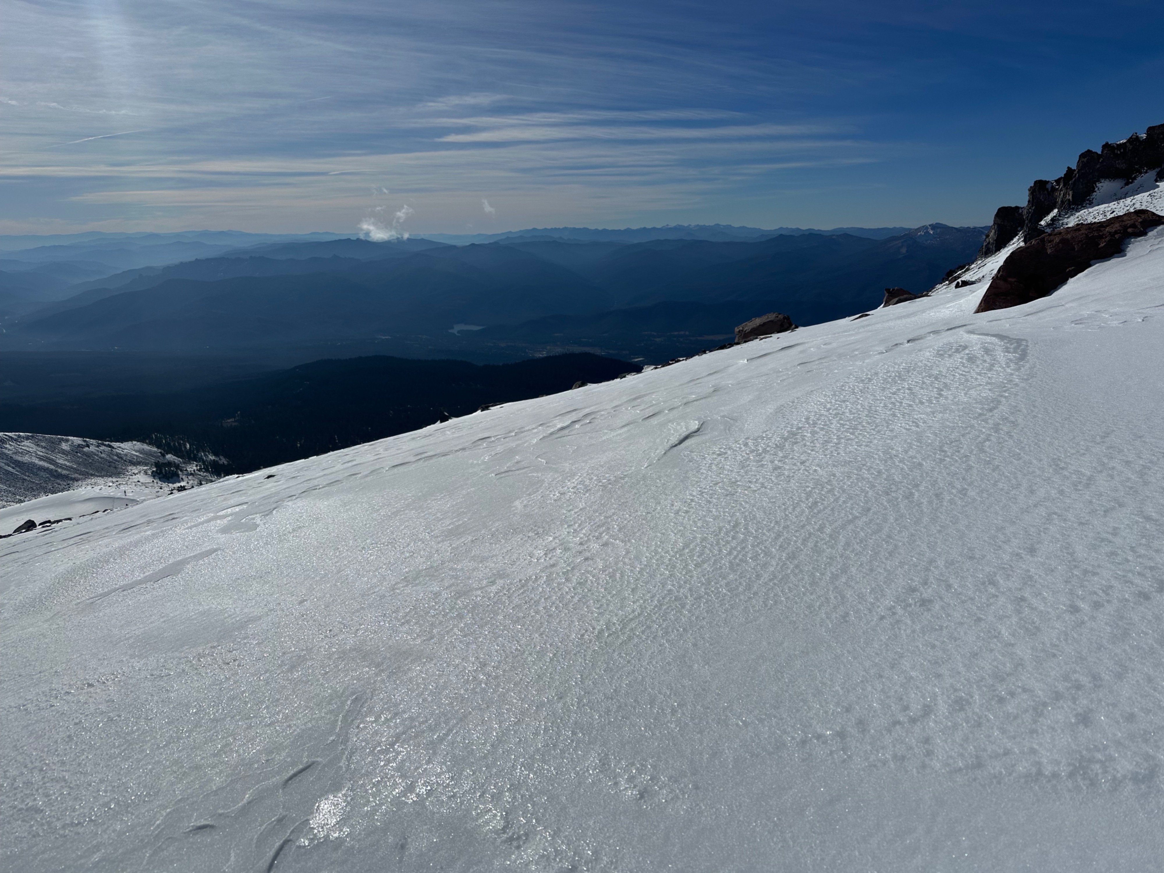
Snow surfaces were mostly smooth but showed some signs of wind effect. Surfaces softened throughout the early afternoon. No signs of recent avalanches were observed.