
Quick report
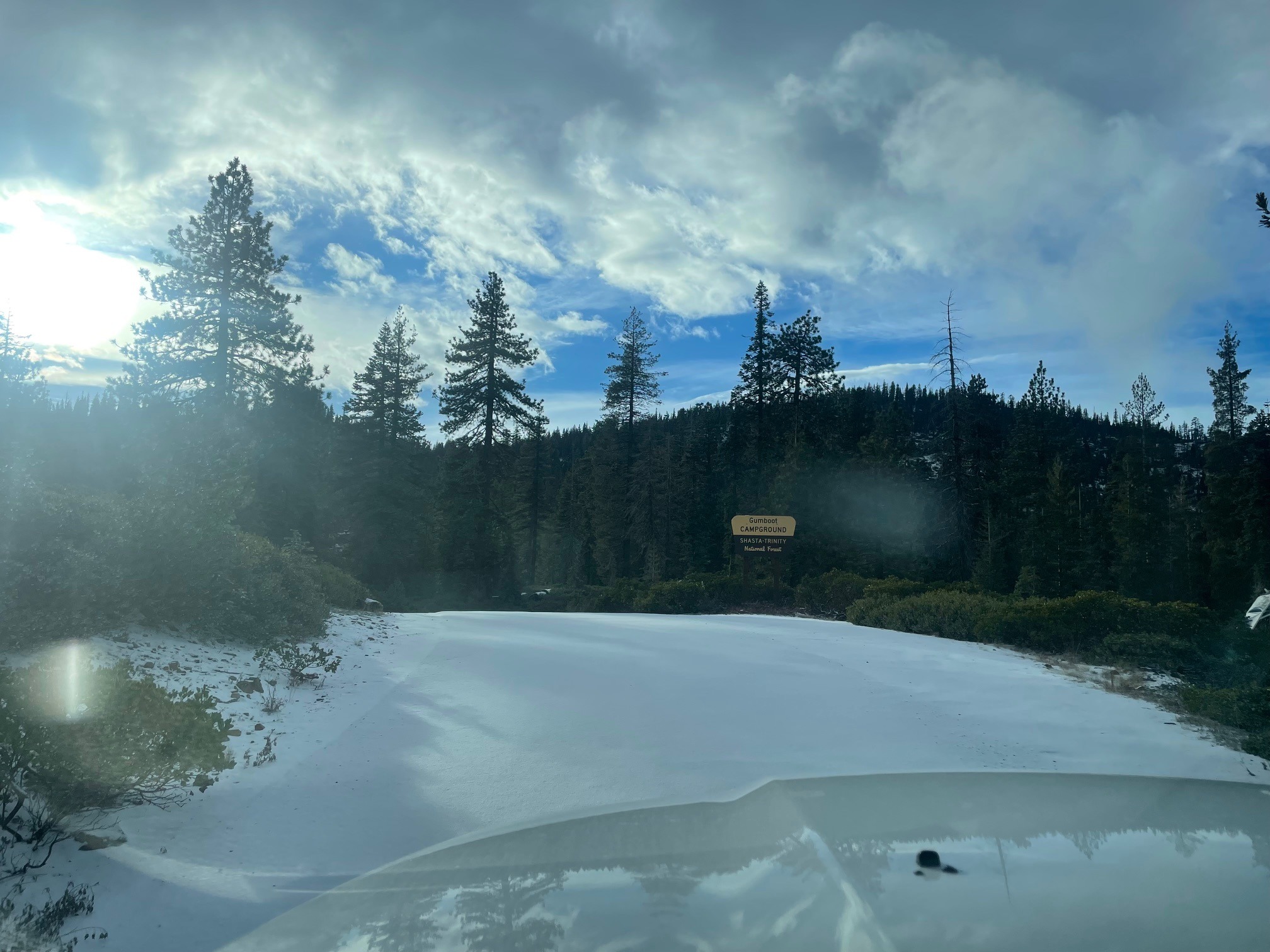
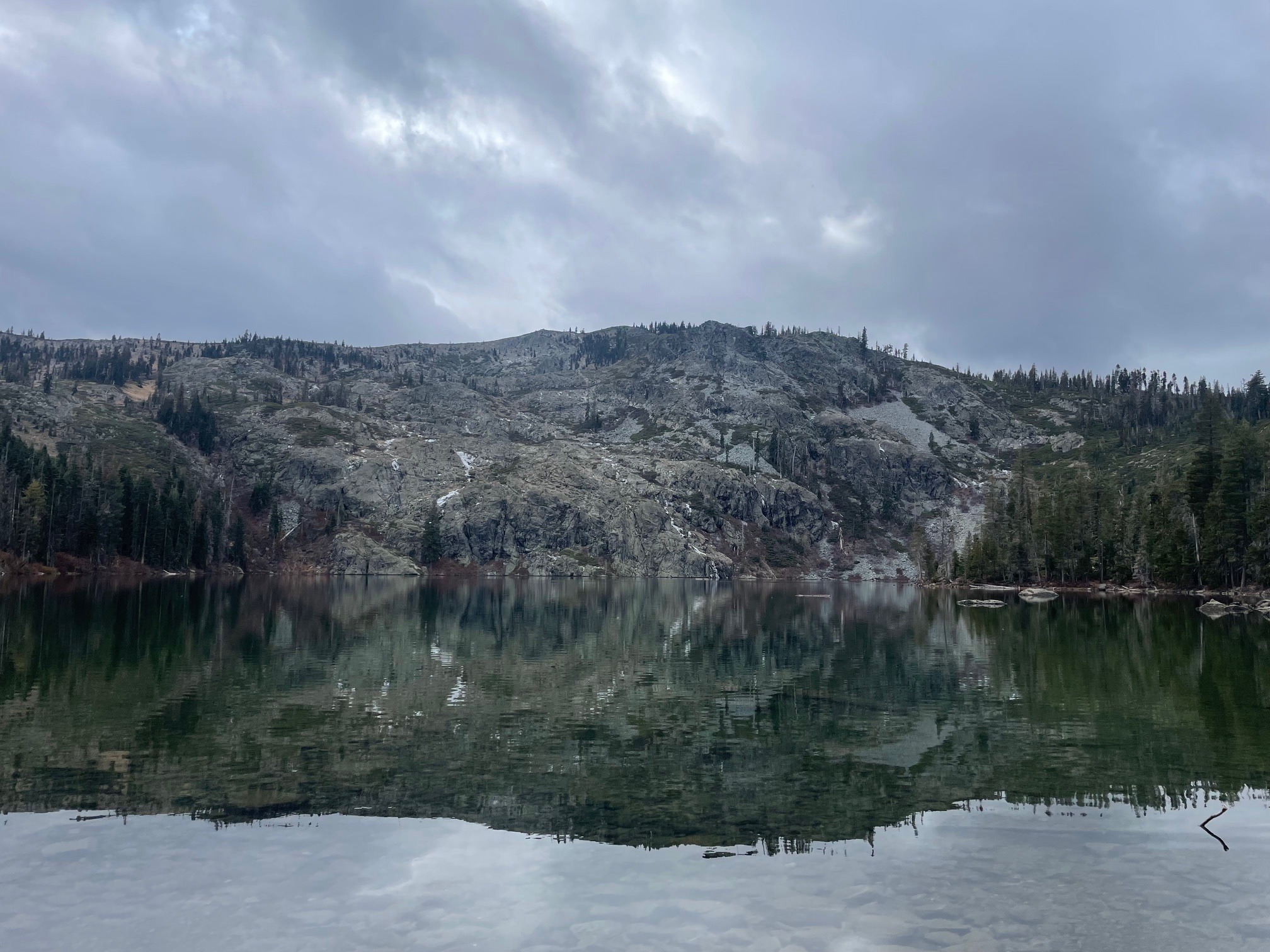
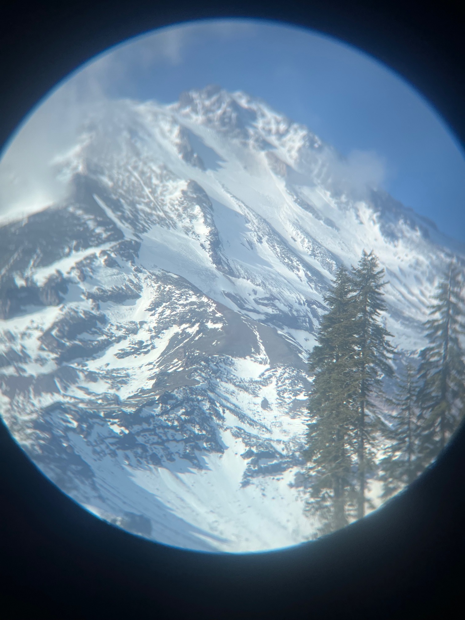
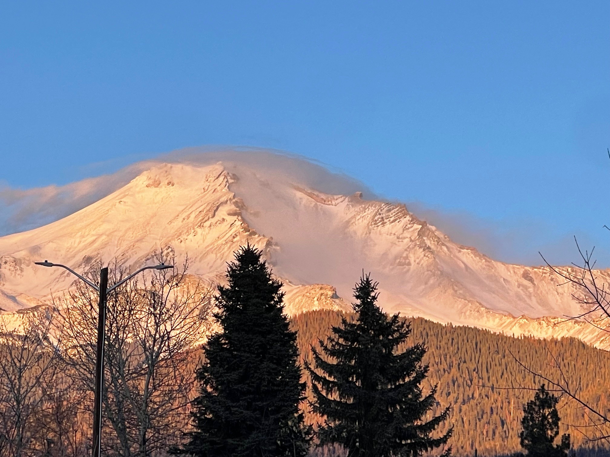
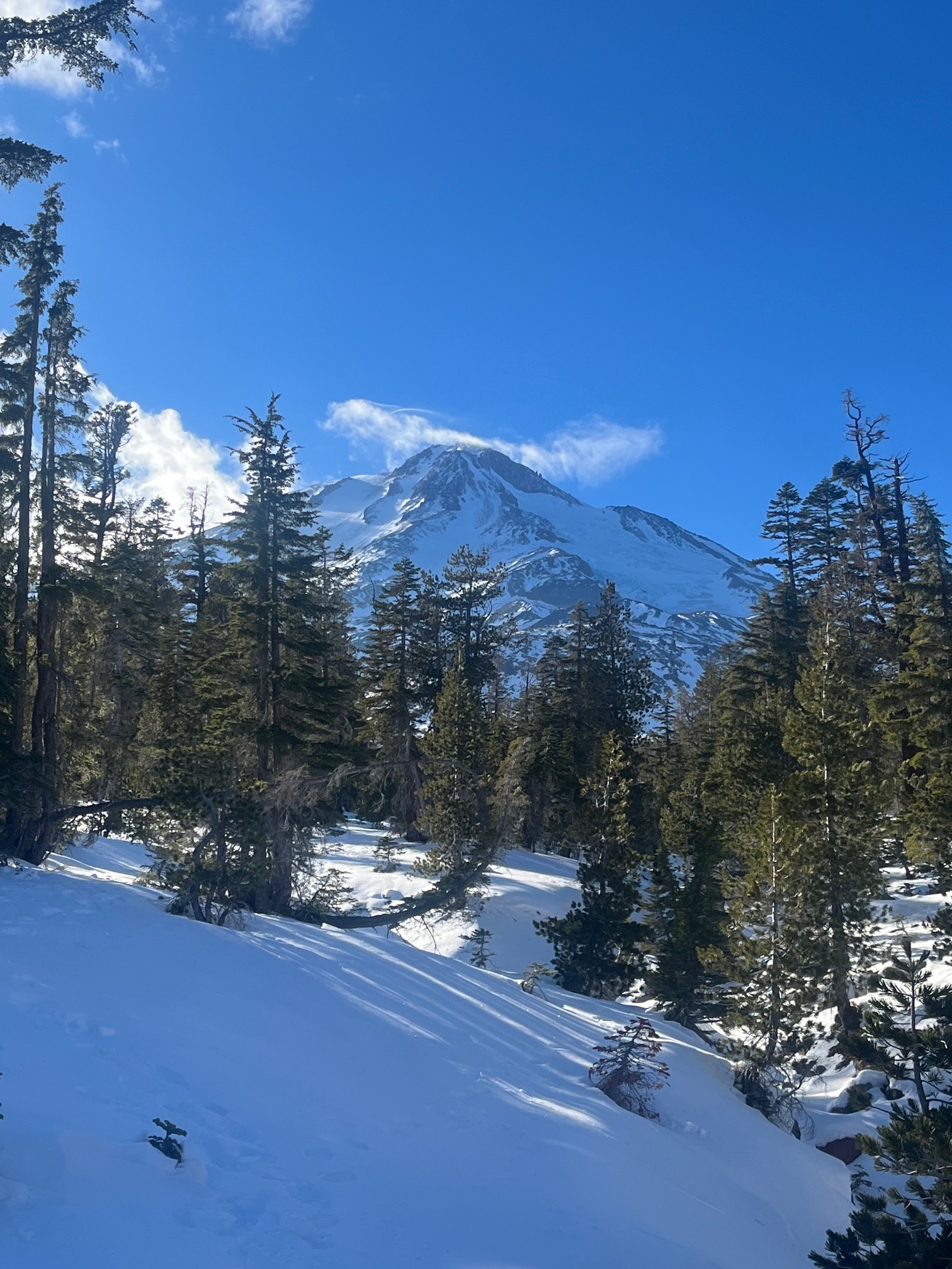
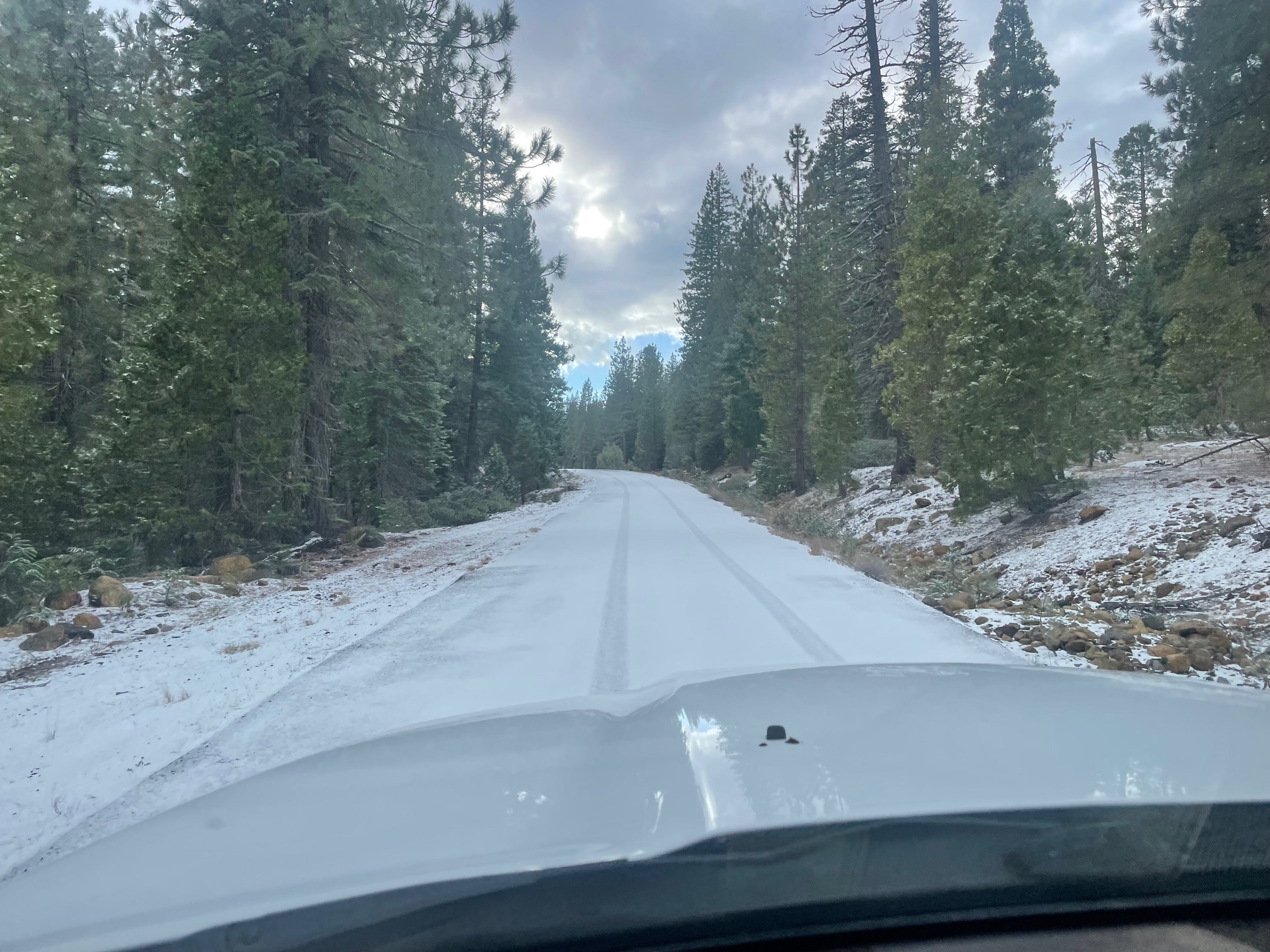
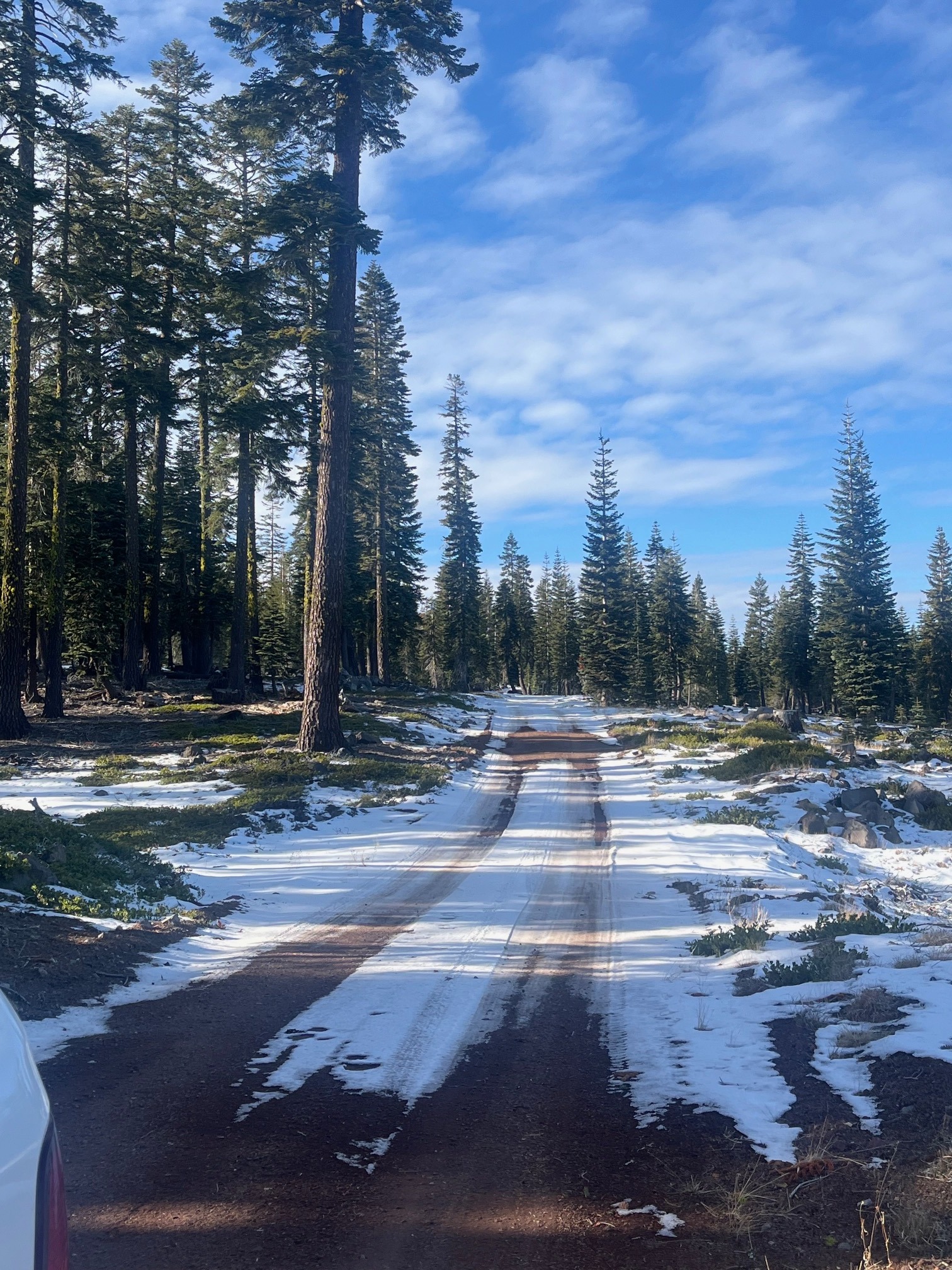
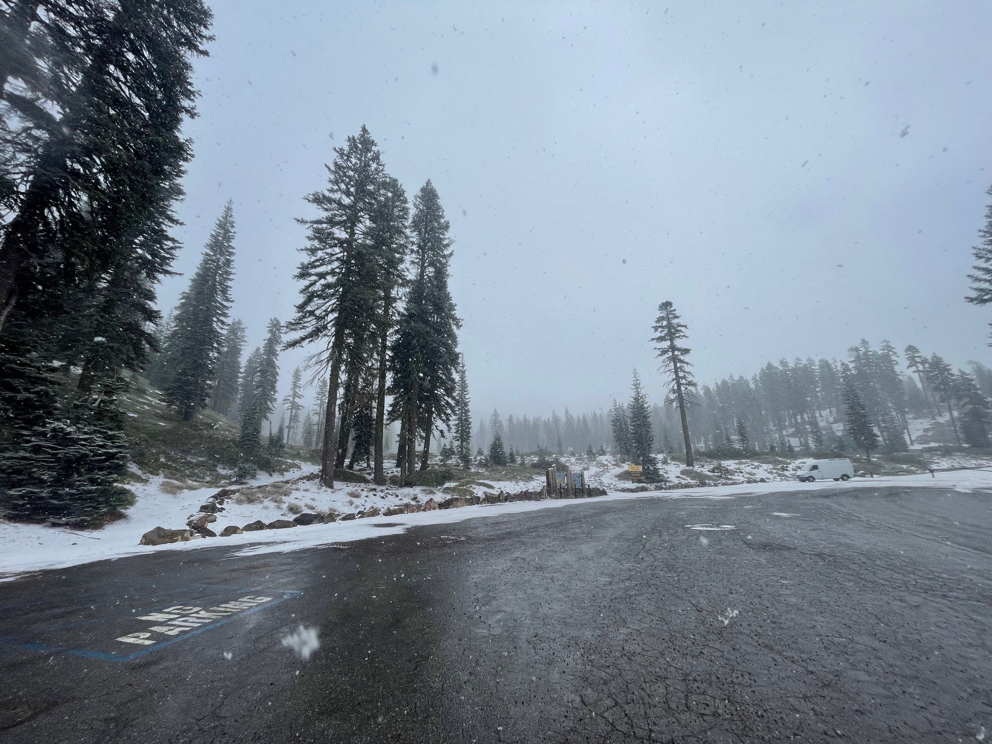
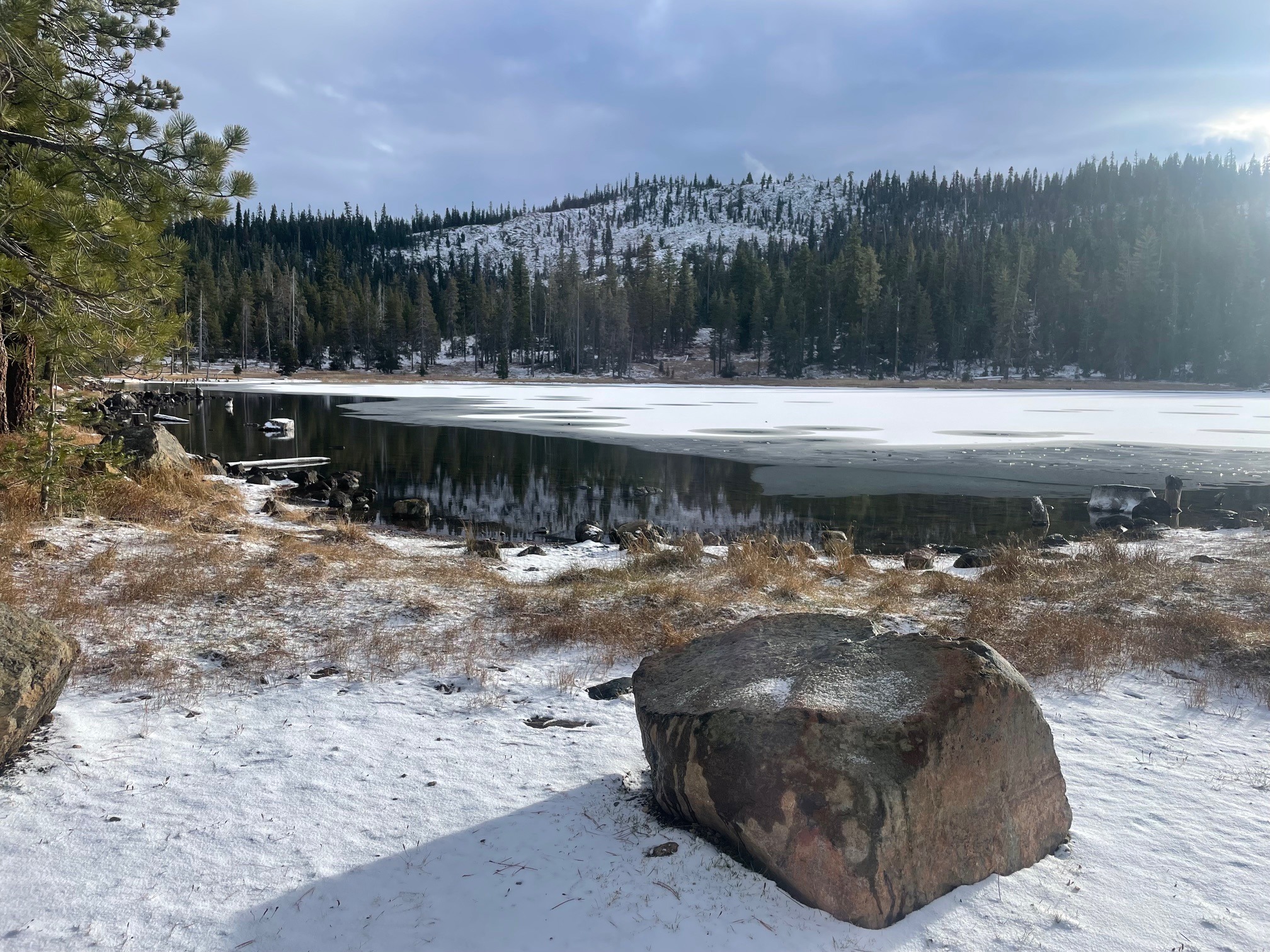
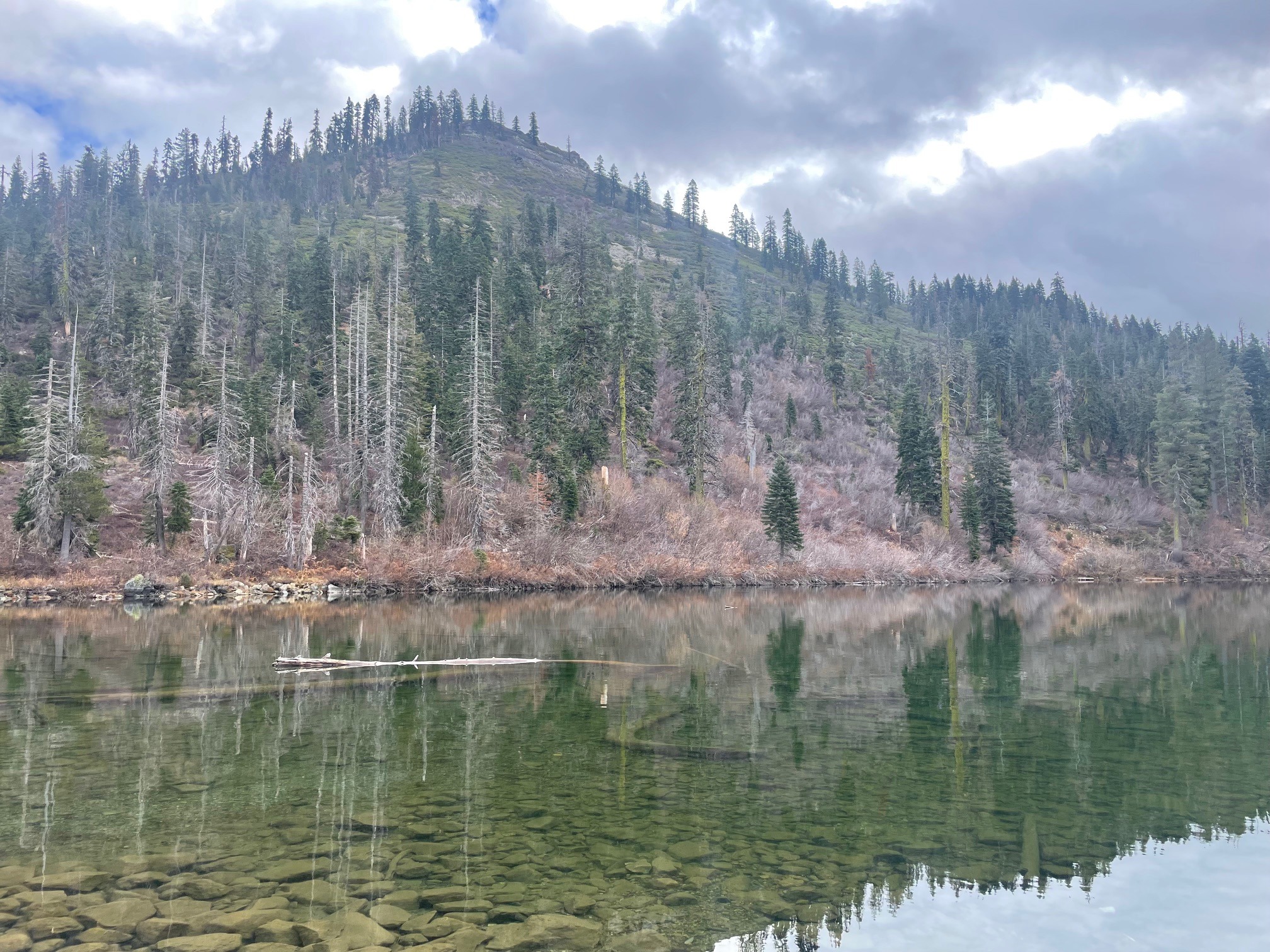
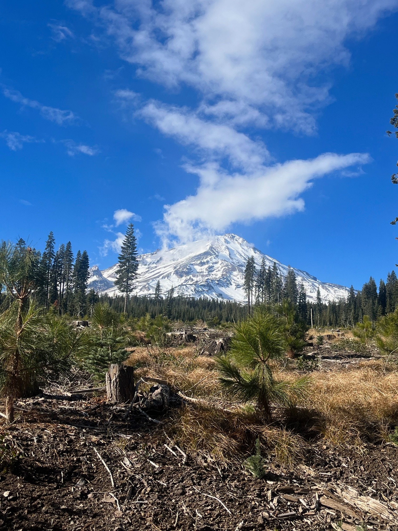
A handful of photos from around the forecast area highlighting current conditions
NoneWeather
- Air Temp
- 25
- Cloud Cover
- scattered
- Wind Loading
- light
- Rain Elevation
- 5,500
- Recent Snowfall
- <1
- Snow Avail For Transport
- small smounts
High pressure has dominated, however a series of storms entered the area late this week, starting on November 30th. The first wave brought just a skiff of snow with a few inches more anticipated by the end of the weekend. Snow levels remain above ~5,000 feet
Snowpack
Limited areas exist for over the snow recreation. Many obstacles are present. About 10 inches of snow is on the ground at treeline on Mount Shasta. A few have been getting out to ski, but it's not good, rad, epic, steep or deep. Existing snow surfaces are generally smooth and supportable for skis. Crust and sugary facets make up the snowpack. Gullies are beginning to fill in. Ridges and moraines are still exposed rock and scree on the mountain. Castle Lake and the west side, little to no snow exists