
Quick report
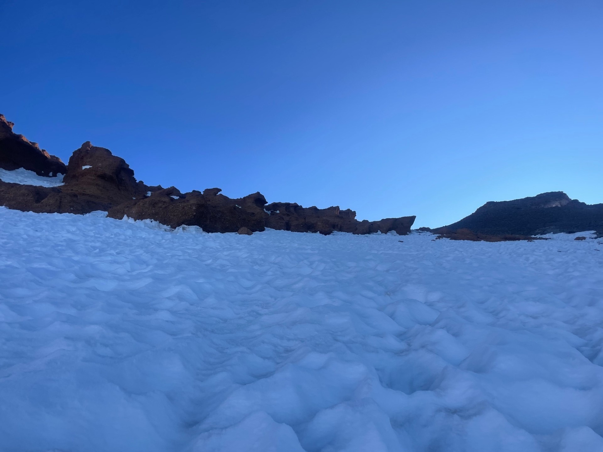
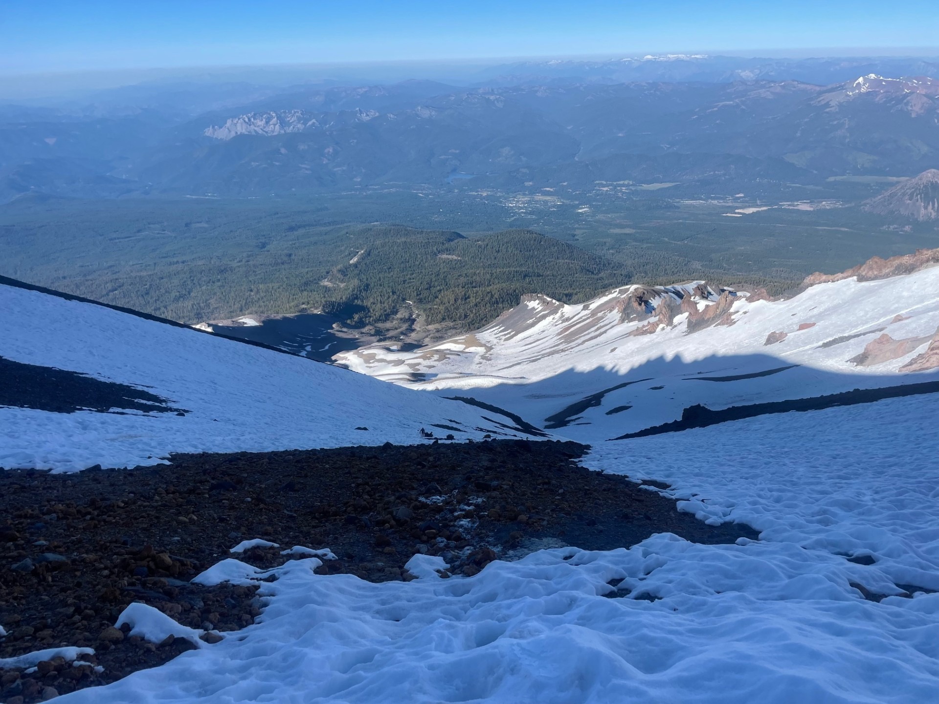
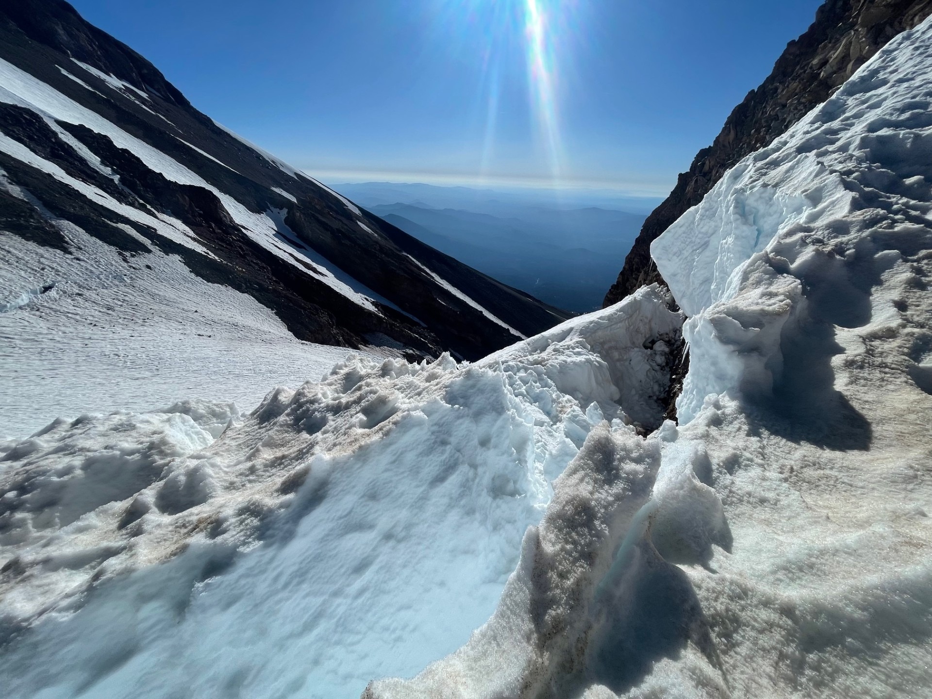
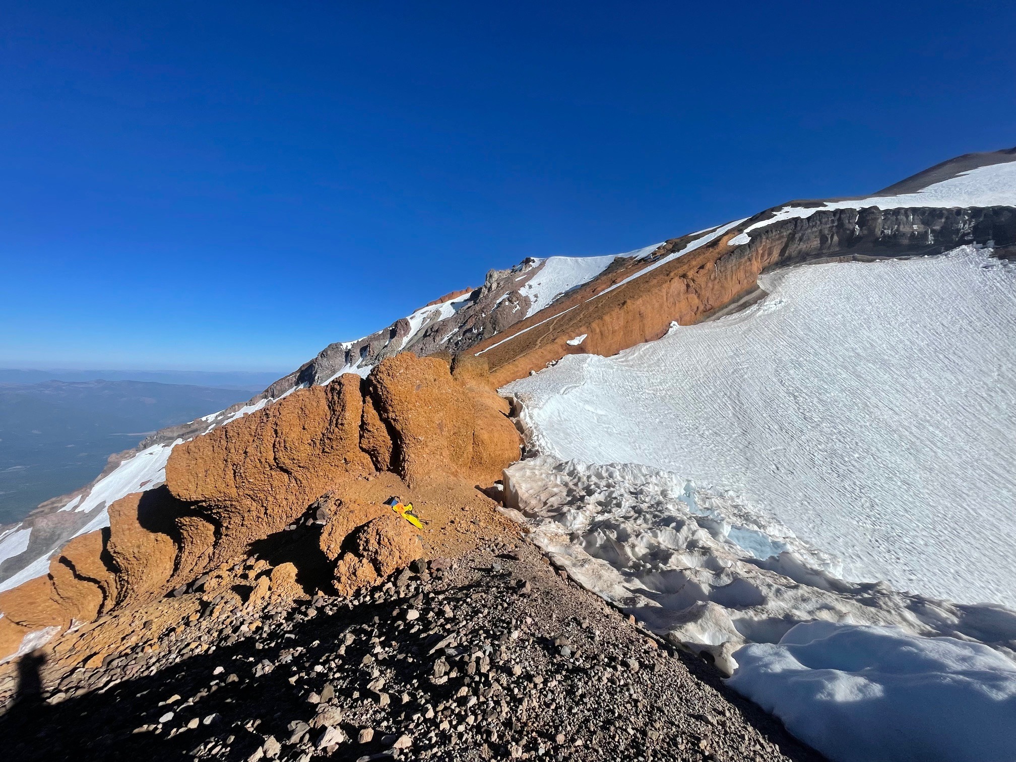
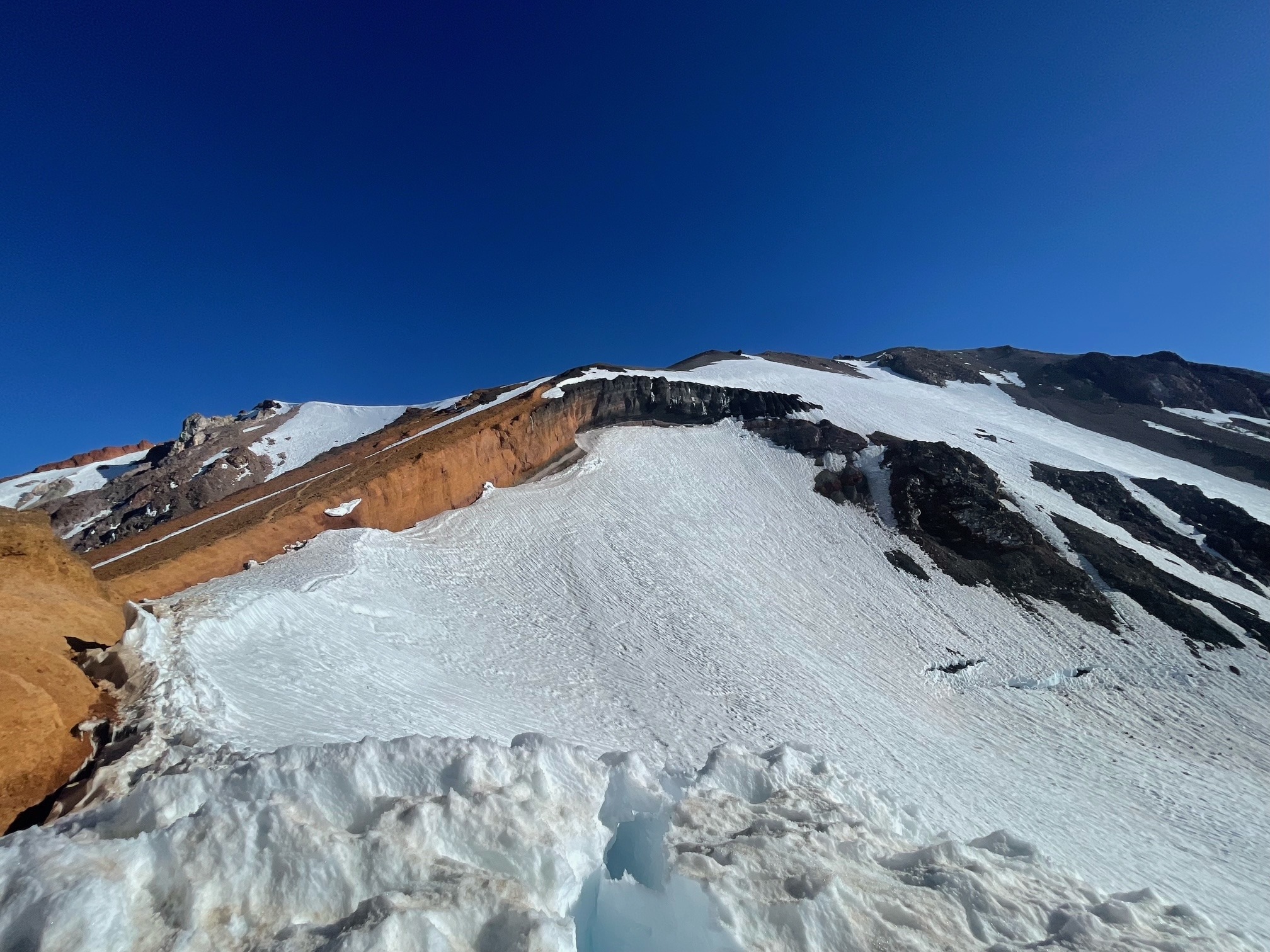
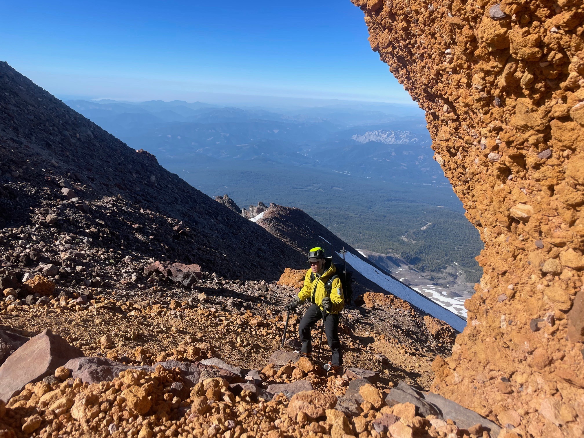
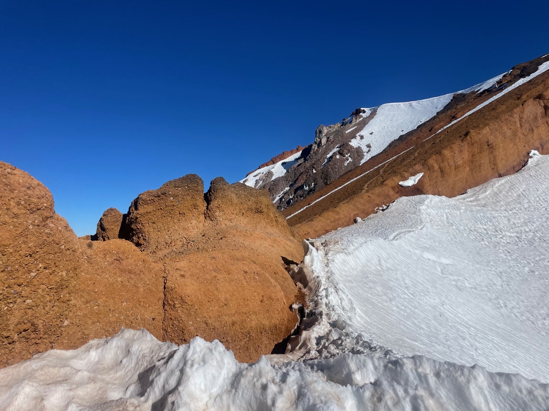
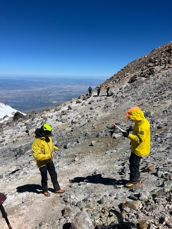
On the weekend of July 5-6, two rangers ascended Avalanche Gulch. Continuous snow travel began above treeline and ended a couple hundred feet below the Thumb. Above the Thumb, the route is primarily on dry ground except for the summit plateau. A small section of the Summit Pinnacle and the main gully on Short Hill also held snow. The backside of the Red Banks above the Konwakiton Glacier was still passable but has melted significantly (see photos). Snow bridges, weak snow strips, an opening moat adjacent to the rock and the steeper slopes above the glacier are the main obstacles to navigate here. You can avoid this section by ascending through a small "notch" in the rock nearest to the Thumb. Below the Red Banks, the main objective hazard in late season is rockfall, including human and naturally triggered. At this point, Clear Creek is a safer and the recommended choice to manage the rockfall hazard.