
Quick report
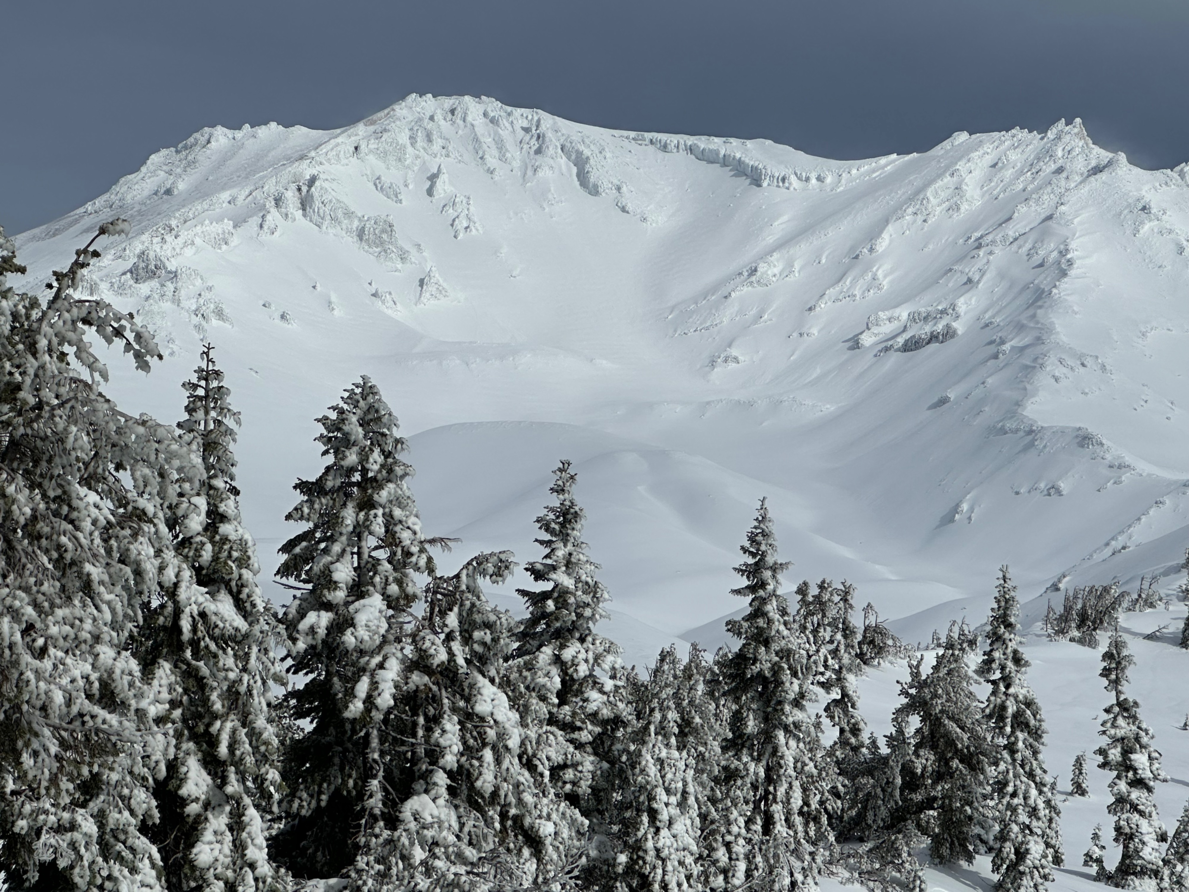
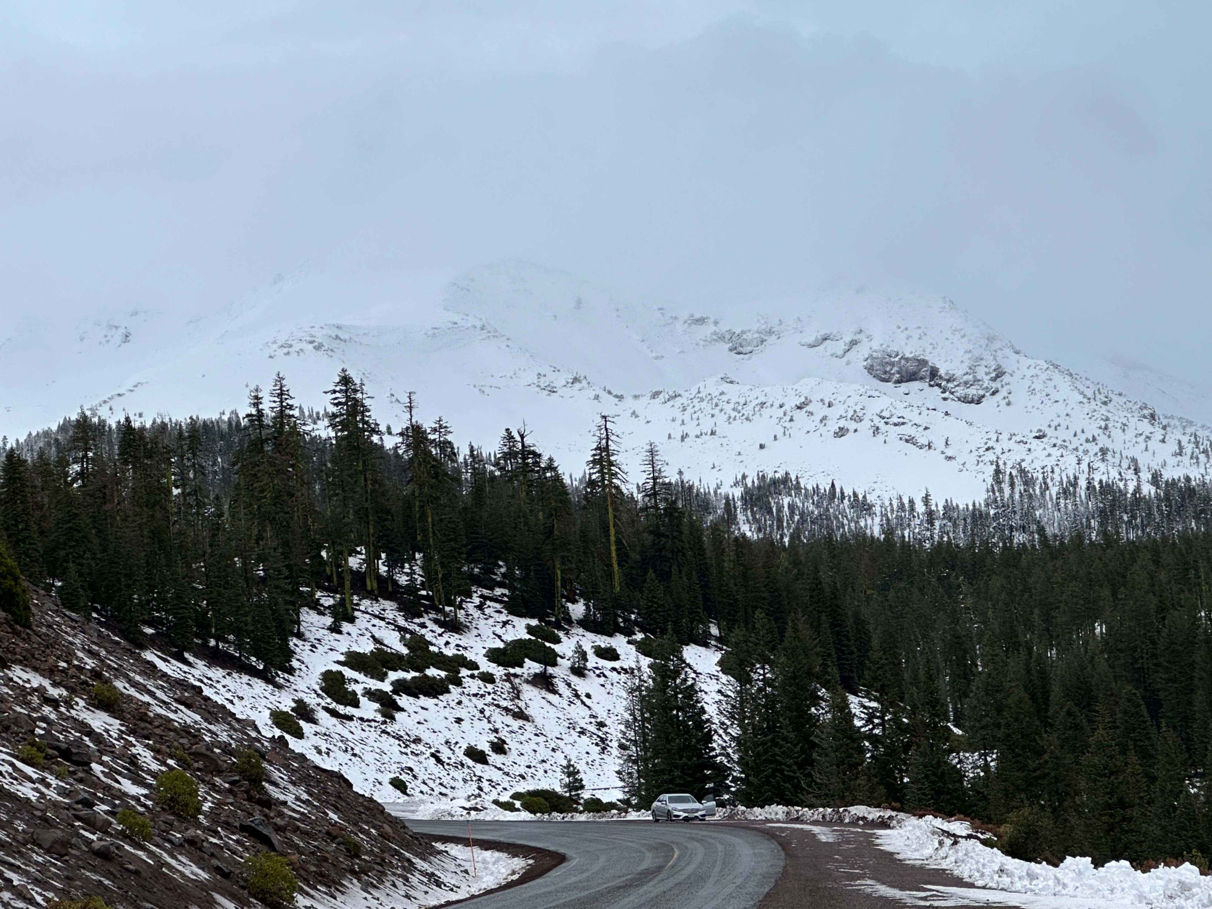
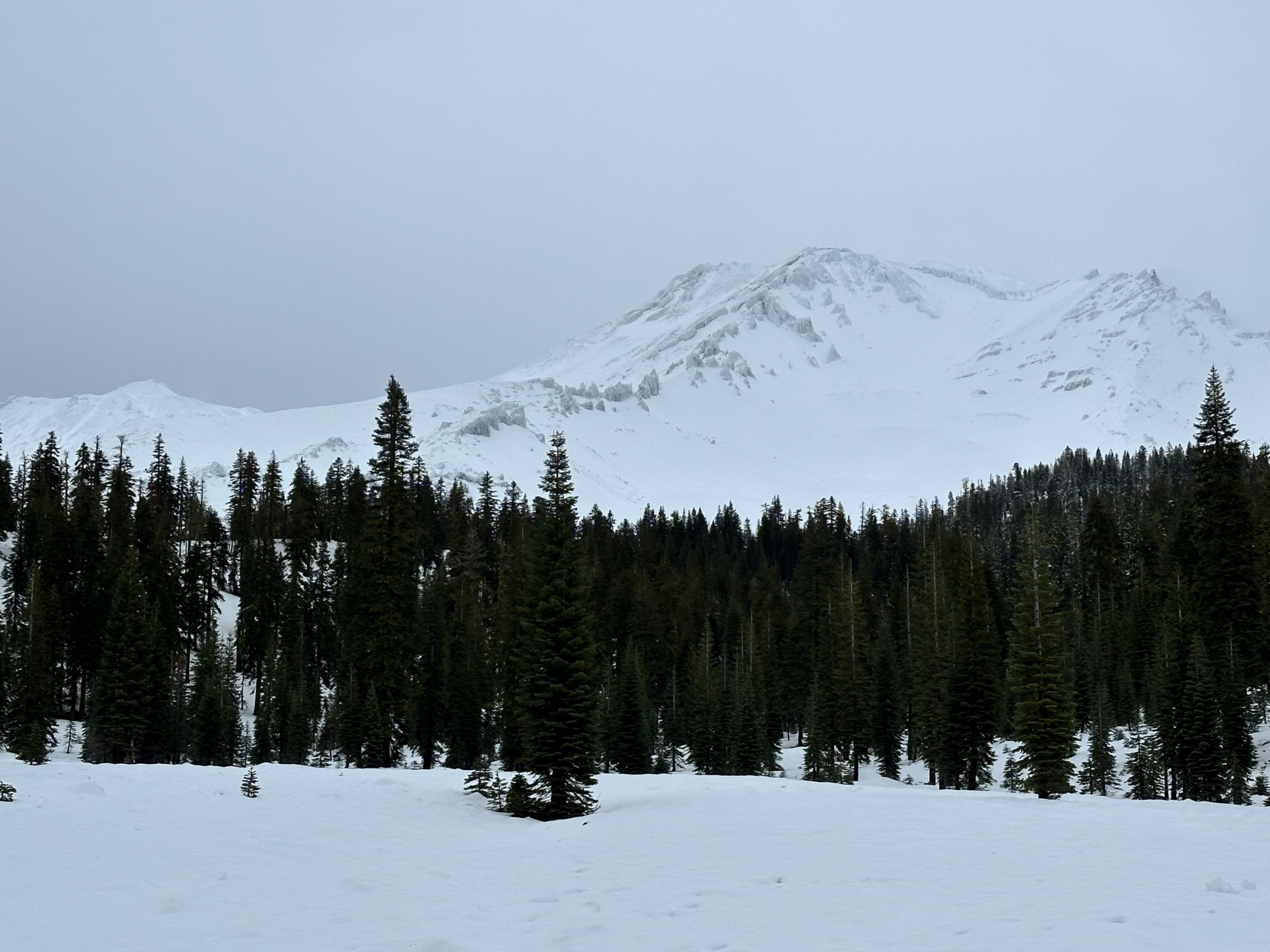
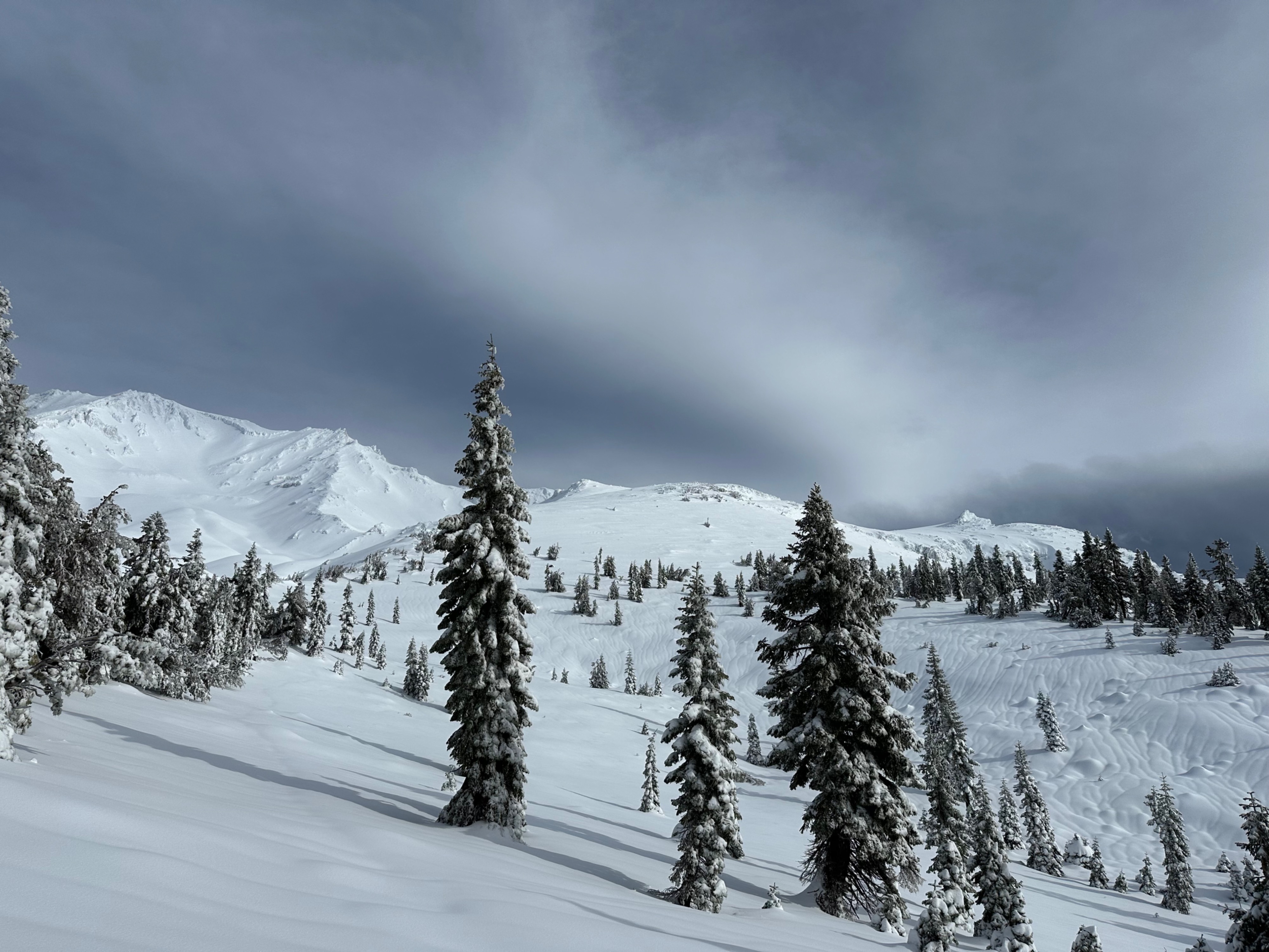
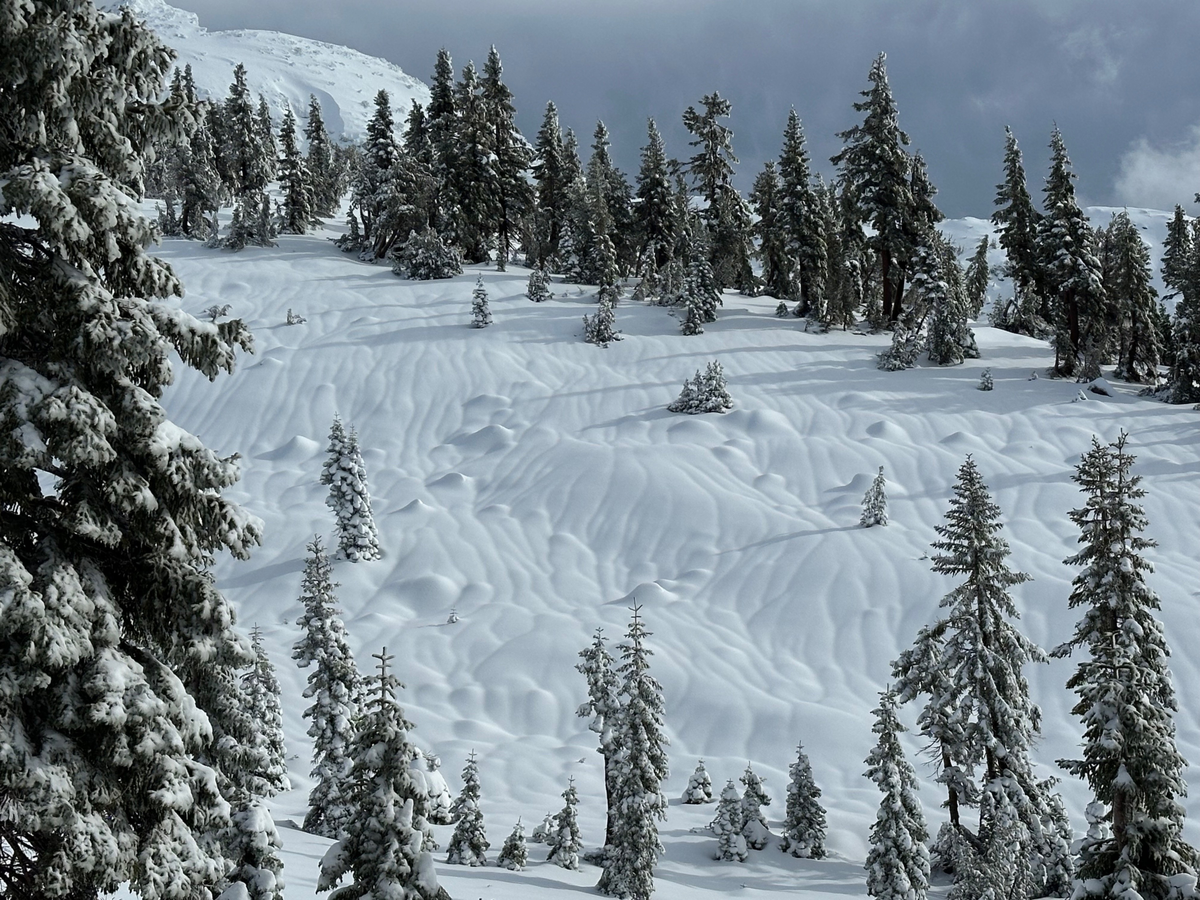
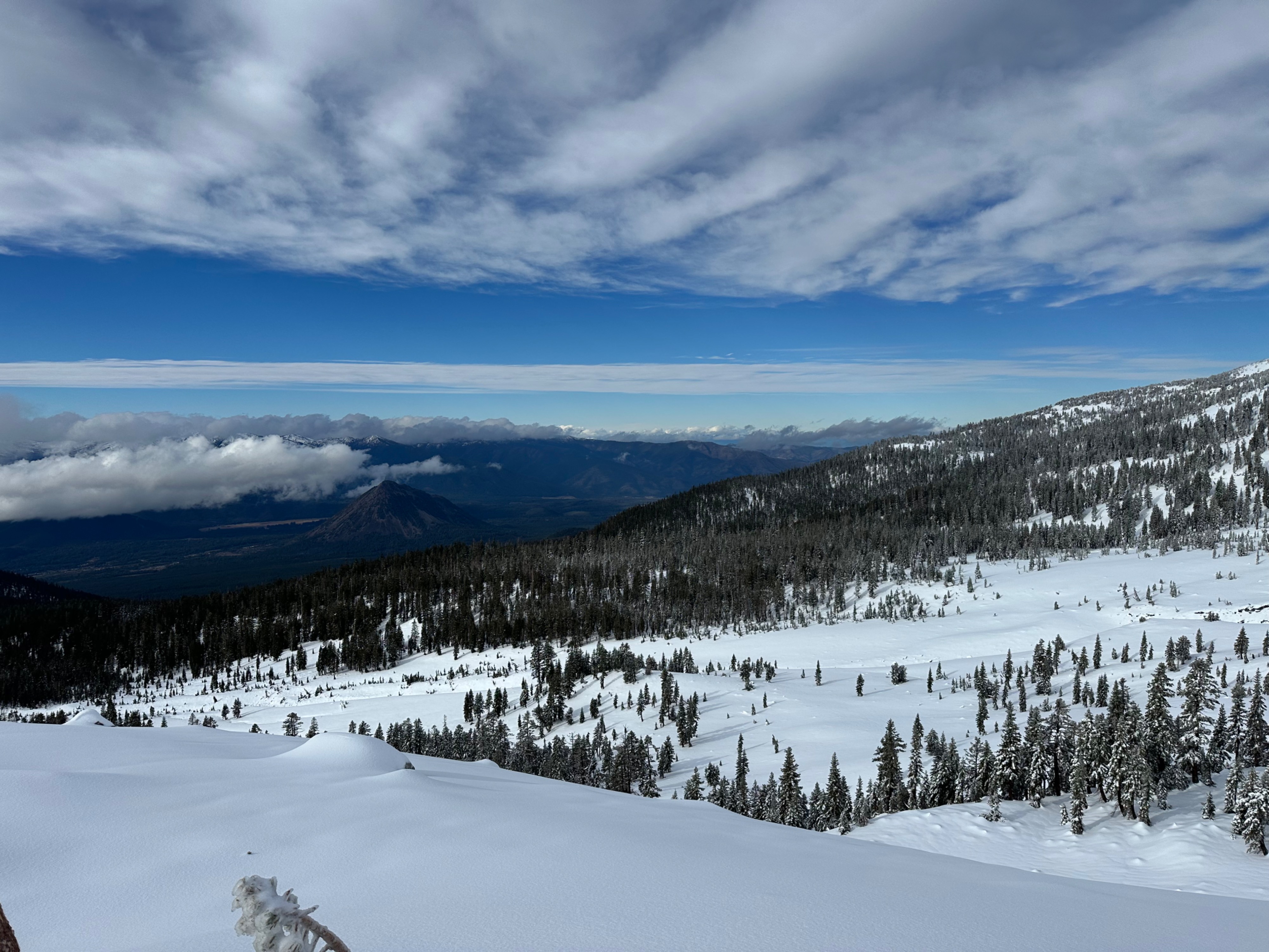
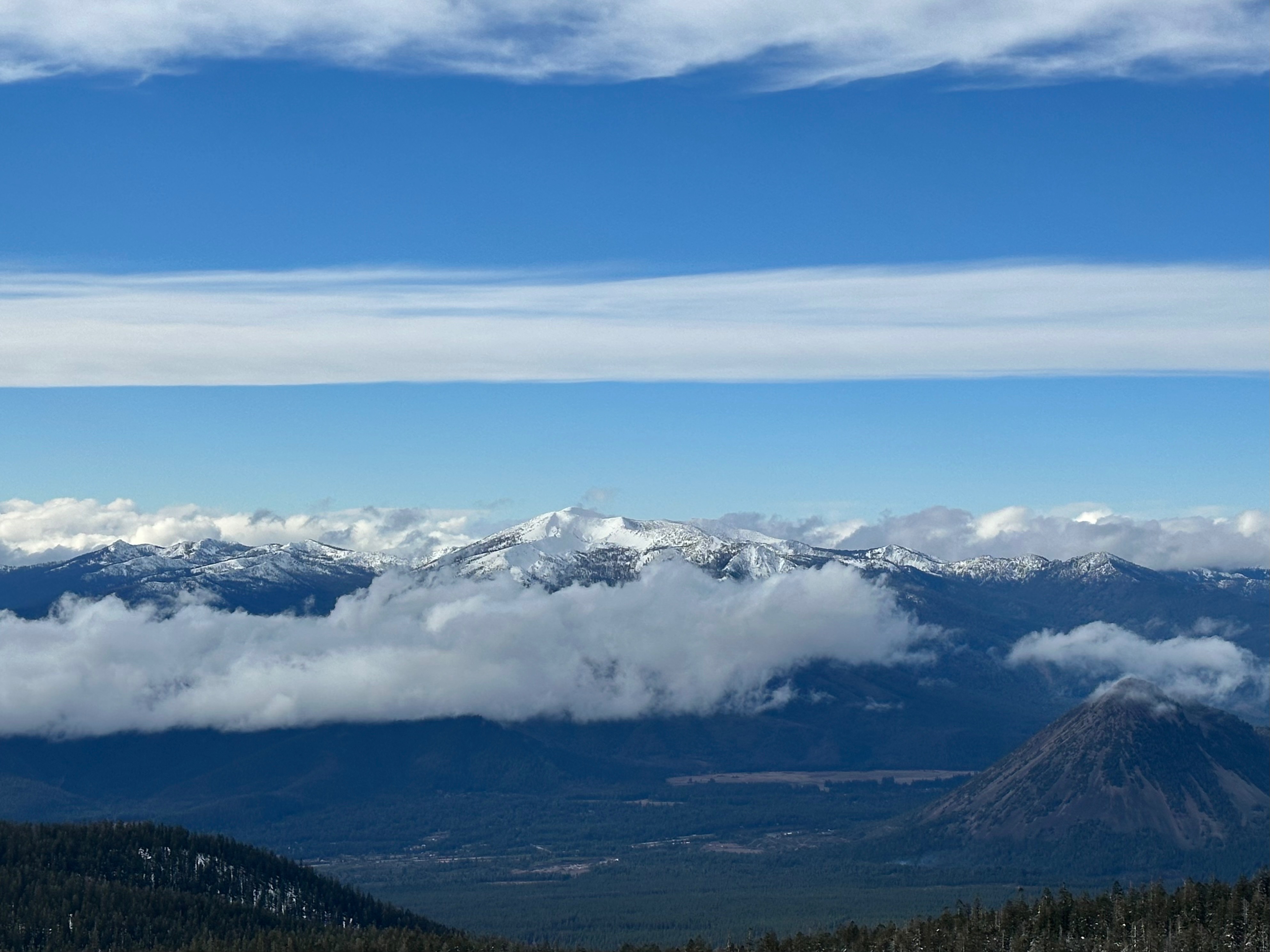
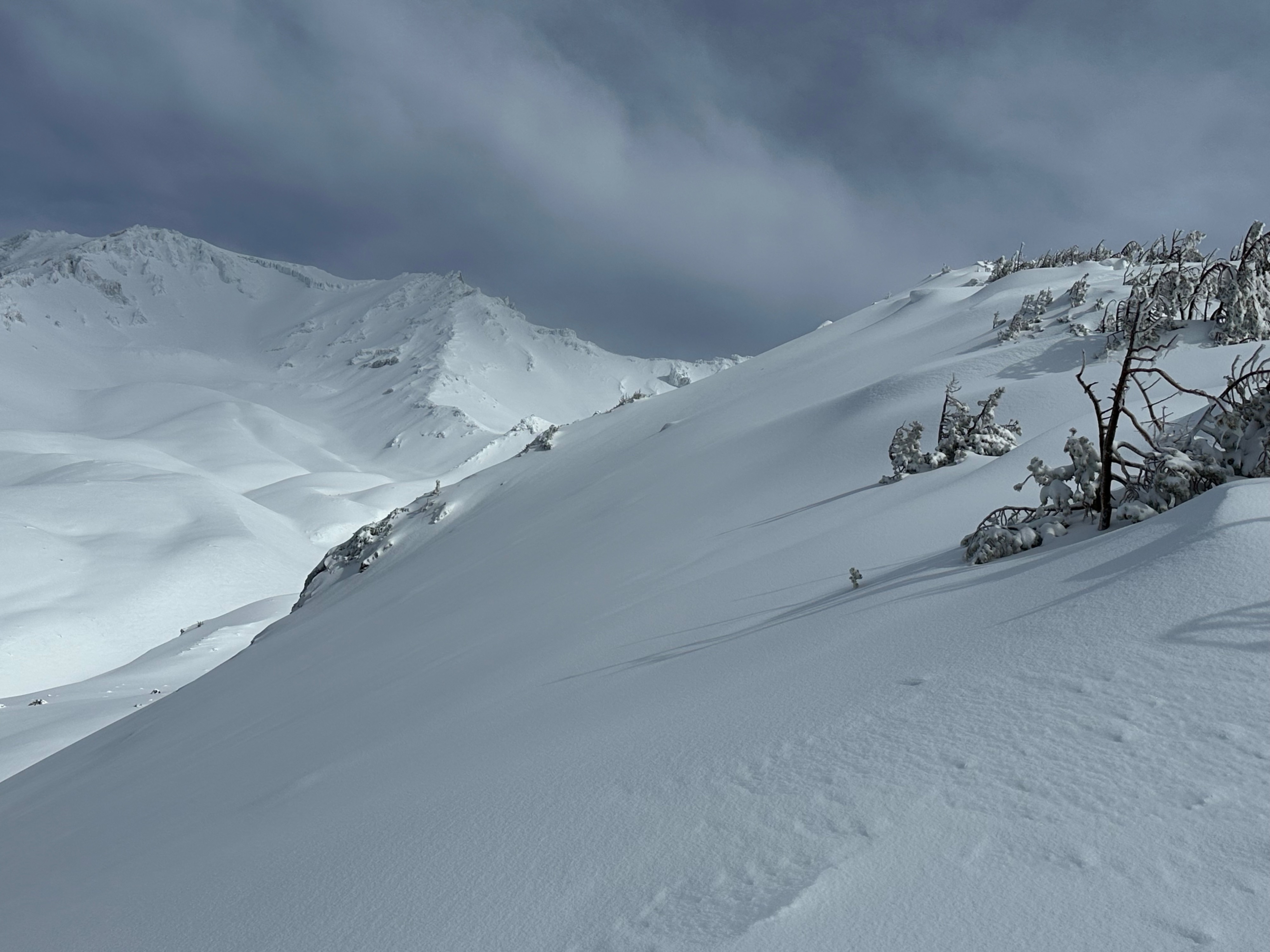
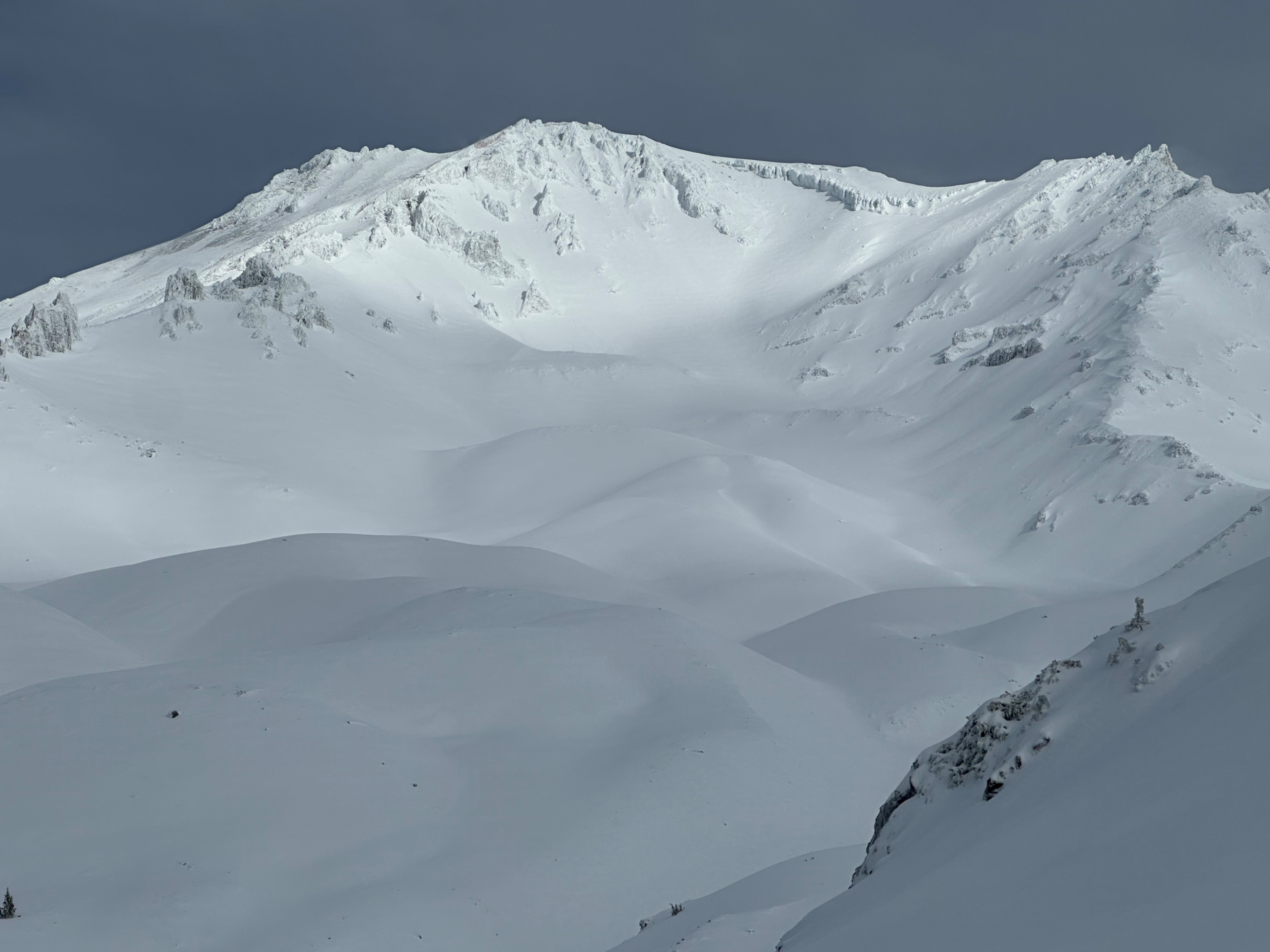
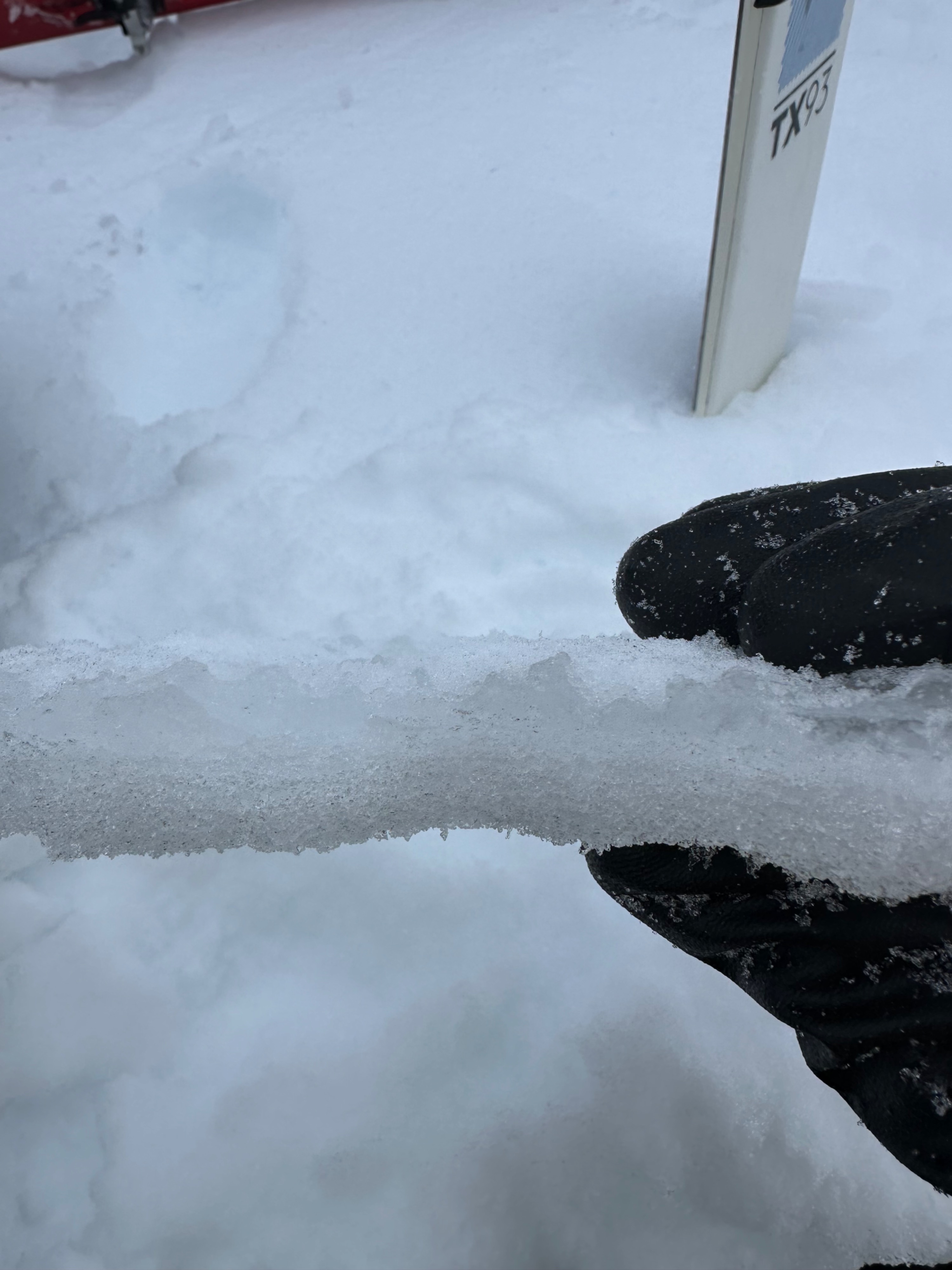
A brief Christmas Eve lull allowed for some visuals of the upper mountain ahead of the next storm (see photos). No signs of avalanches or instability were observed. 10 inches of snow cover Bunny Flat (6,900 feet). Snow depths increase significantly with elevation and on wind-loaded terrain features. Widespread surface crusts cap the snowpack. These crusts will be the interface on which the Christmas snow arrives.
Weather
- Cloud Cover
- broken
- Wind Loading
- previous
- Snow Avail For Transport
- none
An unsettled Christmas Eve on the mountain. Overcast skies yielded to partial clearing by late morning. Graupel and snow showers moved in upon our early afternoon descent. Light southerly winds throughout the tour.
Snowpack
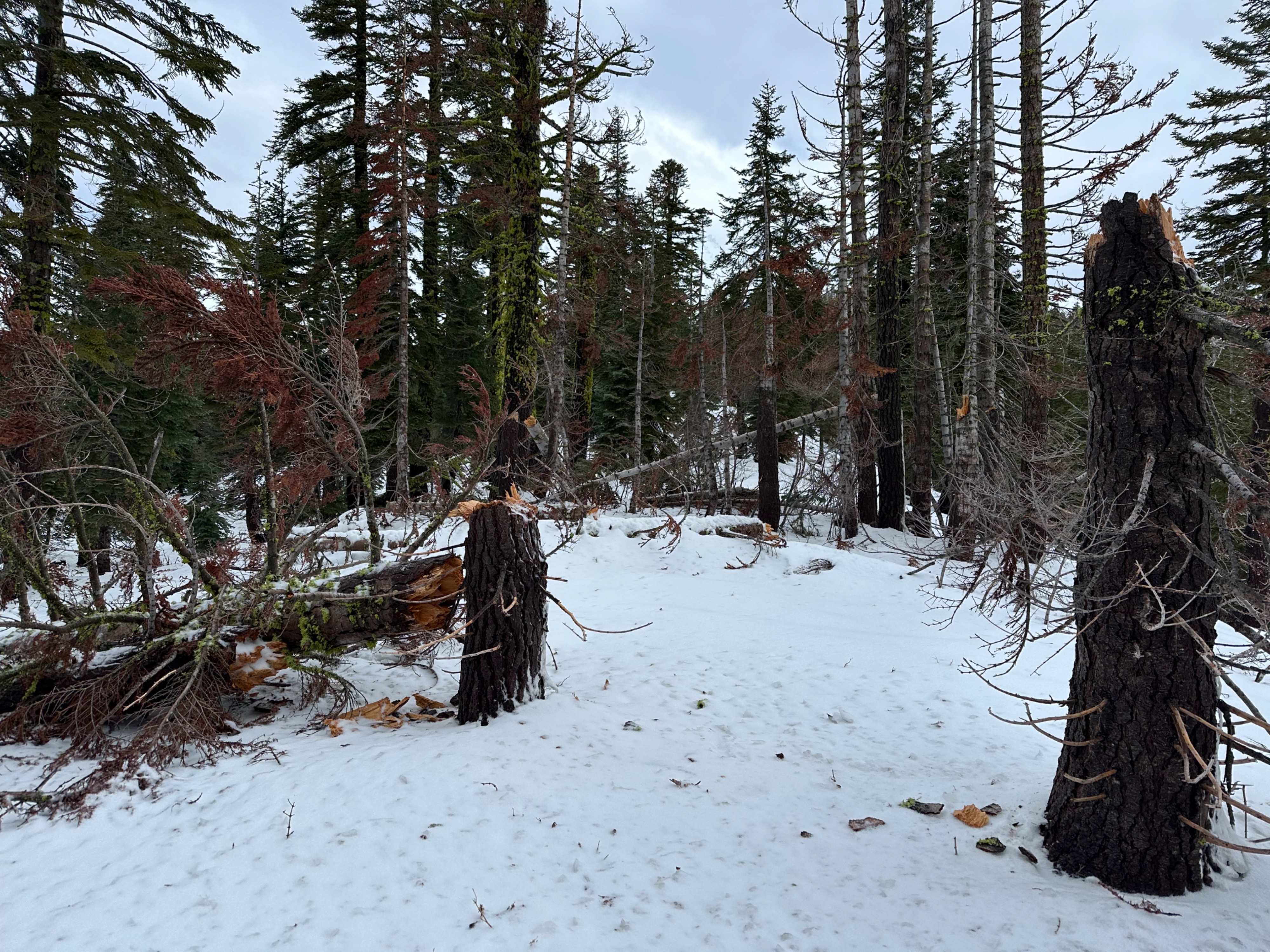
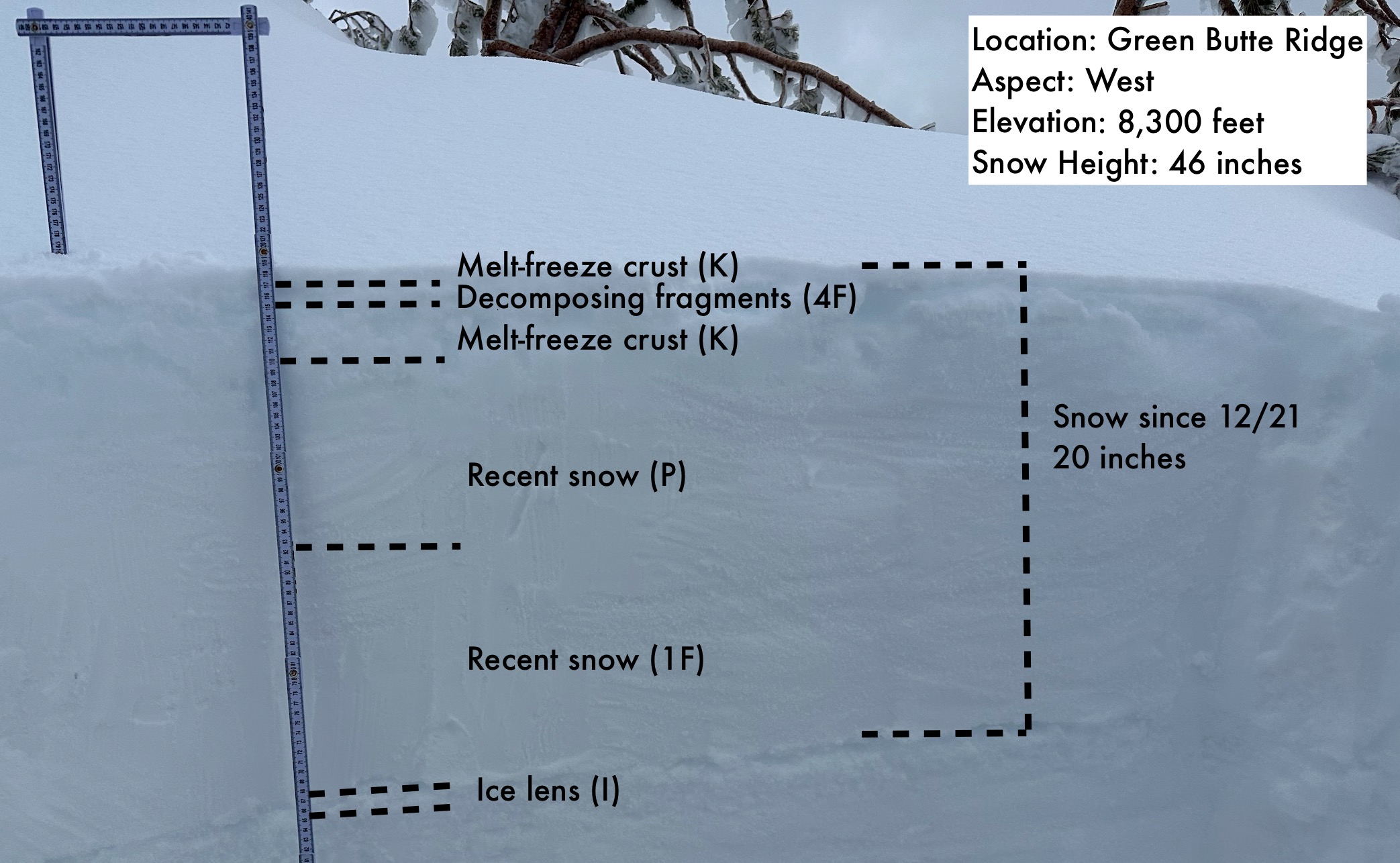
Despite all of the recent precipitation, snow levels have remained high this week. The snowpack below treeline is barely usable for recreation, and shallowly buried obstacles are abundant. Near treeline is a different ballgame, with over two feet measured at 8,000 feet on Green Butte Ridge. Wind-drifted areas hold nearly 50 inches of snow, including 20 inches since 12/21 (see annotated photo). The entire snowpack is covered by surface crusts. At higher elevations near treeline, the crust was supportable to skis. Below treeline, the crust became progressively more breakable - less supportable - and the skiing increasingly challenging. These snowpack and surface conditions may change dramatically with the arrival of the next storm this evening.