
Quick report
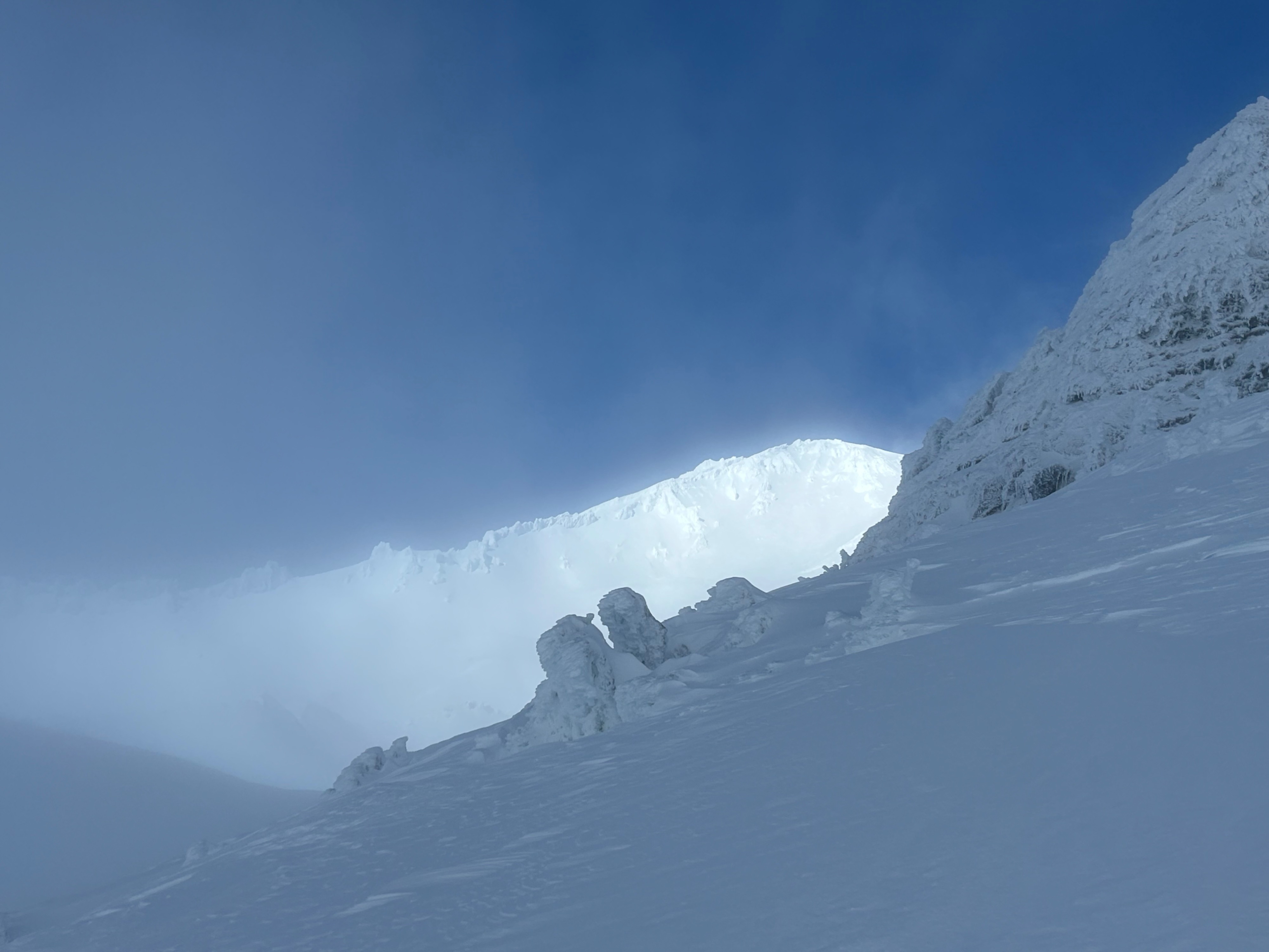
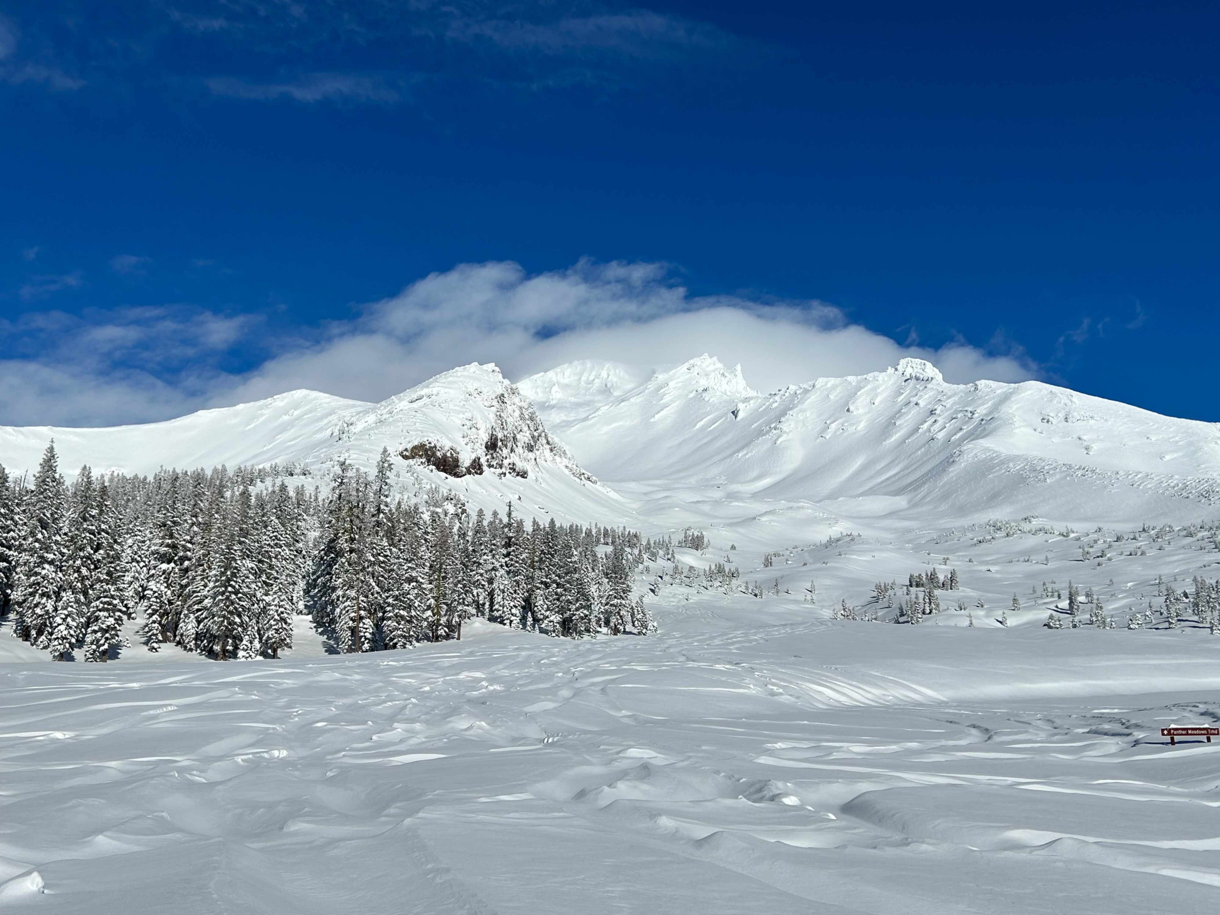
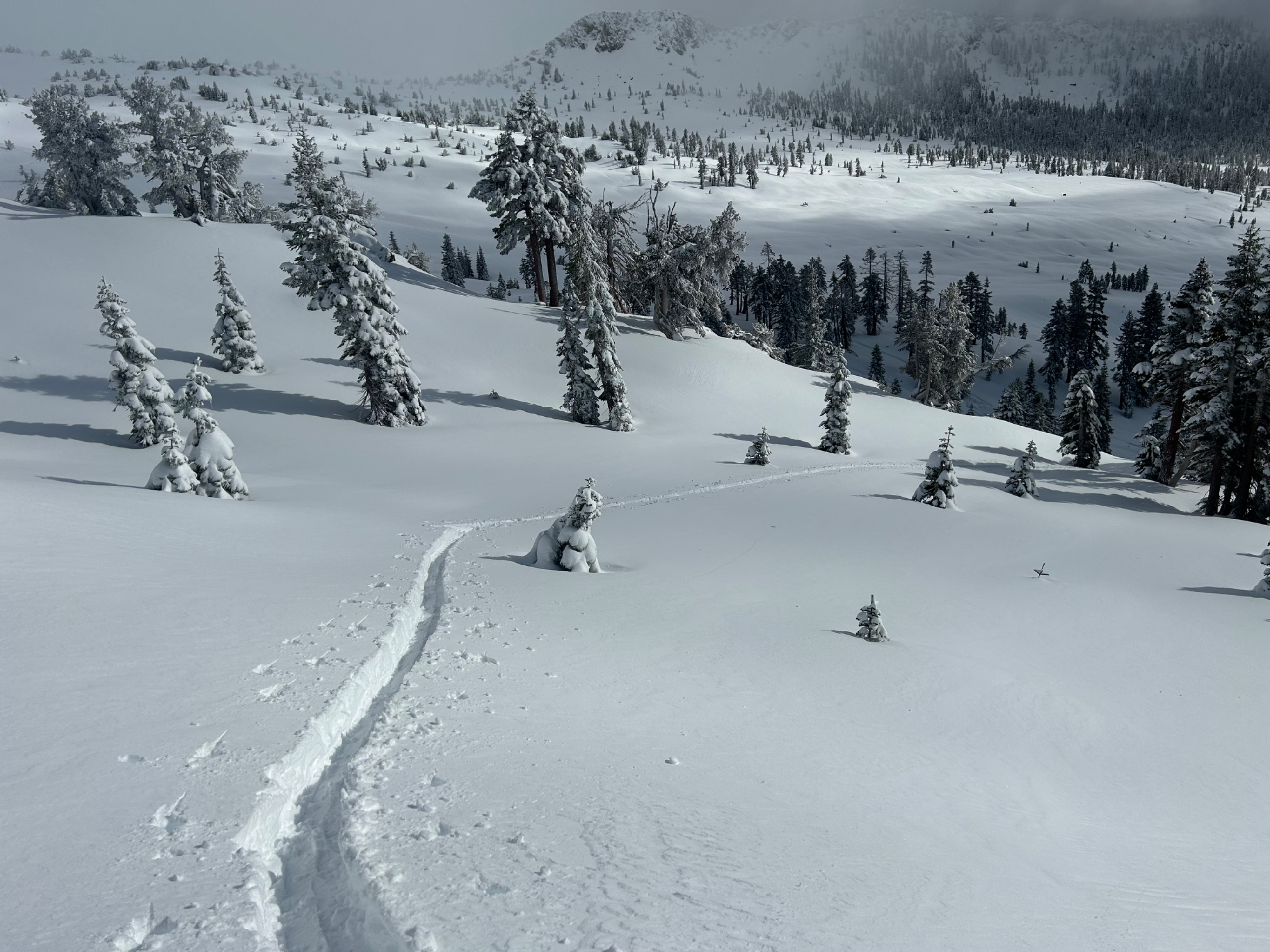
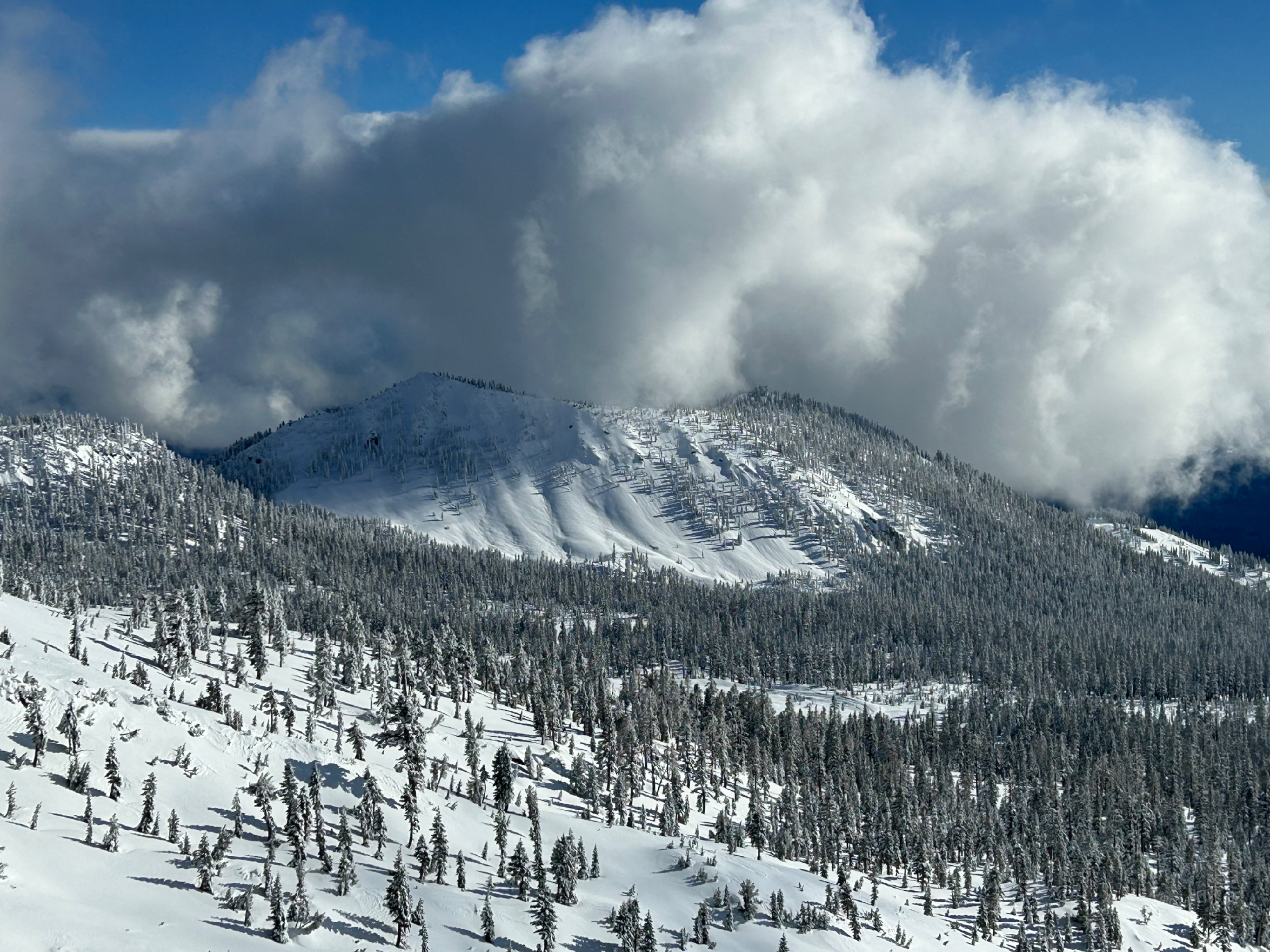
After a week of relentless weather, Mount Shasta finally reviled itself. A plastering of snow and ice covers the peak, and a patchwork of snow texture exists across its upper slopes. The snow line sits roughly around 4,000 feet. No avalanches were observed on the upper or mid-mountain in the Old Ski Bowl, or Avalanche Gulch.
Weather
- Air Temp
- 26
- Cloud Cover
- scattered
- Wind Loading
- light
- Recent Snowfall
- 0
- Snow Avail For Transport
- large amounts
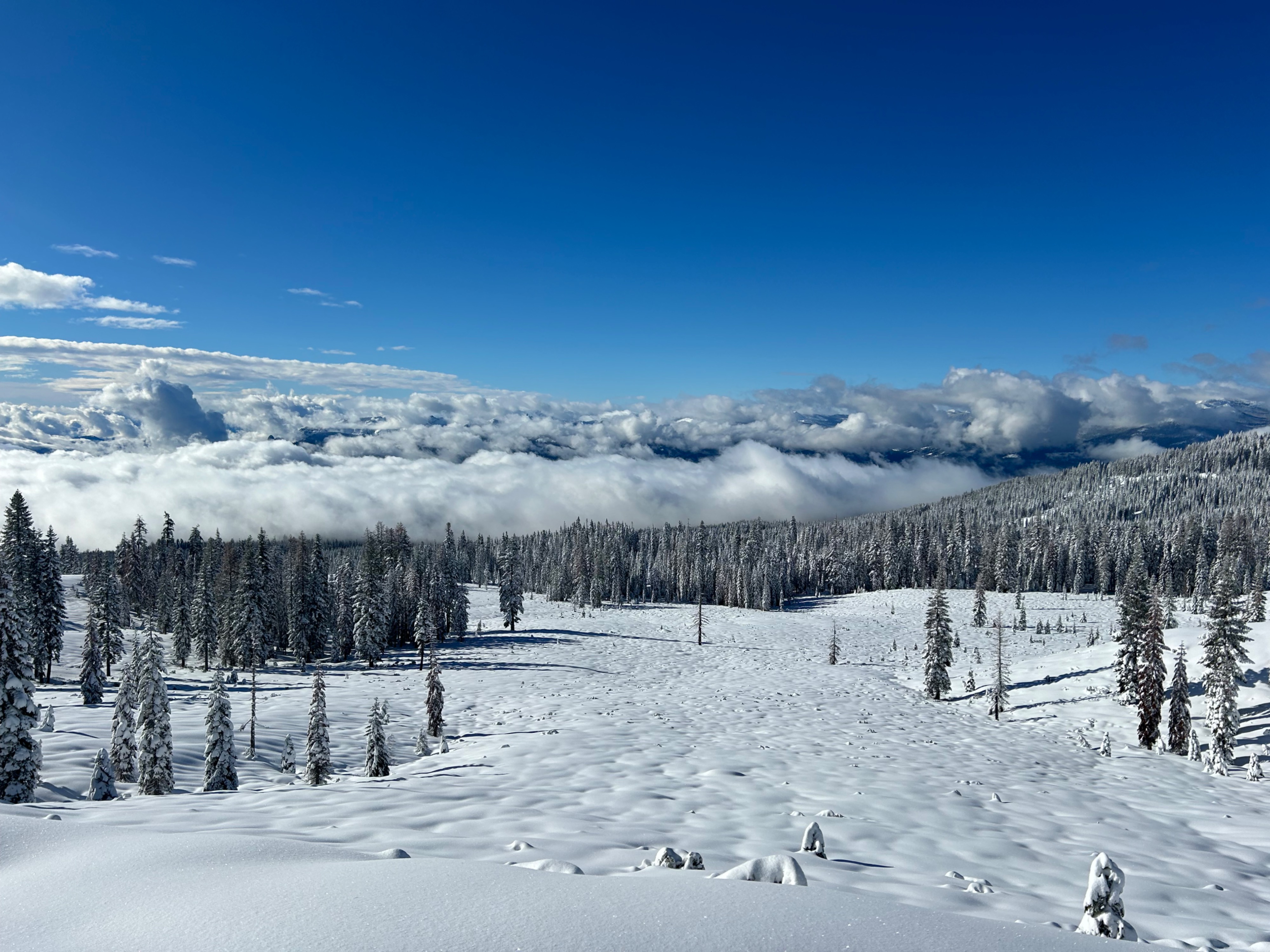
Clouds in the morning slowly dissipated to semi-clear skies, with calm winds, and below freezing temperatures. The sun hung low in the sky for several hours.
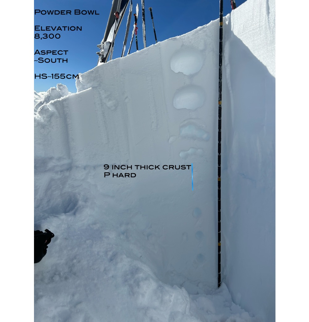
Snowpack
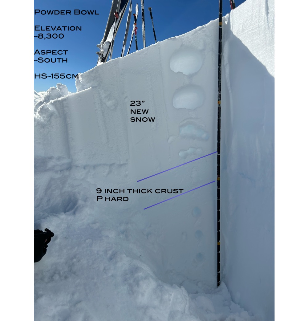
Over the last 24 hours, Mount Shasta received 23 inches (55 cm) of new low density snow. That new snow fell on a widespread rain crust that has been observed at all elevations and aspects. A notable finding was the rain crust being pencil hard near treeline, opposed to below treeline where it's 1F-4F hard. This is likely due to the colder temperatures at the higher elevations. No surface instabilities were observed within the new snow. In protected areas (near and below treeline) slab characteristics were not observed. In areas more exposed to the wind, a couple centimeter thick wind skin was observed, with softer snow consisting beneath. I was unable to initiate shooting cracks near ridgelines or convex roll-overs. The new snow appears to be bonding well to the underlying crust on all west, south, and east aspects, near and below treeline. Above treeline, uncertainty remains regarding slab characteristics and the bonding to underlying bed surfaces.