
Quick report
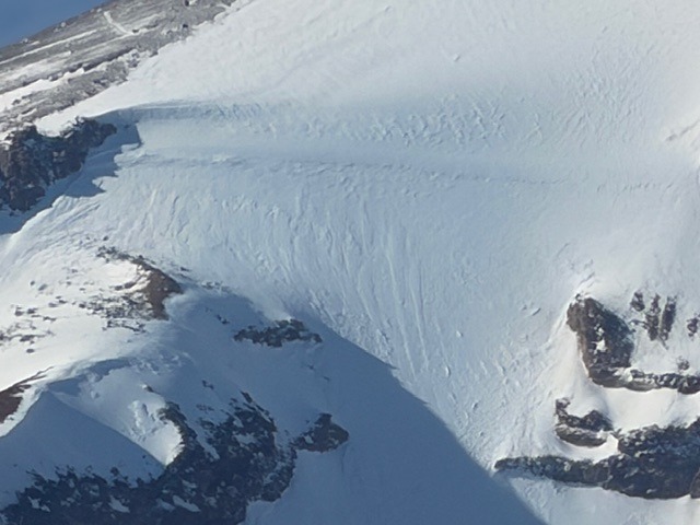
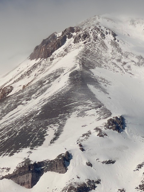
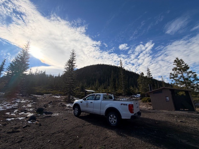
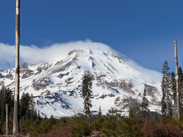
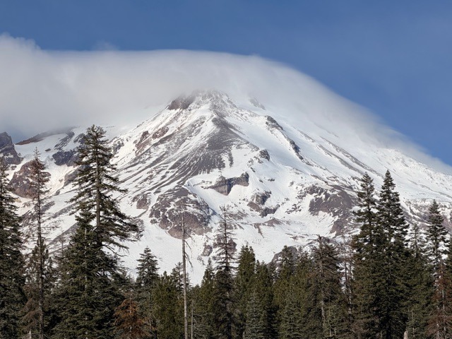
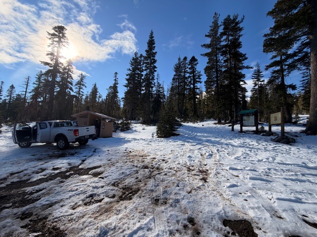
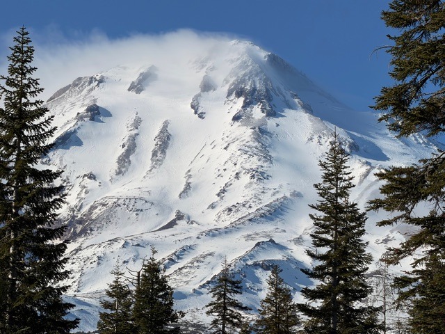
Around the mountain viewing of avalanche terrain, climbing routes and trailhead access and maintenance. One can drive to all trailheads right now. Tree blow down is widespread below treeline. Consider carrying a chainsaw ensuring your entry (and exit) to/from wilderness trailheads. Clear Creek road requires 4x4 for last mile. Despite above normal precipitation amounts for the wet season, the snowpack is still thin on Shasta. North and west sides hold less snow than south and east sides. Strong northwesterly wind on upper mountain today and tomorrow. Ice axe, crampons, helmet mandatory for all routes.
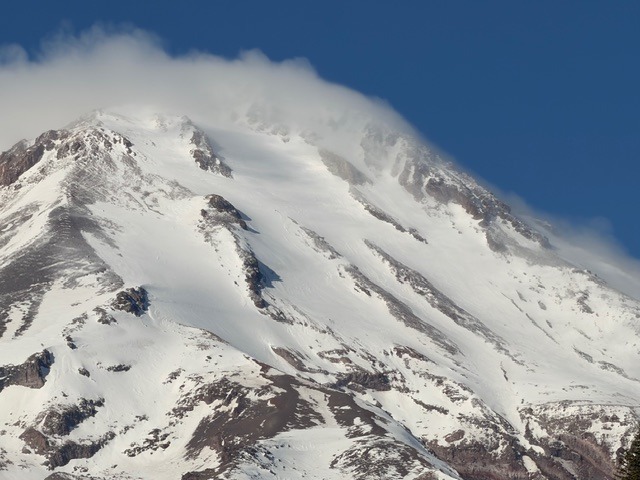
No instability, rock, ice or avalanches, was observed from afarWeather
- Air Temp
- 36 at treeline
- Cloud Cover
- scattered
- Wind Loading
- light
- Rain Elevation
- n/a
- Recent Snowfall
- 0
- Snow Avail For Transport
- small smounts
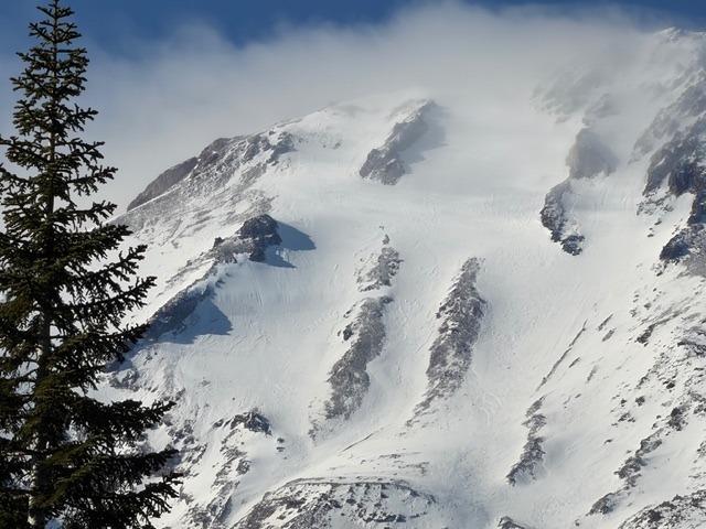
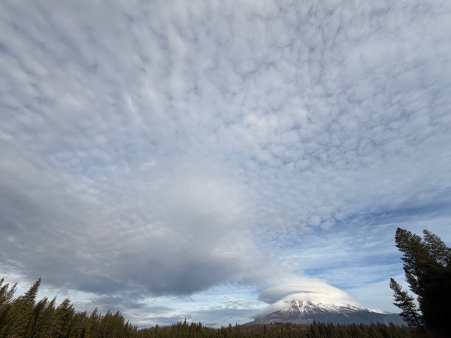
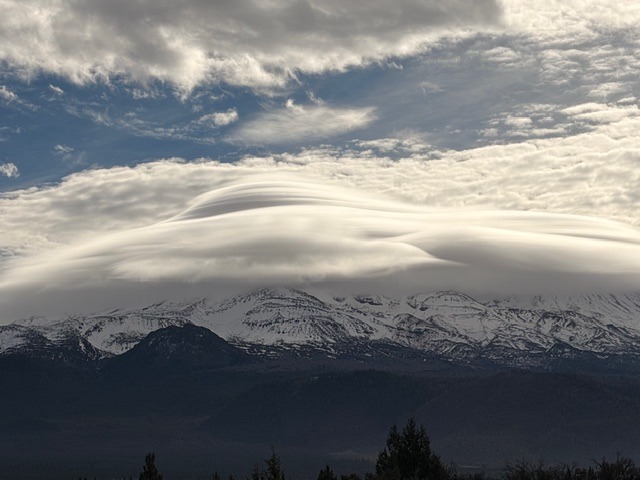
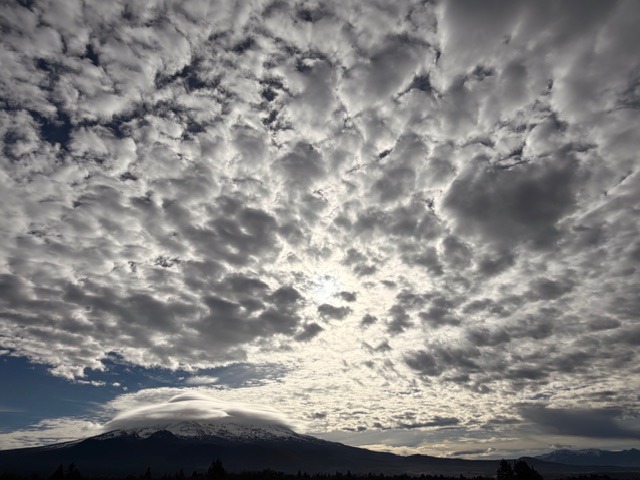
A chilly day with scattered clouds. Windy on Mount Shasta above treeline, visibly evident from the massive lenticular cloud cap all day. The wind was audible above at trailheads. High pressure dominates; fireplace smoke and air particulates linger in the valleys
Snowpack
We have a snowpack, but it's not much. The south and east sides of the mountain are holding the best coverage, with Brewer Creek trailhead leading the charge in snow depths. If one wantedt to ski, Brewer is the go-to. Ice axe, crampons, helmet mandatory for all routes. Overall, the snowpack is minimal below treeline, with coverage increasing near and above treeline. Large sections of perennial snowfields on the east side Hotum-Wintun look scabby and firm. I have no doubt a slip and fall could be costly. On warmer days, one could probably find some decent turns...maybe? The north side was tough to view due to cloud obstruction. No snow at the Northgate trailhead. The Clear Creek route is a mix of snow and rock. Little to no snow exists at the trailhead. The CC road is high clearance 4x4 only in a couple sections in the last mile.