
Quick report
Today's observation comes from the Brewer Creek area with the objective to scout access and assess general conditions.
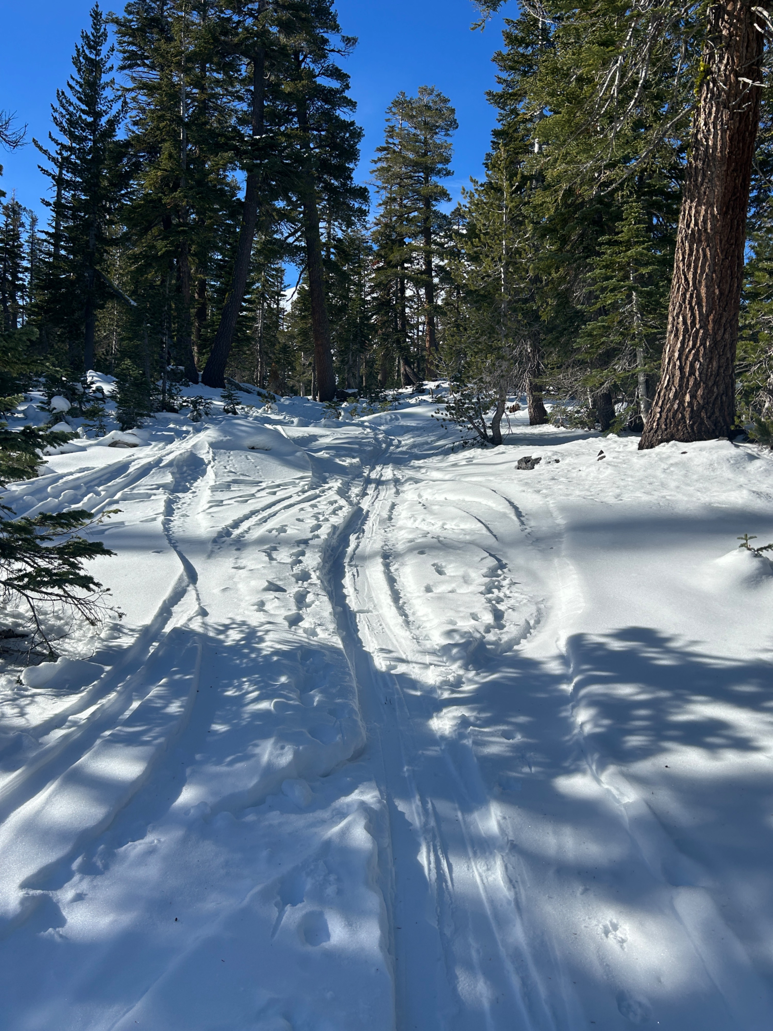
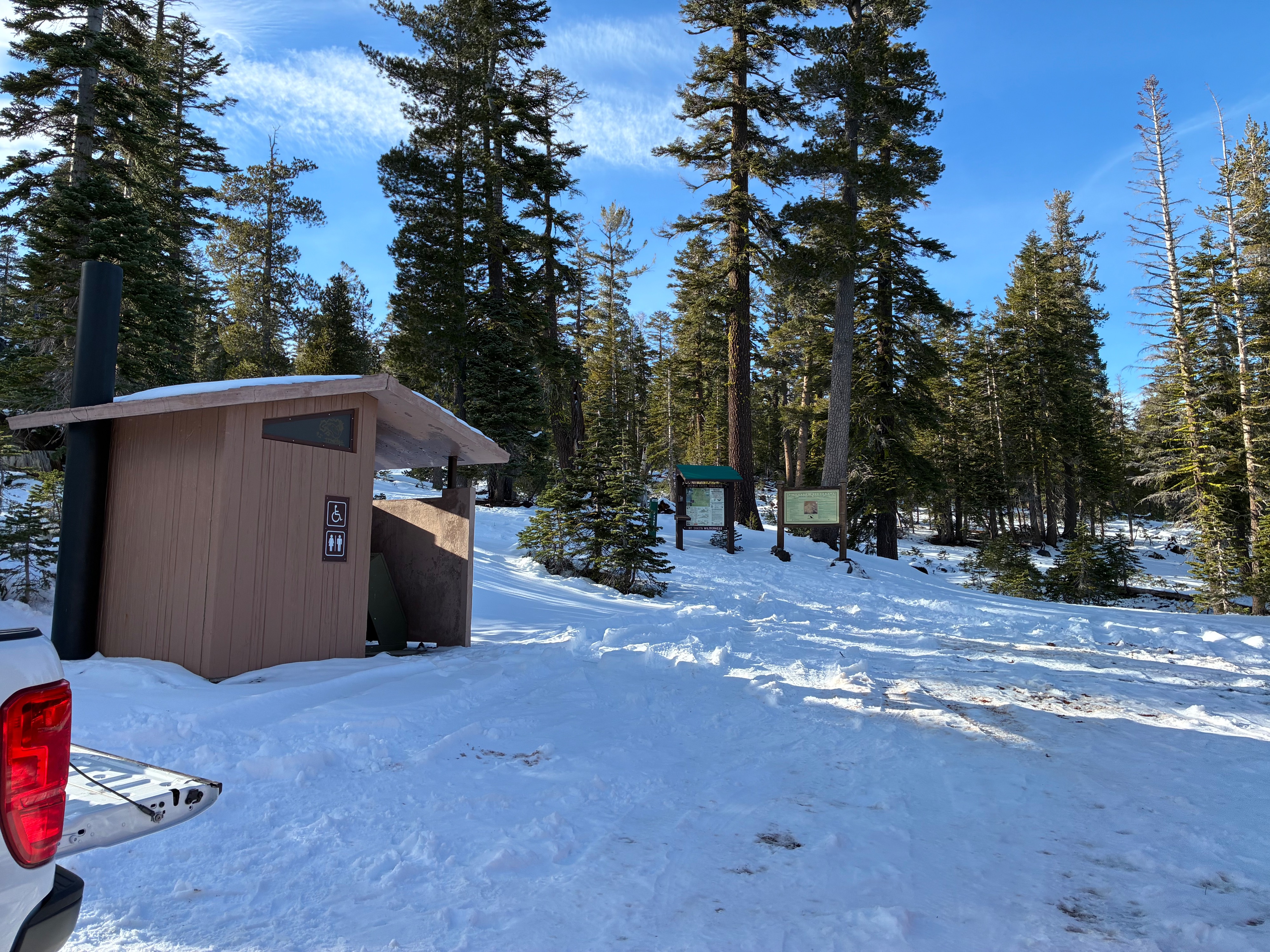
One can still drive to the Brewer Creek Trailhead, but a 4×4 vehicle is necessary. Drive slowly and carefully, as road conditions are rough and subject to change.
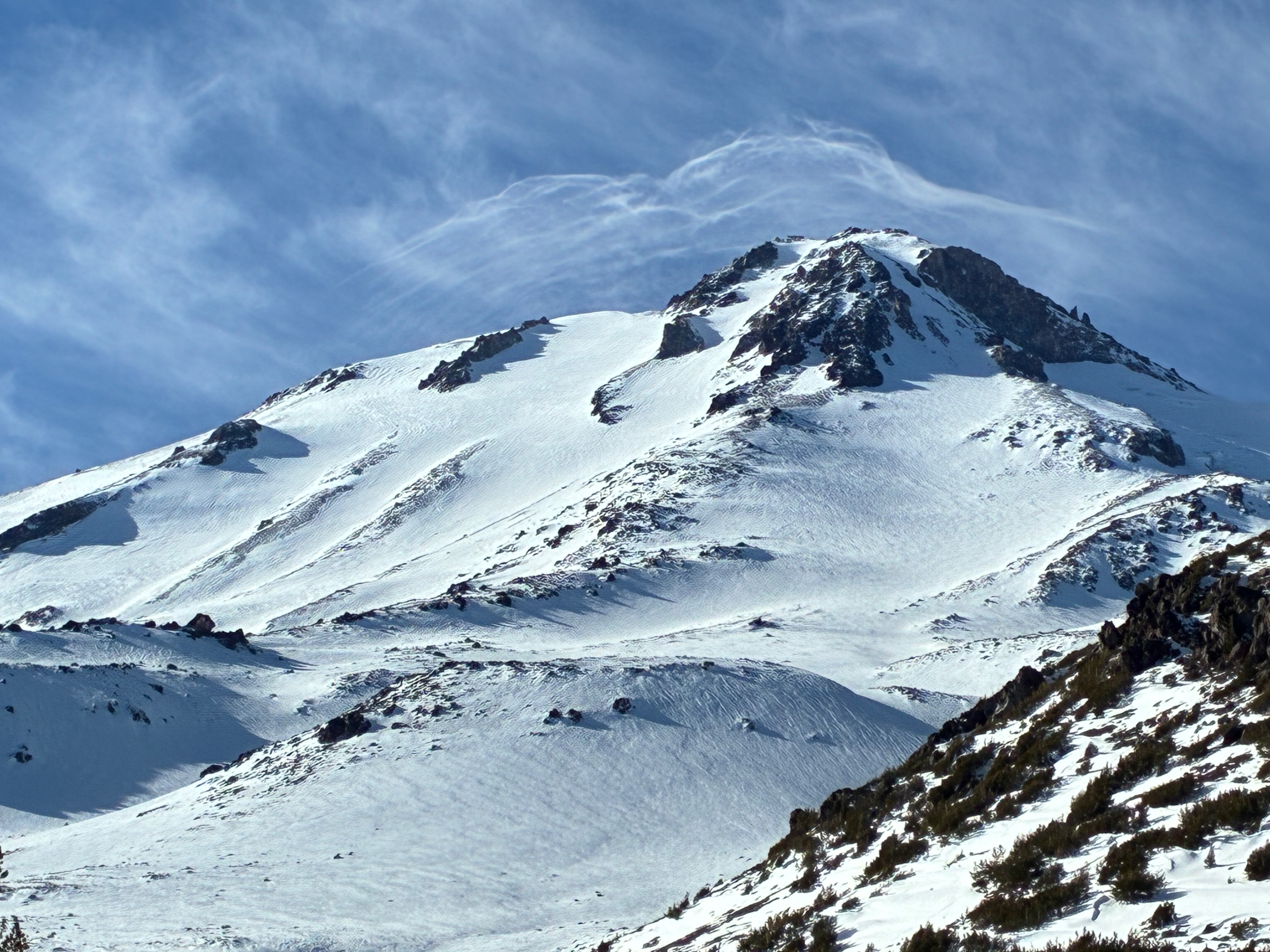
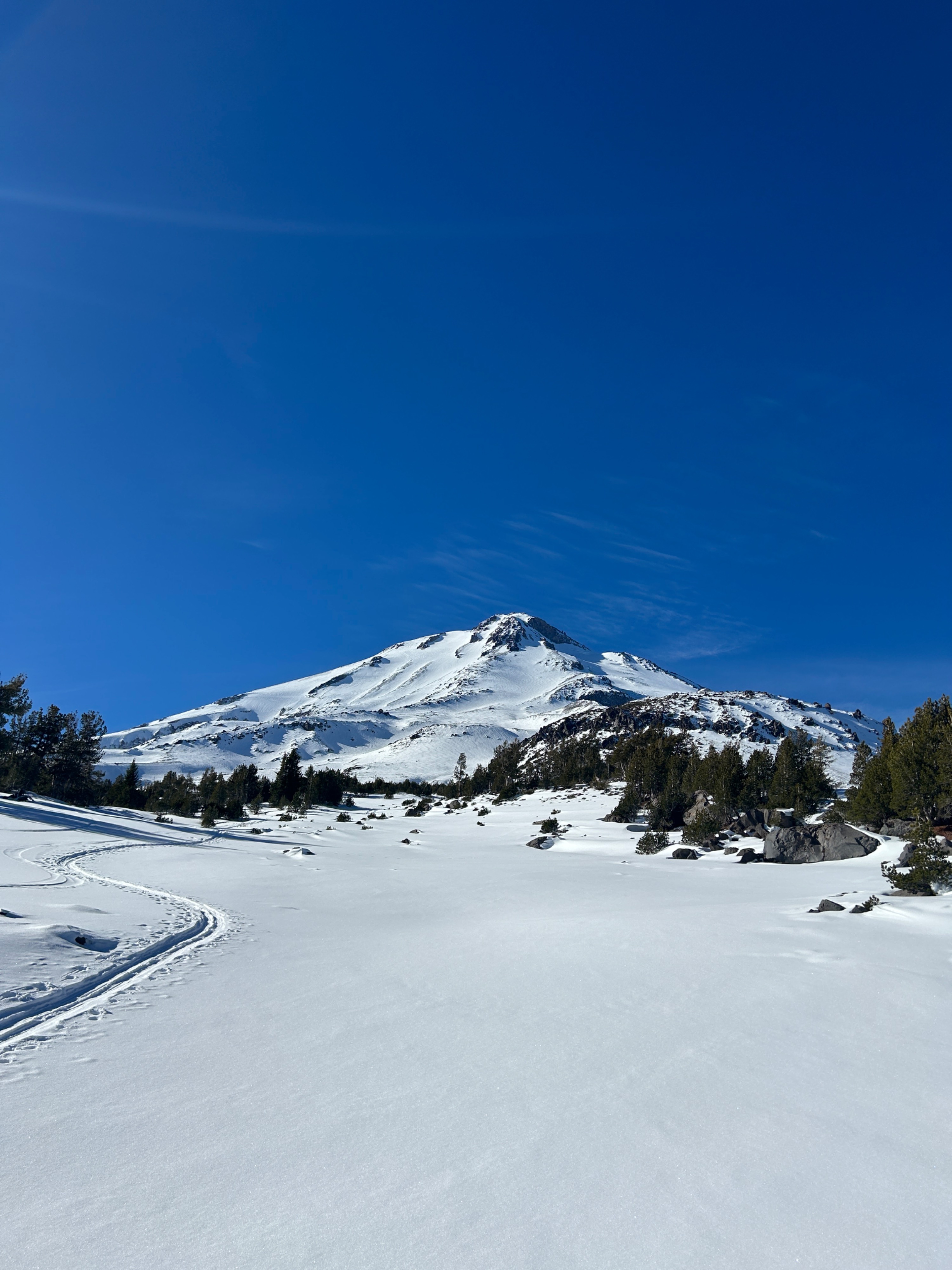
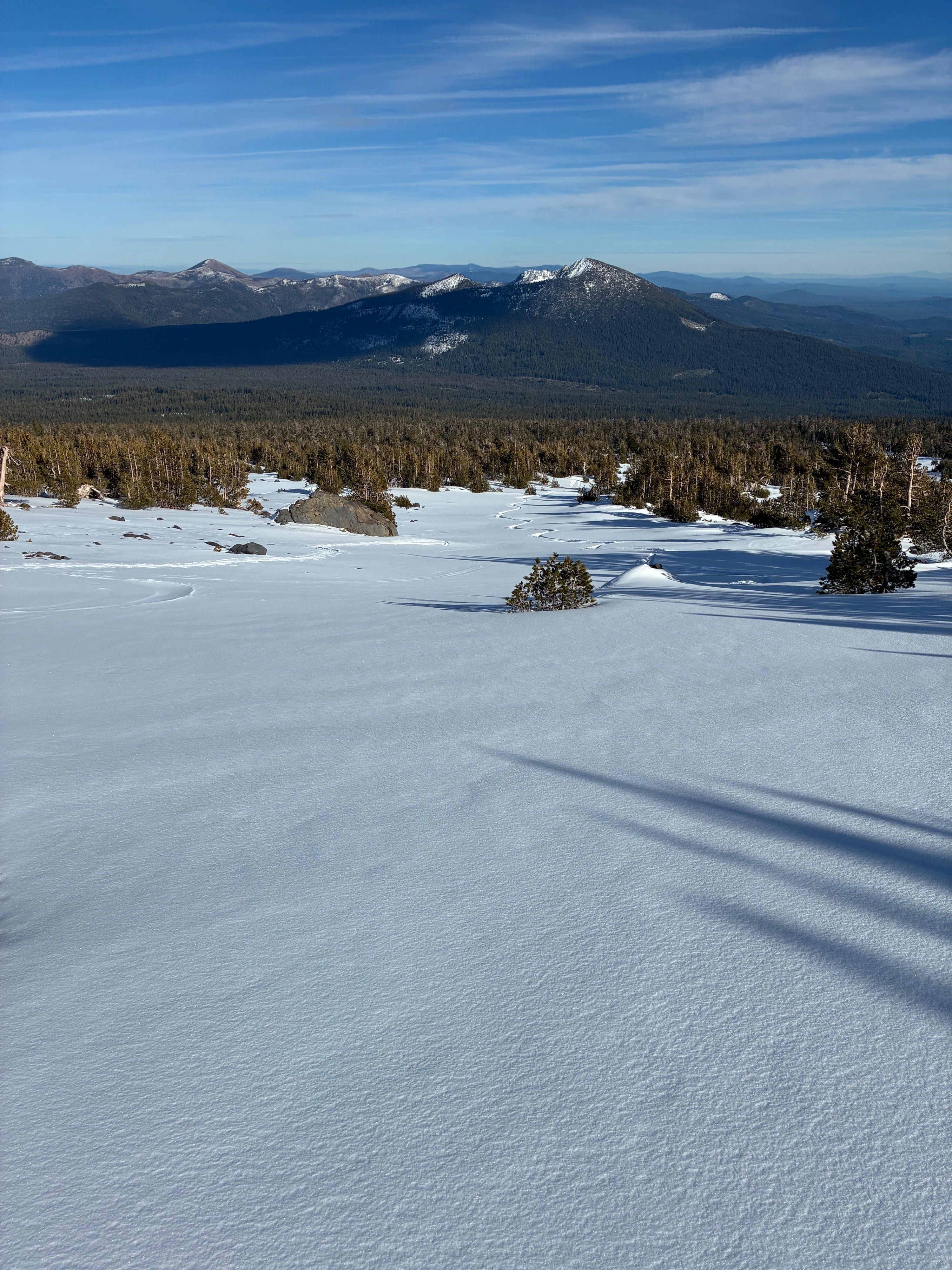
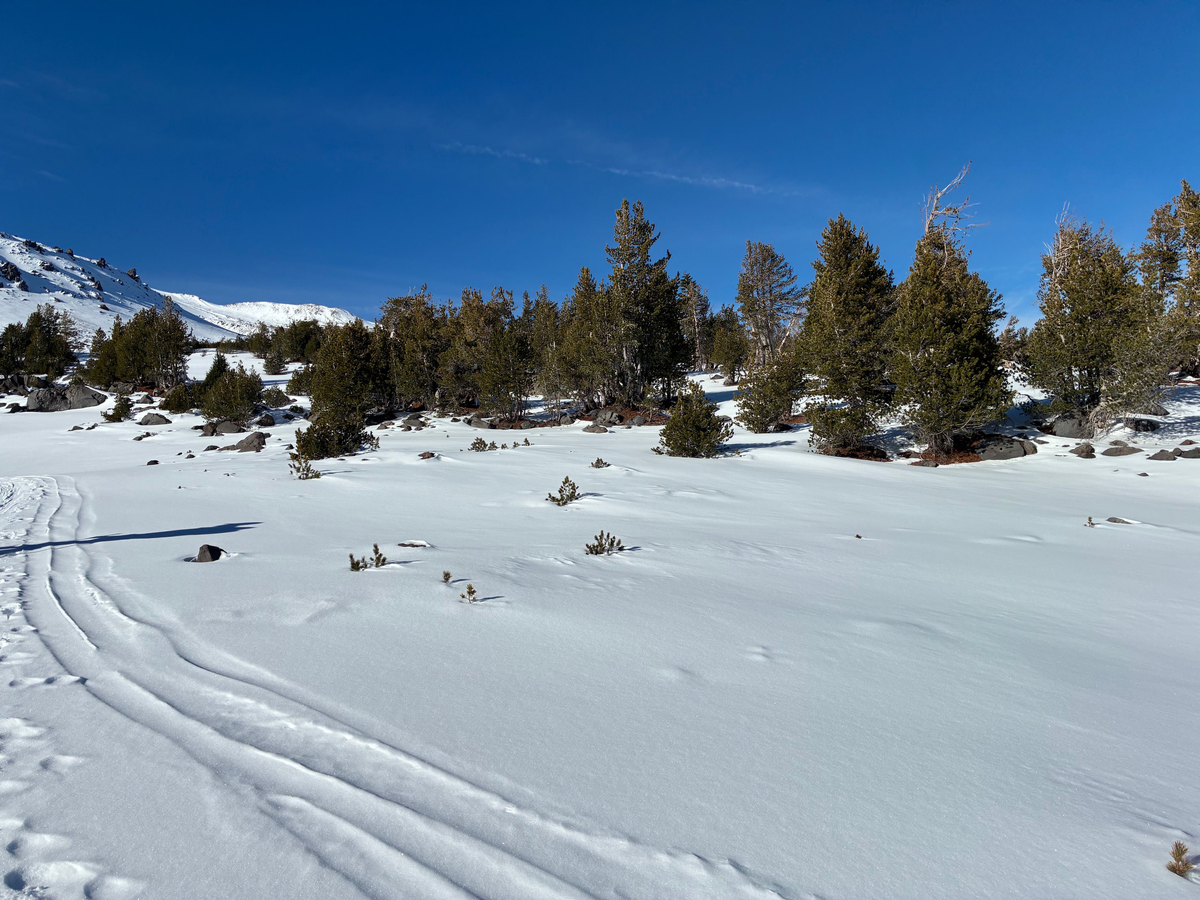
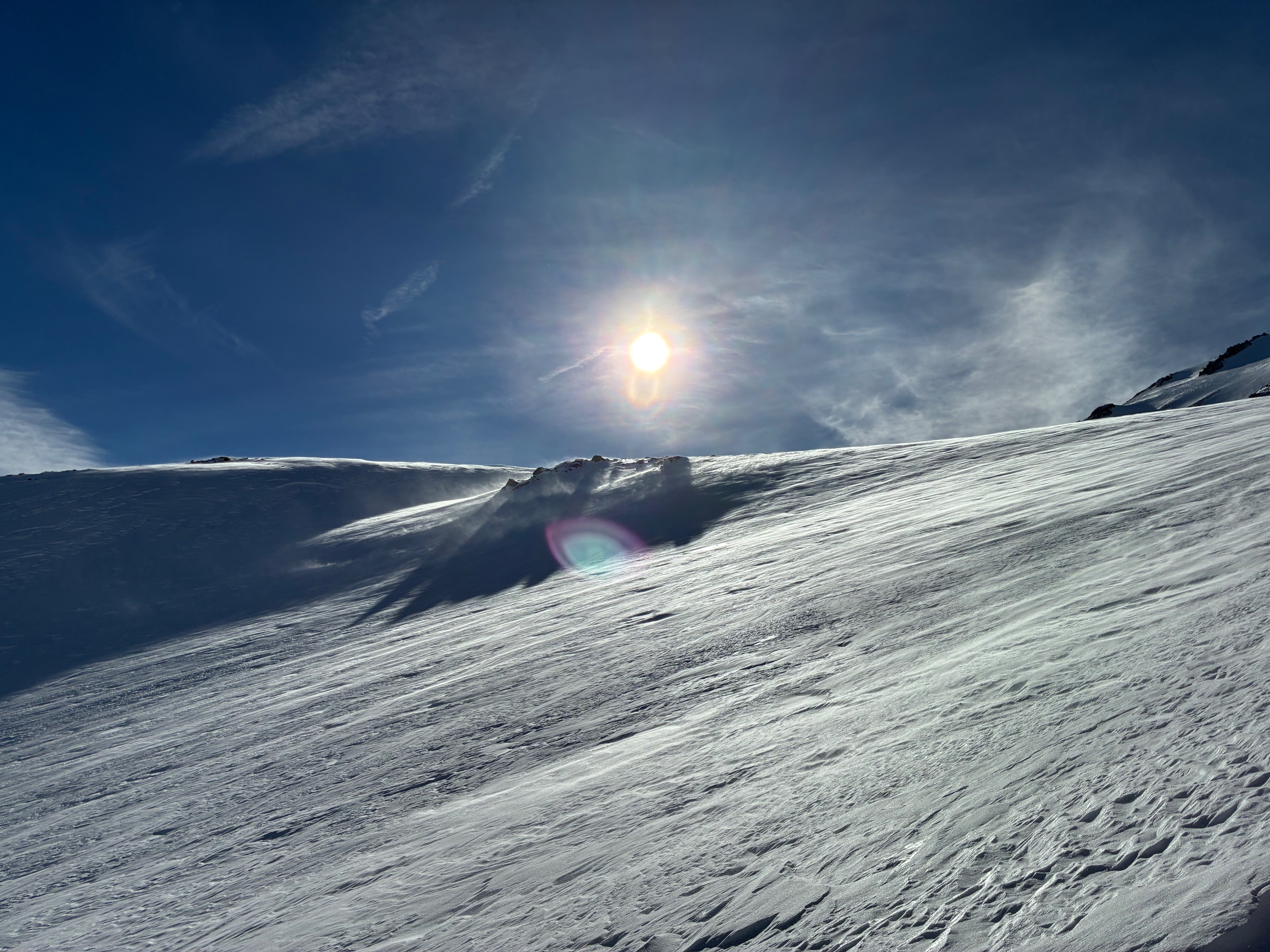
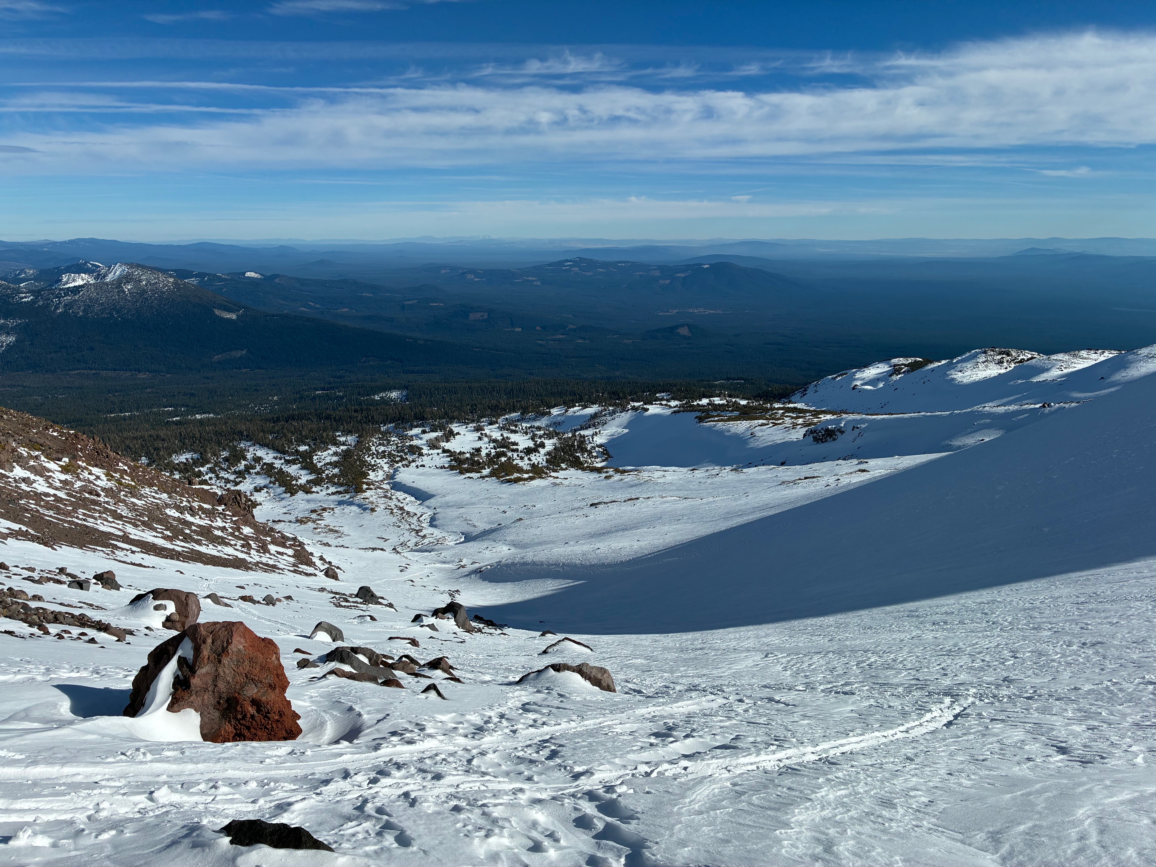
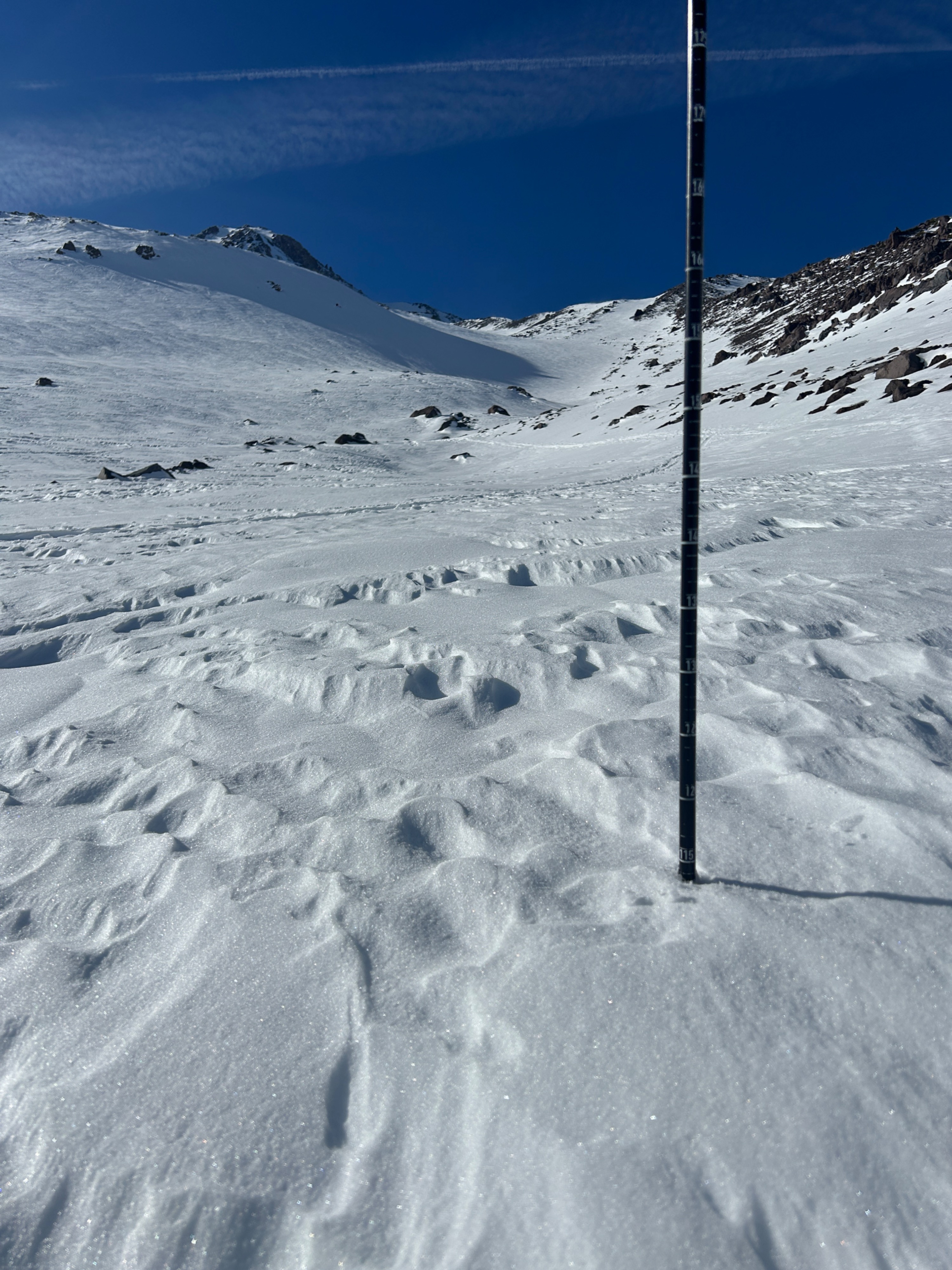
No avalanche danger was observed while in the field. The greater hazard remains a shallow snowpack with many buried obstacles and variable surfaces. I'm pleased to say my partner and I escaped unscathed. Surfaces varied from low desnsity snow, breakable crusts, hardpack, and windboard. In general, surface conditions deteriorate with elevation due to wind effect. Above treeline, dependent on where you are, you can find anything from chalky wind buff to hardpack. Near and below treeline, surfaces are more consistent and of better quality. Snow depth is spatially variable dependent on terrain. Gullies and concave pockets held the best coverage and depths. Though, many buried objects were still present.
Weather
- Air Temp
- 43
- Cloud Cover
- few
- Wind Loading
- light
- Recent Snowfall
- 0
- Snow Avail For Transport
- small smounts
The day began calm and clear. Northwest winds blew at calm to light speeds, and temperatures sat in the mid to low 40s. High clouds aloft began forming over Mt. Shasta around noon and lasted through the remainder of the day.
Snowpack
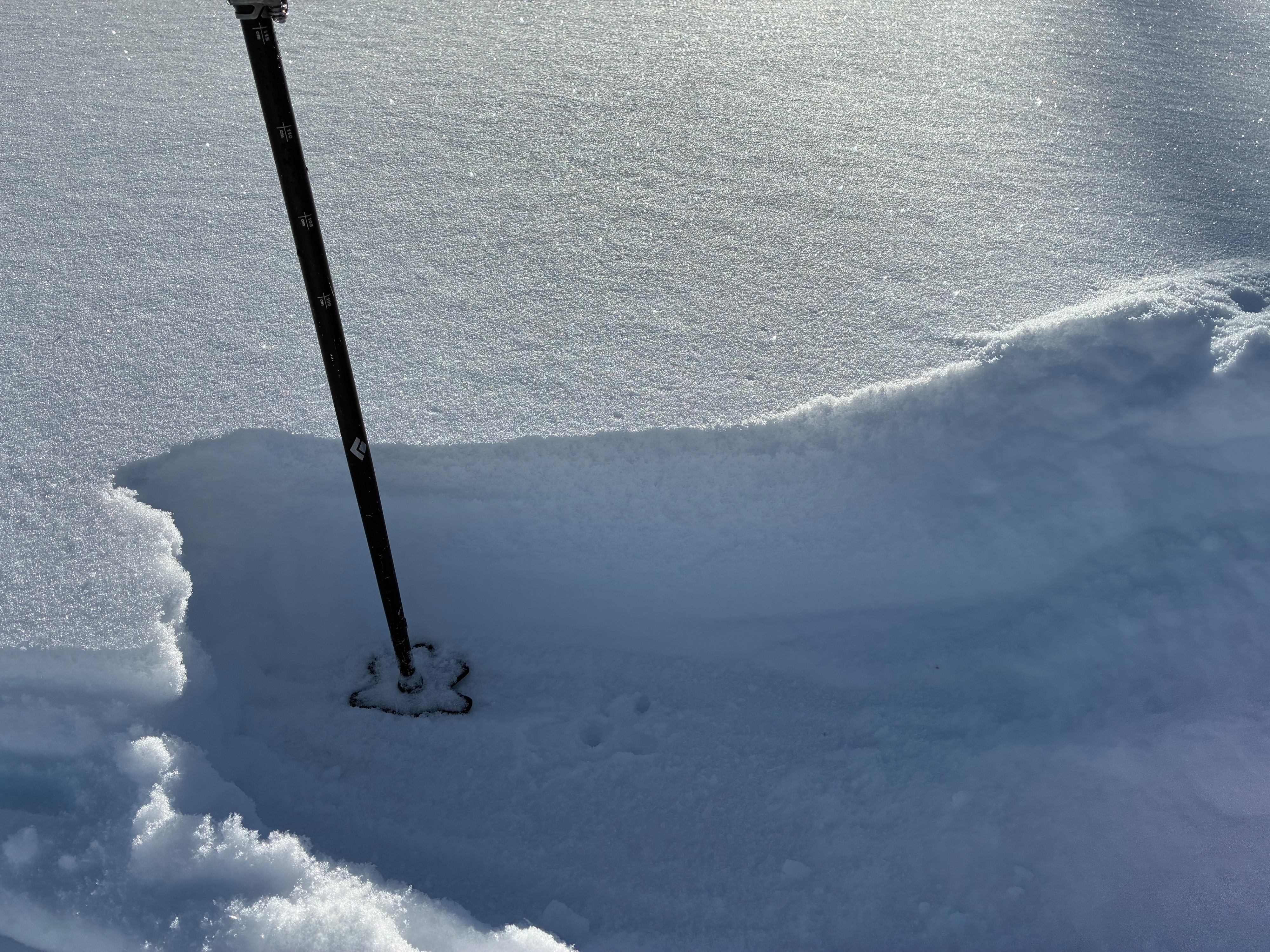
On average, a snowpack depth of 15-20 inches exists below treeline. The top 10 inches, deposited on November 17th, remains undisturbed. Beneath that is a harder snow layer from earlier in the season. This was the case both near and above treeline, except with deeper snow depths and more variable surfaces. On average, 30-60 inches of snow exists near and above treeline, with depths over a meter and a half in heavily drifted areas.