
Quick report
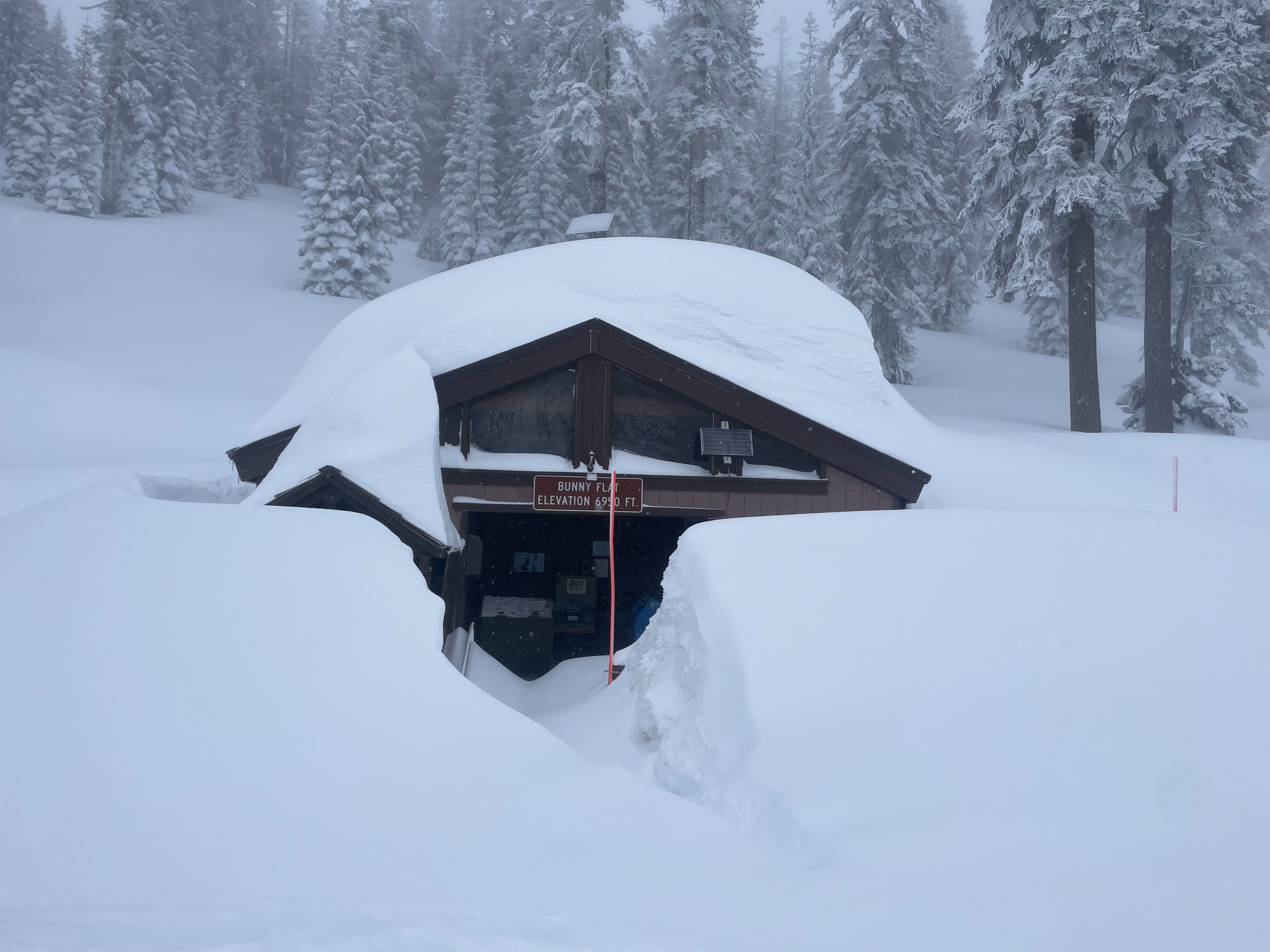
The objective of today was to assess new snow totals as well as look for any signs of instability on Mount Shasta. This storm cycle (since 2/29) has provided 25–30 inches of new snow at treeline. With decreased elevation, snow totals drop, but has accumulated low enough to allow adequate snowmobile access at 4,500 feet, and decent ski conditions at 5,000 feet. Today, no avalanches were observed, but visibility was very poor, limiting our ability to assess steeper terrain. A pit dug near treeline showed slab characteristics and moderate instability within the new snow.
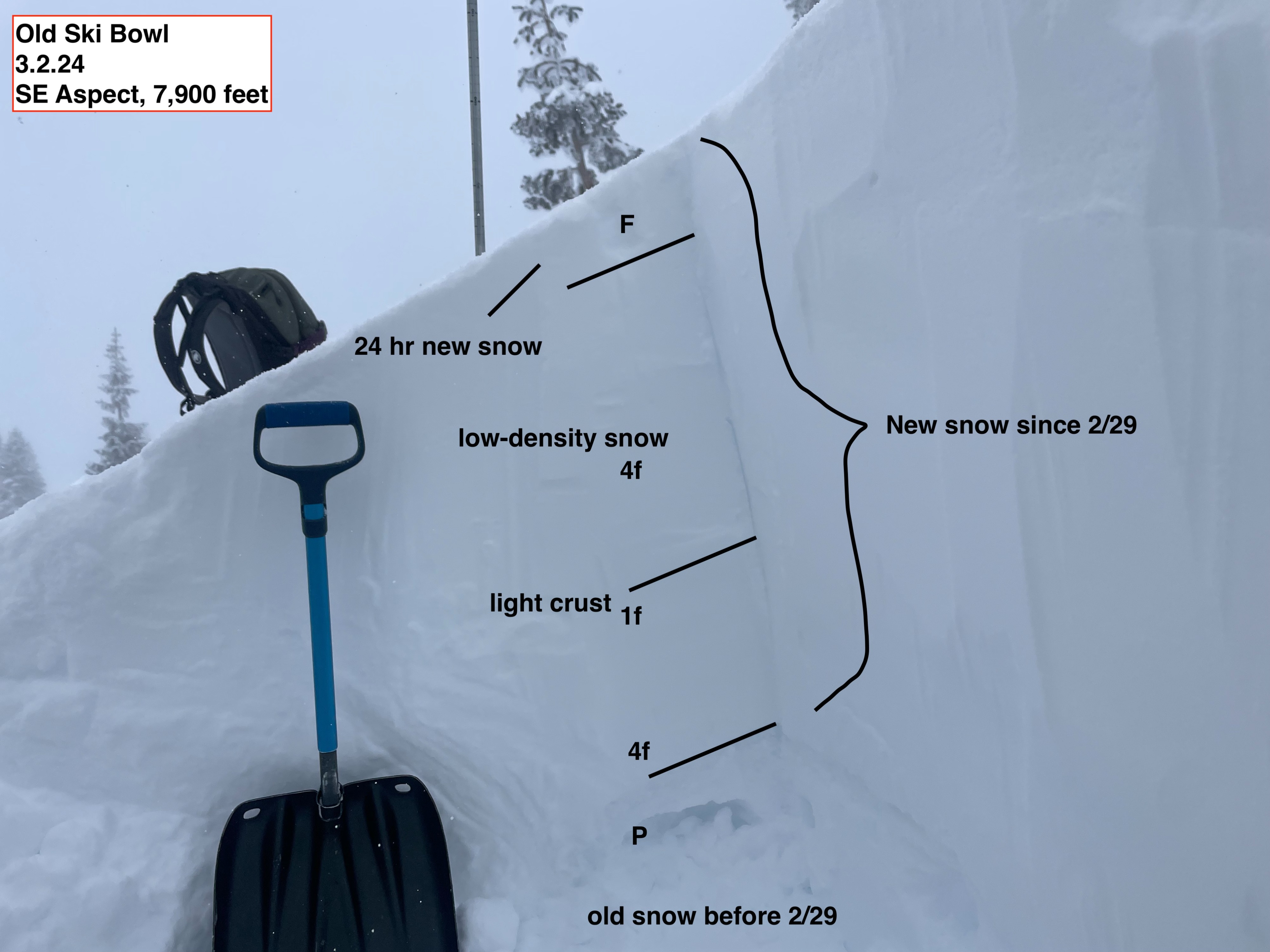
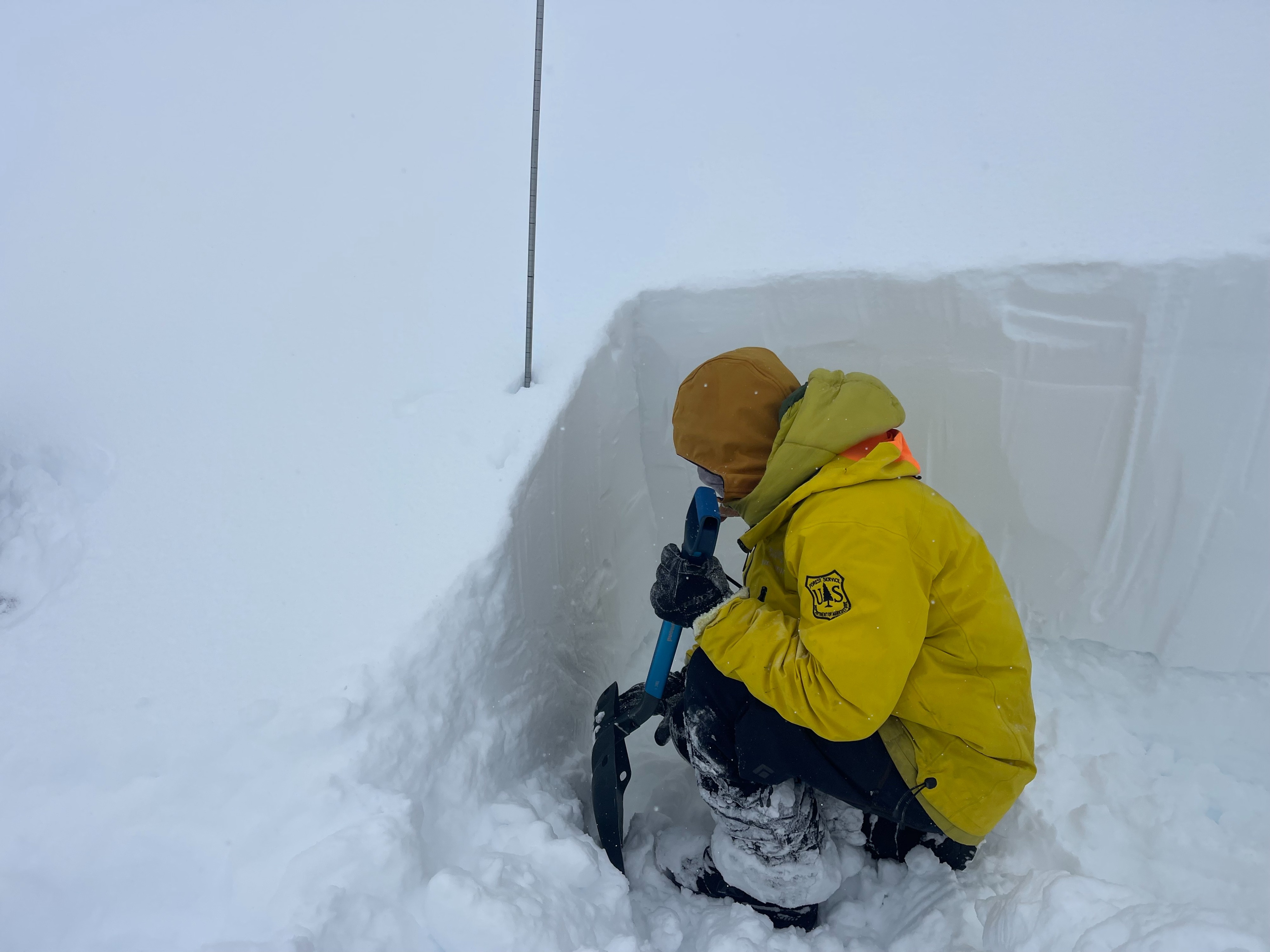
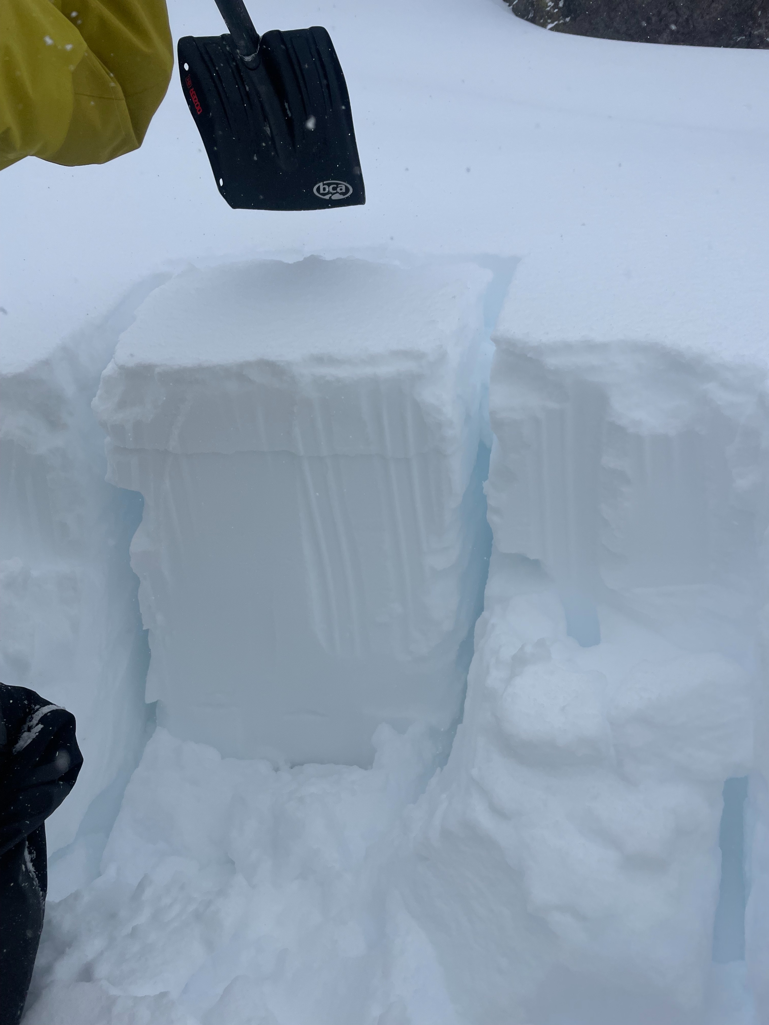
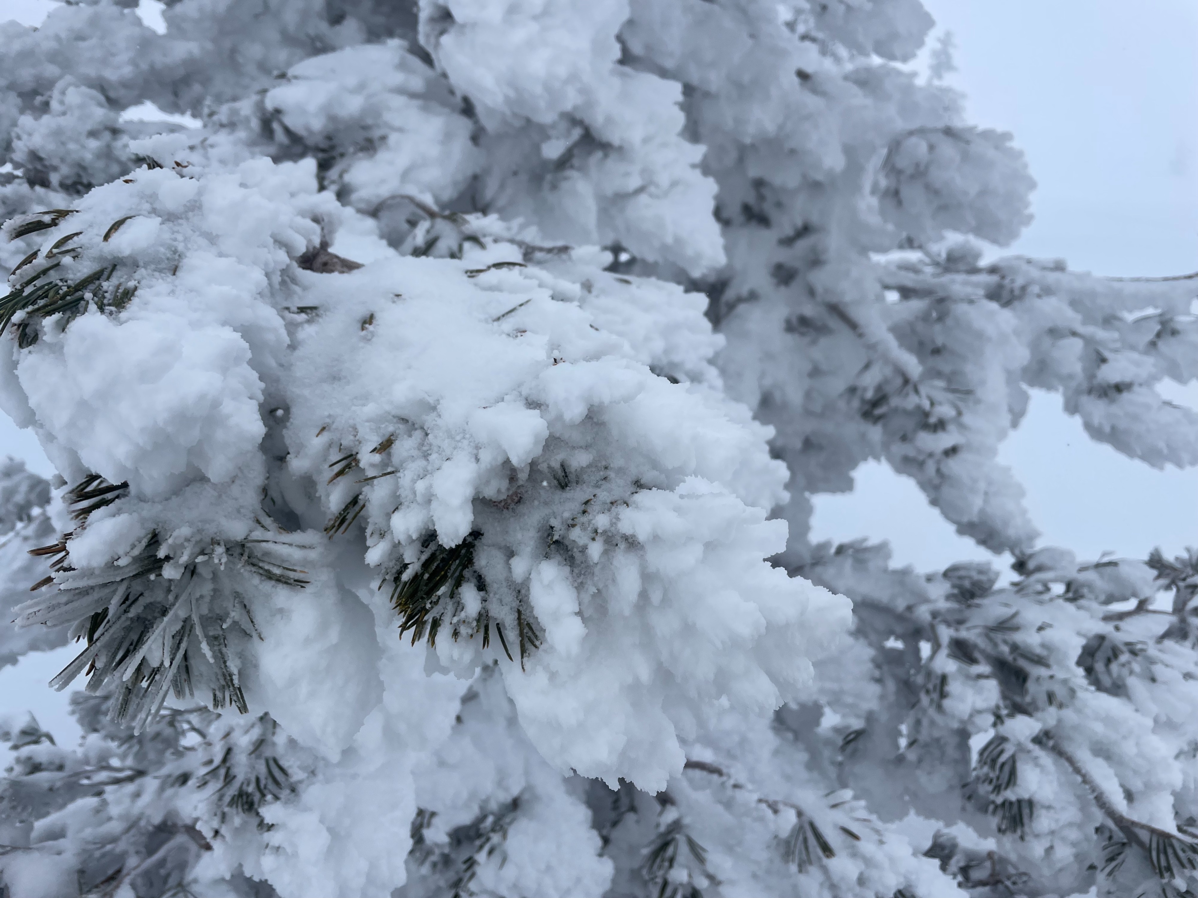
There were no obvious signs of instability in the field. That being said, there is a ton of snow out there (25-30 inches) since Thursday, and slab characteristics could be felt within. A pit dug on a SE aspect at 7,900 feet showed 75-80 cm of new low-density snow, with multiple density changes in between. Upon compression test, and extended column test, propagation occurred around tap 21 on a density change down 23 inches from the surface. This just proves that storm slab instability still exists within the new snow, and an avalanche could be quite large if triggered. Above 7,000 feet, snow has been blown into large, 3-4 foot tall, drifts, creating small cornices even on flat slopes and roads.Weather
- Air Temp
- 14
- Cloud Cover
- obscured
- Wind Loading
- moderate
- Rain Elevation
- Below town
- Recent Snowfall
- 10 -15 (in last 24 hrs), ~75+ in the last 3 days
- Snow Avail For Transport
- large amounts
A stormy and cold day. Precipitation trickled in and out, providing a light dusting on top of the recent 4–6 inches. Temperatures stayed well below freezing, preserving the fresh, cold low-density snow. The wind was calm and unnoticeable below 7,000 feet. Gray Butte weather station (8,000 feet) recorded moderate westerly wind. Visibility remained poor, preventing any views of the mountain above treeline.
Snowpack
Overall, 25–30 inches of new, low-density snow was found resting on top of pencil hard, melt-freeze old snow from before this storm cycle. Snow accumulations decrease at lower elevations, 6,000 feet had ~20 inches of new snow, and 5,000 feet had closer to 8 inches.
Avalanche
No avalanches were observed.