
Quick report
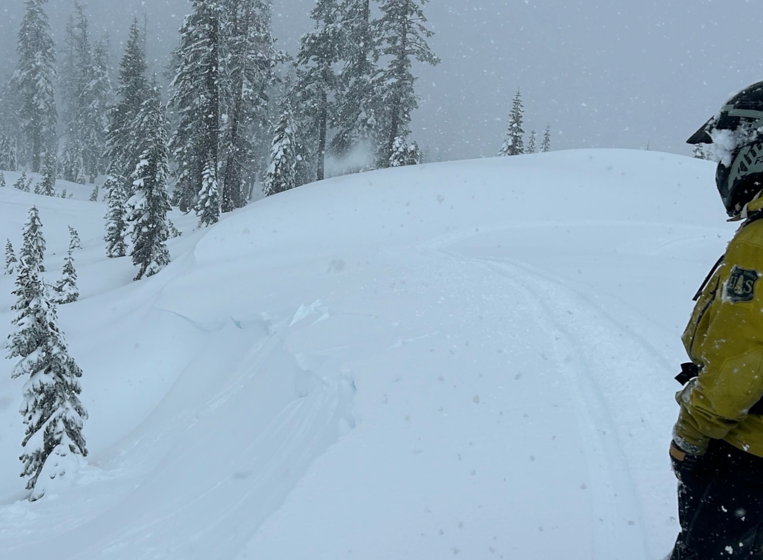
- Cracking
- specific
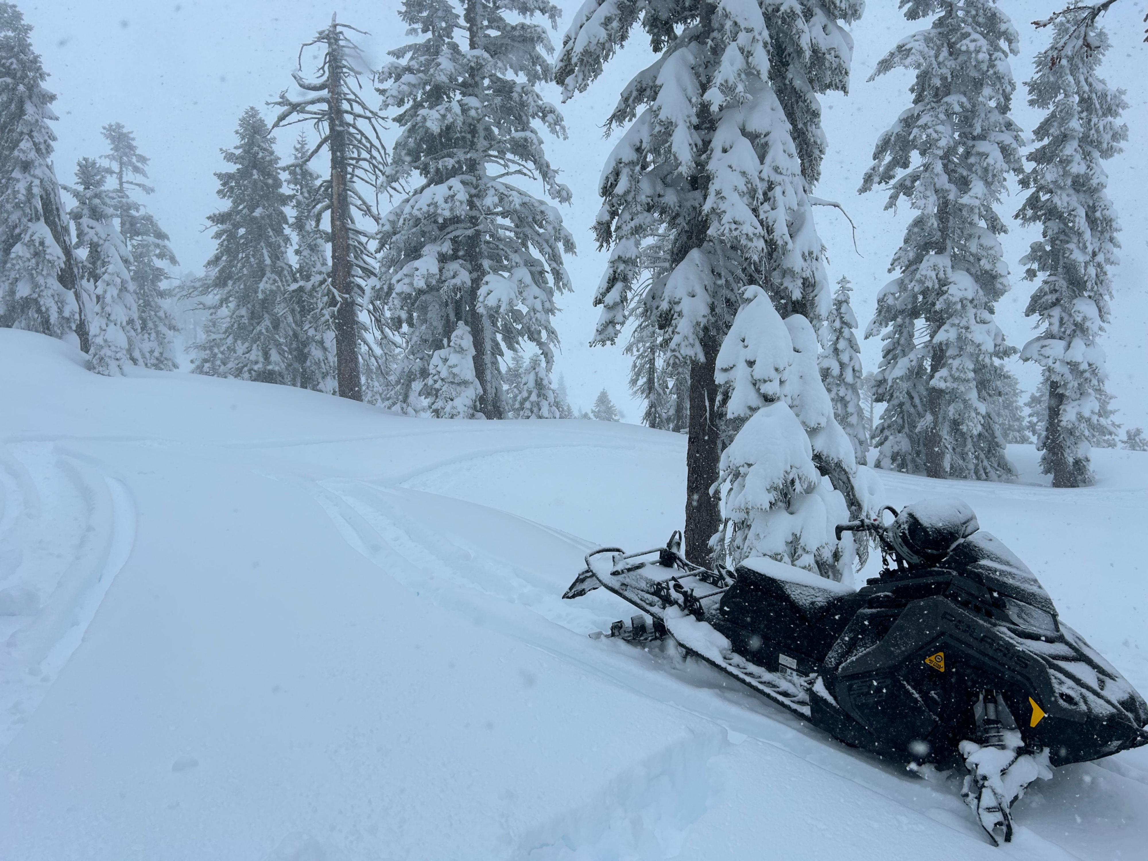
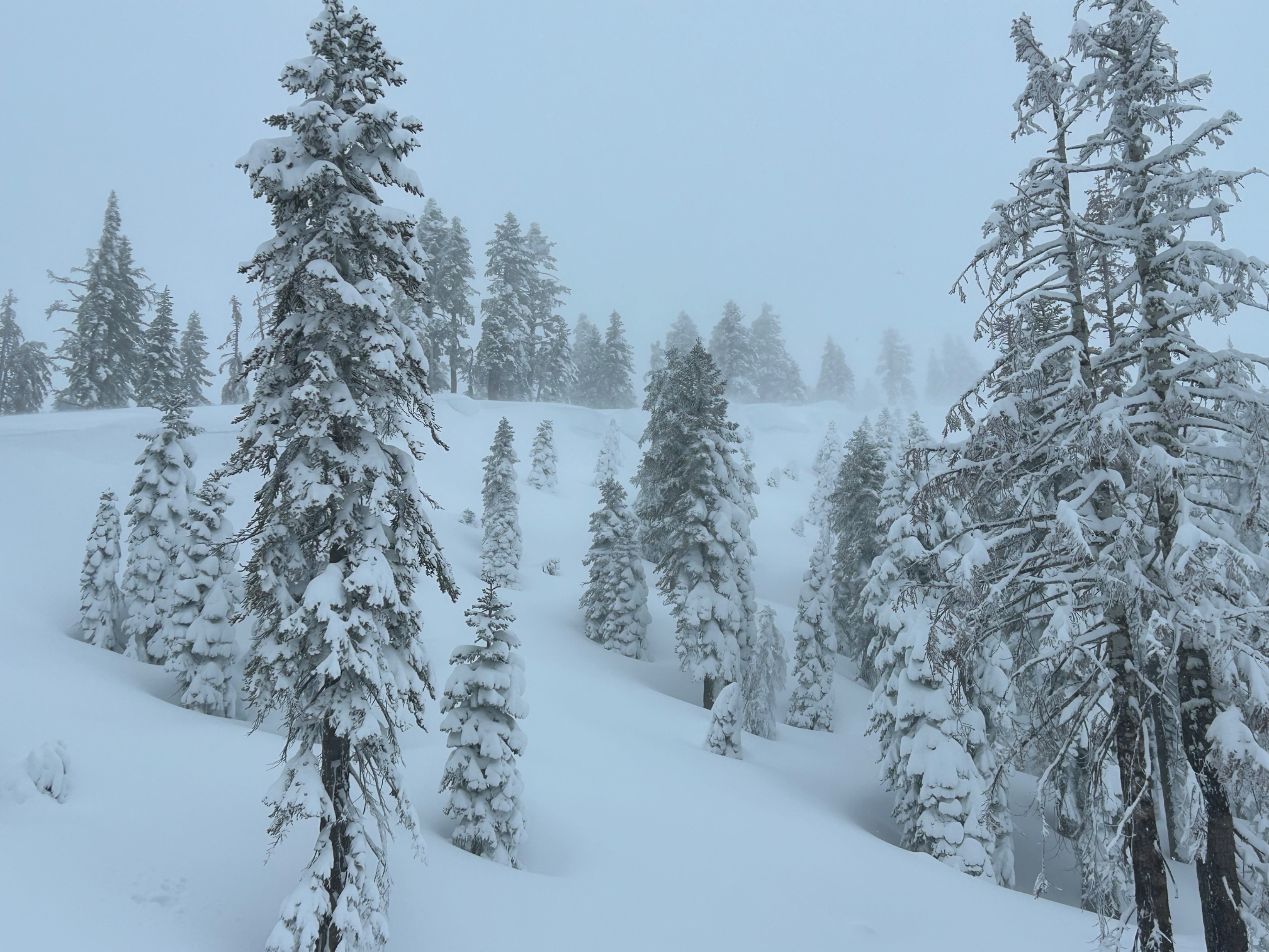
Today was storm day. A wet, warm, and calm morning, with rain on snow up to 7,000 feet, drastically flipped to cold, snowy, and blustery by mid-day. The snow was heavy and thick, making for expert level riding near and below treeline. As the storm ramped up, temperatures dropped and snowfall rates increased, improving conditions. Reactive wind lips and unstable test results were the main instability findings.
Weather
- Air Temp
- 31
- Cloud Cover
- obscured
- Wind Loading
- moderate
- Rain Elevation
- 6,700
- Recent Snowfall
- 2.5 feet
- Snow Avail For Transport
- moderate amounts
The weather trended from warm to cold throughout the day. At 7,000 feet, rain transitioned to snow around 10am. A snowfall rate of S1-S2 occurred for the remainder of the field visit. West wind blew at moderate to strong speeds, with temperatures in the high 20s, to low 30s.
Snowpack
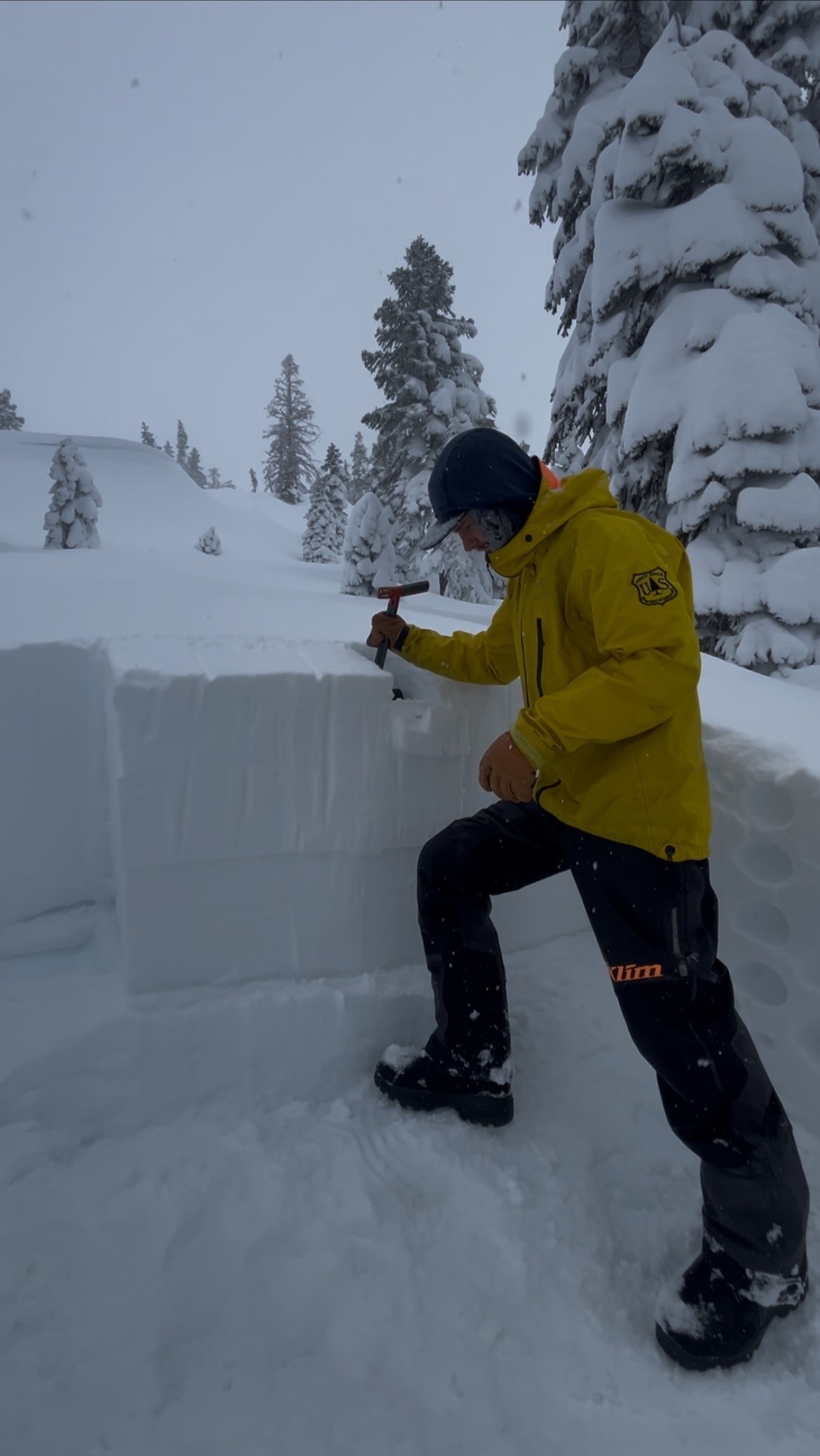
- Two and a half feet of new snow has fallen near treeline over the last three days. A pit dug on an east-southeast aspect near treeline, revealed a storm interface 40 cms down that resulted in propagation with moderate force. This interface formed from denser snow falling atop softer snow within the last 24 hours.
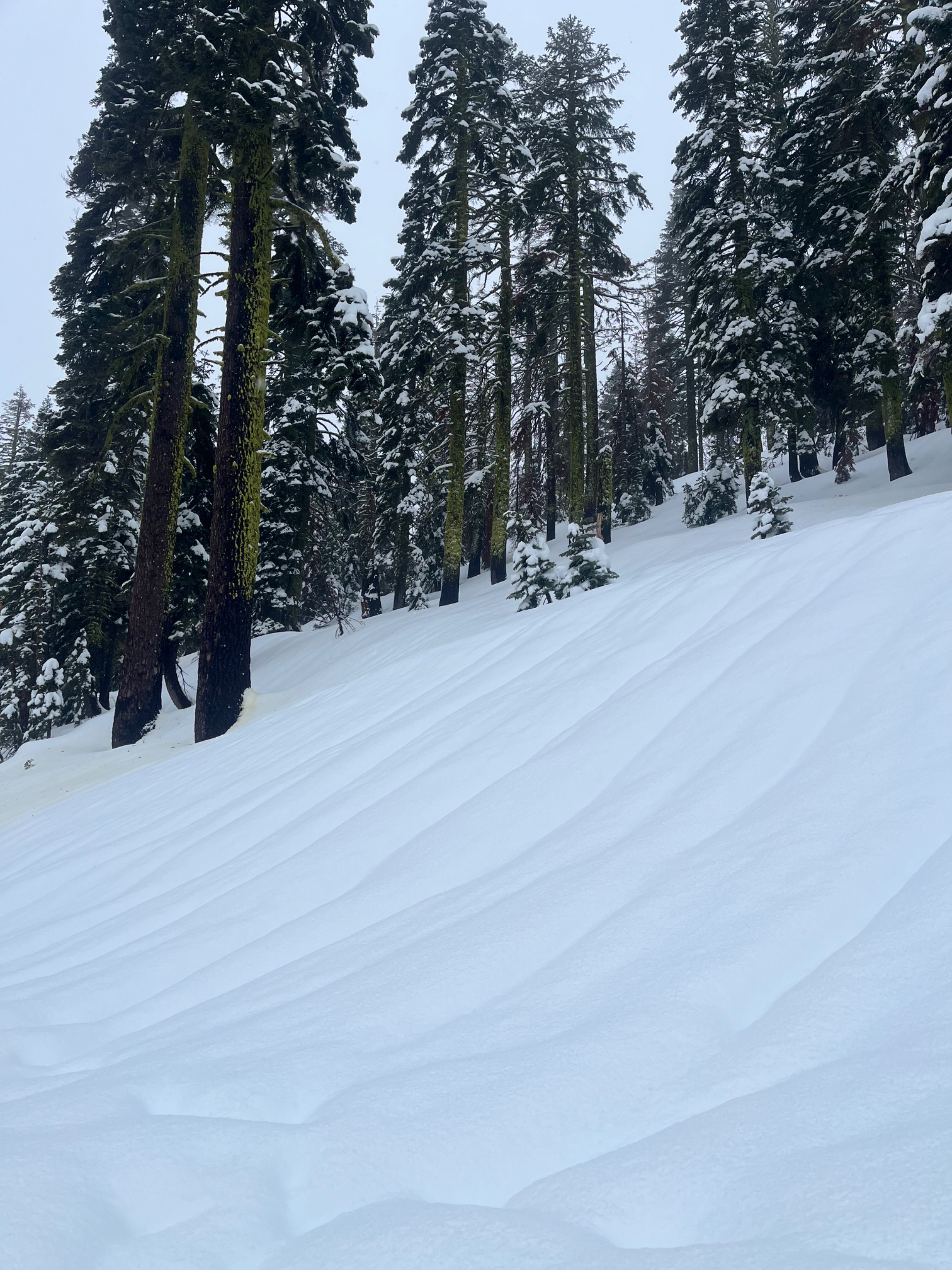
- Leeward east and south aspects along convex terrain features and ridgelines were being actively loaded by west winds. Snow texture and fresh wind lip formations were visible.
- Below 5,000 feet, the snowpack is drenched with water from rain.