
Quick report
Today's objective was to assess the new snow that had fallen overnight, and look for recent avalanche activity. In Old Ski Bowl, we found 24 inches of new snow since the start of this storm system on Friday. This puts overnight accumulation at around 8 inches (20 cm). Surface snow became moist through the day, due to the warm temps and rain. The terrible visibility limited our ability to assess any larger terrain. The remains of a crown could be seen under the rocks on Yellow Butte, which is likely related to the natural that occurred yesterday.
No instability was observed.Weather
- Air Temp
- 32
- Cloud Cover
- obscured
- Wind Loading
- none
- Rain Elevation
- 6000
- Recent Snowfall
- 20
- Snow Avail For Transport
- moderate amounts
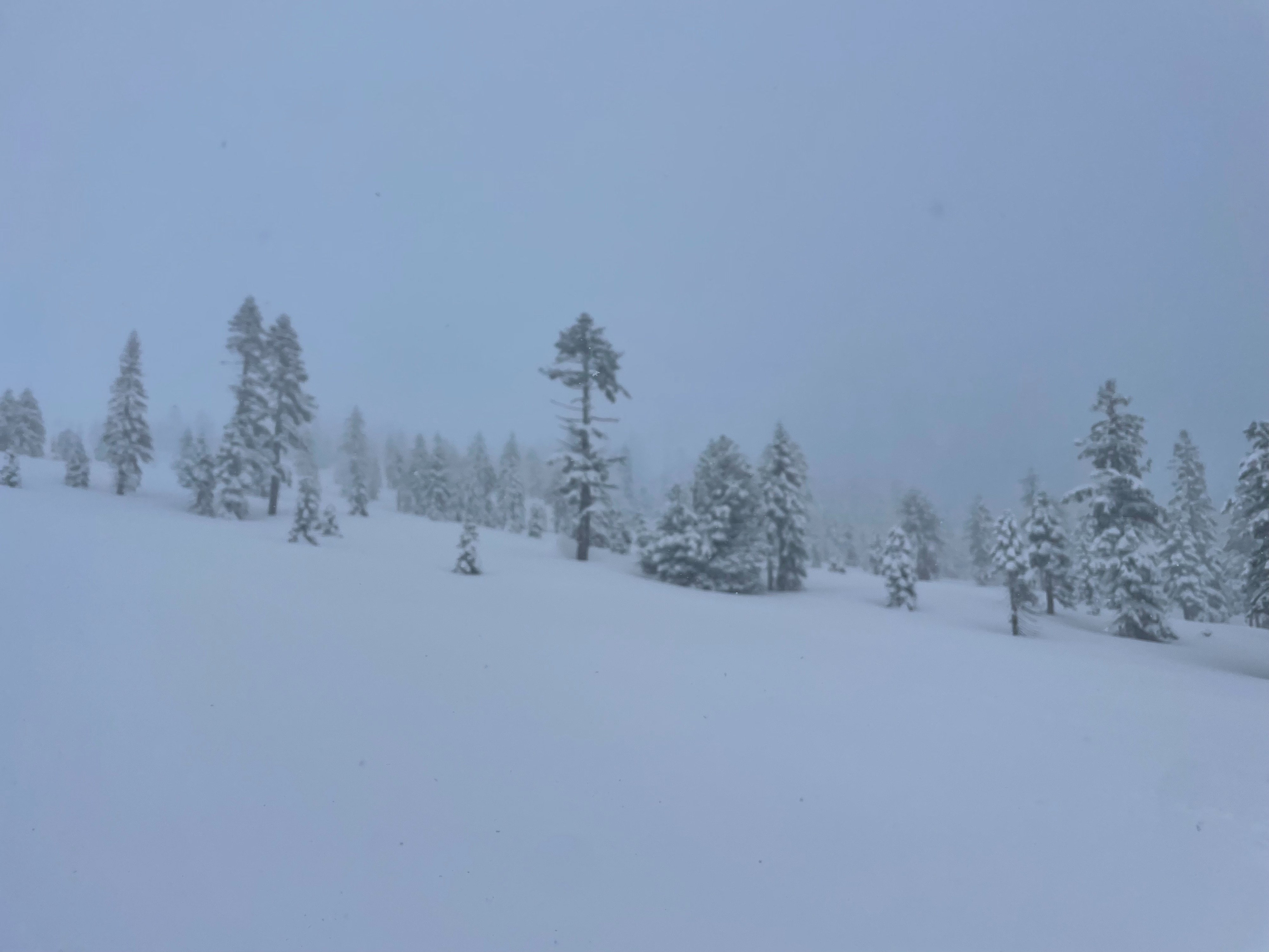
Precipitation continued to fall all day. Most fell in the form of snow, except for about two hours around 12, where it rained. Wind was calm to light out of south. Visibility was very poor (~200 feet) due to the foggy, humid conditions.
Snowpack
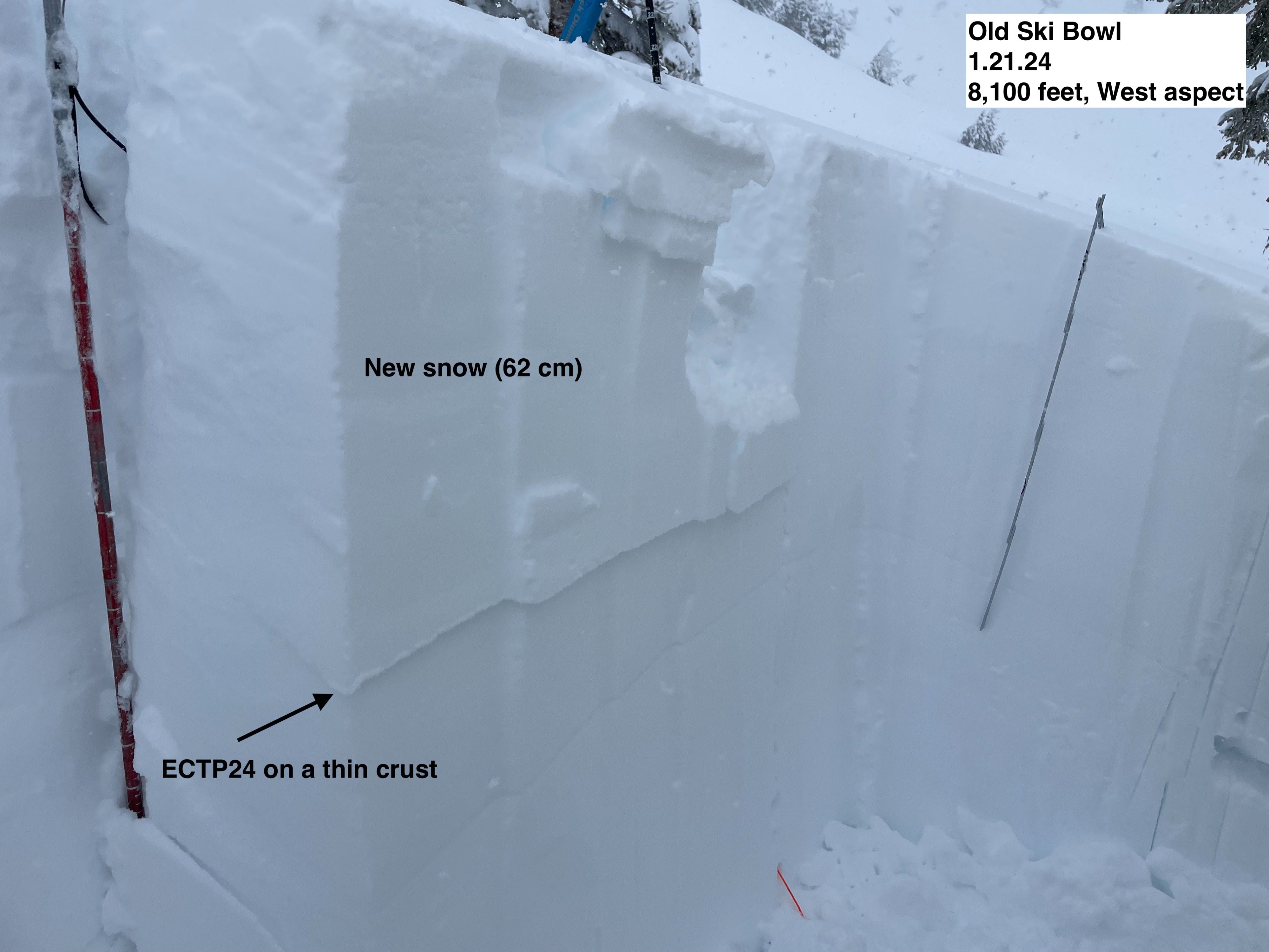
A pit was dug on a westerly aspect at 8,100 feet, just below Yellow Butte. Total snow depth was 104 inches (265 cm). Around 24 inches of recently deposited snow was found on top of a thin solar crust, with 6 inches of older snow underneath. Below that is a thicker crust, with dense, consolidated old snow below. Extended Column Test (ECT) results showed small instabilities (no propagation) within the new snow, followed by a more significant result on the thin crust just beneath the new snow (down 62 cm). This layer did propagate on tap 24. In all, nothing to be alarmed about, all instabilities are associated with the rapid loading of dense new snow.
Avalanche
Small crowns could be seen under the rocks on the northwest end of Yellow Butte (west aspect). I suspect these crowns are associated with yesterday's large natural just south of Yellow Butte.