
Quick report
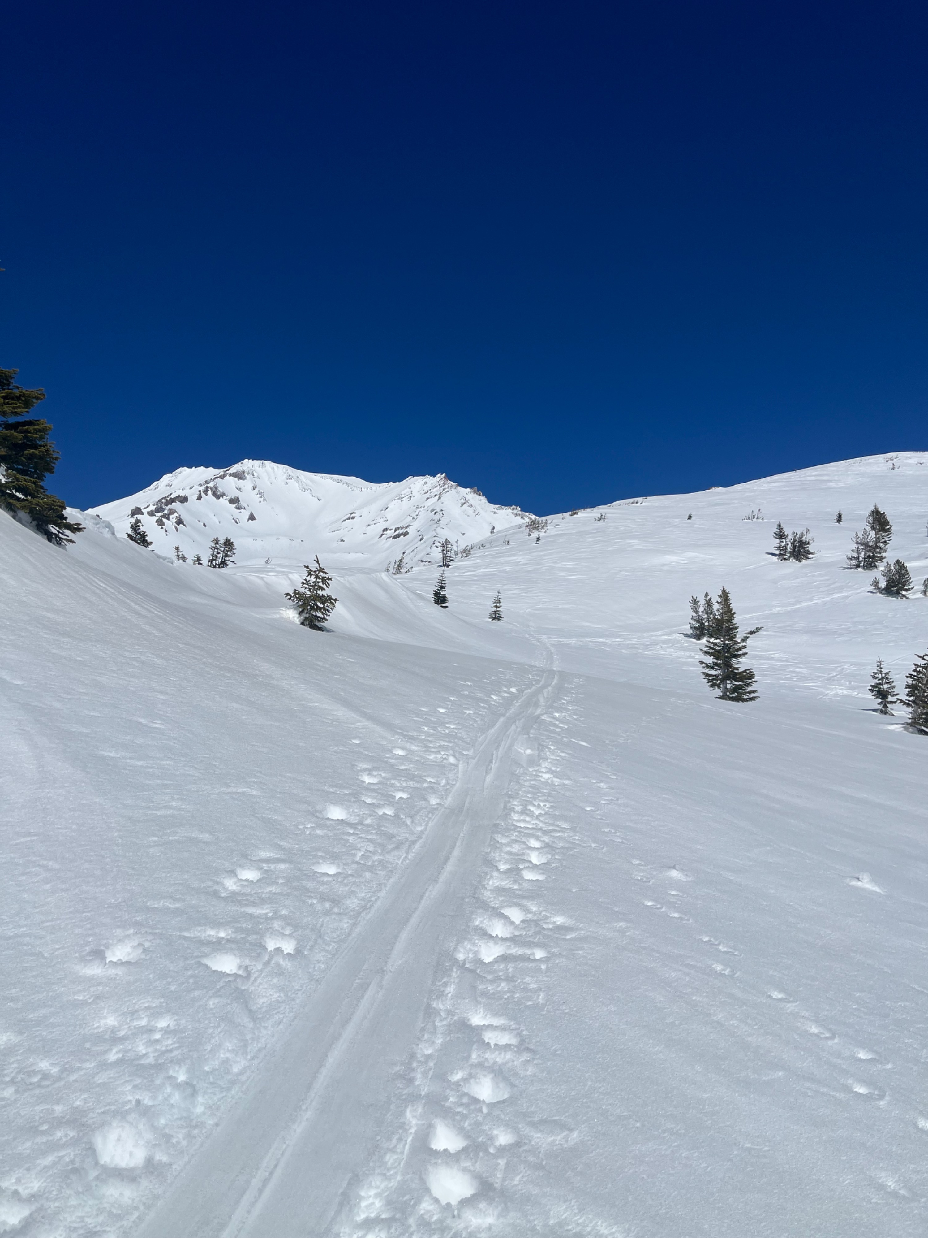
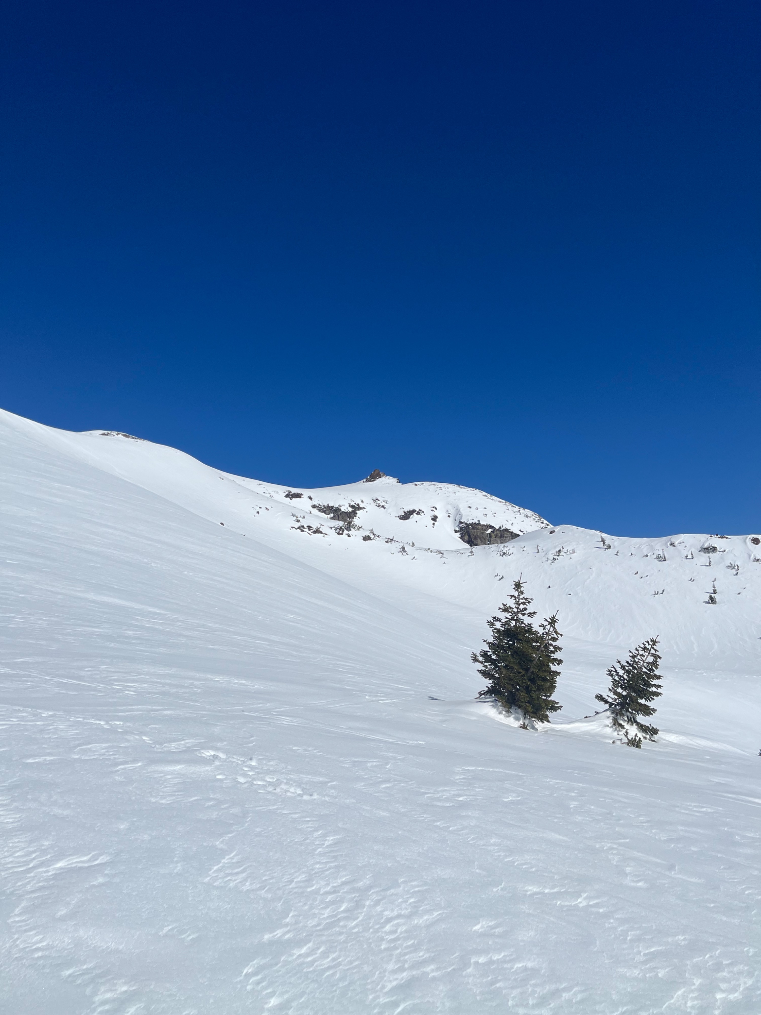
Today's outing on the Southside of Mount Shasta below and near the treeline offered no signs of instability. No sign of wet loose avalanches, roller balls, or wind transport on the ridges higher above the treeline. What we found between 7,000 and 8,400 feet was a range of three to eight inches of wet snow grains (corn) resting on a firm 1F hard layer of snow below. In the trees, we found deeper, stickier snow; however, the ridges had thinner snow and a slight crust. Ski cuts on steep test slopes did not cause wet snow to entrain and move downslope.
Tonight and into tomorrow will be much the same weather pattern as today, with no overnight refreeze expected below 10,000 feet and mountain temperatures climbing into the upper 40s and low 50s. Tomorrow afternoon and into the evening, clouds will build as temperatures cool and a band of precipitation moves into the region. The National Weather Service is forecasting six to ten inches of new snow for near and above treeline elevations of Mount Shasta.
No signs of instability.Weather
- Cloud Cover
- clear
- Wind Loading
- none
- Rain Elevation
- N/O
- Recent Snowfall
- N/O
- Snow Avail For Transport
- none
Another day of no refreeze below and near treeline for the forecast area with clear skies and light easterly wind. Temperatures rose from 39° F at 7:00 AM to 49° F by 2:00 PM.